The best road cycling routes around Mynachlog-Ddu
4.5
(24)
1,238
riders
64
rides
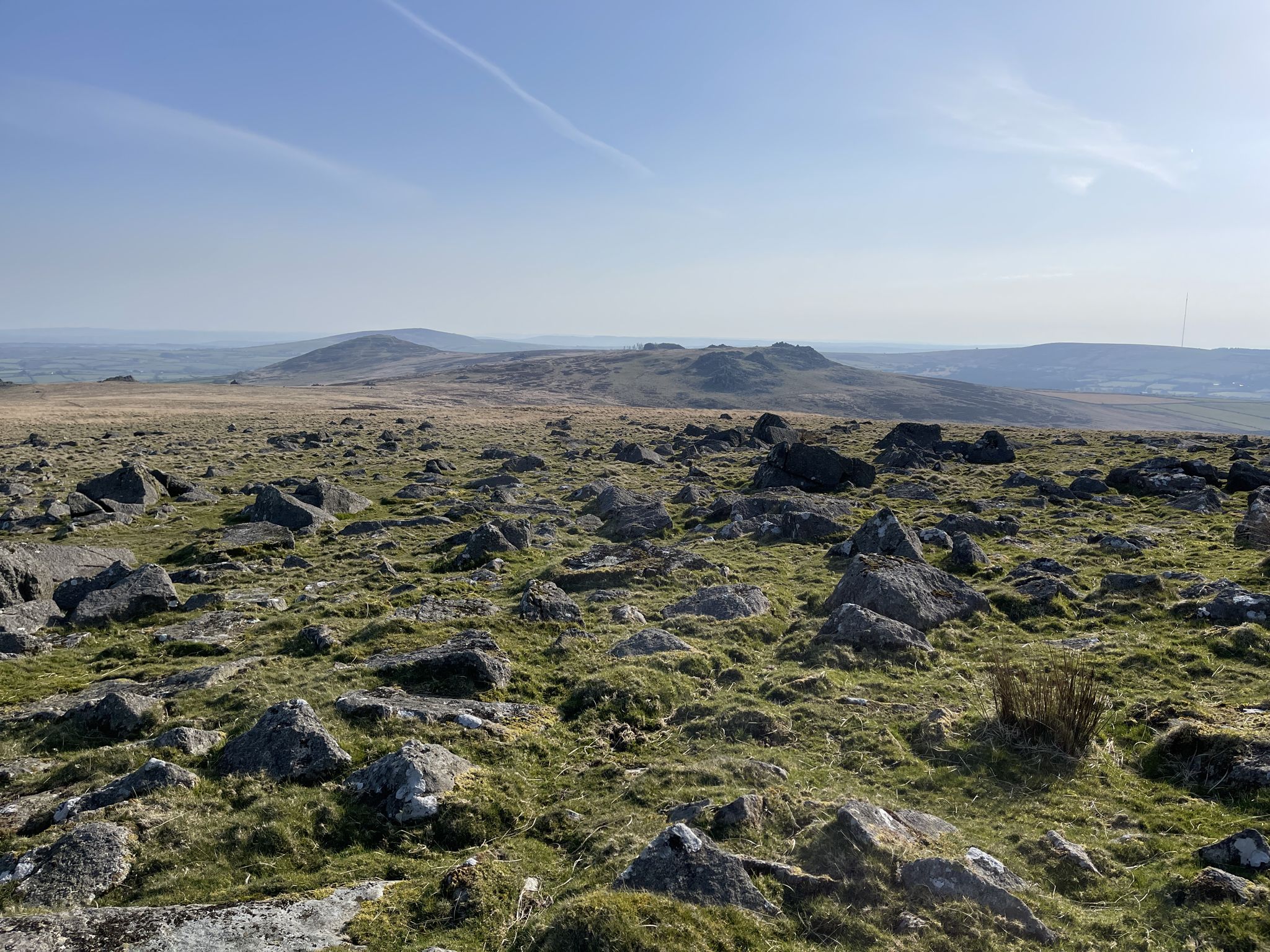
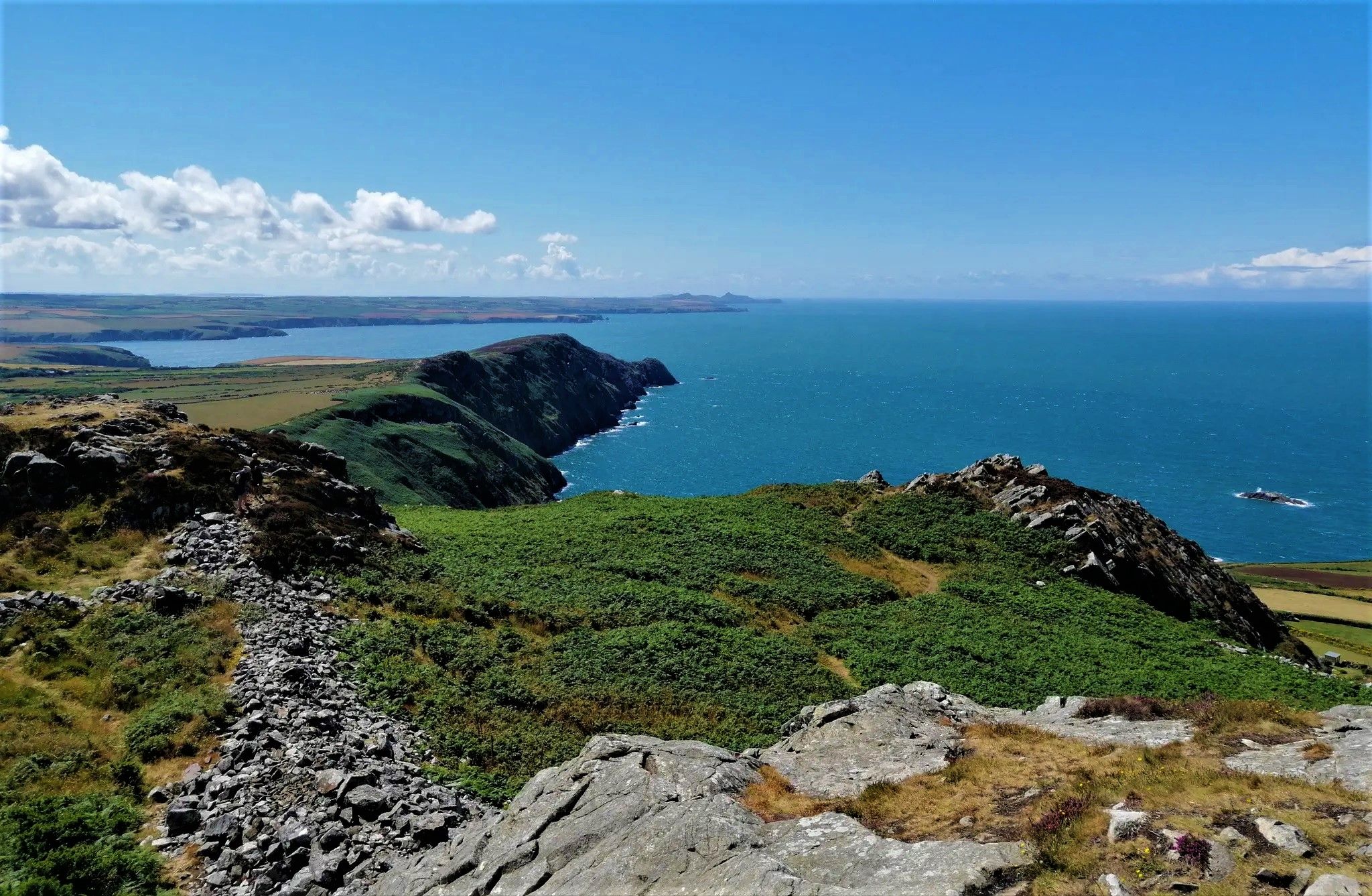
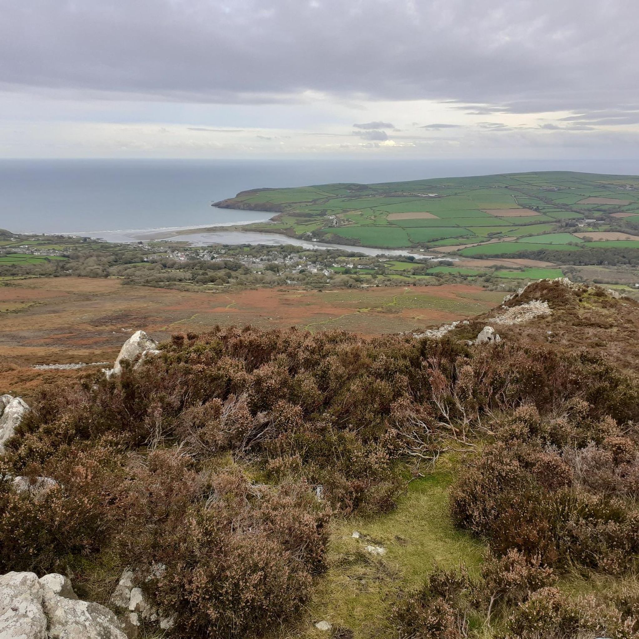
Road cycling routes around Mynachlog-Ddu traverse diverse landscapes, characterized by the undulating Preseli Hills, quiet country roads, and tranquil wooded valleys. The region offers a mix of challenging climbs and scenic stretches through open farmlands. Paved routes wind through atmospheric, treeless hills, providing variable terrain with significant ascents and descents. This variety ensures options for both demanding rides and more leisurely cycling experiences.
Best road cycling routes around Mynachlog-Ddu
- The most popular road cycling route is Saundersfoot Harbour and Beach – View of Carew Castle loop from Crymych, a 93.9 miles (151.1 km) trail that takes 7 hours 3 minutes to complete. This difficult route offers extensive riding through varied Pembrokeshire scenery, potentially including coastal views and historical landmarks.
- Another top favourite among local road cyclists is Gors Fawr Stone Circle – Waldo Memorial Standing Stone loop from Efailwen, a moderate 29.4 miles (47.4 km) path. This route leads through the countryside, passing ancient monuments and offering glimpses into the region's history.
- Local road cyclists also love the Pont Treseli – Cenarth Falls loop from Crymych, a 42.9 miles (69.1 km) trail leading through scenic areas, often completed in about 3 hours 21 minutes. This difficult route provides a rewarding ride with varied terrain.
- Road cycling around Mynachlog-Ddu is defined by the Preseli Hills, quiet country lanes, and wooded valleys. The network offers options for different ability levels, from moderate rides to more challenging routes with significant elevation gain.
- The routes in Mynachlog-Ddu are highly rated by the komoot community with an average score of 4.6 stars from over 25 reviews. More than 1,200 road cyclists have used komoot to explore Mynachlog-Ddu's varied terrain.
Last updated: May 24, 2026
602
riders
151km
07:03
1,810m
1,810m
Hard road ride. Very good fitness required. Mostly well-paved surfaces and easy to ride.
5.0
(2)
23
riders
47.4km
02:17
670m
670m
Moderate road ride. Good fitness required. Mostly well-paved surfaces and easy to ride.

Sign up for free
14
riders
69.3km
03:24
980m
980m
Hard road ride. Very good fitness required. Some segments of this route may be unpaved and difficult to ride.
5.0
(5)
13
riders
Moderate road ride. Good fitness required. Mostly well-paved surfaces and easy to ride.
7
riders
Moderate road ride. Good fitness required. Mostly well-paved surfaces and easy to ride.
Get access to more routes and recommendations from other explorers.
Sign up for free
Already have an account?
Our route recommendations are based on thousands of hikes, rides, and runs completed by other people on komoot.
Start today with a free account
Your next adventure awaits.
Login or Signup


Tips from the Community

This is no longer Blasus, it is now Pasta Boy which I do highly recommend. Very tasty pasta dishes and their coffee is excellent too.
0
0

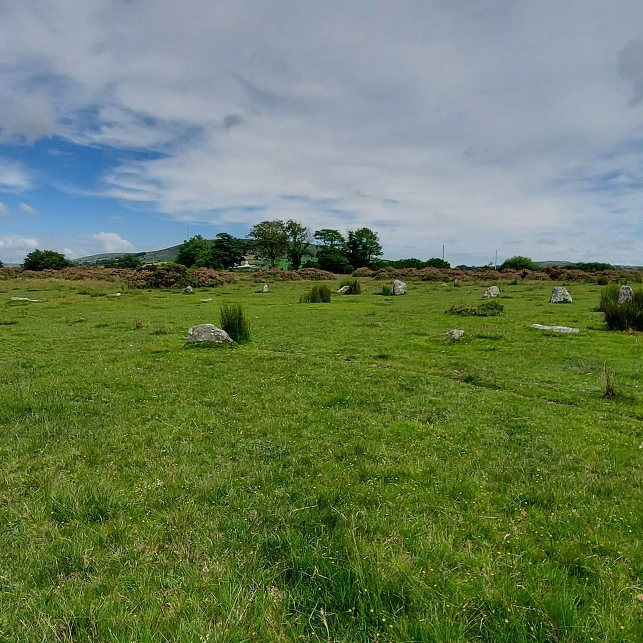
Very interesting and remote, Fields can get high in grass so do keep that in mind to walk a bit further in and you will see the stones in the landscape.
0
0

The B4329 climbs up to Bwlch-gwynt ("Windy Gap"), forming the highest road pass in the Preseli Hills at an elevation of 404m. The climb from Brynberian is 4.3km in length with an average gradient of 6.4% and the steepest section around 11%. There are a lot of sheep freely crossing the road, or possibly over-taking you. Rain, mist and thick fog will frequently be experienced on this route.
0
0

This pretty little chapel stands near the village of Mynachlog-ddu on the fringes of the Preseli Hills. From here, you could hike to Carn Menyn, Carn Siàn, Foel Drygarn and Foel Dyrch.
0
0

Excellent cafe in Crymych, serving good fresh food & coffee😎😎 Seating inside & outside.
0
0
Be aware when descending to the beach that sand is often blown onto the road & can be quite deep at times.
0
0
Frequently Asked Questions
How many road cycling routes are available around Mynachlog-Ddu?
There are over 60 road cycling routes available around Mynachlog-Ddu, offering a wide variety of experiences for cyclists of all levels.
What are the typical difficulty levels for road cycling routes in this area?
The routes around Mynachlog-Ddu cater to various abilities. You'll find a good mix, with around 40 moderate routes, nearly 20 difficult options for those seeking a challenge, and a few easier rides for a more relaxed pace.
What natural monuments can I see along road cycling routes in Mynachlog-Ddu?
Many routes offer glimpses of the region's natural beauty. You might pass by significant landmarks such as Foel Cwmcerwyn summit, the highest point in the Preseli Hills, or the ancient Bedd Arthur Stone Circle. Other notable natural features include Carningli Mountain and Foel Eryr Summit Cairn.
Are there any historical landmarks or points of interest accessible by road bike?
Yes, the area is rich in history. Cyclists can explore routes that pass by ancient sites like the Foel Drygarn Hillfort and Cairns, offering panoramic views and a sense of the past. The route Gors Fawr Stone Circle – Waldo Memorial Standing Stone loop from Efailwen specifically leads through the countryside, passing ancient monuments.
Are there routes that offer panoramic views?
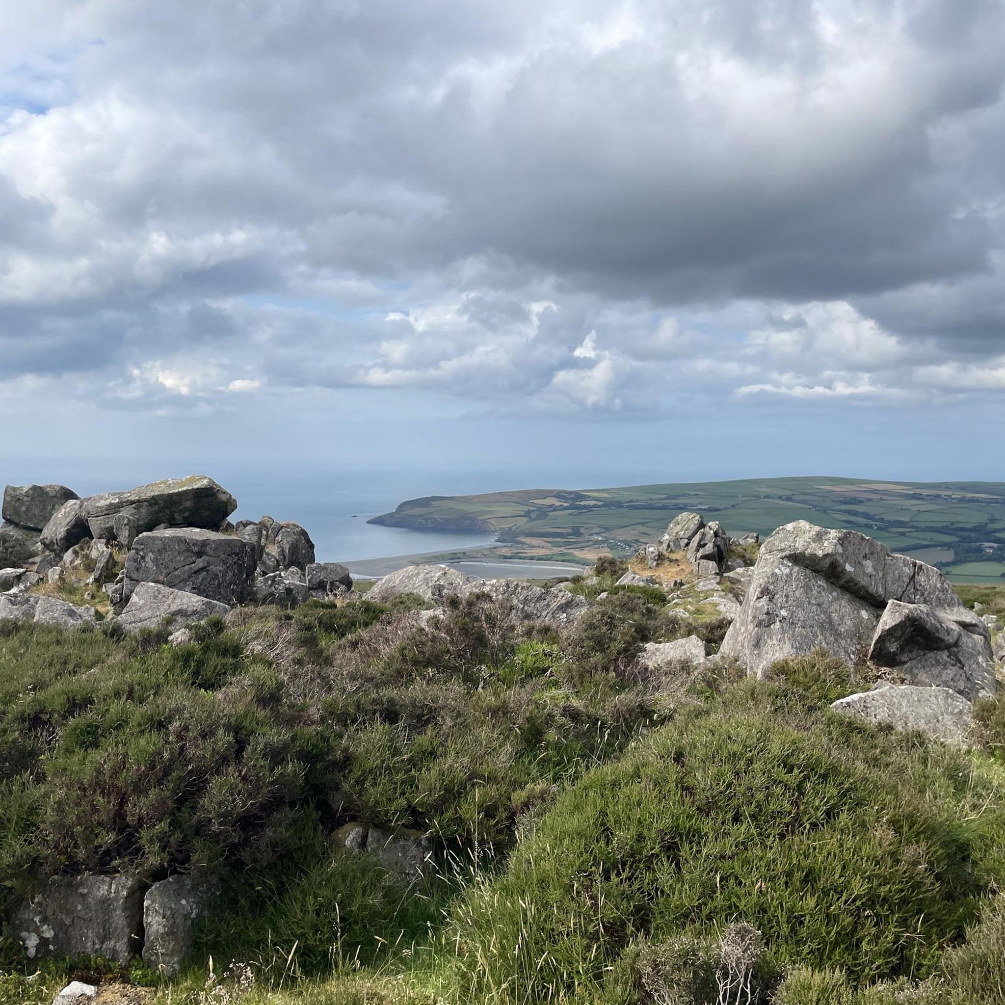
Absolutely. The Preseli Hills are renowned for their superb and panoramic views. Many routes, especially those traversing the higher sections of the hills, provide breathtaking vistas that on clear days can extend far across the Pembrokeshire landscape, sometimes even as far as Ireland.
What do other road cyclists enjoy most about the routes around Mynachlog-Ddu?
The road cycling routes around Mynachlog-Ddu are highly rated by the komoot community, with an average score of 4.6 stars from over 25 reviews. Cyclists frequently praise the diverse landscapes, the quiet country roads, and the rewarding climbs and descents offered by the Preseli Hills.
Are there family-friendly road cycling routes in Mynachlog-Ddu?
While many routes involve undulating terrain and climbs, there are a few easier options available. For a more relaxed experience, look for routes categorized as 'easy' which typically have less elevation gain, making them more suitable for families or beginners.
Are there circular road cycling routes available?
Yes, many of the road cycling routes around Mynachlog-Ddu are designed as loops, allowing you to start and finish at the same point. For example, the Saundersfoot Harbour and Beach – View of Carew Castle loop from Crymych is a challenging circular route, and the Gors Fawr Stone Circle – Waldo Memorial Standing Stone loop from Efailwen offers a moderate circular ride.
Do any routes pass by cafes or places to refuel?
Yes, some routes are designed to pass through villages or near amenities where you can find cafes or shops to refuel. For instance, the route Waldo Memorial Standing Stone – Cafe in the United Kingdom loop from Llandissilio specifically includes a cafe stop, making it convenient for a break.
What is the best time of year for road biking in Mynachlog-Ddu?
Spring and autumn generally offer the most pleasant conditions for road cycling in Mynachlog-Ddu, with milder temperatures and less chance of extreme weather. Summer can also be excellent, though it can be busier. Always check the local weather forecast before heading out, especially when cycling in the exposed Preseli Hills.
Are there options for advanced road cyclists seeking a challenge?
Absolutely. The Preseli Hills provide significant climbs and descents, making for a challenging and rewarding road cycling experience. Routes like Pont Treseli – Cenarth Falls loop from Crymych are categorized as difficult, offering substantial elevation gain and varied terrain for experienced riders.
Where can I find more information about cycling in Pembrokeshire?
For broader information on cycling opportunities across the region, you can visit the official Pembrokeshire tourism website at visitpembrokeshire.com. Additionally, the Wales Coast Path website provides details on other cycling routes near the path: walescoastpath.gov.uk.
Most popular attractions around Mynachlog-Ddu

Get inspired with the komoot mobile app


Explore more
Browse the best Road cycling routes in other regions.
