The 20 Most Amazing Peaks around Huckelheimer Wald
Best mountain peaks around Huckelheimer Wald are located in the northern Bavarian Spessart, within the municipalities of Kleinkahl and Westerngrund. This region is characterized by natural forested landscapes and offers opportunities for nature exploration. The area features several notable peaks, including Hoher Querberg, Lindenberg, and Menschenkopf. Visitors can explore geological features, historical mining sites, and natural rock formations.
Best mountain peaks around Huckelheimer Wald
- The most popular mountain peaks include Horst Summit (541 m), a summit that offers a…
Last updated: June 24, 2026
Hufeisen Forest Junction
Highlight • Forest
From here it goes in all possible directions
Translated by Google •
Tip by

Beilstein Trail
Highlight • Trail
Showing Translation
Tip by

Sign up now to discover places like this
Get recommendations on the best single tracks, peaks, & plenty of other exciting outdoor places.
Sign up for free
Franzosenkopf (481 m)
Highlight • Summit
Translated by Google •
Tip by
Horst Summit (541 m)
Highlight • Summit
Translated by Google •
Tip by

Ringwork on the Reuschberg
Highlight • Historical Site
Translated by Google •
Tip by

Sign up for free to discover even more peaks around Huckelheimer Wald.
Sign up for free
Already have an account?
Start today with a free account
Your next adventure awaits.
Login or Signup
Tips from the Community

The information board on the Reuschberg provides a lot of information.
4
0

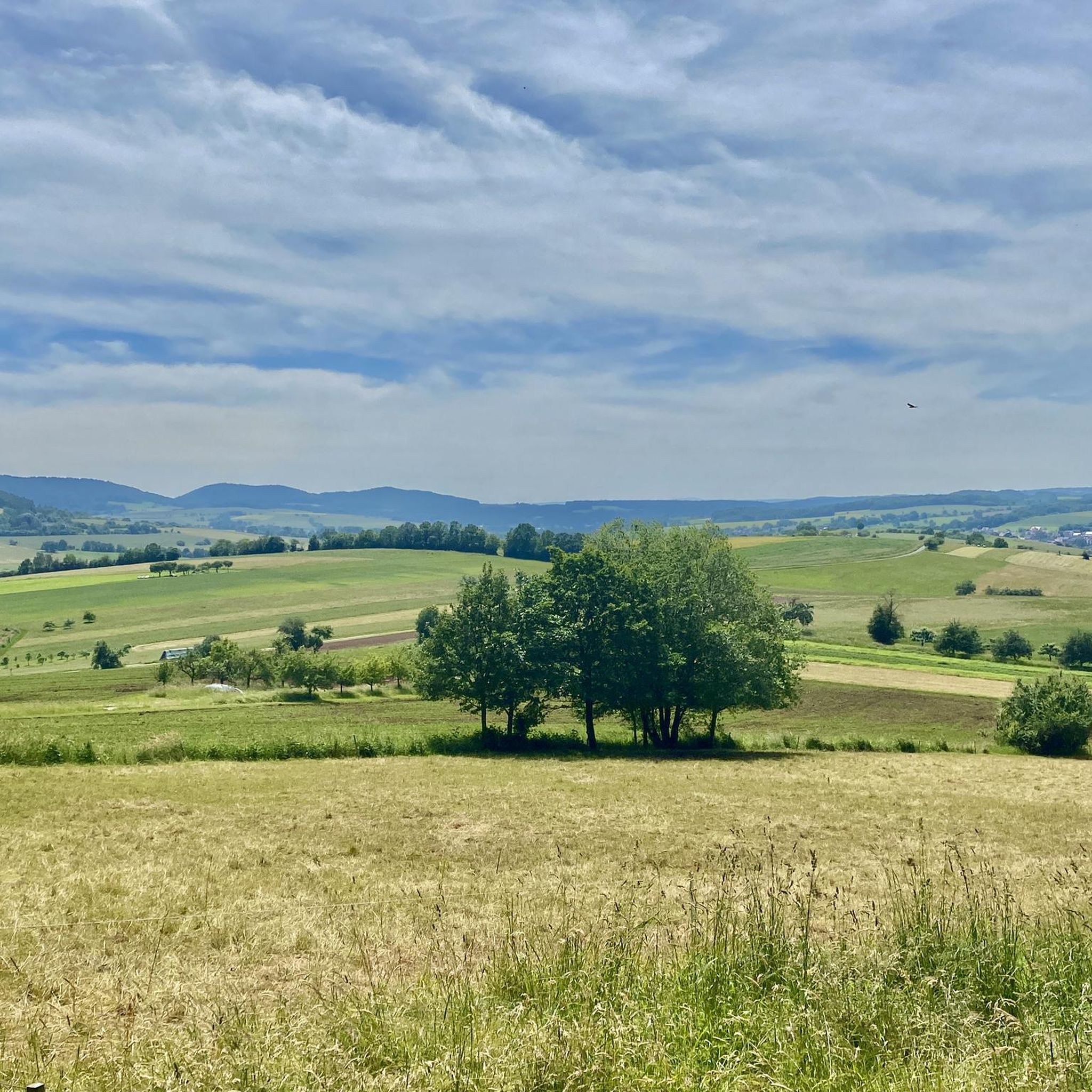
In any case, go up to the rock and enjoy the distant view from Beilstein!🤩 Playful trail.😊 Increasingly overgrown towards the end - "enchanted character"😉
5
1

A small sign, placed a little off to the side, still exists. As of today
12
0
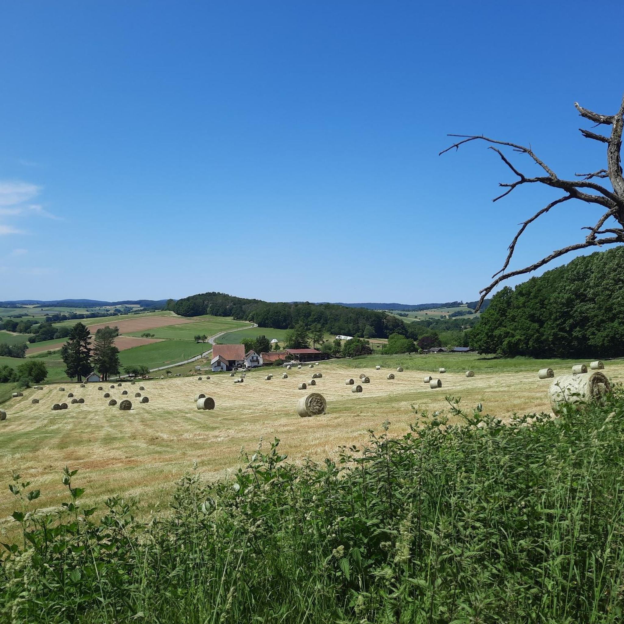
And yet quite easy to reach, pure nature included.
14
0

The good Horst is after all the highest elevation in the northern Spessart. Thanks to a path of forestry work, there is even a view to the east. Otherwise, in addition to two radio towers, there is one thing above all: peace!
5
0

The Beilstein is a mountain in the Spessart, 499.5 m above sea level (NHN). It lies east of the road from Bad Orb to Jossatal, between Villbach and Lettgenbrunn, within the municipality of Jossgrund in the Main-Kinzig district of Hesse. The Beilstein is a basalt cone with the largest basalt cave in the Main-Kinzig district. The formation originated 10 to 20 million years ago through volcanic eruptions; the surrounding Bunter sandstone, which otherwise characterizes the Spessart, is around 200 million years older. The basalt breakthrough was exposed by erosion; the rock faces show the typical basalt columns as well as smaller, spherical formations. On the mountain, first documented in 1059, are the remains of the small, high medieval hilltop castle Beilstein. It was built to protect the possessions of the Archbishopric of Mainz and to control an old road, and was first mentioned in 1343. Furthermore, it was intended to protect the first glassworks that were established. When the lordship passed to the Counts of Hanau, the castle presumably lost its importance and fell into ruin thereafter. Due to the scarce sources, little is known about the castle. Today, the complex consists only of a ring wall about 12 meters long. Source: Wikipedia
6
1

Very nice combo with the golf course trail and Don Bosco, so to speak the traily variant of the WAB towards Don Bosco. Very worthwhile dangling through the Beilstein (former castle) - it's worth walking around - continue on trails to Lettgenbrunn and again trailig from Lettgenbrunn back to the flow trail. You can also drive the other way around, but the circumnavigation is more suitable here. Be sure to climb the Beilstein - not for the view, but rather to get a feel for the facility.
5
0
Status 2023: slowly growing towards the end with blackberries.
6
0
Frequently Asked Questions
Where is the Huckelheimer Wald region located?
The Huckelheimer Wald is situated in the northern part of the Bavarian Spessart, within the municipalities of Kleinkahl and Westerngrund. It's known for its natural forested landscapes.
What are the highest mountain peaks in the Huckelheimer Wald?
The highest peak within the Huckelheimer Wald itself is the Hoher Querberg, reaching 473 meters. Other notable peaks include Lindenberg (465 meters), Menschenkopf (465 meters), Habersberg (428 meters), and Herzberg (427 meters).
What natural features can I explore in the Huckelheimer Wald?
The region offers diverse natural features, including extensive forested landscapes and unique geological formations. For instance, the southwestern slope of Hoher Querberg is home to the Arzborn, the source of the Querbach stream. You can also find unusual basalt rock formations along the Beilstein Trail.
Are there any historical sites or landmarks to visit?
Yes, the Huckelheimer Wald has a history of mining activities, and you can find historical sites. One such example is the Ringwork on the Reuschberg, which features an information board about a medieval fortification, offering a glimpse into the area's past.
What kind of hiking experiences can I expect in the Huckelheimer Wald?
The Huckelheimer Wald offers a variety of hiking experiences, from challenging trails to more accessible paths through pure nature. The Beilstein Trail is known for its challenging sections and unique geological features, while the path to Franzosenkopf (481 m) is described as a great trail through pure nature that is quite easy to reach.
Are there family-friendly options for exploring the mountain peaks?
Yes, the region offers family-friendly spots. The Horst Summit (541 m), for example, is considered family-friendly and provides a quiet natural setting with good viewpoints and a wooden bench for a break. The Hufeisen Forest Junction also serves as a central point for multiple trails and is a well-regarded break area with ample seating.
What outdoor activities can I do near the Huckelheimer Wald peaks?
Beyond hiking, the area around Huckelheimer Wald is excellent for cycling and mountain biking. You can find various routes for gravel biking, MTB trails, and general cycling, catering to different difficulty levels.
What do visitors enjoy most about the mountain peaks around Huckelheimer Wald?
Visitors appreciate the quiet natural settings and the opportunity to immerse themselves in the forested landscapes. Many enjoy the good viewpoints from summits like Horst Summit (541 m) and the diverse trails that lead through pure nature, such as those around Franzosenkopf (481 m). The well-equipped break areas, like the Hufeisen Forest Junction, are also highly valued.
Are there good viewpoints in the Huckelheimer Wald region?
Yes, several peaks and trails offer good viewpoints. Horst Summit (541 m) is noted for its good views, and many trails in the region lead to scenic spots where you can enjoy the natural beauty of the Spessart forest.
Is there a central point for trails and resting in the Huckelheimer Wald?
The Hufeisen Forest Junction serves as a central hub for multiple trails. It's a popular and well-regarded break area with ample seating, making it an ideal spot to rest and decide on your next path.
Most popular routes around Huckelheimer Wald
Most popular attractions around Huckelheimer Wald

Get inspired with the komoot mobile app


Explore more
See even more amazing summits around Huckelheimer Wald with these guides:
