The best walks and hikes around Blaenrheidol
4.5
(383)
3,472
hikers
23
hikes
Hikes around Blaenrheidol explore the uplands of the Cambrian Mountains in Ceredigion, Wales. The region's landscape is defined by the steep Rheidol Valley, large reservoirs like Nant y Moch, and open moorland. Trails range from riverside paths to challenging ascents of prominent peaks such as Pumlumon Fawr.
Best hiking trails around Blaenrheidol
- The most popular hiking route is the Devil's Bridge Falls – Devil's Bridge and Waterfalls loop from Devil's Bridge, a 1.4 mile (2.3 km) trail that takes…
Last updated: October 10, 2026
4.2
(5)
37
hikers
14.1km
04:30
590m
590m
Moderate hike. Good fitness required. Easily-accessible paths. Suitable for all skill levels.
4.5
(2)
14
hikers
11.8km
03:22
280m
280m
Moderate hike. Good fitness required. Easily-accessible paths. Suitable for all skill levels.

4.8
(13)
107
hikers
8.06km
02:33
330m
330m
Moderate hike. Good fitness required. Easily-accessible paths. Suitable for all skill levels.
2.5
(2)
8
hikers
17.7km
05:27
630m
630m
Hard hike. Very good fitness required. Easily-accessible paths. Suitable for all skill levels.
5.0
(2)
36
hikers
Moderate hike. Good fitness required. Easily-accessible paths. Suitable for all skill levels.
Get access to more routes and recommendations from other explorers.
Already have an account?
Our route recommendations are based on thousands of hikes, rides, and runs completed by other people on komoot.
Start today with a free account
Your next adventure awaits.
Popular around Blaenrheidol

O Fon i Fynwy — Exploring Wales on foot from top to bottom
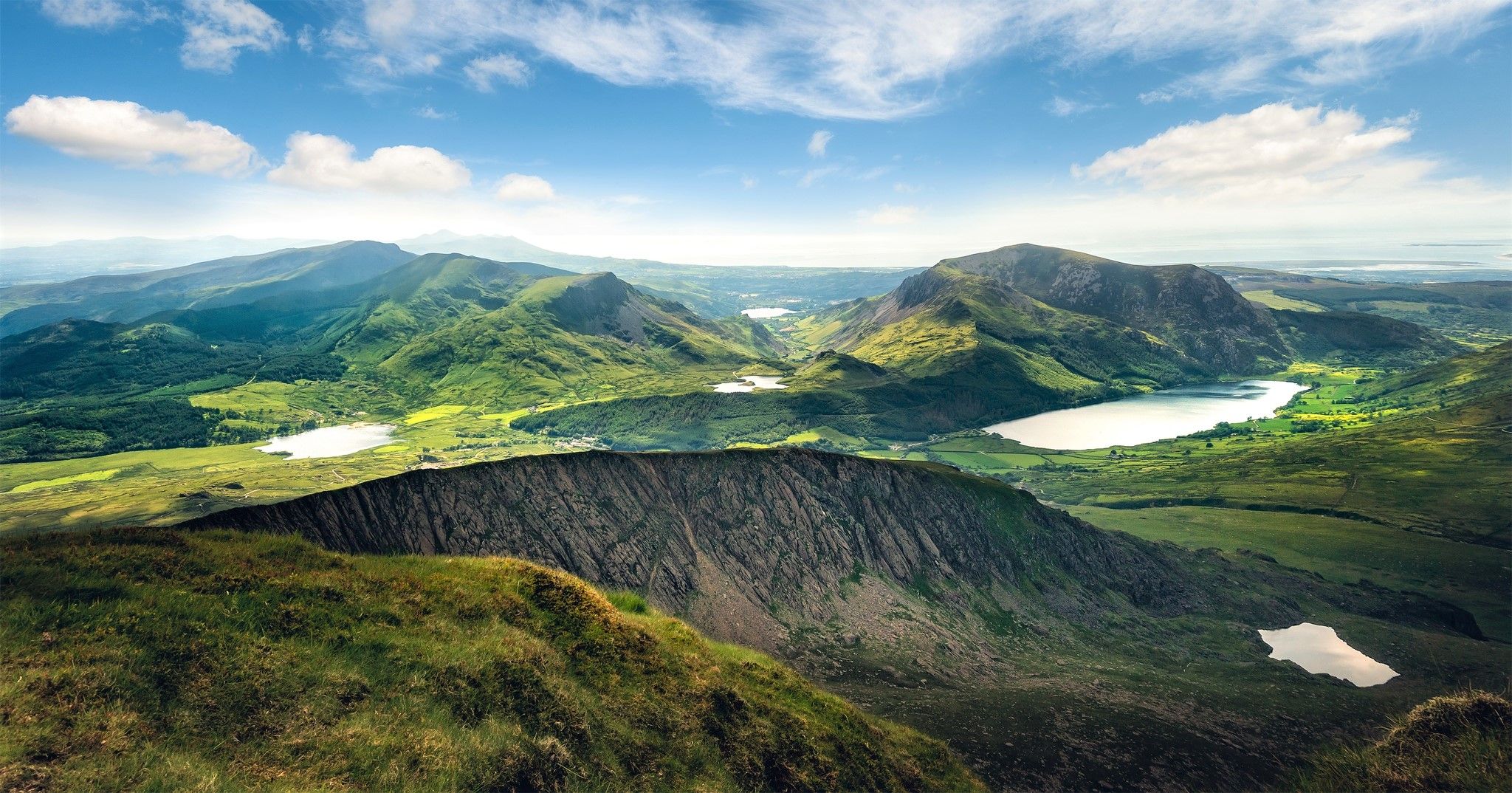
Cambrian Way — Hike the highest, wildest and most beautiful trail in Wales
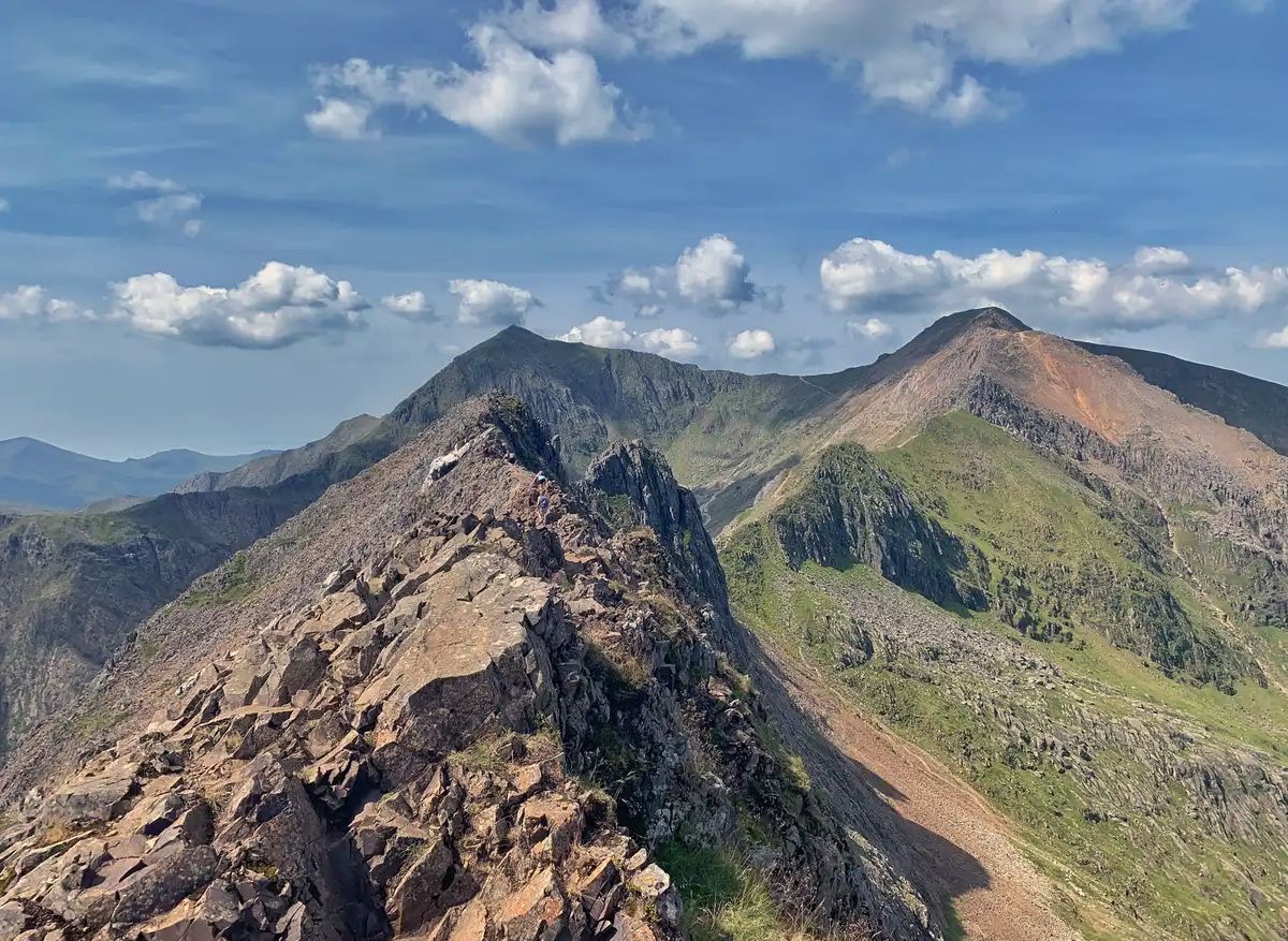
The Dragon's Back – running the spine of Wales
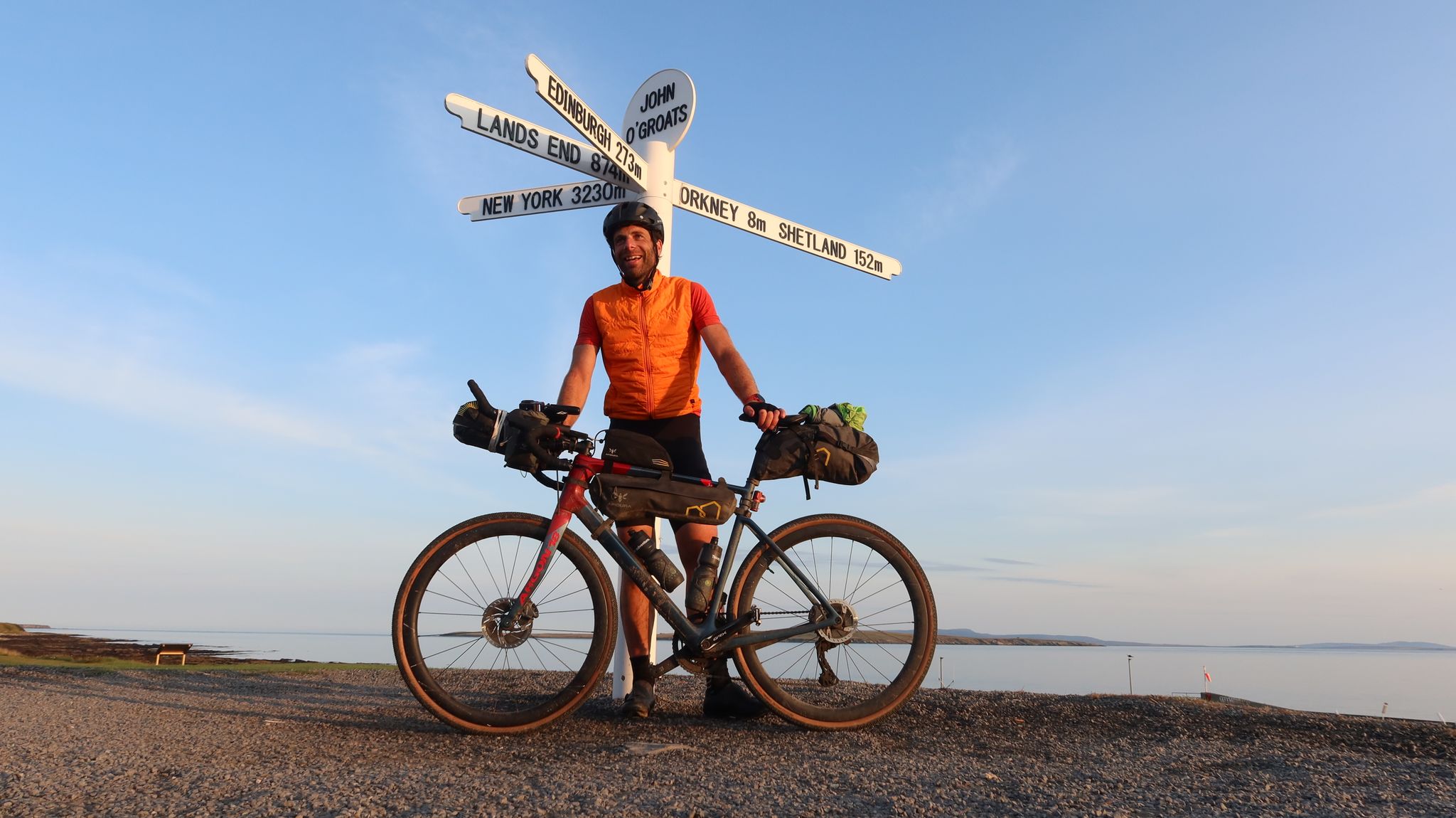
GBDURO 2021 — Gravel racing Land's End to John O'Groats
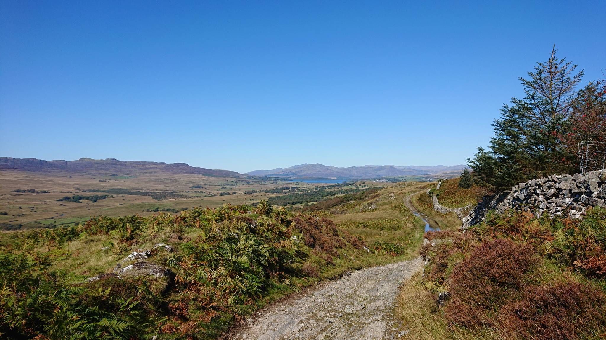
Sarn Helen — Ride in the footsteps of Romans across Wales
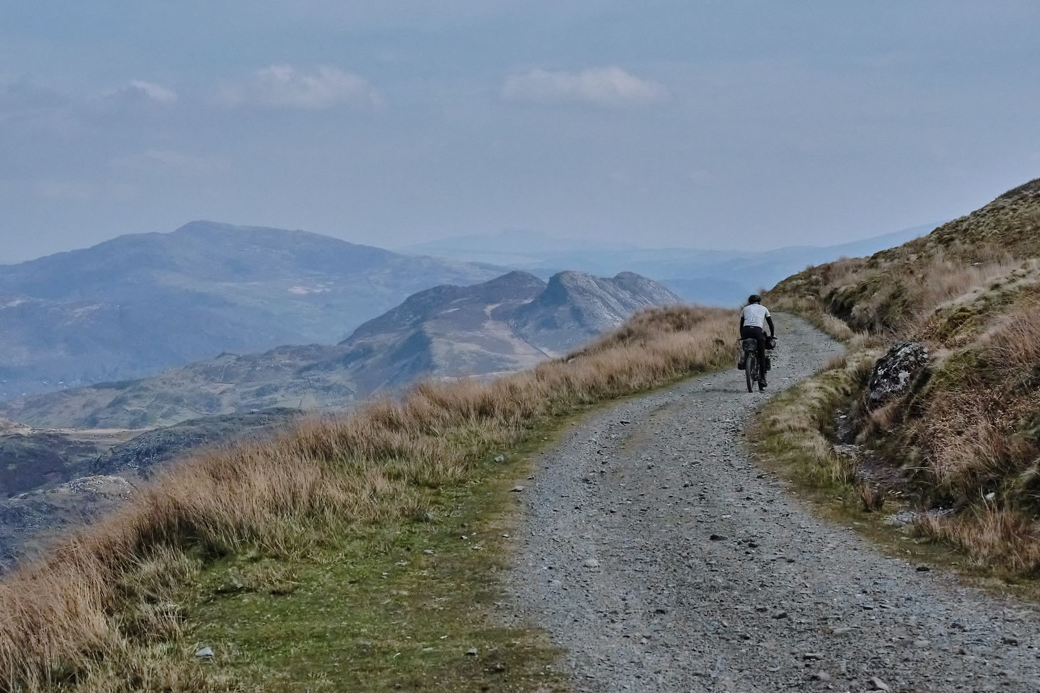
Bikepacking the length of Wales from Worms Head to Great Orme
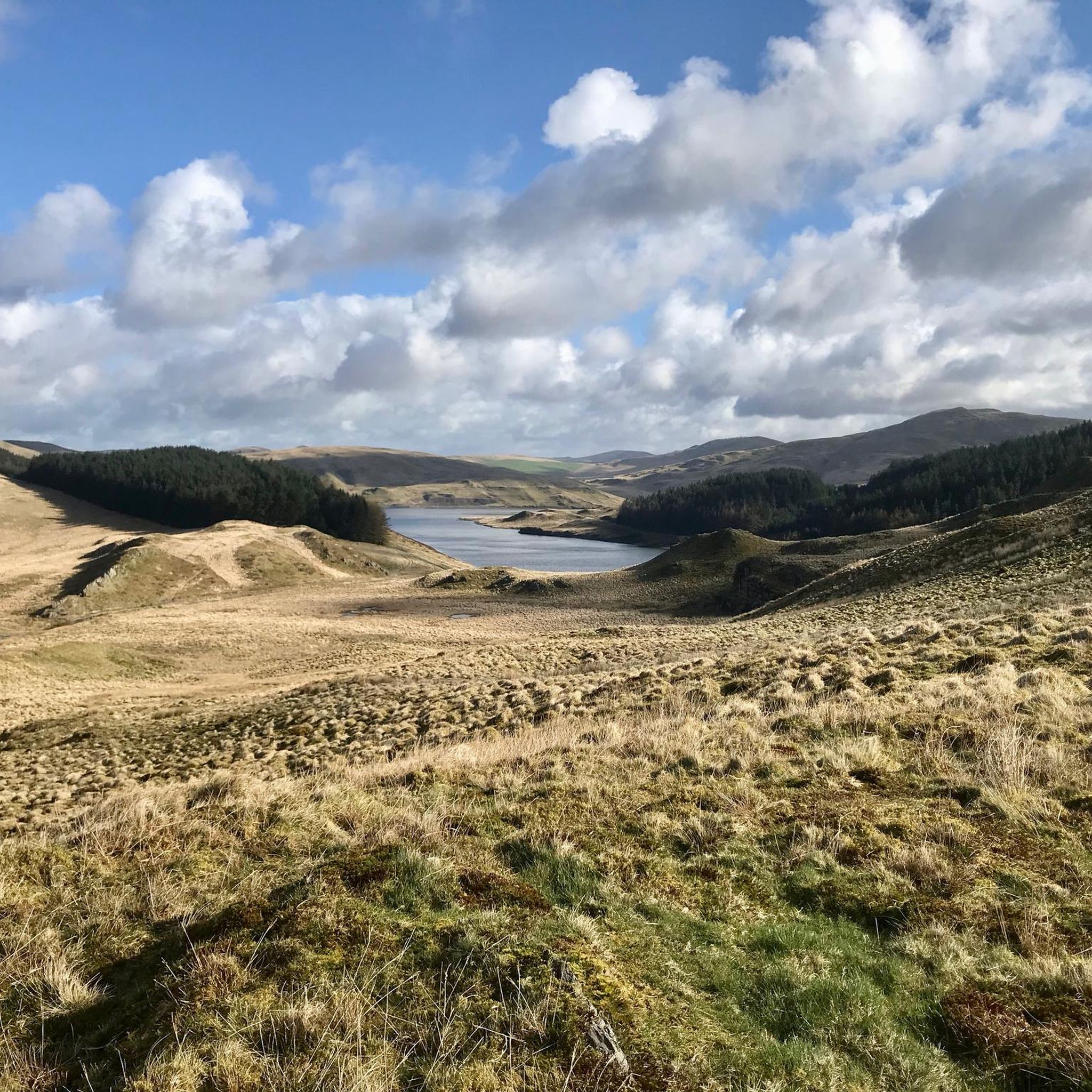
MTB Trails around Blaenrheidol
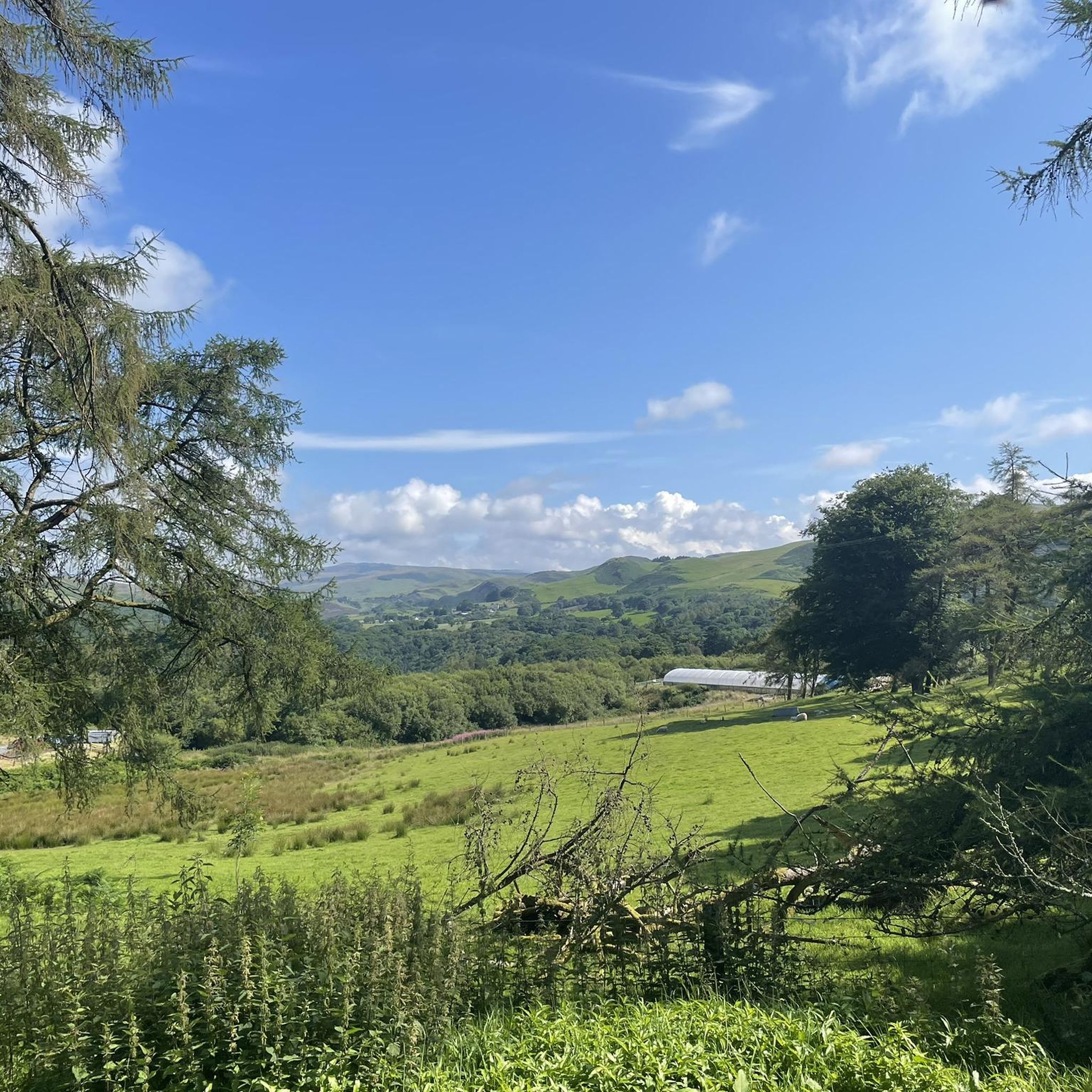
Road Cycling Routes around Blaenrheidol
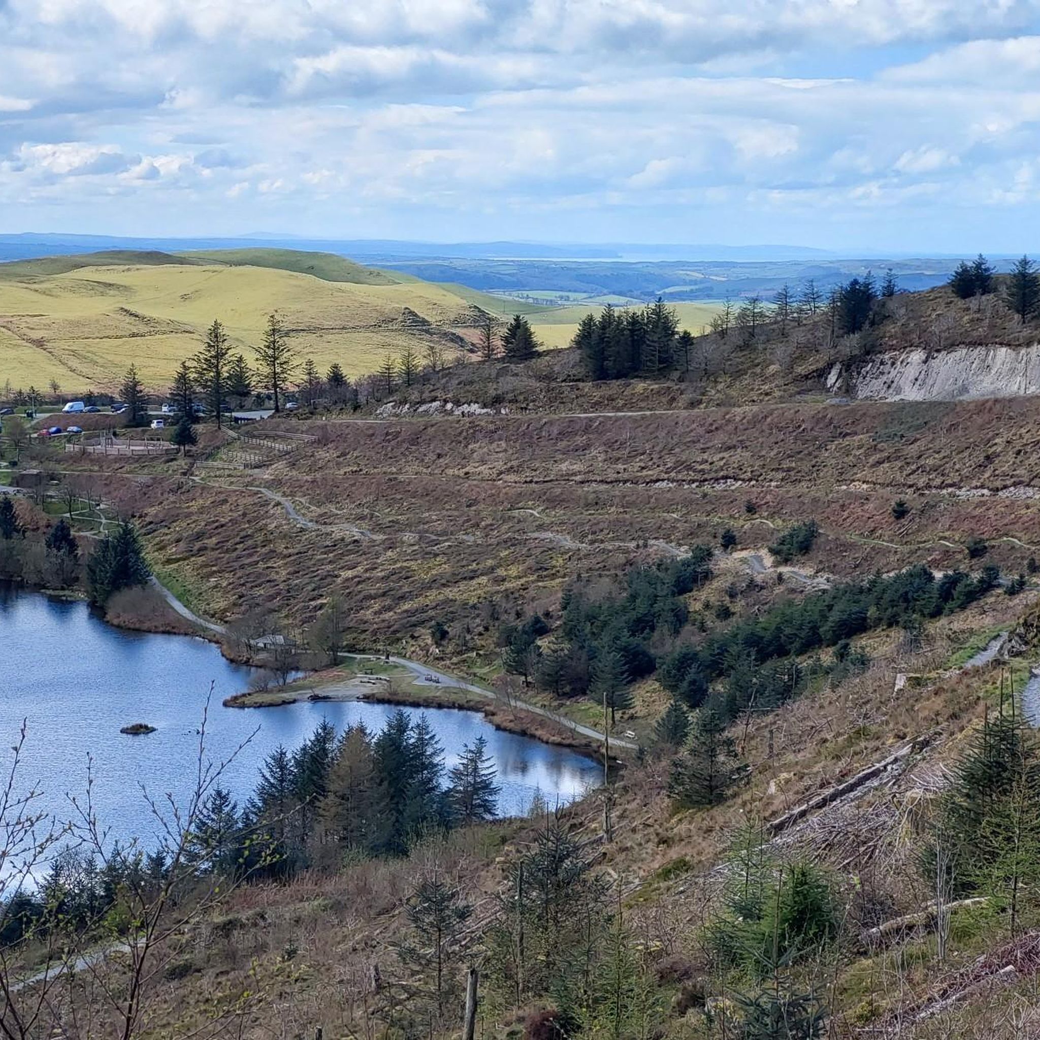
Running Trails around Blaenrheidol

Gravel biking around Blaenrheidol
Other adventures around Blaenrheidol


Tips from the Community

Nant y Moch Reservoir is a significant water reservoir located in the Cambrian Mountains of Wales, specifically in the county of Ceredigion. It was constructed in the late 20th century and is primarily used for water supply. The reservoir is situated near the village of Llanidloes and is part of the larger infrastructure managed by Welsh Water. The area surrounding Nant y Moch Reservoir is known for its natural beauty, featuring rolling hills, moorland, and diverse wildlife. It is a popular destination for outdoor activities such as walking, birdwatching, and fishing. The reservoir itself is also used for recreational purposes, and there are walking trails around its perimeter that offer stunning views of the water and the surrounding landscape. In terms of ecology, the reservoir and its surroundings support various plant and animal species, making it an important area for conservation as well as recreation. The combination of natural beauty and recreational opportunities makes Nant y Moch a valued spot in the Welsh countryside.
0
0
Pumlumon Fawr, often referred to simply as Pumlumon, is the highest peak in the Cambrian Mountains of Wales, standing at 2,468 feet (752 meters) above sea level. It is located in the county of Ceredigion and is part of a range known for its rugged terrain and scenic beauty. The name "Pumlumon" translates to "five peaks" in Welsh, which refers to the five summits that make up the mountain. The area is popular with hikers and outdoor enthusiasts, offering a variety of trails that provide stunning views of the surrounding countryside, including lakes, valleys, and other mountain ranges. Pumlumon is also notable for its rich biodiversity and unique ecosystems. The region supports various wildlife, including rare plant species and birds. Additionally, the mountain is a source of several rivers, contributing to the hydrology of the region. Whether for hiking, nature watching, or simply enjoying the landscape, Pumlumon Fawr is a significant and cherished feature of the Welsh landscape.
2
0
Pumlumon Fawr, often referred to simply as Pumlumon, is the highest peak in the Cambrian Mountains of Wales, standing at 2,468 feet (752 meters) above sea level. It is located in the county of Ceredigion and is part of a range known for its rugged terrain and scenic beauty. The name "Pumlumon" translates to "five peaks" in Welsh, which refers to the five summits that make up the mountain. The area is popular with hikers and outdoor enthusiasts, offering a variety of trails that provide stunning views of the surrounding countryside, including lakes, valleys, and other mountain ranges. Pumlumon is also notable for its rich biodiversity and unique ecosystems. The region supports various wildlife, including rare plant species and birds. Additionally, the mountain is a source of several rivers, contributing to the hydrology of the region. Whether for hiking, nature watching, or simply enjoying the landscape, Pumlumon Fawr is a significant and cherished feature of the Welsh landscape.
1
0

Nice climb up Pumlumon Fawr from this side.
1
0
Wonderful view with several lakes and to the sea.
2
1

Third highest summit in the Pumlumon range, Pen Pumlumon Llygad-bychan is perhaps most notable for its proximity to the source of the River Wye. To the north of the summit is the lovely pool of Llyn Llygad Rheidiol, while Pumlumon's principal summit is just a short walk along the Cambrian Way to the northeast. While the summit itself is not particularly distinguished and is known to be on the boggy side, it does offer lovely views across the Cambrian Mountains of Mid Wales.
1
0

The reservoir flooded part of the valley of the River Rheidol and its headwaters and is named after the Nant-y-moch stream (in English = the pigs stream), which formerly flowed into the River Rheidol at this spot. It's a great dark-sky spot if you're into astronomy / astro-photography.
2
0
Pen Pumlumon Llygad-Bychan (727m, a Hewitt & Nuttall) is the third highest summit on the Plynlimon massif. The summit is boggy and marked by a few stones. The source of the River Wye, is just South of the summit. The picturesque glacial lake of Llyn Llygad Rheidiol lies to the North.
2
0
Frequently Asked Questions
Are there any easy, family-friendly hikes in Blaenrheidol?
Yes, there are several options suitable for families. While many trails involve rugged terrain, you can find gentler paths, especially around the reservoirs and in the lower valleys. For a very popular and scenic option, consider the Devil's Bridge Falls – Devil's Bridge and Waterfalls loop from Devil's Bridge, but be aware it has many steep stone steps.
Can I take my dog on the trails around Blaenrheidol?
Many trails in the area are suitable for dogs, but the region is characterized by open moorland with grazing livestock. It is essential to keep your dog on a lead and under control, especially on upland paths. Forest and reservoir trails can be great options, but always check for local signage regarding canine access.
Are there any impressive waterfalls to see on a walk?
Absolutely. The region is famous for its waterfalls. The most well-known is Devil's Bridge, where the River Mynach drops 300 feet into a deep gorge. You can explore this highly-rated attraction via a circular nature trail with steep steps that take you deep into the wooded gorge for spectacular views.
What are some good circular hiking routes?
Blaenrheidol offers excellent circular hikes. For a challenging mountain experience with rewarding views, the Pumlumon (Plynlimon) loop — via Cambrian Way & Sir Chris Bonnington Trail is a great choice. It combines two named trails to create a comprehensive tour of the highest peak in the Cambrian Mountains.
How can I get to the trailheads using public transport?
Reaching trailheads by public transport can be challenging due to the area's remote nature. However, the historic Vale of Rheidol Railway runs from Aberystwyth to Devil's Bridge, providing scenic access to walks in that area. For other locations, bus services are limited, so planning your journey in advance is crucial.
Is there parking available for the main hiking trails?
Yes, parking is available at several key starting points. For hikes up Pumlumon Fawr, there is a car park at Eisteddfa Gurig. The popular Devil's Bridge Waterfalls attraction also has its own car park. For reservoir walks, you can often find parking near the dams, but spaces can be limited, especially on sunny weekends.
Are there any walks that explore the area's mining history?
Yes, the landscape is dotted with remnants of a historic lead mining industry. You can find walks that pass by old mine workings and ruins, particularly in the Rheidol Valley. Exploring these areas offers a fascinating glimpse into the region's industrial past alongside its natural beauty.
What is the terrain like for hiking in Blaenrheidol?
The terrain is very diverse. Expect everything from gentle riverside paths and reservoir shorelines to steep, rugged ascents in the mountains. Trails on the open moorland of the Cambrian Mountains, like those on Pumlumon Fawr, can be boggy and exposed, so waterproof hiking boots are essential. In contrast, valleys like Coed Rheidol offer sheltered woodland walking.
What do other hikers think of the trails in Blaenrheidol?
The trails around Blaenrheidol are highly regarded by the komoot community, with an average rating of 4.5 stars. Hikers often praise the sense of remote wilderness, the stunning panoramic views from the peaks, and the dramatic beauty of the river valleys and waterfalls.
How many hiking trails are there to choose from?
You can find over 20 designated hiking routes around Blaenrheidol on komoot. These range from short, easy walks under an hour to challenging full-day mountain expeditions, offering plenty of options for all fitness and experience levels.
Are there any challenging, long-distance hikes for experienced walkers?
Yes, the area is excellent for experienced hikers seeking a challenge. For a demanding route, consider the 11-mile Pumlumon Fawr summit loop from Eisteddfa Gurig. This long circuit involves significant elevation gain and crosses remote, exposed terrain, offering a true mountain adventure.
Where can I find official information on the Pumlumon trails?
For detailed official information, including trail maps and heritage information for the various routes on the Pumlumon massif, you can visit the Ceredigion County Council's dedicated page. You can find it here: Pumlumon Trails.
Most popular attractions around Blaenrheidol

Get inspired with the komoot mobile app


Explore more
Browse the best Hikes in other regions.
