The best road cycling routes around Yscir
4.8
(26)
1,650
riders
89
rides
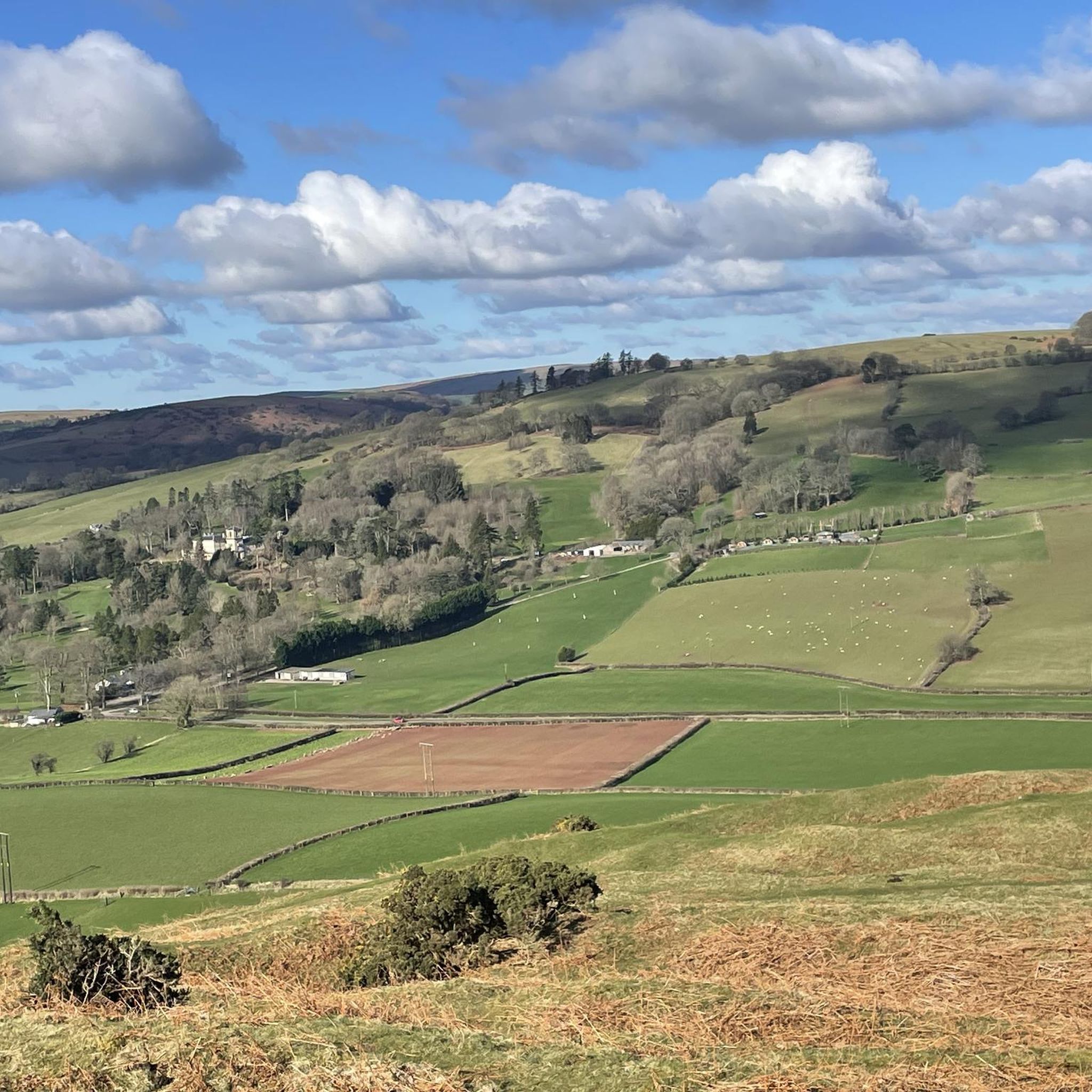
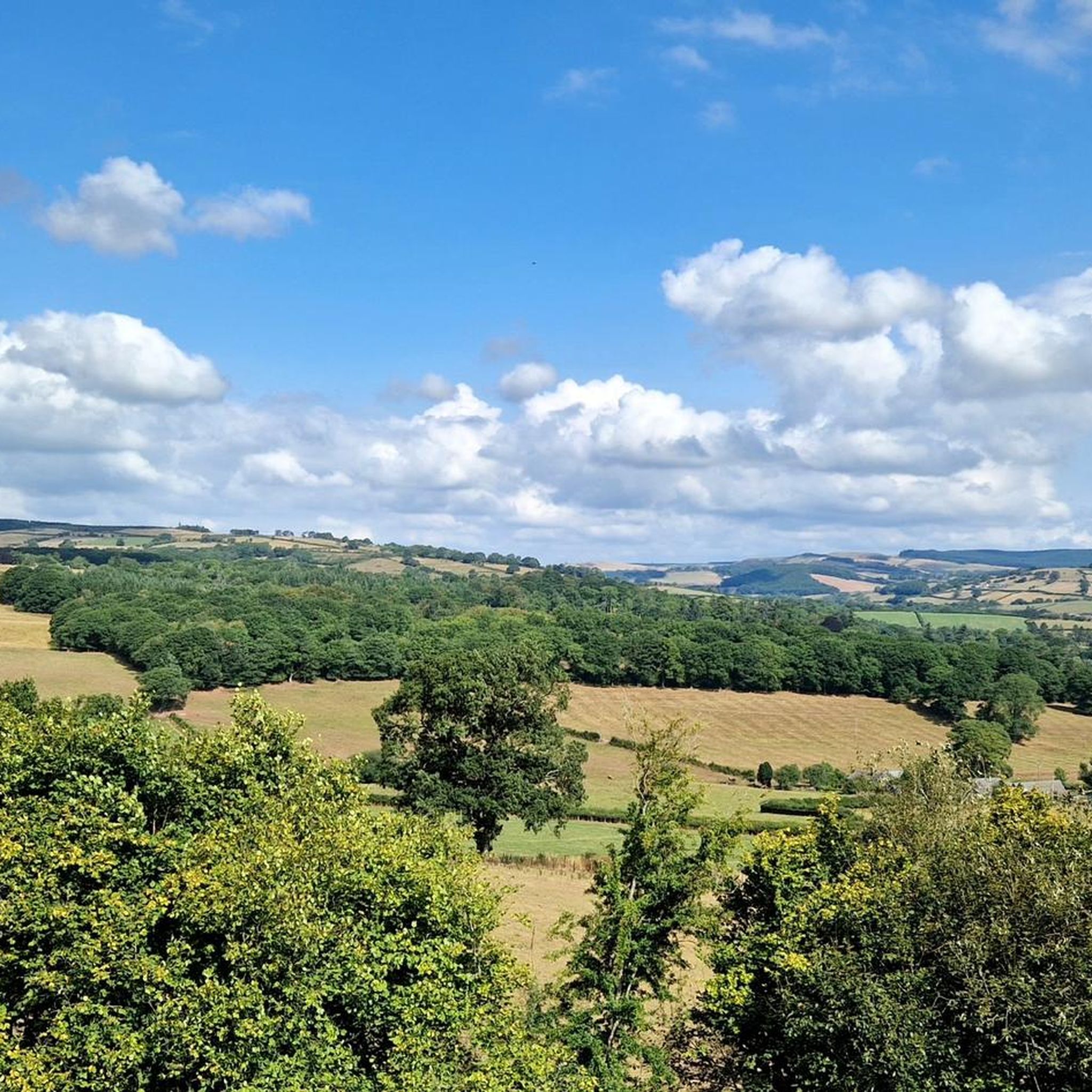
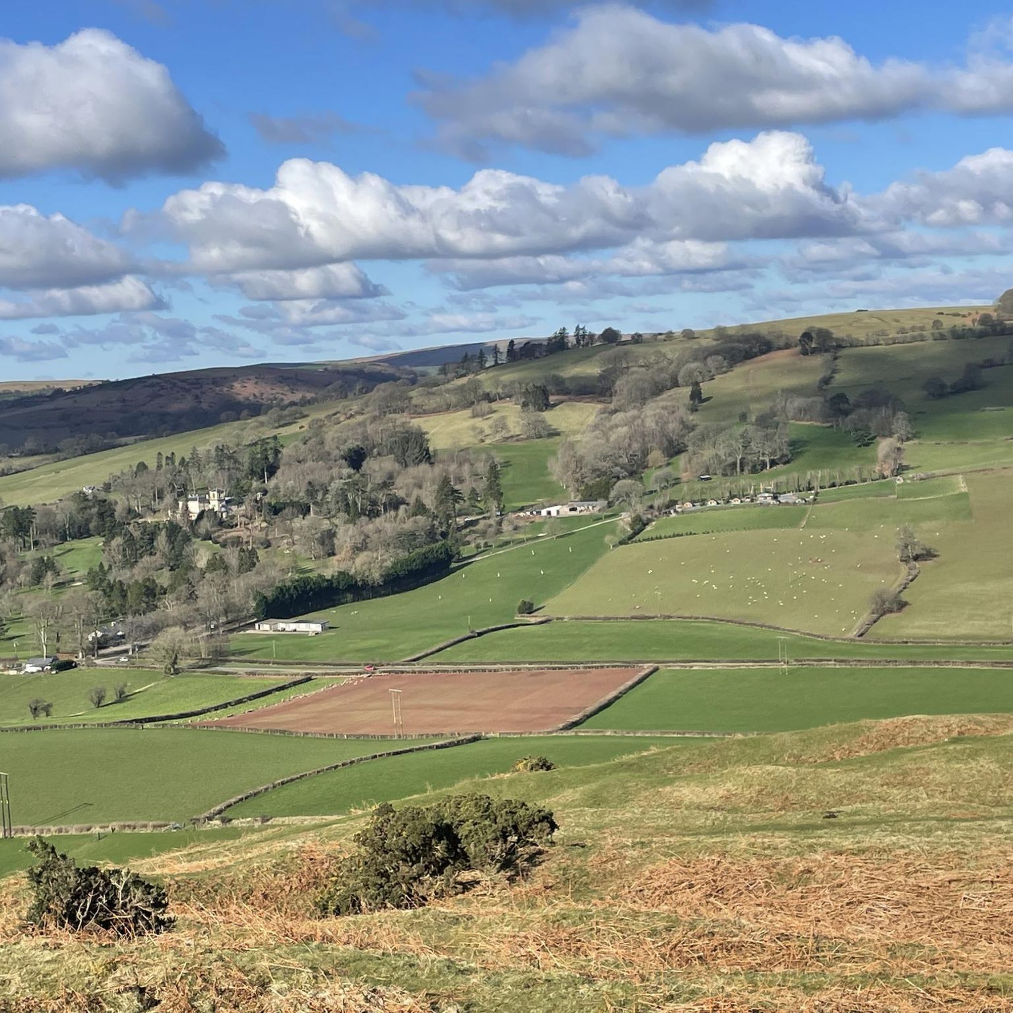
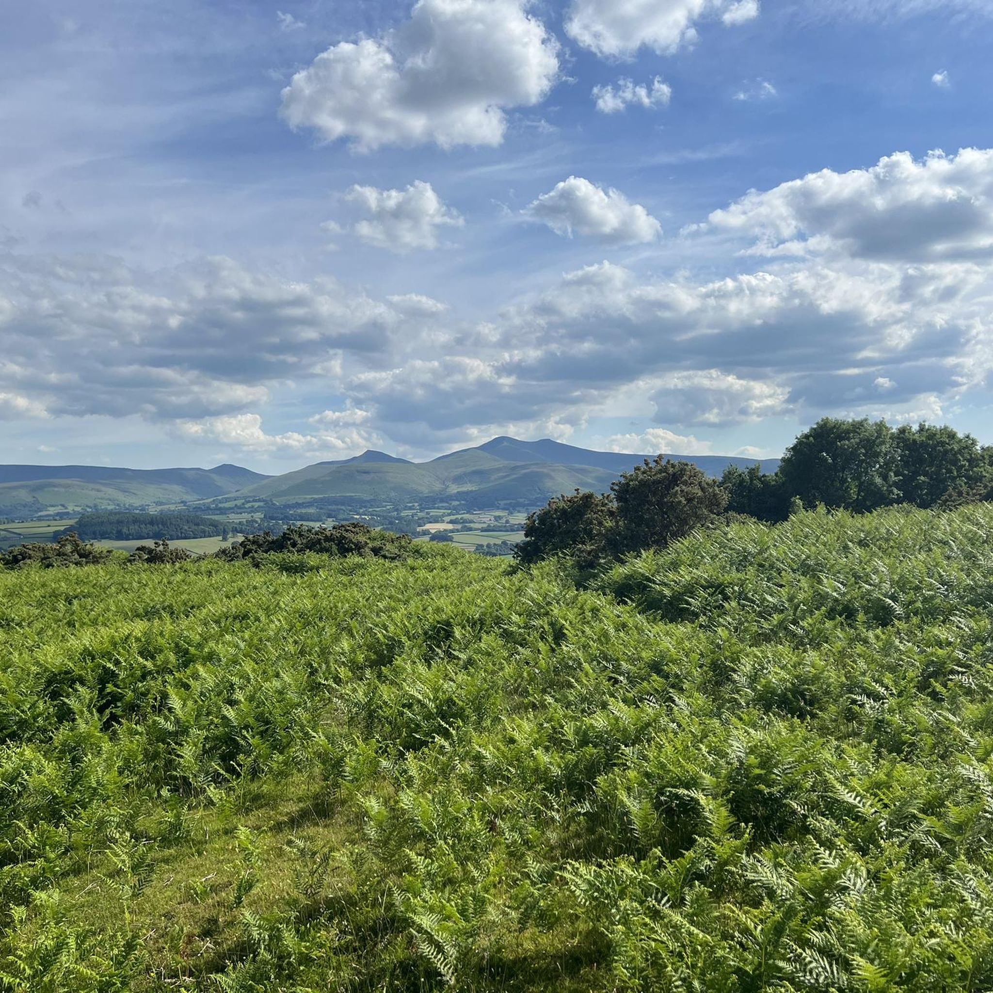
Road cycling routes around Yscir are situated within the vicinity of the Bannau Brycheiniog National Park (Brecon Beacons), offering a diverse landscape for cyclists. The region features rolling hills, ancient moorlands, and river valleys such as the Nant Brân and Afon Ysgir. Cyclists can expect a mix of undulating roads, significant ascents, and descents across varied terrains.
Best road cycling routes around Yscir
- The most popular road cycling route is Devil's Elbow loop from Brecon, a 44.9 miles (72.4…
Last updated: July 6, 2026
5.0
(1)
31
riders
72.4km
04:01
1,130m
1,130m
Prepare for a challenging road cycling adventure on the Devil's Elbow loop from Brecon. This difficult 45.0-mile (72.4 km) route takes you through the stunning Bannau Brycheiniog National Park, offering…
120
riders
71.7km
03:05
580m
580m
Moderate road ride. Good fitness required. Mostly well-paved surfaces and easy to ride.

Sign up for free
4.5
(2)
62
riders
54.8km
02:50
810m
810m
Moderate road ride. Good fitness required. Mostly well-paved surfaces and easy to ride.
54
riders
127km
06:50
1,960m
1,960m
Hard road ride. Very good fitness required. Some segments of this route may be unpaved and difficult to ride.
29
riders
101km
04:34
1,030m
1,030m
Hard road ride. Very good fitness required. Mostly well-paved surfaces and easy to ride.
Get access to more routes and recommendations from other explorers.
Sign up for free
Already have an account?
Our route recommendations are based on thousands of hikes, rides, and runs completed by other people on komoot.
Start today with a free account
Your next adventure awaits.
Login or Signup

Tips from the Community

Very nice bridge not for traffic though as it’s a single lane track with passing gaps for pedestrians.
0
0

This is a cracking bike stop, not far from the beautiful river bridge in the lower part of the village. There is seating at the rear of the cafe and some more at the front. You can keep your eye on your bikes at either location. Super coffee, and super sticky cakes too. There is also a shop there if you’re a multi day tourer.
1
0

If riding across bridge into Crick, take the first right hand road (next to the pub) to avoid traffic going up the hill and into town. It also takes you straight tup to the high st.
0
0

Handy place to stop for refreshments in either direction
0
0
evidence of railway platforms and steps to the platforms still exist
0
0

An epic ride to climb one of the most scenic vistas in the Southeast Valleys of Wales. ... This route is brutal. It's long. It's hard. It can break your soul.
0
0
Starting in the outskirts of Rhigos, this climb takes you past former mining areas and up to the top of Hirwaun Common. The climb passes the fomer Tower Colliery – which used to be the oldest working deep coal mine in the UK but closed in 2008. The climb gives both a feeling of industrial heritage but later the sweeping views of the Hirwaun Common. The first few km are fairly straight but near the summit, there are two switchback hairpins which add an alpine feel to this long-steady climb.
0
0
Frequently Asked Questions
What kind of terrain can I expect when road cycling near Yscir?
Road cycling around Yscir, situated near the Bannau Brycheiniog National Park (Brecon Beacons), offers a diverse landscape. You'll encounter rolling hills, ancient moorlands, and scenic river valleys like the Nant Brân and Afon Ysgir. Routes feature a mix of undulating roads, significant ascents, and thrilling descents, providing varied challenges and views.
How many road cycling routes are available around Yscir?
There are over 90 road cycling routes available around Yscir, catering to various skill levels. This includes 15 easy routes, 46 moderate routes, and 29 difficult routes, ensuring options for every cyclist.
Are there any challenging road cycling routes for experienced riders?
Yes, Yscir offers several challenging routes. For instance, the Devil's Elbow loop from Brecon is a difficult 44.9-mile (72.4 km) trail featuring significant ascents. Another demanding option is the Beacons Reservoir – Rhigos Climb Viewpoint loop from Brecon, which spans 79 miles (127.2 km) with nearly 2000 meters of elevation gain.
What are some scenic landmarks or attractions I can see along the road cycling routes?
Many routes offer stunning views and pass by notable landmarks. You might catch glimpses of iconic peaks like Pen y Fan and Corn Du summit. The area also features the Brecon Canal Basin, Brecon Cathedral, and prehistoric monuments such as Aberyscir Round Cairn. The Penderyn Moor Climb – Beacons Reservoir loop from Brecon, for example, offers beautiful reservoir views.
What do other road cyclists enjoy most about cycling in Yscir?
The road cycling routes around Yscir are highly rated by the komoot community, with an average score of 4.8 stars from over 20 reviews. Cyclists often praise the diverse terrain, from rolling hills to challenging ascents, and the stunning natural beauty of the Bannau Brycheiniog National Park.
Are there any circular road cycling routes available?
Yes, many of the road cycling routes around Yscir are circular, allowing you to start and end at the same point. Examples include the Devil's Elbow loop from Brecon and the Talybont Stone Bridge – Crickhowell Bridge loop from Brecon, both designed as loops for convenience.
What is the best time of year for road biking in Yscir?
The best time for road biking in Yscir is generally from spring through autumn when the weather is milder and more predictable. Summer offers longer daylight hours, while spring and autumn provide beautiful scenery with fewer crowds. Winter cycling is possible but requires careful attention to weather conditions, as some higher elevation roads may be affected by ice or snow.
Are there options for family-friendly road cycling near Yscir?
While many routes feature significant ascents, there are easier options available. With 15 easy routes, families can find less challenging roads, particularly in the river valleys, though direct dedicated family cycling paths are less common for road biking in this mountainous region. Always check route profiles for elevation and traffic levels to ensure suitability.
Where can I find parking for road cycling routes in Yscir?
As Yscir is close to Brecon, many routes start from or near the town. Parking facilities are typically available in Brecon and other nearby villages within the Bannau Brycheiniog National Park. It's advisable to check specific starting points for routes for detailed parking information.
Can I access road cycling routes near Yscir using public transport?
Public transport options in the Bannau Brycheiniog National Park area, including near Yscir, are available but can be limited. Buses connect Brecon to some surrounding areas. For long-distance cycling, you might consider services that allow bikes, but it's best to research specific bus routes and their bike policies in advance. Planning your route to start and end near a public transport hub will be beneficial.
Are there any cafes or pubs along the road cycling routes for refreshment stops?
Yes, many road cycling routes in the Brecon Beacons area, including those near Yscir, pass through or close to villages and towns like Brecon and Crickhowell, where you can find cafes, pubs, and other amenities for refreshment stops. Planning your route with these stops in mind can enhance your cycling experience.
Are there any long-distance road cycling routes that pass through or near Yscir?
The broader Powys area, where Yscir is located, is known for long-distance cycling. While specific routes directly through Yscir may vary, the region is part of a network that includes spectacular views and substantial climbs. For more information on long-distance routes in Wales, you can consult Visit Wales' guide to top long-distance bike rides.
Most popular routes around Yscir
Most popular attractions around Yscir

Get inspired with the komoot mobile app


Explore more
Browse the best Road cycling routes in other regions.
