The best running trails around Llangunllo
60
runners
18
runs
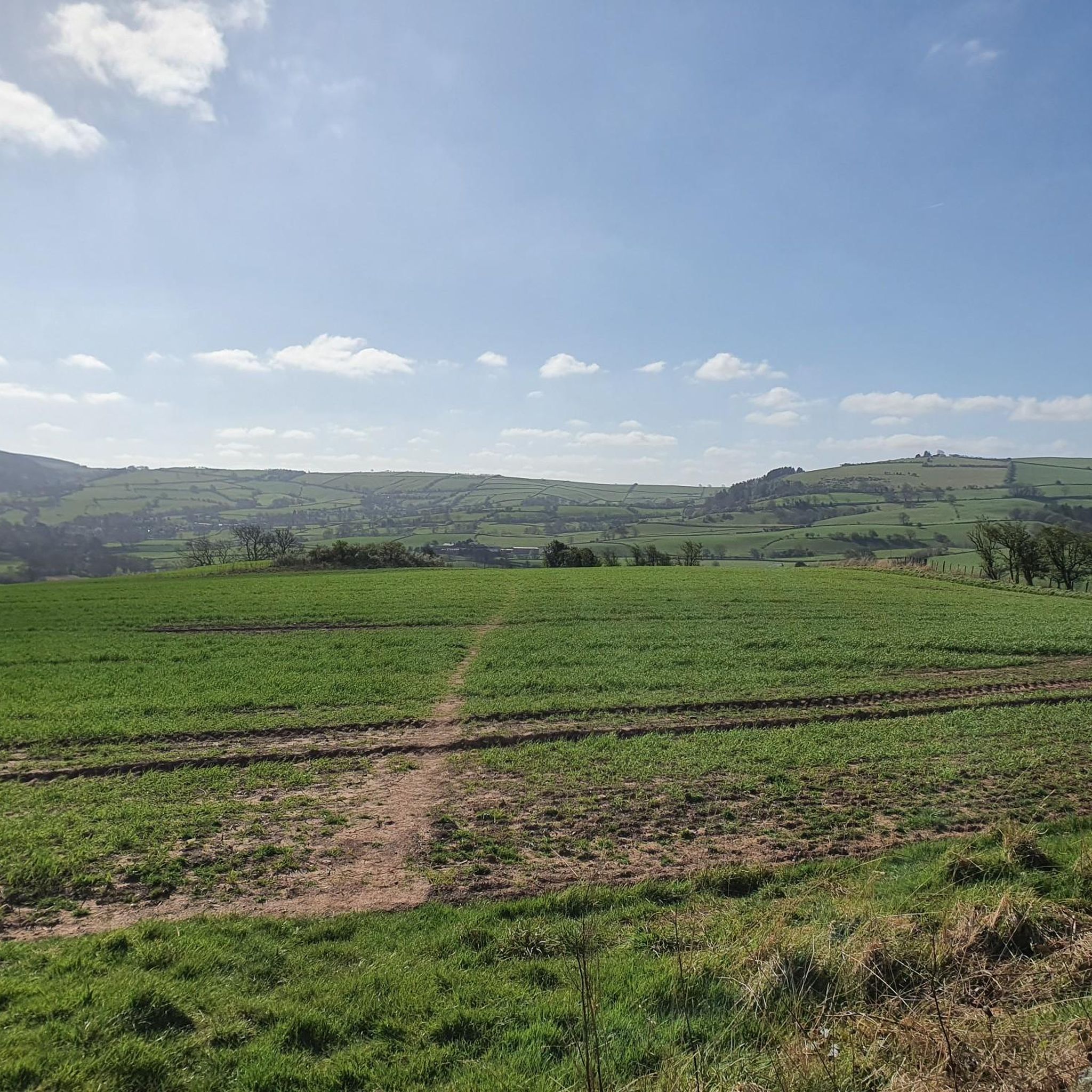
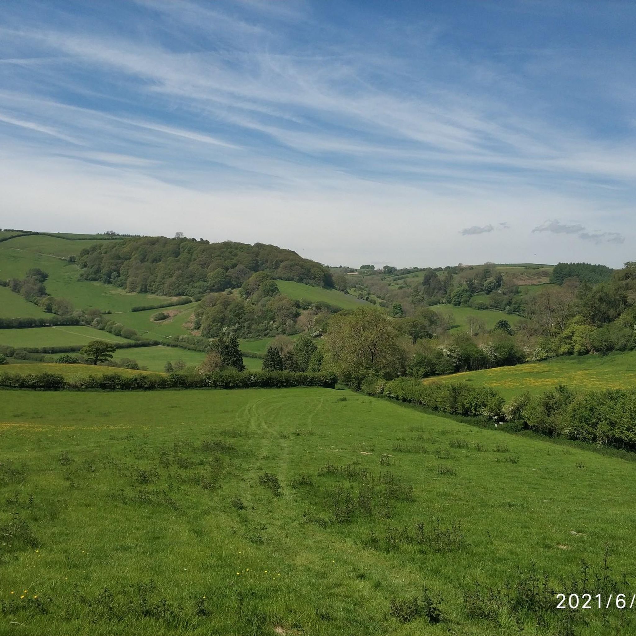
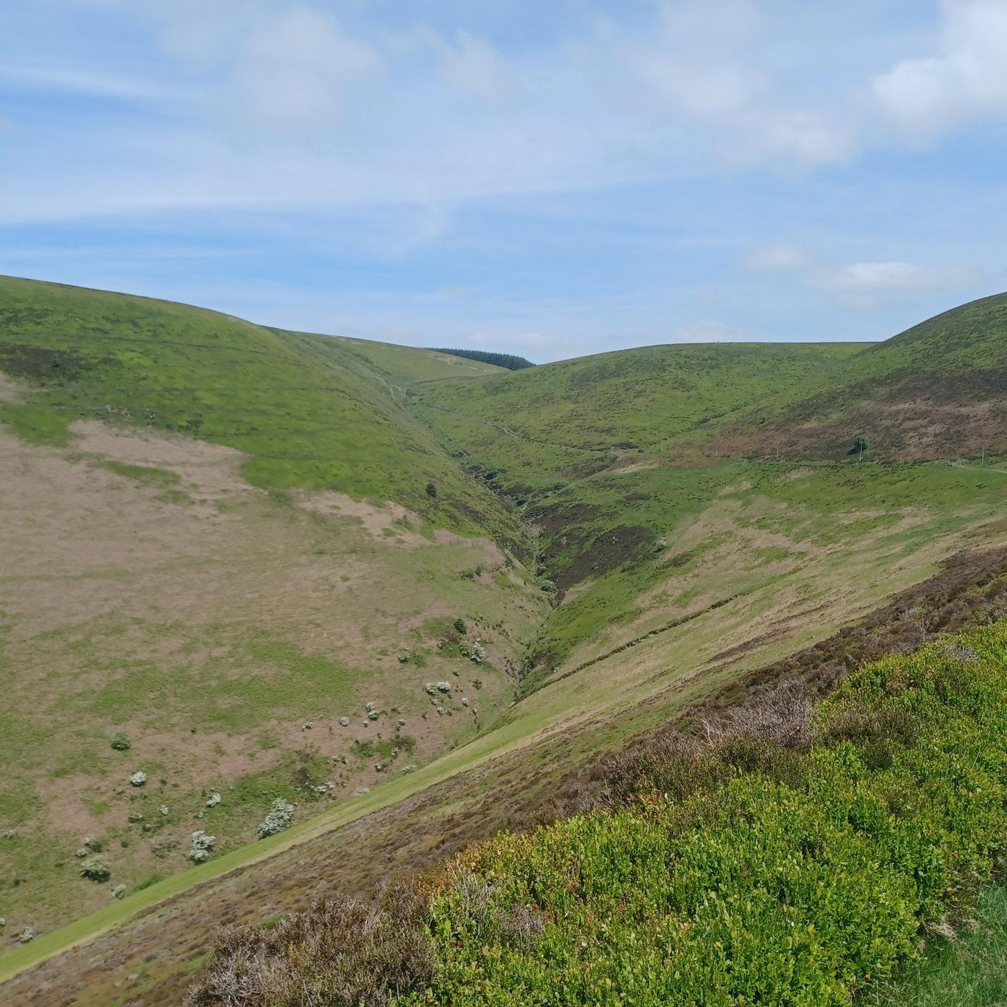
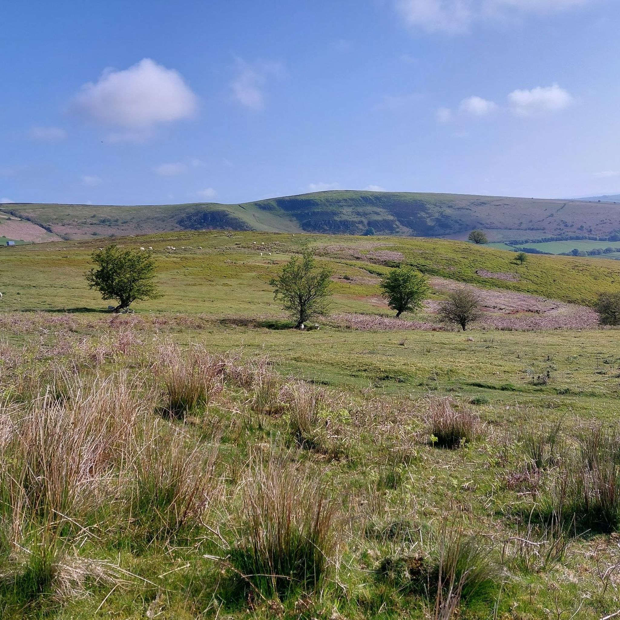
Jogging routes around Llangunllo traverse a landscape characterized by rolling hills, woodlands, and open countryside. The region features varied terrain, including paths through Kinsley Wood and ascents to points like Cwm-Sanaham Hill and Black Mixen Summit. Running trails often follow the Wales–England border, offering diverse views. The area provides a range of running experiences, from gentle loops to more challenging hill climbs.
Best jogging routes around Llangunllo
- The most popular jogging route is Kinsley Wood – Cwm-Sanaham Hill Trig Point…
Last updated: October 9, 2026
10
runners
9.50km
01:16
260m
260m
Moderate run. Good fitness required. Mostly paved surfaces. Suitable for all skill levels.
6
runners
10.2km
01:04
130m
130m
Moderate run. Good fitness required. Mostly paved surfaces. Suitable for all skill levels.

8
runners
17.9km
02:21
450m
450m
Hard run. Very good fitness required. Mostly paved surfaces. Suitable for all skill levels.
3
runners
9.67km
01:01
60m
60m
Moderate run. Good fitness required. Mostly paved surfaces. Suitable for all skill levels.
6
runners
11.1km
01:17
300m
300m
Moderate run. Good fitness required. Mostly paved surfaces. Suitable for all skill levels.
Get access to more routes and recommendations from other explorers.
Already have an account?
Our route recommendations are based on thousands of hikes, rides, and runs completed by other people on komoot.
Start today with a free account
Your next adventure awaits.

Tips from the Community

Think you'll find it's the River Lugg! River bank by Bridge House just rebuilt early 2026
0
0

This is the start point of the Glyndŵr's Way National Trail which winds through mid-Wales and ends at Welshpool. It's not as popular a trail as Offa's Dyke which is the main reason you'll meet other hikers here in Knighton.
1
0

Knighton is a beautiful border market town and is unique in being the only town to sit astride Offa's Dyke national footpath. It is also notable as the starting point of Glyndwr's Way, following the route of the Welsh leader's significant battles. It is also a mecca for border cyclists and there are plenty of routes to navigate the surrounding hills and stunning countryside.
1
0

Cwm-Sanaham is an elevated hilltop located near Knighton in Shropshire. From this vantage point, you can enjoy wonderful panoramic views of the surrounding countryside across rolling hills, meandering streams and picturesque landscapes.
2
0

An opportunity to get overwhelmed by huge amounts of info about Offa's Dyke. And go to the toilet before you set off!
0
0

Located close to the Anglo-Welsh border and skirted by Offa's Dyke, this enchanting wooded hill is dominated by larch and Douglas fir, planted in the 1950s to replenish timber stores in Britain after WWII. There's a wealth of trails and forest roads to explore on foot. It's an enjoyable place to visit at any time of year, but in the autumn the initials 'ER' appear on the wooded slopes, an arrangement planted in 1953 to celebrate Queen Elizabeth's coronation.
1
0

Great stop for cyclists, good coffee, cake and lunchtime light meals. Massive selection of teas. Interesting items for sale
0
0
Black Mixen is a subsidiary summit of Rhos Fawr or Great Rhos in the Radnor Forest. The summit is large peat bog plateau. The summit is marked with a cairn, and is next to a radio transmitter and its building. Black Mixen is the only UK registered Nuttall to have a communications mast on its summit.
3
0
Frequently Asked Questions
How many running routes are available around Llangunllo?
There are over 20 running routes documented on komoot for the Llangunllo area, catering to various fitness levels. You'll find a mix of easy, moderate, and challenging trails through the region's diverse landscape.
Are there any easy or beginner-friendly running routes in Llangunllo?
Yes, Llangunllo offers some gentle options perfect for beginners. For an easier run, consider the Llanfair Waterdine loop from Llanfair Waterdine, which is 3.0 miles (4.8 km) and features village surroundings and gentle terrain.
What kind of terrain can I expect on the running trails in Llangunllo?
The running trails around Llangunllo traverse a varied landscape of rolling hills, dense woodlands, and open countryside. Many paths follow the historic Wales–England border, offering diverse views and a mix of surfaces from forest tracks to more open, grassy sections.
Are there any circular running routes in the Llangunllo area?
Many of the running routes in Llangunllo are circular, allowing you to start and finish in the same location. A popular moderate loop is the Kinsley Wood – Cwm-Sanaham Hill Trig Point loop from Knighton, which covers 5.9 miles (9.5 km) and includes woodland paths and scenic views.
What are some scenic viewpoints or landmarks I can see while jogging in Llangunllo?
Several routes offer excellent views and pass by interesting landmarks. You can reach the Cwm-Sanaham Hill Trig Point for expansive vistas, or explore trails near the Knighton Clock Tower. Some paths also follow sections of the Remains of Offa’s Dyke.
Are there any challenging running routes for experienced runners?
Yes, Llangunllo offers several difficult routes for those seeking a challenge. The Black Mixen Summit loop from Ednol Wood is a demanding 17.9 km (11.1 miles) trail with significant elevation gain, leading to the summit. Another long and challenging option is the Rhiw Pool – Black Mixen loop from Bleddfa, spanning over 26 km (16 miles).
What do other runners enjoy most about the trails in Llangunllo?
Runners frequently praise the varied terrain, from quiet woodlands to open hillsides, and the sense of tranquility found on the trails. The routes along the Wales–England border are particularly popular for their unique historical context and diverse scenery.
Are the running routes in Llangunllo suitable for families?
While some routes involve challenging ascents, there are easier options that families can enjoy. The shorter, less strenuous loops, like the one around Llanfair Waterdine, are generally more suitable for families looking for a gentle jog or walk.
Is public transport available to access the running routes?
Access to some trailheads, particularly those starting from towns like Knighton, may be possible via local bus services. However, for many of the more remote routes in the Llangunllo area, personal transport is often recommended for convenience.
What is the best time of year to go running in Llangunllo?
Spring and autumn generally offer the most pleasant conditions for running in Llangunllo, with milder temperatures and beautiful seasonal foliage. Summer can be warm, while winter runs may require appropriate gear for potentially muddy or icy conditions on higher ground.
Are there any routes that explore the Wales–England border?
Absolutely. The region is known for its proximity to the border. A notable route that explores this area is the Wales–England Border – Knighton Clock Tower loop from Knighton, a moderate 6.9 miles (11.1 km) path that offers views of Knighton and the border region.
Most popular attractions around Llangunllo

Get inspired with the komoot mobile app


Explore more
Browse the best Running Trails & Routes in other regions.
