The best walks and hikes around Llangedwyn
4.5
(180)
1,478
hikers
59
hikes
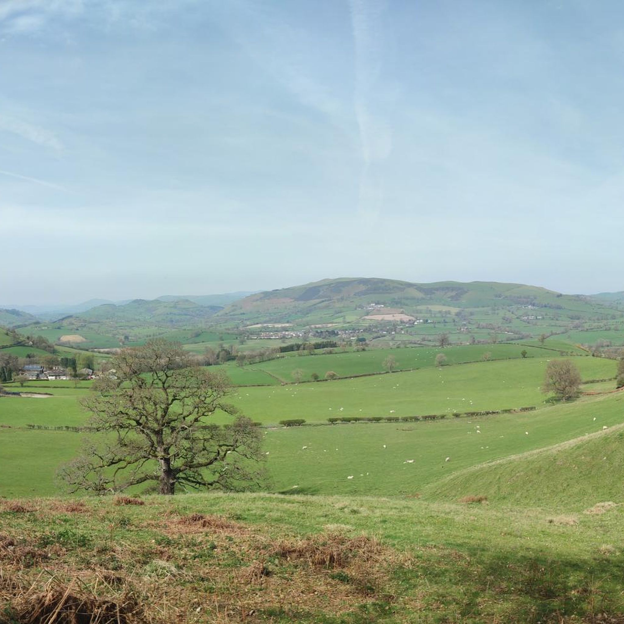
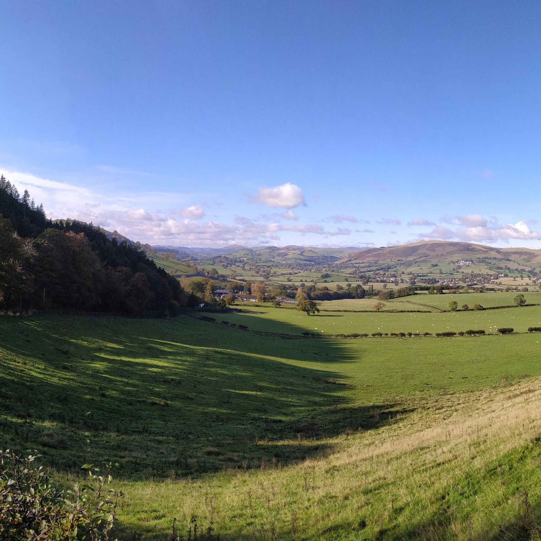
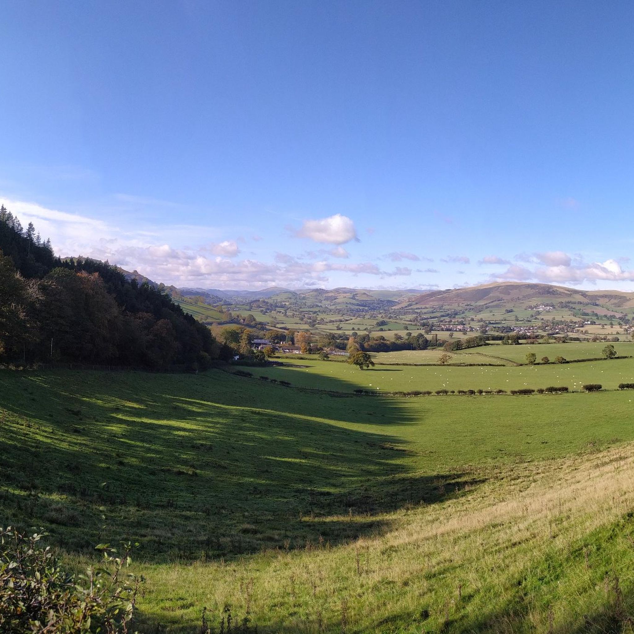
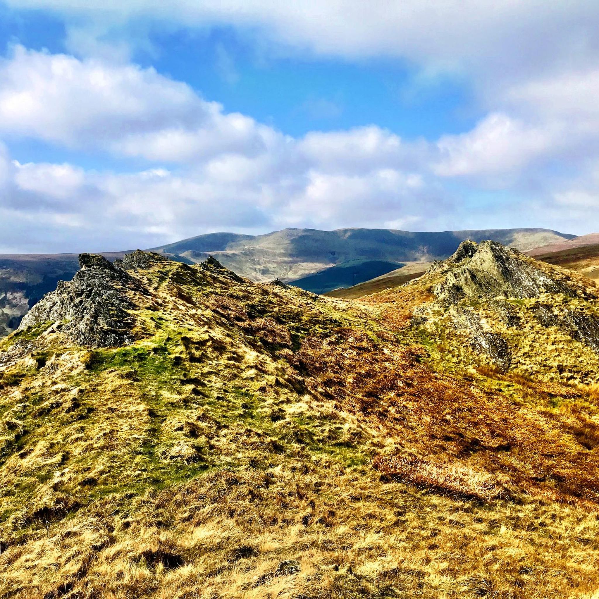
Hikes around Llangedwyn are set within the Tanat Valley, where the Berwyn mountains meet the hills of Montgomeryshire. The landscape is characterized by hilly, wooded terrain, with the River Tanat flowing through the valley floor. Routes often traverse a mix of public footpaths, quiet lanes, and field tracks, offering varied gradients and scenery.
Best hiking trails around Llangedwyn
- The most popular hiking route is The Cafe – Pistyll Rhaeadr loop from Llanrhaeadr-ym-Mochnant, an 8.4 mile (13.5 km) trail that takes about 3 hours 40 minutes to complete. This moderate route features Pistyll Rhaeadr, the tallest waterfall in Wales.
- Another top favourite among local hiking enthusiasts is Gyrn Moelfre Summit Trig Point – Gyrn Moelfre Summit loop from Llangedwyn, a moderate 4.6 mile (7.5 km) path. The trail involves an ascent to the summit trig point, which provides expansive views of the surrounding valley.
- Local hiking enthusiasts also love the Gyrn Moelfre Summit Trig Point – Gyrn Moelfre Summit loop from Llansilin, a 3.0 mile (4.8 km) trail leading through fields and up to the summit, often completed in about 1 hour 45 minutes.
- Hiking around Llangedwyn is defined by rolling hills, semi-natural woodlands, and riverside paths along the Tanat Valley. The network of Llangedwyn walking trails provides options for different ability levels, from gentle valley walks to more demanding hill ascents.
- The routes in Llangedwyn are highly rated by the komoot community with an average score of 4.5 stars from over 190 reviews. More than 1,700 hikers have used komoot to explore Llangedwyn's varied terrain.
Last updated: June 26, 2026
5.0
(2)
29
hikers
13.5km
03:40
200m
200m
Moderate hike. Good fitness required. Easily-accessible paths. Suitable for all skill levels.
4.0
(3)
25
hikers
7.52km
02:28
340m
340m
Moderate hike. Good fitness required. Easily-accessible paths. Suitable for all skill levels.

Sign up for free
5.0
(1)
8
hikers
Moderate hike. Good fitness required. Easily-accessible paths. Suitable for all skill levels.
4.3
(3)
7
hikers
20.4km
06:06
560m
560m
Hard hike. Very good fitness required. Easily-accessible paths. Suitable for all skill levels.
5.0
(1)
10
hikers
Hard hike. Very good fitness required. Easily-accessible paths. Suitable for all skill levels.
Get access to more routes and recommendations from other explorers.
Sign up for free
Already have an account?
Our route recommendations are based on thousands of hikes, rides, and runs completed by other people on komoot.
Start today with a free account
Your next adventure awaits.
Login or Signup

Tips from the Community

Very difficult to get over - especially after the rain. Can’t easily cross.
0
0

Hi I live very close to Moelfre Gyrn. In fact i actually own a small part of it. Moelfre Gyrn has a beautiful view and is lovely to walk up. Great for mountain bikers since they host riding events there. Hope this helps. Regards Arun.
1
0

Great place for a rest stop lovely views, can get busy
1
1
Fantastic views of the waterfall and various walks around this area
0
2

Moelfre Horn [S3128] 523m P237 (1716ft) Welsh Dewey Welsh Trig Pillar
0
0

Pistyll Rhaeadr is an enchanting waterfall in the Berwyn Mountains, just inside Wales, west of Oswestry and Shrewsbury. At 240ft (80m) high it is Britain's tallest single-drop waterfall, captivating all who visit her. Generation after generation take in the spirit and presence of this special place. Many mention how quickly they find peace and reverence within themselves, seldom found in our busy and fragmented world. It's a great place to explore the Berwyn Mountains and surrounding hills, with many walks to suit a variety of walkers.
2
0
Frequently Asked Questions
Are the hiking trails around Llangedwyn suitable for dogs?
Yes, many trails in the Tanat Valley are suitable for dogs, but it's important to be mindful of the landscape. You'll be walking through farmland with livestock, so keeping your dog on a lead is essential. Also, be prepared for stiles on some public footpaths which may be tricky for larger dogs.
Are there any easy, family-friendly walks in the area?
Certainly. The area offers a good number of easier walks. For a straightforward but rewarding option, consider the Viewpoint on Baldersdale Path – View from Moelydd Summit loop from Trefonen. It's a relatively gentle walk with minimal climbing that still provides lovely views.
Can I hike to the Pistyll Rhaeadr waterfall?
Yes, visiting Pistyll Rhaeadr, the tallest waterfall in Wales, is a highlight. The The Cafe – Pistyll Rhaeadr loop from Llanrhaeadr-ym-Mochnant is a popular moderate hike that incorporates the waterfall. For those wanting just to see the falls, there is parking available for a fee right near the base, where you'll also find a small café.
Where is the best place to park for hikes around Llangedwyn?
Parking is generally found in small designated car parks or lay-bys near trailheads. For specific popular attractions like Pistyll Rhaeadr and Llanymynech Rocks Nature Reserve, you'll find dedicated pay-and-display car parks. For routes starting in villages like Llangedwyn or Llansilin, on-street parking is often the only option, so please park considerately.
Are most of the walking routes circular?
Yes, many of the most popular routes in the Llangedwyn area are designed as circular or loop trails. This allows you to start and finish in the same spot without needing to retrace your steps. Hikes like the Gyrn Moelfre Summit Trig Point – Gyrn Moelfre Summit loop from Llangedwyn are great examples of this.
What historical or natural landmarks can I see on a walk?
The region is rich in history and natural beauty. You can explore the highly-regarded Llanymynech Rocks Nature Reserve, a former quarry with old mining features and fantastic views. For history, you can walk near the site of Sycarth Castle, once home to Owain Glyndŵr. Many hilltops, like Craig Rhiwarth, are also ancient hillforts.
How difficult is the hike to Gyrn Moelfre Summit?
The hike to Gyrn Moelfre summit is generally considered a moderate challenge. For instance, the loop from Llansilin involves a steady ascent of nearly 300 meters over a relatively short distance. While not technically difficult, it requires a good level of fitness to enjoy the climb to the trig point, which rewards you with panoramic views.
How many hiking trails are available around Llangedwyn?
There are over 60 hiking routes to explore around Llangedwyn on Komoot. These range from easy valley strolls to moderate hill climbs and more difficult mountain treks, offering plenty of choice for all fitness levels.
What do other hikers enjoy most about the trails in Llangedwyn?
The trails around Llangedwyn are highly rated by the Komoot community. Hikers often praise the variety of the landscape, from the peaceful River Tanat to the expansive views from summits like Gyrn Moelfre. The mix of quiet country lanes, woodland paths, and open fields is frequently mentioned as a major highlight.
Are there any particularly scenic viewpoints I shouldn't miss?
For some of the best views, a summit walk is a must. The top of Gyrn Moelfre offers sweeping panoramas of the Tanat Valley. Another excellent option is the View from Moelydd Summit – Viewpoint on Baldersdale Path loop, which provides fantastic vistas from the Moelydd summit.
Are there any challenging hikes for more experienced walkers?
Yes, the proximity to the Berwyn mountains provides excellent opportunities for challenging hikes. From the base of Pistyll Rhaeadr, experienced and well-equipped hikers can take on strenuous ascents into the main Berwyn range, including routes towards Cadair Berwyn, offering a true mountain day out.
Is the area accessible by public transport?
Accessing the trailheads around Llangedwyn via public transport can be challenging, as services are limited in this rural part of Wales. Most visitors find it more convenient to travel by car. If you plan to use public transport, be sure to check bus schedules and routes in advance as they may not run frequently.
Most popular attractions around Llangedwyn

Get inspired with the komoot mobile app


Explore more
Browse the best Hikes in other regions.
