The best road cycling routes around Llanerfyl
4.9
(5)
305
riders
27
rides
Road cycling routes around Llanerfyl traverse a diverse landscape in Montgomeryshire, Powys, Wales, characterized by hilly terrain, river valleys, and extensive forests. The region offers a blend of challenging climbs and tranquil routes, often with minimal traffic. Key features include the River Banwy and the expansive Lake Vyrnwy, surrounded by moorlands and woodlands like Dyfnant Forest. This varied topography provides options for road cyclists of different fitness levels.
Best road cycling routes around Llanerfyl
- The most popular road cycling route…
Last updated: September 30, 2026
32
riders
82.6km
04:11
1,370m
1,370m
Hard road ride. Very good fitness required. Mostly well-paved surfaces and easy to ride.
28
riders
Moderate road ride. Good fitness required. Mostly well-paved surfaces and easy to ride.

4
riders
119km
05:57
1,890m
1,890m
Hard road ride. Very good fitness required. Mostly well-paved surfaces and easy to ride.
11
riders
82.7km
04:08
1,230m
1,230m
Hard road ride. Very good fitness required. Mostly well-paved surfaces and easy to ride.
2
riders
33.8km
01:31
370m
360m
Moderate road ride. Good fitness required. Mostly well-paved surfaces and easy to ride.
Get access to more routes and recommendations from other explorers.
Already have an account?
Our route recommendations are based on thousands of hikes, rides, and runs completed by other people on komoot.
Start today with a free account
Your next adventure awaits.
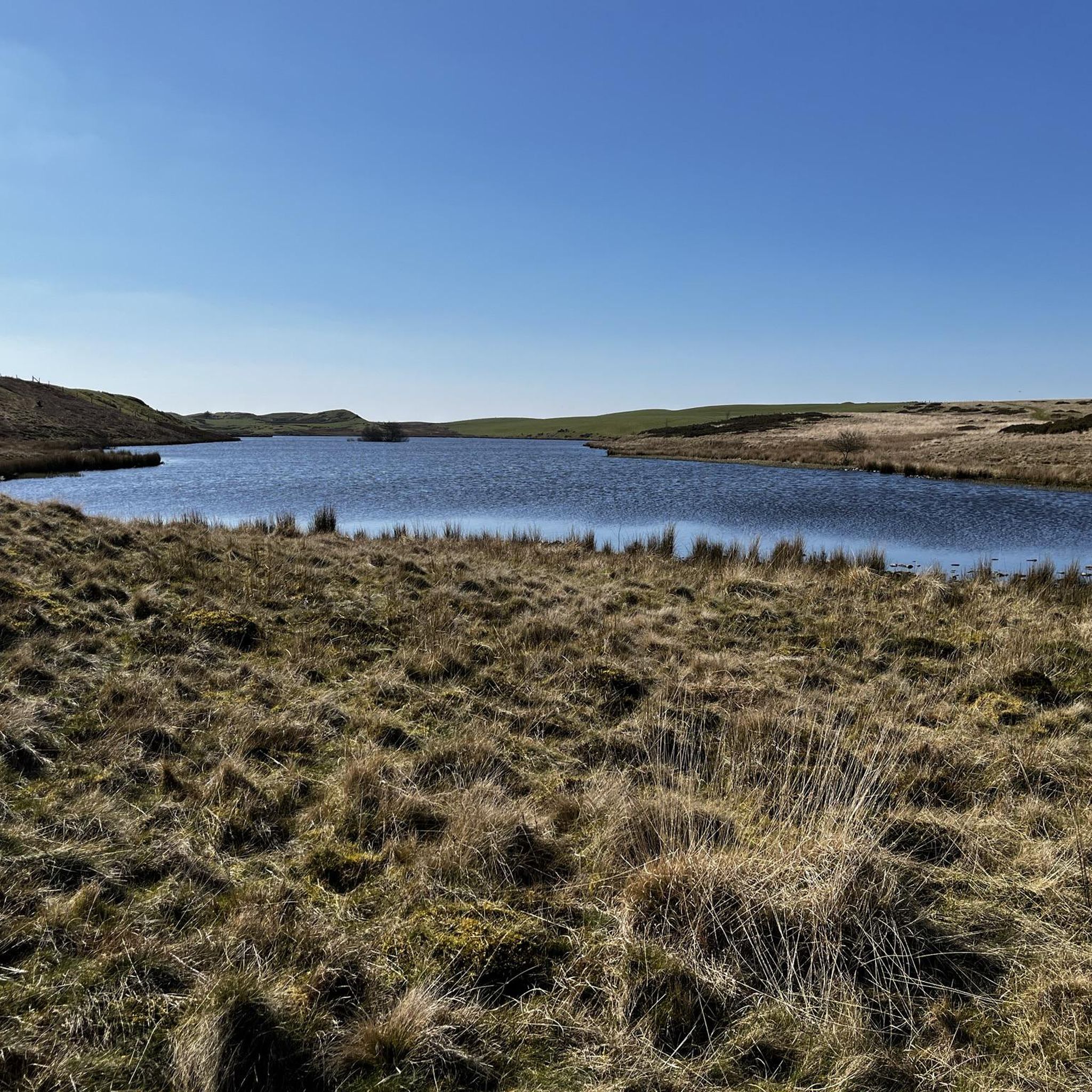
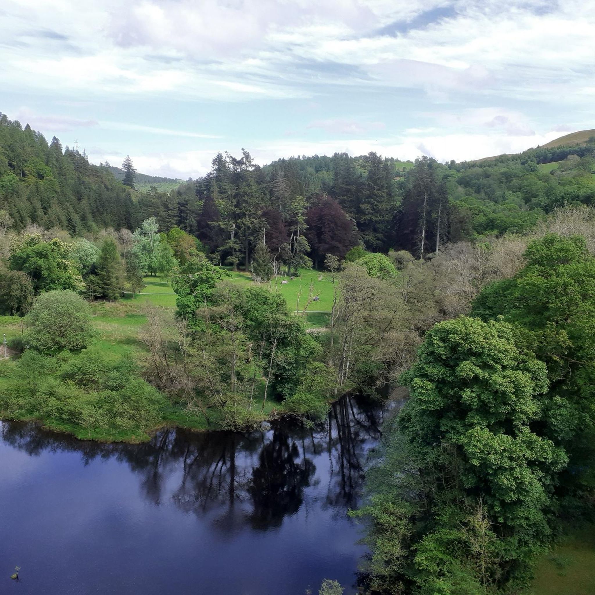
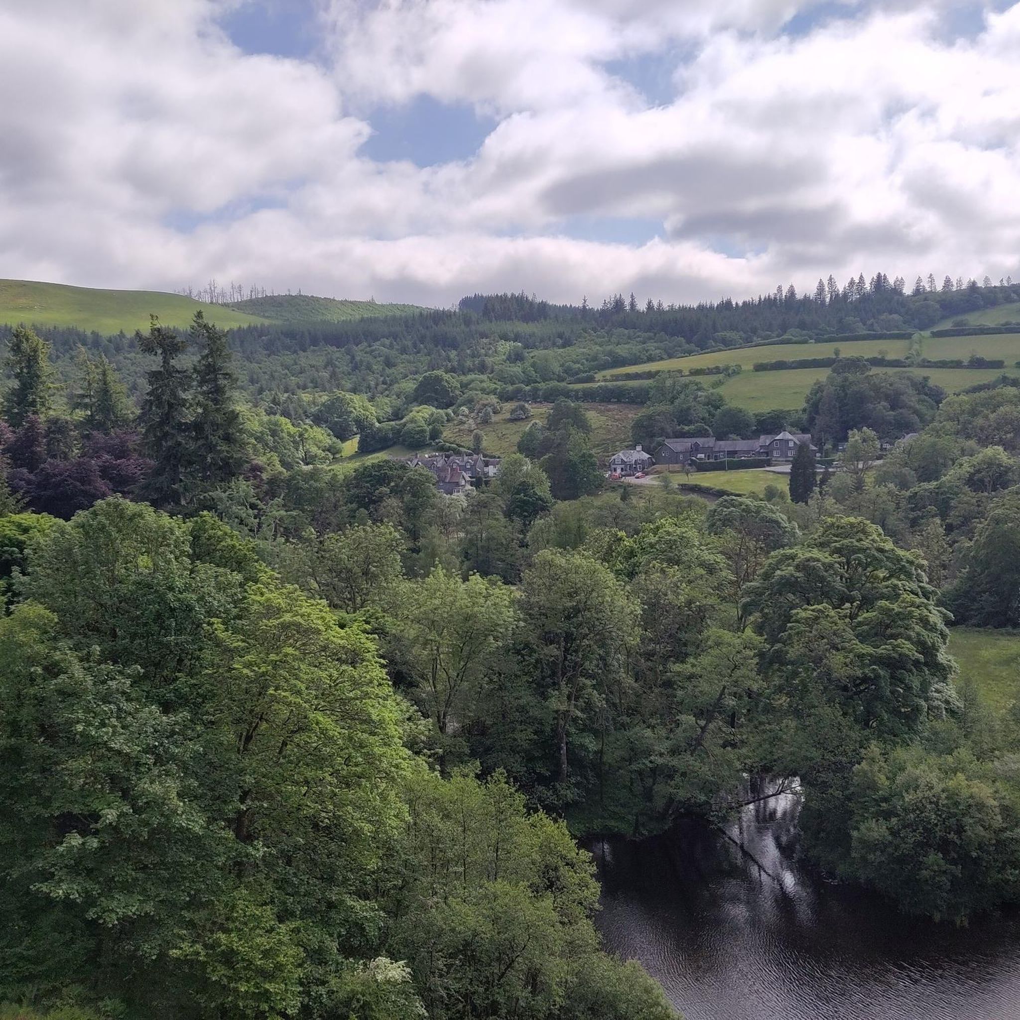
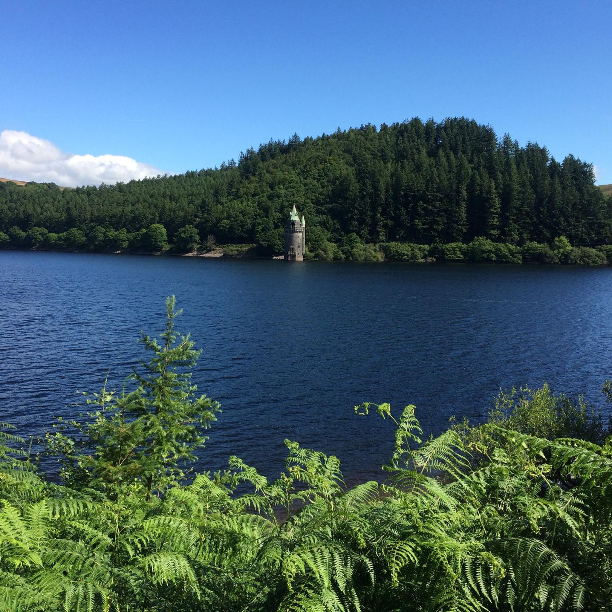
Tips from the Community

It is a great climb through barren moorland. A couple of short steep bits but then undulating to provide time to take in the sourondings. Before the final steep section to the top. An outstanding route even on my 80s
0
0

Lake Vyrnwys straining tower! Lovely place and gives it that fairy tale vibe. One of my special places is Vyrnwy.
0
0

Gorgeous area. Be aware the road/trail on the south side (including access to/from Llanymawddwy) are currently closed due to damage from storm Darragh. See https://www.hdcymru.co.uk/our-visitor-sites/lake-vyrnwy/storm-darragh/ for more details.
0
0


There is a little cafe above the main car park for a coffee and cake after the "gift shop" labelled walks. As usual, Komoot makes the walk easier than using signposts - remember to download to the phone app. Kayaking/canoeing around the lake is only possible for about half of it due to a protected bird sanctuary.
0
0

Stayed at The Wynnstay, perfect place to prepare for starting the Traws Eryri the following day...
0
0
Frequently Asked Questions
How many road cycling routes are available around Llanerfyl?
There are over 30 road cycling routes available around Llanerfyl, offering a diverse range of experiences for cyclists. These routes are highly rated by the komoot community, with an average score of 4.9 stars.
What is the general terrain like for road cycling in Llanerfyl?
The terrain around Llanerfyl is predominantly hilly, featuring both gradual and steep climbs, followed by rewarding sweeping descents. You'll encounter scenic river valleys, expansive forests like Dyfnant Forest, and open moorlands, often with minimal traffic.
What are the difficulty levels of road cycling routes in Llanerfyl?
Llanerfyl offers a range of difficulty levels. You'll find a few easy routes, around 20 moderate routes, and approximately 8 difficult routes. This variety ensures options for different fitness levels, from leisurely rides to challenging climbs.
When is the best time of year to go road cycling in Llanerfyl?
Spring and summer are generally ideal for road cycling in Llanerfyl, offering pleasant weather and the chance to see diverse wildlife, including numerous butterflies and birds. The region's natural beauty, especially around Lake Vyrnwy, is particularly vibrant during these seasons.
What natural features or landmarks can I expect to see while road cycling in Llanerfyl?
You can expect to encounter stunning natural features such as the tranquil Lake Vyrnwy Dam and the reservoir itself, the peaceful River Banwy, and ancient woodlands like Coed Pendugwm. Keep an eye out for the significant upland lake, Llyn Mawr, and potentially the Nant y Maes Waterfall.
Are there any challenging climbs for experienced road cyclists in the area?
Yes, Llanerfyl is known for its challenging climbs. Routes like the Bwlch y Groes – Lake Vyrnwy Dam loop from Foel feature significant elevation gains, offering an immersive experience through dramatic landscapes that will test even very good fitness levels.
Are there any long-distance road cycling routes for multi-day tours?
While specific multi-day routes are not detailed, the region is part of broader cycling networks, including National Cycle Routes like Lôn Las Cymru (NCN 8) and NCN 42/Radnor Ring. These networks facilitate longer touring adventures through scenic river valleys and rolling hills, connecting various parts of Powys.
Are there any family-friendly road cycling options around Llanerfyl?
While many routes feature hilly terrain, there are some easier options available. For families, consider routes with less elevation gain, or explore the quieter sections of the broader cycling networks that traverse the region, which may offer more gentle gradients.
Where can I find parking for road cycling routes in Llanerfyl?
Specific parking locations for individual routes are not detailed here, but generally, starting points for routes like those from Foel or Llanbrynmair would be good places to look for local parking facilities. It's advisable to check local information for parking availability at your chosen starting point.
Are there any circular road cycling routes in Llanerfyl?
Yes, many of the routes around Llanerfyl are designed as loops, allowing you to start and finish in the same location. Examples include the Bwlch y Groes – Lake Vyrnwy Dam loop from Foel and the Machynlleth Clock Tower – Dylife Gorge Viewpoint loop from Llanbrynmair.
What do other road cyclists enjoy most about road cycling in Llanerfyl?
The area is highly rated by the komoot community, with an average score of 4.9 stars from over 5 reviews. Reviewers often praise the region's diverse and scenic landscapes, the blend of challenging climbs and tranquil routes, and the minimal traffic, which allows for an immersive and peaceful cycling experience.
Are there cafes or pubs along the road cycling routes for refreshments?
While specific establishments are not listed for every route, Llanerfyl and nearby villages offer local amenities. For example, the route Jo Jo's Café – Road to Mallwyd loop from Llanbrynmair suggests a café as a starting point, indicating that refreshment stops are available in the area.
Can I use public transport to access road cycling routes in Llanerfyl?
Information on specific public transport links for cyclists is not detailed. However, Llanerfyl is a rural village in Powys, Wales. It's recommended to research local bus services or train connections to nearby towns like Welshpool or Machynlleth, and then plan your cycling route from there, considering bike carriage policies.
Most popular routes around Llanerfyl
Most popular attractions around Llanerfyl

Get inspired with the komoot mobile app


Explore more
Browse the best Road cycling routes in other regions.
