The best walks and hikes around Llanddewi Ystradenny
4.3
(47)
320
hikers
14
hikes
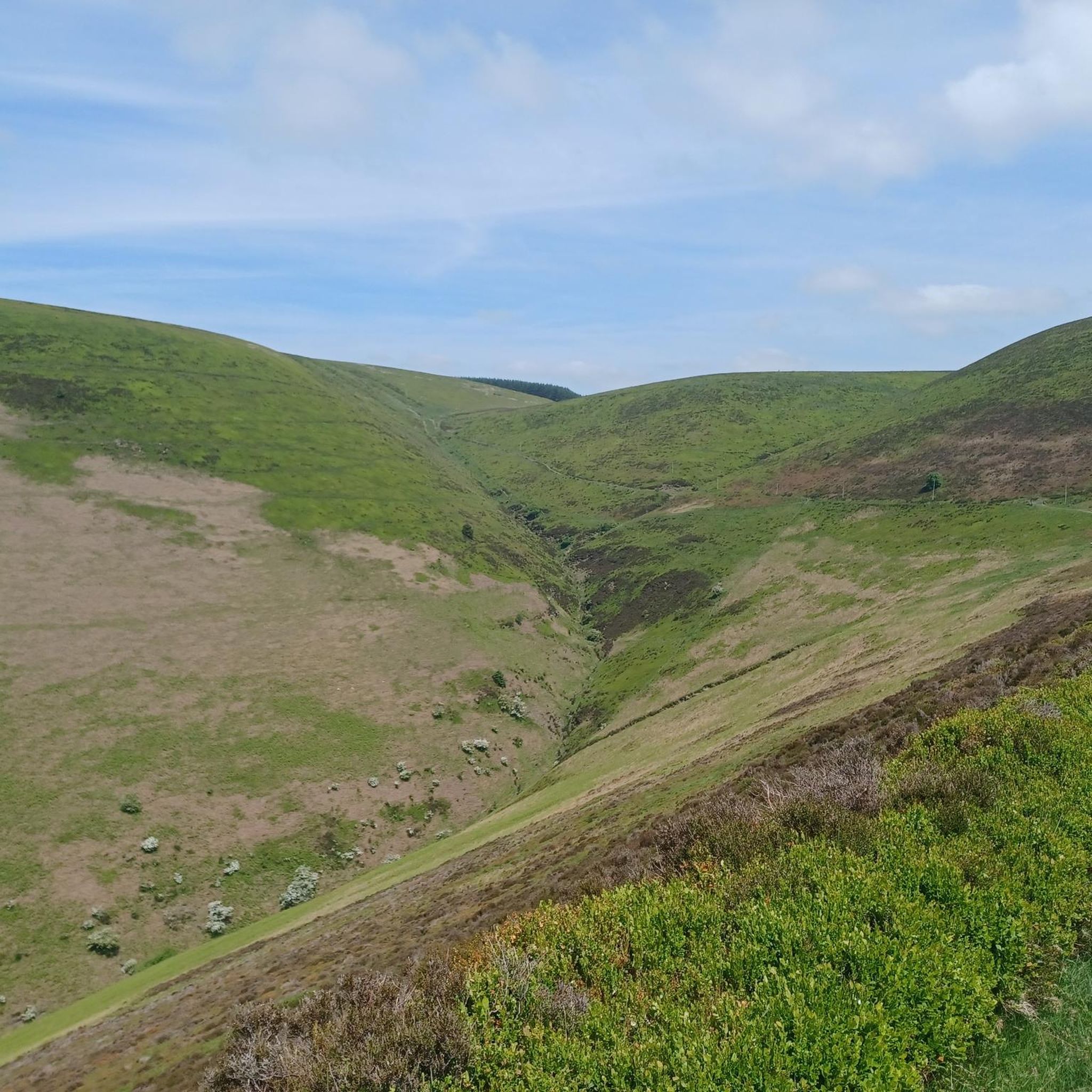
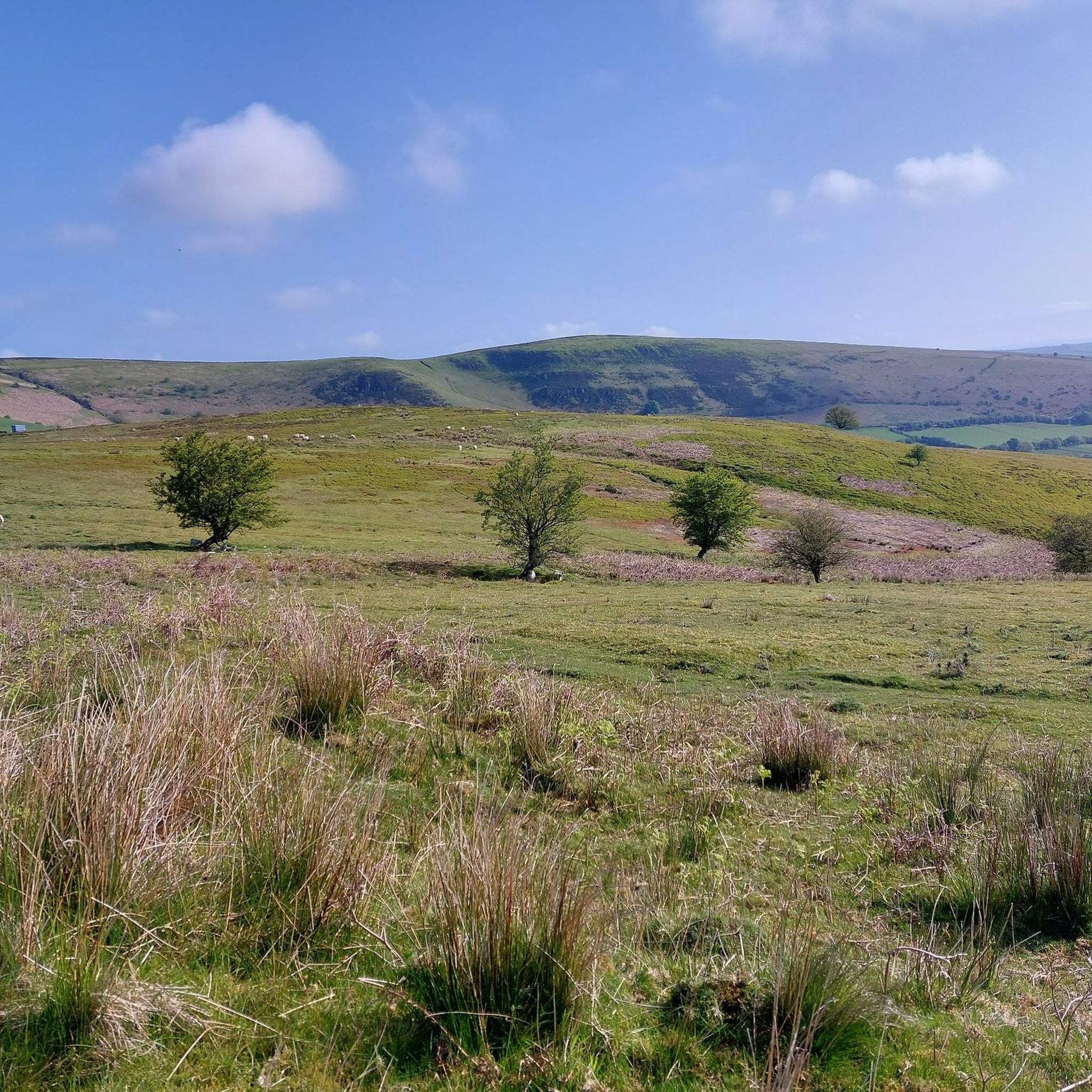
Hikes around Llanddewi Ystradenny explore the rolling hills and woodlands of Powys. The landscape is characterized by a mix of open moorland, forested tracks within areas like Radnor Forest, and paths that follow river valleys. The walking trails near Llanddewi Ystradenny offer varied terrain, from gentle riverside strolls to more demanding ascents over the region's hills.
Best hiking trails around Llanddewi Ystradenny
- The most popular hiking route is Llandrindod Wells loop via Cefnylls Castle, a 6.3 mile (10.2 km)…
Last updated: May 24, 2026
4.7
(13)
44
hikers
10.2km
02:56
260m
260m
Moderate hike. Good fitness required. Easily-accessible paths. Suitable for all skill levels.
4.0
(1)
46
hikers
Easy hike. Great for any fitness level. Easily-accessible paths. Suitable for all skill levels.

Sign up for free
3.5
(2)
64
hikers
4.23km
01:07
40m
40m
Easy hike. Great for any fitness level. Easily-accessible paths. Suitable for all skill levels.
4.3
(4)
13
hikers
9.65km
02:46
230m
230m
Moderate hike. Good fitness required. Easily-accessible paths. Suitable for all skill levels.
4
hikers
Moderate hike. Good fitness required. Easily-accessible paths. Suitable for all skill levels.
Get access to more routes and recommendations from other explorers.
Sign up for free
Already have an account?
Our route recommendations are based on thousands of hikes, rides, and runs completed by other people on komoot.
Start today with a free account
Your next adventure awaits.
Login or Signup

Tips from the Community

The Old Parish Church dates back to the 13th Century. It's a beautiful building in an elevated setting with spectacular views over the Ithon Valley.
1
0


The ridge of Castle Bank hosted two successive castles. Having completed the steep climb to the summit (304m), you will appreciate why it was such a great defensible position. Catch your breath and enjoy commanding views over the tributary valleys of the River Ithon.
1
0

It's a steep climb, and you have other hills to climb on this walk. Give it a miss unless you are very fit.
0
0

Beautiful woodland valley full of bluebells in the late spring.
0
0

They serve excellent ice cream at the Lakeside Cafe.
0
0
Frequently Asked Questions
Are there any good circular walks near Llanddewi Ystradenny?
Yes, the area offers several excellent circular routes. For a moderately challenging loop with historical interest, the Llandrindod Wells loop via Cefnylls Castle is a great option. It combines natural scenery with a visit to the historic castle site.
Can I take my dog on the hiking trails?
Most public footpaths in the area are suitable for dogs, but it's essential to keep them on a lead, especially near livestock which is common in the rolling hills of Powys. The woodlands of Radnor Forest offer many tracks where dogs can enjoy a walk, but always be mindful of wildlife and other walkers.
Are there any easy, family-friendly walks in the area?
Certainly. For a gentle and short walk that's perfect for all skill levels, consider the Journey's End loop from Llandrindod Wells. Another beautiful and accessible option, especially in spring, is the Bluebell Valley (Happy Valley) loop.
Where can I find a hike with a waterfall?
The most notable waterfall in the region is Water-Break-its-Neck in Radnor Forest. It's a spectacular sight, particularly after heavy rain. There is a short, accessible walk leading directly to the base of the falls, making it a popular attraction for visitors.
What is the terrain like for hiking around Llanddewi Ystradenny?
The hiking terrain is quite varied. You'll find everything from gentle riverside paths along the Clywedog Valley to strenuous ascents in the Radnor Forest. The landscape is defined by rolling hills, open moorland, and dense woodland, with a network of public footpaths and historic drovers' roads to explore.
Where is the best place to park for a hike?
Parking availability depends on your chosen trail. For walks starting in towns like Llandrindod Wells, there are usually public car parks. For trails in Radnor Forest, such as the one to Water-Break-its-Neck waterfall, there is a dedicated car park at Warren Wood. It's always best to check the specific starting point of your planned route on komoot for parking suggestions.
Are there any challenging hikes for experienced walkers?
Yes, the Radnor Forest offers several demanding routes. The Radnor Range circular is a long and strenuous hike requiring a high level of fitness. Another option is the Fron-wen Summit (546 m) loop from Bleddfa, which rewards a steady climb with fantastic panoramic views from the top.
Can I get to the trailheads using public transport?
Llandrindod Wells is the main local hub with bus and train services, making it a good starting point for several hikes. Bus services connect Llandrindod Wells to surrounding villages, but they can be infrequent. It's recommended to check timetables in advance to plan your journey to more remote trailheads.
What do other hikers think of the trails around Llanddewi Ystradenny?
The routes in this area are highly rated by the komoot community, with an average score of over 4 stars. Hikers often praise the mix of peaceful woodland tracks, open hills with vast views, and the well-preserved natural beauty of the region.
How many hiking trails are there around Llanddewi Ystradenny?
There are over 15 hiking routes to discover in the immediate area, ranging from easy strolls to difficult mountain treks. This includes trails through Radnor Forest, along river valleys, and over the rolling hills of Powys.
Are there any walks that include historical sites?
Yes, you can combine hiking with history. The area is crossed by old Drovers' Roads, and some routes visit historic locations. For a longer walk with some elevation, the Journey's End loop from Llandrindod offers a moderately challenging trail through the scenic landscape.
Most popular attractions around Llanddewi Ystradenny

Get inspired with the komoot mobile app


Explore more
Browse the best Hikes in other regions.
