The best walks and hikes around Churchstoke
4.5
(622)
3,937
hikers
206
hikes
Walking routes Churchstoke explore the border landscape between Powys, Wales, and Shropshire, England. The region is characterized by rolling hills, sections of woodland, and open fields. Prominent features include Corndon Hill and Roundton Hill, which offer climbs with expansive views, while rivers like the Camlad flow through the valleys.
Best hiking trails around Churchstoke
- The most popular hiking route is Stiperstones Summit – Devil's Chair (Stiperstones) loop from Shelve, a 10.1 mile (16.2 km) trail that takes around 4 hours 40 minutes to complete. The route features the quartzite ridge of the Stiperstones and leads to the Devil's Chair rock formation.
- Another top favourite among local hiking enthusiasts is Mitchell's Fold Stone Circle – Stapeley Hill loop from Shelve, an easy 2.6 mile (4.2 km) path. This route crosses open moorland to the Bronze Age stone circle on Stapeley Hill.
- Local hiking enthusiasts also love the Mitchell's Fold Stone Circle – Stapeley Hill loop from Churchstoke, a 10.9 mile (17.5 km) trail leading through the Shropshire Hills, often completed in about 5 hours 20 minutes.
- Hiking around Churchstoke is defined by ancient earthworks like Offa's Dyke, Bronze Age stone circles, and ascents to hilltops with panoramic views. The network of paths offers options for different ability levels, from short moorland walks to more demanding hill circuits.
- The routes in Churchstoke are highly rated by the komoot community with an average score of 4.6 stars from over 500 reviews. More than 3,600 hikers have used komoot to explore Churchstoke's varied terrain.
Last updated: June 26, 2026
4.8
(5)
21
hikers
10.6km
03:14
360m
360m
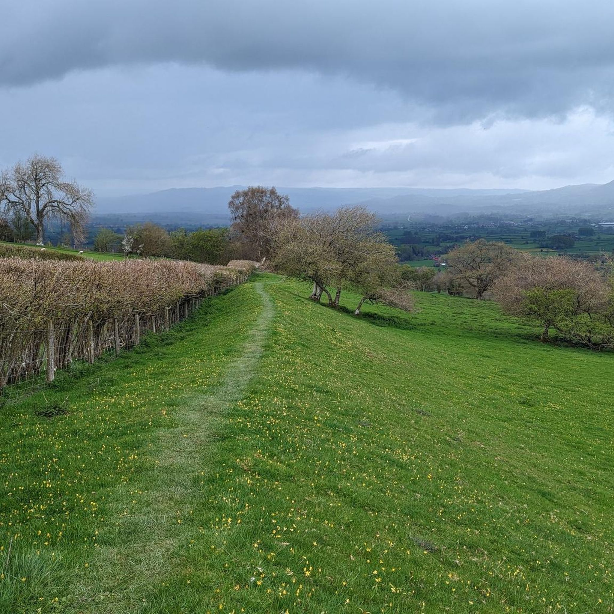
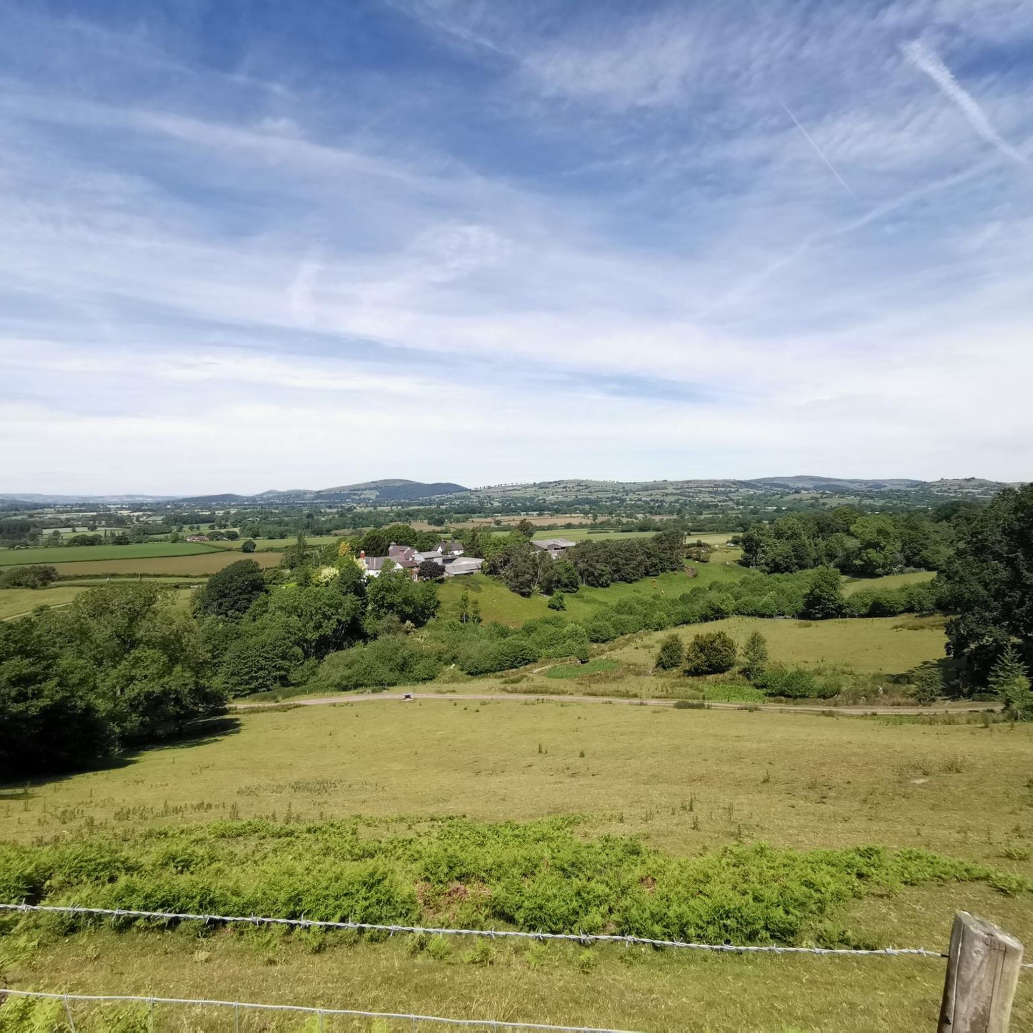
Embark on the Corndon Hill & Mitchell's Fold loop, a moderate hike spanning 6.6 miles (10.6 km) with an elevation gain of 1185 feet (361 metres), typically taking around 3 hours and 14 minutes to complete. This route offers diverse terrain, from unpaved paths and grassland to steep, pathless sections with knee-deep heather near the summit. As you ascend Corndon Hill, you will be rewarded with superb 360-degree panoramic views stretching across both England and Wales, allowing you to spot distant landmarks like the Stiperstones and the Cambrian Mountains on a clear day. The atmospheric moorland scenery provides a truly immersive outdoor experience.
Planning your visit requires good fitness and sure-footedness, as some parts of the trail can be indistinct or pathless, and the climb to Corndon Hill is steep. We recommend wearing proper walking boots and carrying sufficient fluids to stay hydrated throughout your journey. Due to the challenging nature of some ascents and potentially rough tracks, it is wise to bring a map and possibly a compass or GPS device to help with navigation. You will encounter stiles along the route, adding to the traditional hiking experience in the Shropshire Hills.
This loop is rich in history and unique geological features, making it particularly notable. You can explore Mitchell's Fold Stone Circle, a fascinating Bronze Age site steeped in local legend about a magic cow and a witch turned to stone. Corndon Hill itself, standing at 513 metres, is not only a viewpoint but also a significant geological site, formed from a volcanic intrusion and once a Stone Age axe factory. The summit also holds remains of Bronze Age burial cairns, connecting you to ancient human activity in this distinctive borderland region.
10
hikers
4.05km
01:08
80m
80m
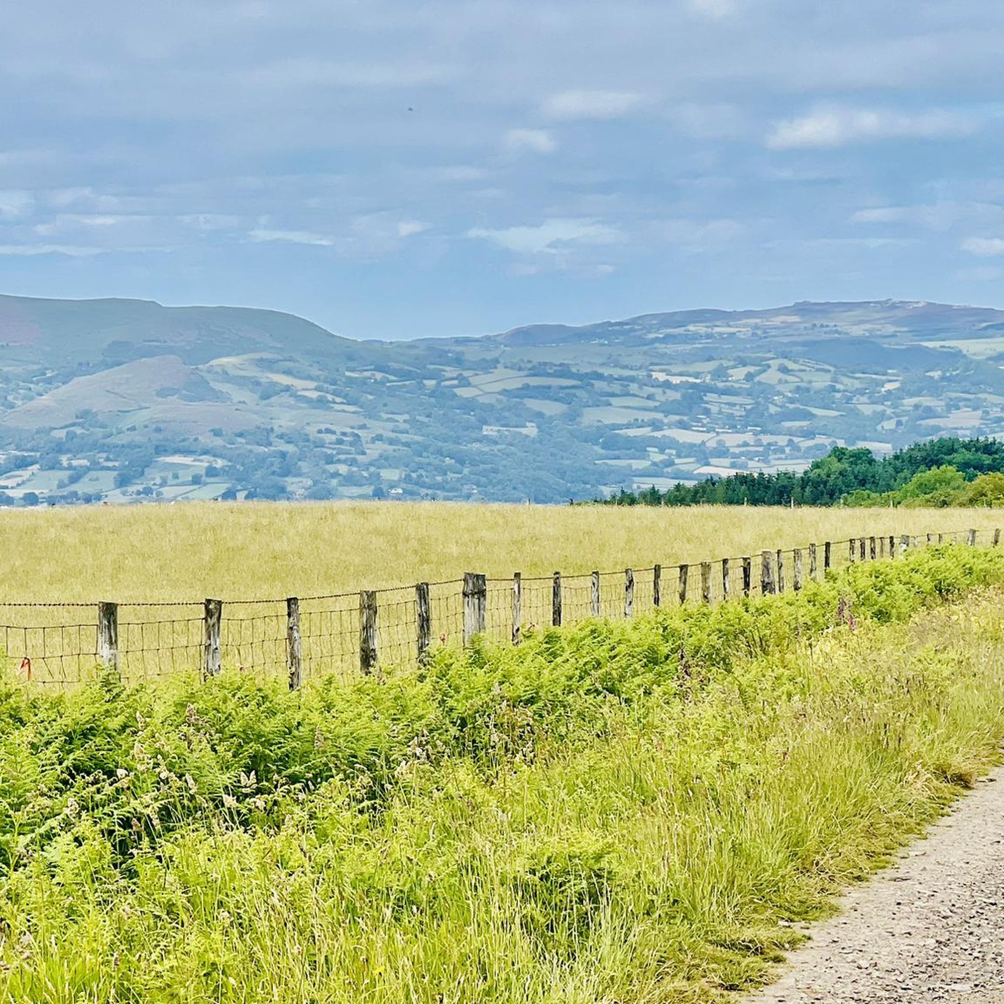
Easy hike. Great for any fitness level. Easily-accessible paths. Suitable for all skill levels.

Sign up for free
5.0
(3)
20
hikers
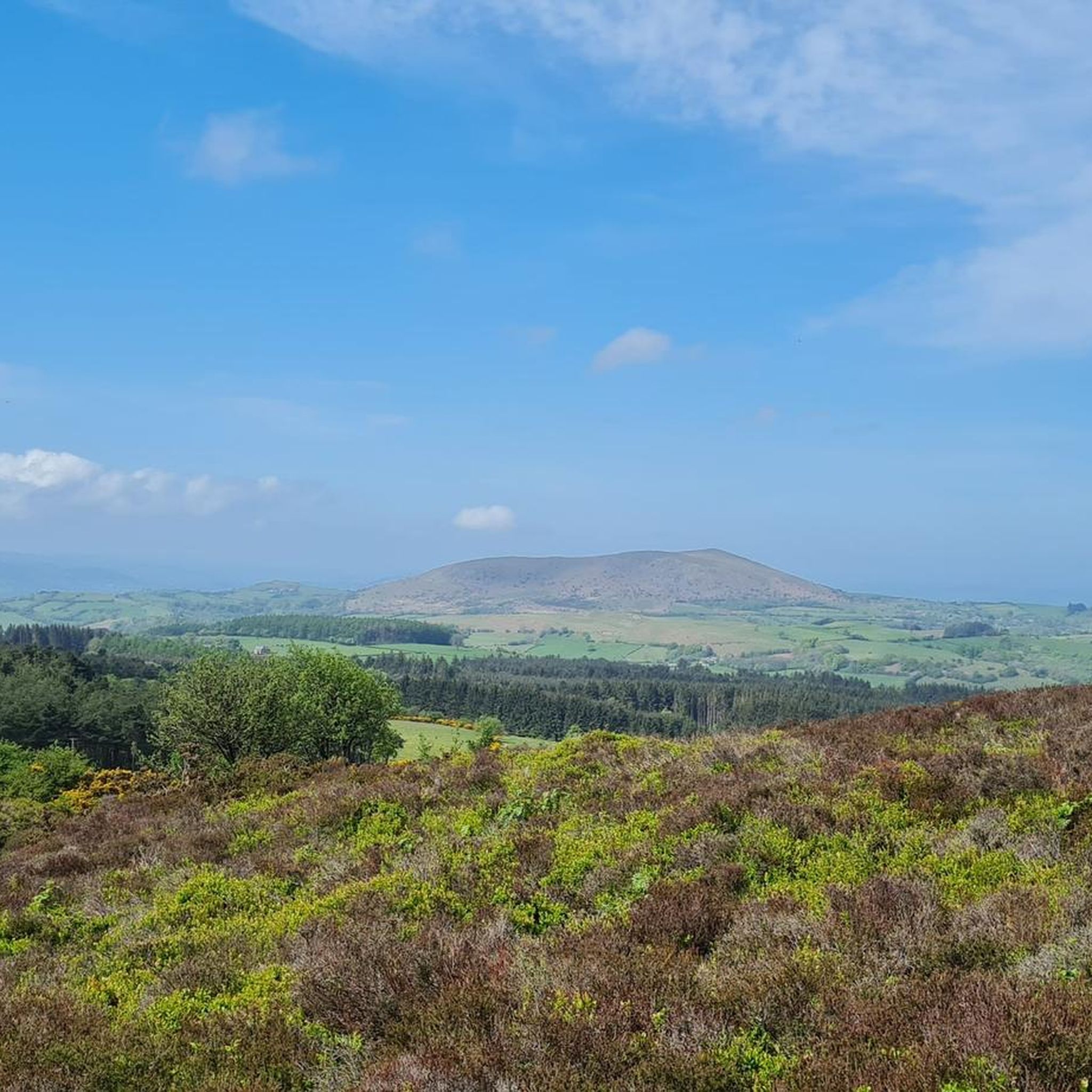
Moderate hike. Good fitness required. Easily-accessible paths. Suitable for all skill levels.
5.0
(3)
17
hikers
4.57km
01:24
160m
160m
Easy hike. Great for any fitness level. Easily-accessible paths. Suitable for all skill levels.
5.0
(1)
22
hikers
Easy hike. Great for any fitness level. Easily-accessible paths. Suitable for all skill levels.
Get access to more routes and recommendations from other explorers.
Sign up for free
Already have an account?
Our route recommendations are based on thousands of hikes, rides, and runs completed by other people on komoot.
Start today with a free account
Your next adventure awaits.
Login or Signup
Tips from the Community

Devil's Chair 529.2m P9.7 Shropshire National Landscape Definitive List summit.
0
0

Be willing to climb to the trig point as it’s placed on top of the summit rock.
0
0


The Devil's Chair is a prominent rock formation located on the Stiperstones ridge in the Shropshire Hills. The ridge is part of the Stiperstones National Nature Reserve and is known for its jagged quartzite rocks, of which the Devil's Chair is the most famous. It stands at around 536 meters and offers sweeping views of the surrounding countryside, including the Welsh borderlands and the Shropshire plains.
1
0

Go up the lane past the steep access-path, go past a spring which crosses the stoney lane, arrive at a gate that gives easier access to the summit !! (Only discovered after having hauled my 78years up the previous path!!) Definitely going again! Offa*s Dyke path clearly visible over Long Mountain !! Peter P. from N/C u Lyme.
0
0

Super nice series of rocks that make for a good scrambling play area, or a rest stop. A very nice place with good views on a sky blue day.
0
0

Stiperstones village is in the heart of the sprawling Shropshire Hills AONB. This is a quaint attractive standalone village with few amenities but is in a gloriously hilly setting.
1
0
Frequently Asked Questions
Are there any easy, family-friendly walks near Churchstoke?
Yes, the area offers several gentle walks suitable for families. For a short but rewarding outing, consider the Hiking loop from Mitchell's Fold. It's a relatively short walk across open moorland that's great for introducing children to the region's ancient history without being too strenuous.
What are the best circular walks in the Churchstoke area?
Churchstoke is fantastic for circular hikes, meaning you can park your car and return to it without retracing your steps. A great option that combines history and scenery is the Mitchell's Fold Stone Circle loop from Shelve. This route takes you across Stapeley Hill to the Bronze Age stone circle and back, offering a complete experience in just over 5 km.
Can I hike a section of the Offa's Dyke Path near Churchstoke?
Absolutely. The famous Offa's Dyke Path runs right through this border region. A popular circular walk that incorporates a scenic part of the trail is the Irresistible Offa Churchstoke. This route allows you to experience a well-preserved section of the ancient earthwork while also exploring the local countryside and nature reserves.
Are there any hikes with historical significance?
The region is steeped in history. Many trails lead to ancient sites. A highlight is the walk to Mitchell's Fold Stone Circle, a dramatic Bronze Age monument on Stapeley Hill. The area around Roundton Hill also features the remains of an Iron Age hillfort and evidence of past lead mining.
What kind of wildlife can I expect to see while hiking?
The nature reserves around Churchstoke are rich in wildlife. On the slopes of Roundton Hill National Nature Reserve, you might spot green woodpeckers, skylarks, and common lizards. The unique geology and old mine workings also provide habitats for rare bats, making it a rewarding area for nature lovers.
Where can I find the best views around Churchstoke?
For spectacular panoramic views, a hike up Corndon Hill is highly recommended. From its 1,683-foot summit, you can see across the Shropshire Hills, the River Severn valley, and into the Cambrian Mountains. The Stiperstones National Nature Reserve is another local favorite, known for its stunning and rugged landscape.
Are the trails around Churchstoke dog-friendly?
Most of the trails in the open countryside are suitable for dogs, but be aware of local restrictions. You will be walking through areas with livestock, so it's essential to keep your dog on a lead. Also, some nature reserves may have specific rules to protect ground-nesting birds and other wildlife, so always check local signage.
What is the terrain like on the hikes?
The terrain is varied. You'll find everything from gentle strolls across open fields and moorland to steep, rugged ascents on hills like Roundton and Corndon. Many paths are well-trodden, but good hiking boots are recommended, especially for the hillier routes which can be rocky and uneven underfoot.
Where is a good place to park for a hike?
Parking availability varies by trail. For walks around the Stiperstones, the Knoll car park at the Stiperstones National Nature Reserve is a great starting point. For hikes starting near Llanymynech, the Llanymynech Rocks Nature Reserve has several small car parks. For other routes, look for designated lay-bys or village parking, but be sure to park considerately.
What do other hikers think of the trails around Churchstoke?
The area is highly regarded by the komoot community, with an average rating of 4.6 stars from over 500 reviews. Hikers often praise the stunning panoramic views from the hilltops, the rich history of the landscape, and the variety of trails that cater to different fitness levels.
How many hiking trails are available near Churchstoke?
There are over a dozen curated hiking routes available to explore around Churchstoke on komoot. These range from 6 easy walks perfect for a casual afternoon to more challenging full-day hikes, ensuring there's a trail for every ability.
Most popular routes around Churchstoke
Most popular attractions around Churchstoke

Get inspired with the komoot mobile app


Explore more
Browse the best Hikes in other regions.
