The best road cycling routes around Banwy
4.9
(5)
322
riders
27
rides
Road cycling routes around Banwy are set within the tranquil, sparsely populated upper River Banwy valley in Powys, Wales. The region features a mix of well-paved roads and challenging segments, with significant elevation gains in places. Key geographical features include the expansive Lake Vyrnwy and the demanding mountain pass of Bwlch y Groes, offering varied terrain for road cyclists. The area's proximity to larger mountain ranges provides opportunities for more demanding climbs.
Best road cycling routes around Banwy
- The most…
Last updated: September 30, 2026
32
riders
82.6km
04:11
1,370m
1,370m
Hard road ride. Very good fitness required. Mostly well-paved surfaces and easy to ride.
39
riders
55.3km
02:33
590m
590m
Moderate road ride. Good fitness required. Some segments of this route may be unpaved and difficult to ride.

8
riders
Moderate road ride. Good fitness required. Mostly well-paved surfaces and easy to ride.
4
riders
119km
05:57
1,890m
1,890m
Hard road ride. Very good fitness required. Mostly well-paved surfaces and easy to ride.
9
riders
5.98km
00:35
370m
370m
Moderate road ride. Good fitness required. Mostly well-paved surfaces and easy to ride.
Get access to more routes and recommendations from other explorers.
Already have an account?
Our route recommendations are based on thousands of hikes, rides, and runs completed by other people on komoot.
Start today with a free account
Your next adventure awaits.
Tips from the Community

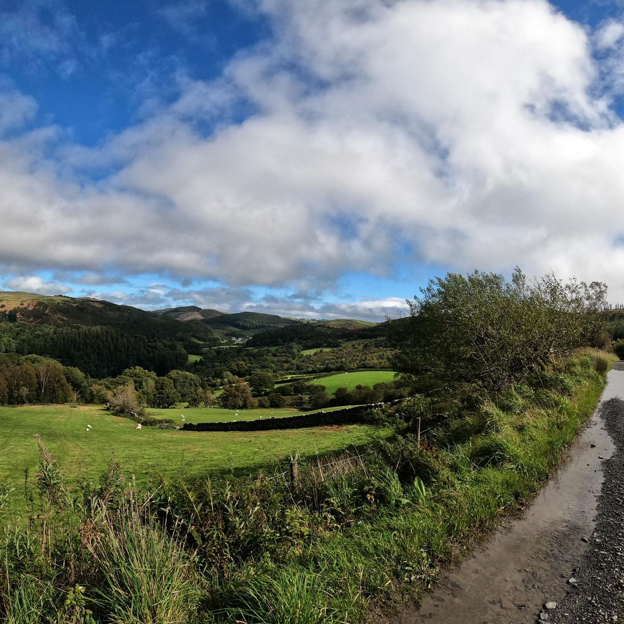
It is a great climb through barren moorland. A couple of short steep bits but then undulating to provide time to take in the sourondings. Before the final steep section to the top. An outstanding route even on my 80s
0
0

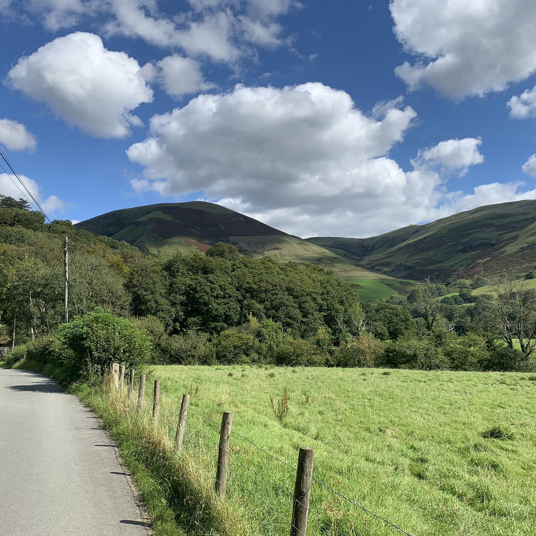
The climb up to Bwlch-y-Groes from Llanymawddwy is a tough one. It is about 3.4 km long and has about 387 m of vertical ascent to get to the gap at 546 m above sea level. You will have an average gradient of 11.3% to grind away at, but you will be rewarded with fantastic views north and south.
0
0

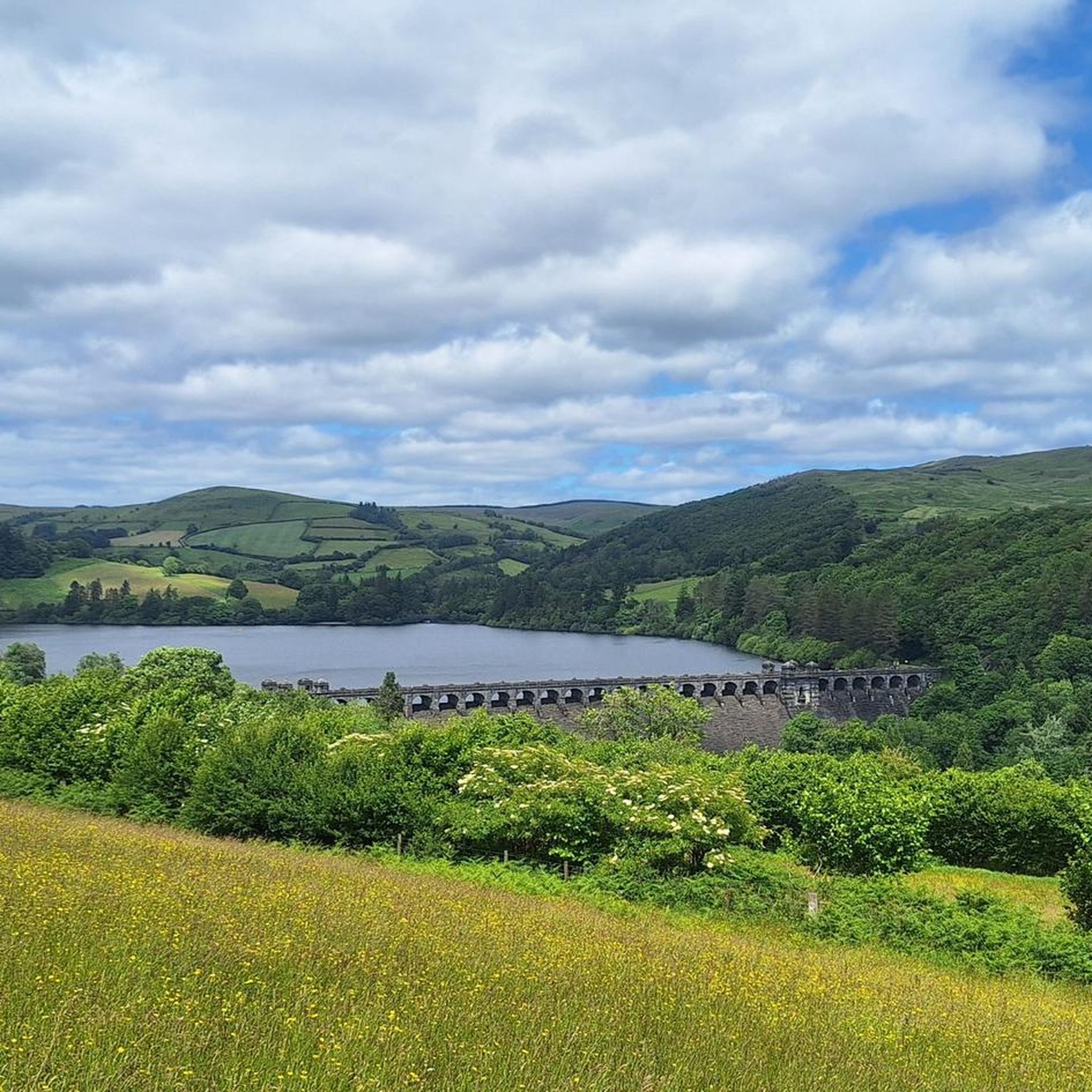
Lake Vyrnwys straining tower! Lovely place and gives it that fairy tale vibe. One of my special places is Vyrnwy.
0
0

Gorgeous area. Be aware the road/trail on the south side (including access to/from Llanymawddwy) are currently closed due to damage from storm Darragh. See https://www.hdcymru.co.uk/our-visitor-sites/lake-vyrnwy/storm-darragh/ for more details.
0
0

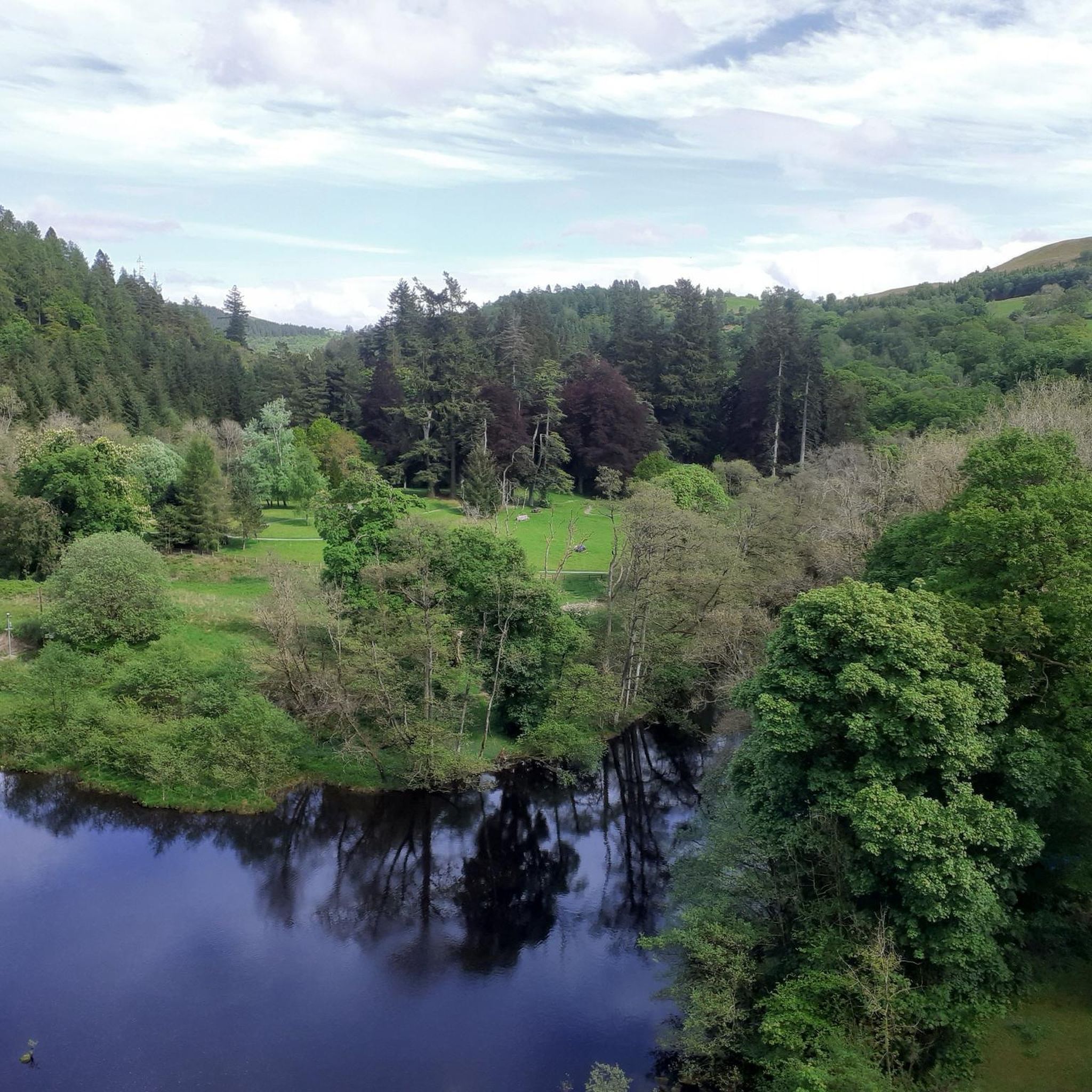
People swim in the river behind. And jump in from the bridge
0
0

There is a little cafe above the main car park for a coffee and cake after the "gift shop" labelled walks. As usual, Komoot makes the walk easier than using signposts - remember to download to the phone app. Kayaking/canoeing around the lake is only possible for about half of it due to a protected bird sanctuary.
0
0
Frequently Asked Questions
How many road cycling routes are available in Banwy?
Banwy offers a diverse selection of road cycling routes, with over 25 options available. These routes cater to various skill levels, including easy, moderate, and difficult rides through the region's scenic landscapes.
What are the difficulty levels of road cycling routes in Banwy?
The road cycling routes in Banwy range from moderate to difficult. You'll find 18 moderate routes, often traversing valleys, and 9 difficult routes that include substantial climbs, such as the challenging Bwlch y Groes mountain pass. There is also 1 easy route available for those seeking a more relaxed ride.
What natural landmarks can I see while road cycling in Banwy?
Road cycling in Banwy offers stunning natural landmarks. Many routes feature the expansive Lake Vyrnwy Dam and its surrounding reservoir, known for dramatic waterfalls and rich wildlife. You can also experience the challenging mountain pass of Bwlch y Groes, and some routes offer views towards the Summit of Aran Fawddwy, the highest mountain in the UK south of Snowdon.
Are there any specific points of interest along the road cycling routes?
Yes, several routes pass by notable points of interest. The Machynlleth Clock Tower – Lake Vyrnwy Dam loop from Foel, for instance, takes you past the impressive Lake Vyrnwy Dam. The region also boasts the impressive Pistyll Rhaeadr waterfall, which, while not directly on all road cycling routes, is a significant natural wonder nearby.
Are there challenging climbs for experienced road cyclists in Banwy?
Absolutely. Banwy is renowned for its challenging climbs, particularly the iconic Bwlch y Groes mountain pass. Routes like the Bwlch y Groes – Lake Vyrnwy Dam loop from Foel feature significant elevation gains, demanding very good fitness. The proximity to larger mountain ranges like Snowdonia also contributes to more demanding climbs in the area.
What kind of terrain can I expect on Banwy's road cycling routes?
You can expect a varied terrain on Banwy's road cycling routes. The area features a mix of well-paved roads, ideal for road bikes, alongside some segments that might be more challenging. Routes traverse the tranquil River Banwy valley, offering moderate altitudes, but also ascend into mountainous areas with substantial elevation gains, especially around Lake Vyrnwy and Bwlch y Groes.
Are there any circular road cycling routes in Banwy?
Yes, Banwy offers several excellent circular road cycling routes. A popular option is the Bwlch y Groes – Lake Vyrnwy Dam loop from Foel, which provides a comprehensive tour of the region's highlights. Another great choice is the Llangadfan Motte – Jo Jo's Café loop from Llanerfyl, which guides you through the picturesque Banwy valley.
Where can I find parking for road cycling routes in Banwy?
Many road cycling routes in Banwy start from locations with accessible parking. For example, the Lake Vyrnwy Dam – Bwlch y Groes loop can be started from Hendre Car Park, offering a convenient base for your ride. It's advisable to check the specific route details on komoot for recommended starting points and parking information.
What do other road cyclists say about the routes in Banwy?
The road cycling routes in Banwy are highly regarded by the komoot community, boasting an impressive average rating of 4.9 stars from over 5 reviews. Cyclists frequently praise the diverse landscapes, the tranquility of the upper River Banwy valley, and the rewarding challenges offered by climbs like Bwlch y Groes.
Are there places to stop for refreshments or accommodation along the routes?
While Banwy is a sparsely populated area, you can find options for refreshments. Routes like the Llangadfan Motte – Jo Jo's Café loop from Llanerfyl specifically mention cafes, such as Jo Jo's Café, as a stopping point. For accommodation, you'll find options in nearby villages and around Lake Vyrnwy, though it's always best to plan ahead, especially in this tranquil region.
What is the best time of year for road cycling in Banwy?
The best time for road cycling in Banwy is generally during the spring, summer, and early autumn months. During these periods, the weather is typically milder and more stable, making the challenging climbs and scenic routes more enjoyable. Always check local weather forecasts before heading out, as conditions in mountainous areas can change rapidly.
Can I explore the River Banwy valley on a road bike?
Yes, the River Banwy valley forms a central part of the region's road cycling network. The valley, traversed by the A458 road, offers picturesque routes through a tranquil landscape. The Llangadfan Motte – Jo Jo's Café loop from Llanerfyl is a great example of a route that leads directly through the Banwy valley, allowing you to experience its natural beauty.
Most popular routes around Banwy
Most popular attractions around Banwy

Get inspired with the komoot mobile app


Explore more
Browse the best Road cycling routes in other regions.
