The best road cycling routes around Ruthin
4.6
(22)
1,142
riders
42
rides
Road cycling routes around Ruthin are situated within the Vale of Clwyd, offering diverse terrain for cyclists. The region is characterized by rolling hills, dense woodlands, and picturesque valleys, set against the backdrop of the Clwydian Range and Dee Valley National Landscape. Elevations range from 29 to 559 meters, providing options from tranquil riverside rides to challenging hill climbs. Cyclists can experience significant ascents like those found on Moel Arthur and routes incorporating the Horseshoe Pass.
Best road cycling routes…
Last updated: May 27, 2026
5
riders
117km
05:22
1,290m
1,290m
Hard road ride. Very good fitness required. Mostly well-paved surfaces and easy to ride.
98.0km
05:10
1,730m
1,730m
Hard road ride. Very good fitness required. Mostly well-paved surfaces and easy to ride.

Sign up for free
25
riders
44.0km
02:40
850m
850m
Moderate road ride. Good fitness required. Mostly well-paved surfaces and easy to ride.
5.0
(1)
20
riders
21.2km
01:14
350m
350m
Moderate road ride. Good fitness required. Mostly well-paved surfaces and easy to ride.
21
riders
73.0km
03:24
830m
830m
Moderate road ride. Good fitness required. Mostly well-paved surfaces and easy to ride.
Get access to more routes and recommendations from other explorers.
Sign up for free
Already have an account?
Our route recommendations are based on thousands of hikes, rides, and runs completed by other people on komoot.
Start today with a free account
Your next adventure awaits.
Login or Signup
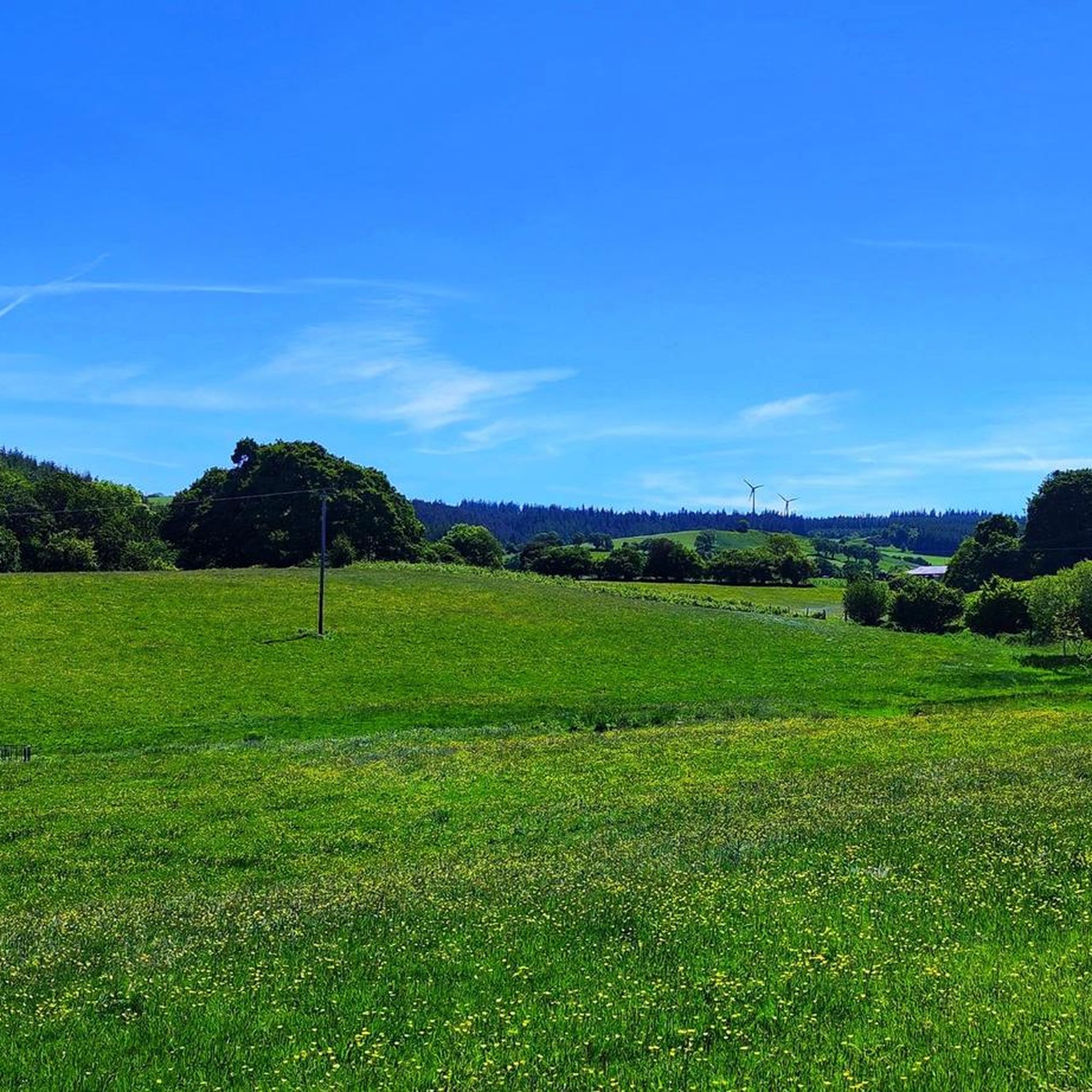
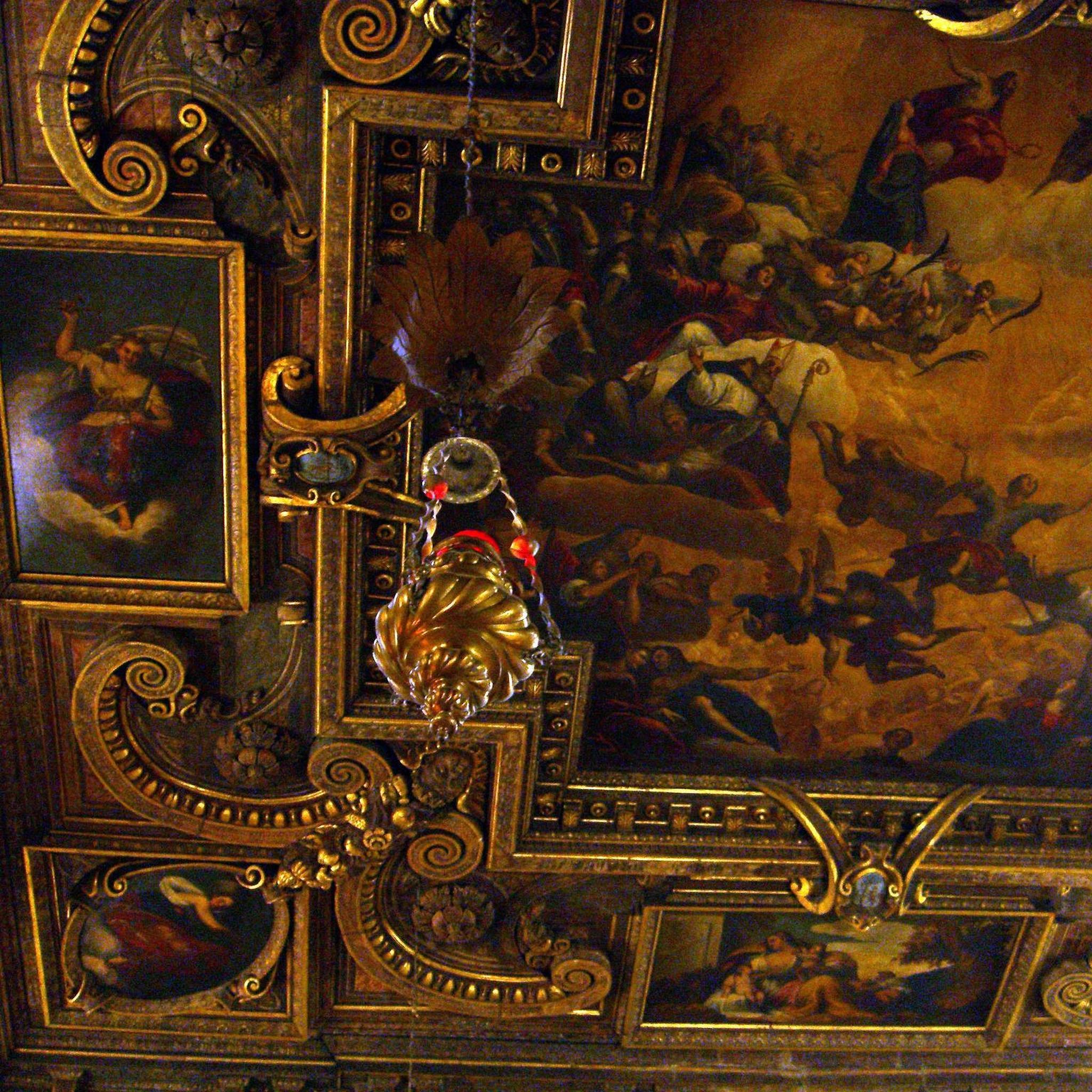
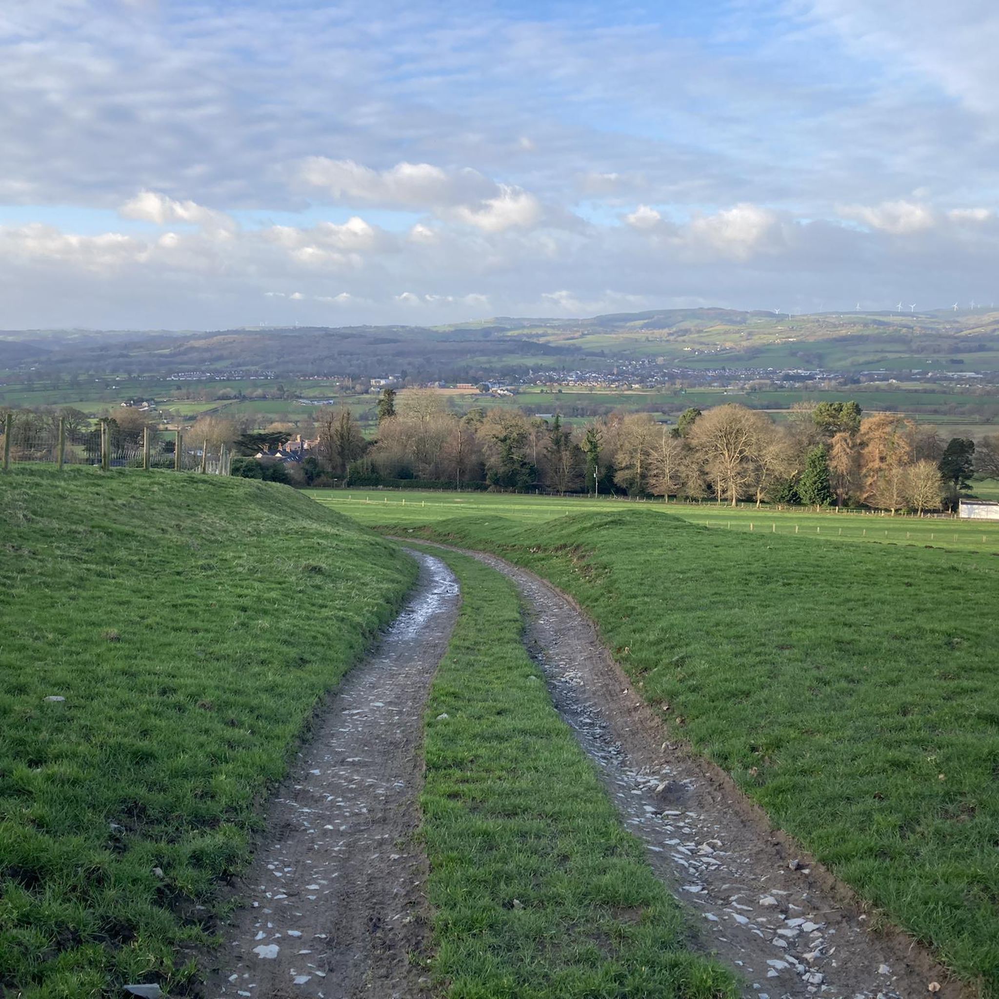

Tips from the Community

Best way in to Ruthin from Chester.
0
0

Rhos on Sea is described as neat, pristine and peaceful. There is a long seaside promenade and great views.
0
0

The cliff top cafe with a heart of gold. A walk around the Marine Drive on the Great Orme is a fascinating experience, with a wealth of Archaeology, Geology and Biology on view. But it's a thirsty walk, and all uphill. Half way round, at the highest point, there's a great surprise in store. Built in 1908, and there’s an apocryphal story that suggests the then owner’s somewhat dominant wife wasn’t seen after the concrete foundations were laid… Originally, the cafe was a simple shack, but in the 1980s it was expanded to hold 16 seats, and acted as a warm and cosy shelter for the winter walkers. In 2001 the cafe was expanded again, through EU grant aid, to house a toilet and a larger room, and in 2019 the final expansion phase saw a much larger main room and the new roof terrace created. there is ample free parking, plenty of space inside, outside and on the roof and the best toasted teacakes to be found anywhere.
0
0


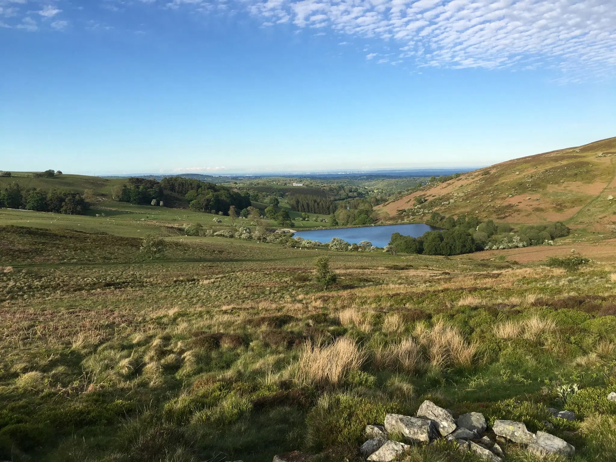
Perfect place for a stop soak in the views after a good climb. plenty of sheep about and gates but well worth a detour.
0
0
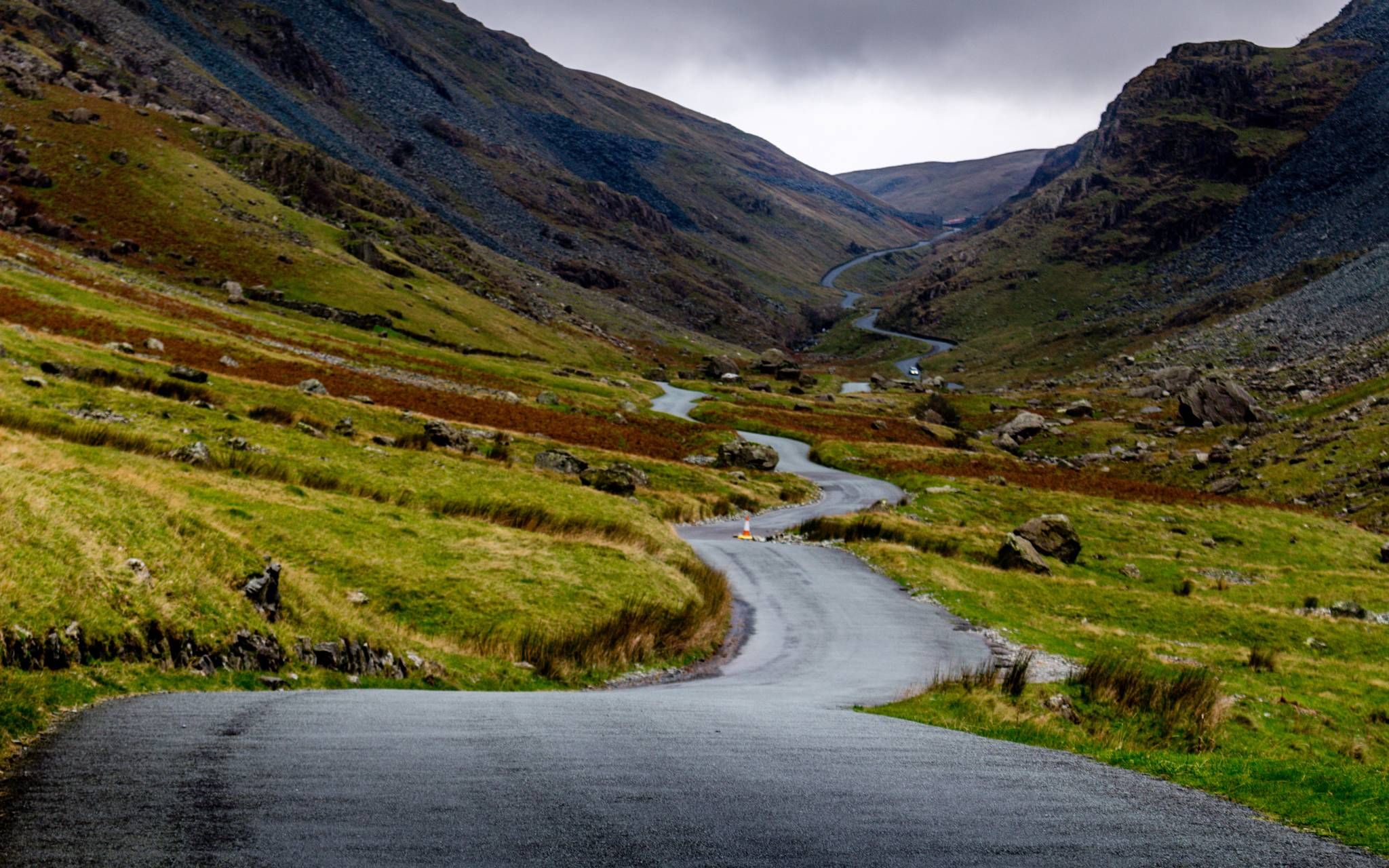
A good long testing climb in Dengbidhire, Wales. Turning off the B5429, you head south east along a small lane. It is a little rough in places, but the road is quite quiet. The climb is 3 miles long, averaging 5%. In the middle of the climb, there is a steep corner of around 12%, but this gradient doesn’t last long before returning to quite a steady climb up towards Moel Y Waun.
1
0

Cycled past it on the road, didn't have time to stop but looked well with a visit, also a campsite near to it. 👍
0
0
Very fast down hill as you go past the Abbey. Make sure you have serviced your brakes
3
0
Frequently Asked Questions
How many road cycling routes are available around Ruthin?
Ruthin offers a wide selection of road cycling routes, with over 40 options available. These routes cater to various skill levels, from moderate rides to challenging ascents, all set within the picturesque Vale of Clwyd and the Clwydian Range.
Are there road cycling routes suitable for beginners in Ruthin?
Yes, Ruthin has several road cycling routes suitable for beginners. There are 9 easy routes available, providing a gentler introduction to the region's beautiful landscapes without overly demanding climbs. These routes often feature tranquil sections through the Vale of Clwyd.
What are some challenging road cycling climbs near Ruthin?
For experienced cyclists seeking a challenge, the Ruthin area offers significant ascents. The Pentrefoelas loop from Ruthin loop, for example, features over 1,700 meters of elevation gain. Additionally, the Clwydian Range includes notable climbs like Moel Arthur, known for its challenging 1.4-mile ascent with gradients up to 20%.
Can I find circular road cycling routes starting from Ruthin?
Yes, many road cycling routes around Ruthin are designed as loops, allowing you to start and finish in the same location. A popular option is the Horseshoe Pass – Valle Crucis Abbey loop from Ruthin, which offers dramatic Welsh scenery and a significant climb before returning to Ruthin.
What kind of scenery can I expect on road cycling routes around Ruthin?
Road cycling routes around Ruthin traverse diverse and stunning landscapes. You can expect to ride through rolling hills, dense woodlands, and picturesque valleys. The region is part of the Clwydian Range and Dee Valley National Landscape, offering panoramic views across the Vale of Clwyd towards Snowdonia and the English border, especially from higher points like Moel Famau.
Are there any historical or natural landmarks to see along the routes?
Absolutely. The routes often pass by or offer views of significant landmarks. You might spot the historic Ruthin Castle, or cycle near the Clwydian Range where you can find natural monuments. Highlights include the Jubilee Tower on Moel Famau, the Moel Arthur peak, and the Moel Gyw Summit, all offering stunning viewpoints.
Where can I park my car when cycling in Ruthin?
Ruthin, as a market town, typically offers various parking options within the town center or at trailheads for accessing routes. While specific parking locations for each route are best checked locally, many routes, such as the Ruthin Town Centre loop from Ruthin, are designed to start directly from the town, making parking convenient.
What is the best time of year for road cycling in Ruthin?
The spring and summer months generally offer the most favorable conditions for road cycling in Ruthin, with milder weather and longer daylight hours. However, the region's rolling hills and woodlands provide beautiful scenery year-round. Always check local weather forecasts, especially when planning rides with significant elevation gain or through exposed areas like the Clwydian Range.
Are there places to stop for refreshments along the road cycling routes?
Yes, the routes around Ruthin often pass through welcoming villages and towns where you can find cafes and pubs. The region is known for its hospitality, and many establishments cater to cyclists. Planning your route with komoot allows you to identify potential refreshment stops along the way.
What do other cyclists say about road cycling in Ruthin?
The road cycling experience in Ruthin is highly rated by the komoot community, with an average score of 4.5 stars from over 5 reviews. Cyclists often praise the varied terrain, from tranquil valley rides to challenging climbs, and the stunning natural beauty of the Clwydian Range and Vale of Clwyd. Over 300 road cyclists have already used komoot to explore the area.
Are there family-friendly road cycling options in Ruthin?
While many routes around Ruthin involve significant elevation, there are options that can be more suitable for families, especially those looking for less challenging terrain. Look for routes with lower elevation gain and those that stick to quieter roads within the Vale of Clwyd. Always consider the distance and difficulty grade when planning a family outing.
What are the road surface conditions like on popular climbs such as the Horseshoe Pass?
Road surface conditions on popular climbs like the Horseshoe Pass are generally well-maintained for road cycling, offering a good surface for ascents and descents. However, as with any mountainous region, conditions can vary, especially after adverse weather. It's always advisable to check recent route reviews or local conditions before embarking on a ride, particularly on challenging sections.
How does the Clwydian Range contribute to the cycling experience?
The Clwydian Range and Dee Valley National Landscape is central to the road cycling experience in Ruthin. It provides a comprehensive network of routes with elevations ranging from 29 to 559 meters, offering everything from tranquil riverside rides to challenging hill climbs. The range's rolling hills, heather-clad summits, and dense woodlands create a dramatic and rewarding backdrop for cyclists.
Most popular attractions around Ruthin

Get inspired with the komoot mobile app


Explore more
Browse the best Road cycling routes in other regions.
