The best walks and hikes around Cynwyd
4.5
(243)
1,640
hikers
64
hikes
Hiking around Cynwyd features a landscape shaped by converted rail-trails, offering accessible paths and scenic views of the Schuylkill River. The area is characterized by its connectivity to wider trail networks, including the Circuit Trails, and incorporates historical sites and natural meadows. These varied terrains provide options for different types of outdoor exploration.
Best hiking trails around Cynwyd
- The most popular hiking route is Corwen Reservoir – Corwen Town Square loop from Cynwyd, an 8.9 miles (14.3 km) trail…
Last updated: July 10, 2026
4.5
(6)
37
hikers
14.5km
04:16
420m
420m
Moderate hike. Good fitness required. Easily-accessible paths. Suitable for all skill levels.
4.5
(6)
37
hikers
14.7km
04:25
460m
460m
Moderate hike. Good fitness required. Easily-accessible paths. Suitable for all skill levels.

Sign up for free
5.0
(2)
12
hikers
9.24km
02:55
390m
390m
Moderate hike. Good fitness required. Easily-accessible paths. Suitable for all skill levels.
4.0
(1)
14
hikers
18.7km
05:41
650m
650m
Hard hike. Very good fitness required. Easily-accessible paths. Suitable for all skill levels.
9
hikers
4.60km
01:24
170m
170m
Easy hike. Great for any fitness level. Easily-accessible paths. Suitable for all skill levels.
Get access to more routes and recommendations from other explorers.
Sign up for free
Already have an account?
Our route recommendations are based on thousands of hikes, rides, and runs completed by other people on komoot.
Start today with a free account
Your next adventure awaits.
Login or Signup
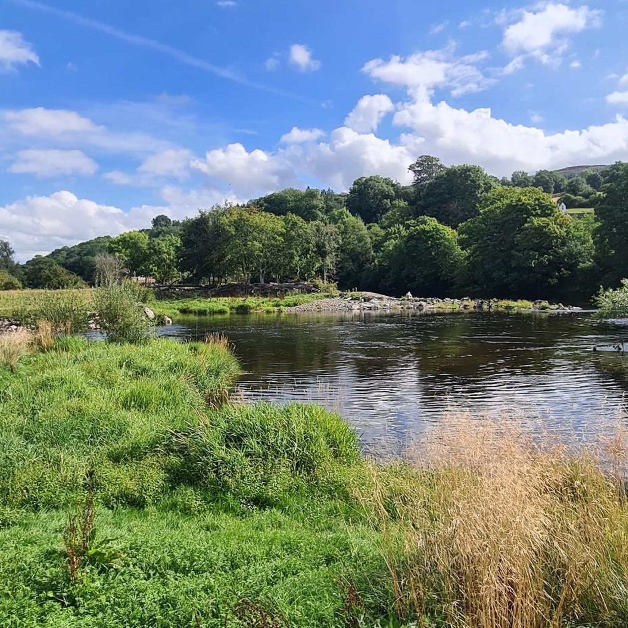
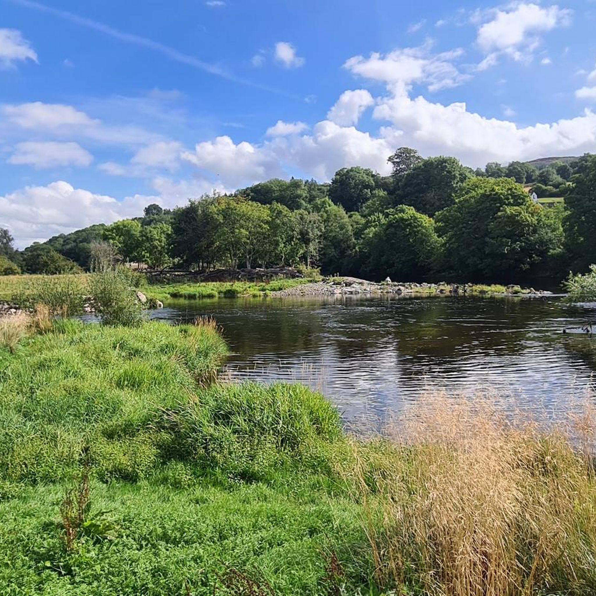
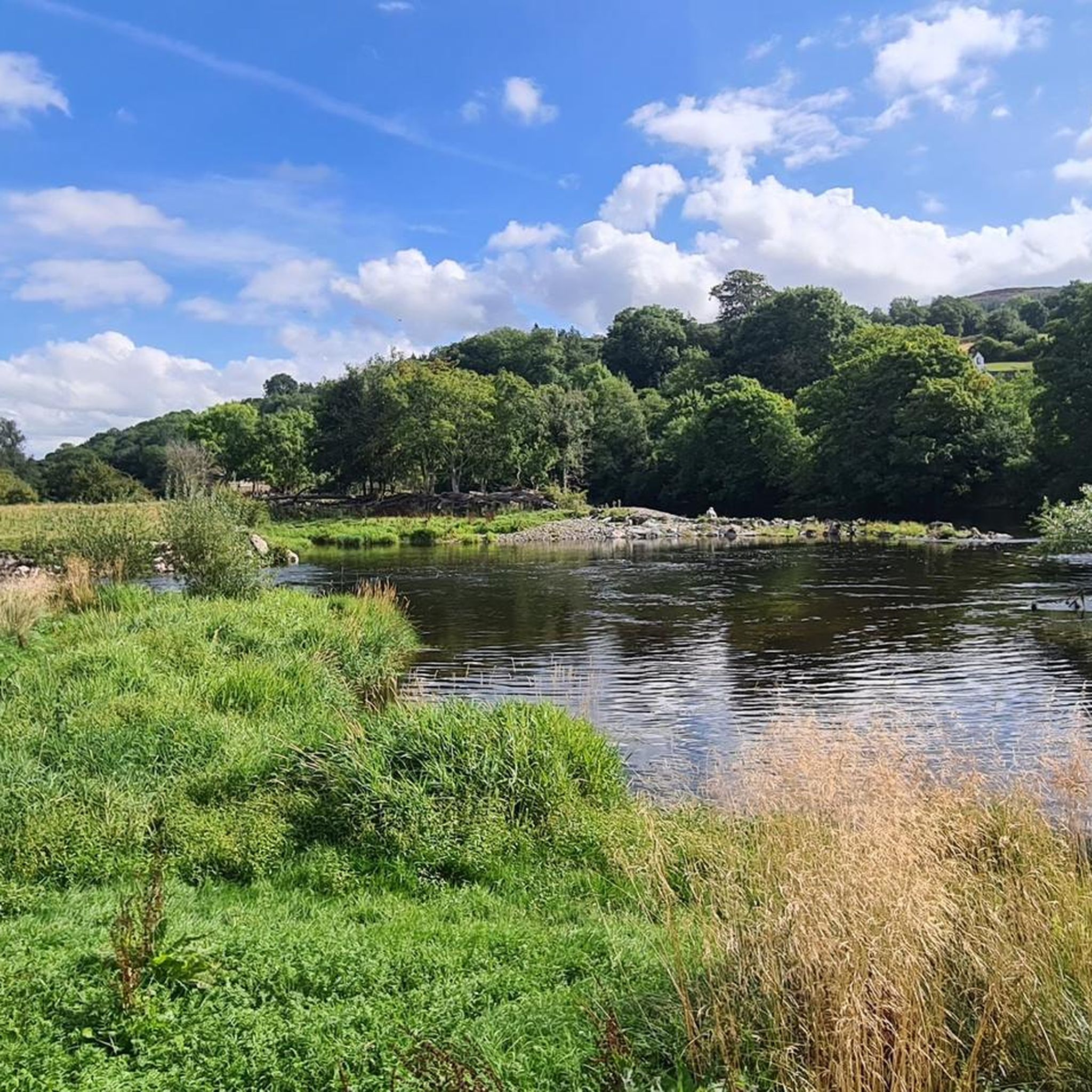
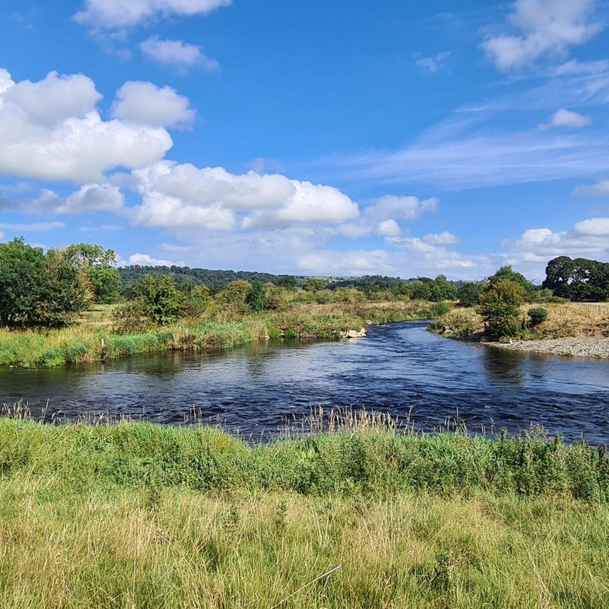
Tips from the Community


A former chapel, now stacked to the rafters with artefacts through the Ages, bringing the history of Corwen to life, ably supported by charming and knowledgeable guides.
0
0

The centre of Corwen with a good café and bakery.
0
0
A pretty little parish church
0
0
Small, fine museum with information about the place and the railway line
0
0

At 2,070 feet (630 m), Moel Fferna is the highest point in the Clwydian Range and Dee Valley Area of Outstanding Natural Beauty. However, it belongs to the wider Berwyn Range, which reaches its apex on Cadair Berwyn to the southwest. It's possible to link both on a long walk, along with other summits in the range. The Dee Valley is a good base for hikes to Moel Fferna, with plenty of accommodation options and places to eat and drink.
2
0

Moel Fferna is a mountain in Denbighshire, Wales and forms part of the Berwyn range. It is the most northern outpost of the range. The summit is covered in deep heather and has a shelter cairn. A trig point used to mark the summit, but has since been destroyed. To the south is Pen Bwlch Llandrillo, followed by Cadair Bronwen. It is a UK listed Nuttall.
2
0
Frequently Asked Questions
How many hiking trails are available around Cynwyd?
There are over 60 hiking trails around Cynwyd, offering a diverse range of experiences. These routes have been explored by over 1900 hikers using komoot, with an average rating of 4.5 stars from over 250 reviews.
Are there easy hiking trails suitable for beginners or casual walkers in Cynwyd?
Yes, Cynwyd offers 13 easy hiking trails. The area's converted rail-trails, like the Cynwyd Heritage Trail, provide accessible paths with both paved and soft surfaces, ideal for a relaxed stroll. These trails often feature scenic stops and interpretive signs.
What kind of landscapes and natural features can I expect to see while hiking in Cynwyd?
Hikers in Cynwyd can enjoy panoramic views of the Schuylkill River and the Manayunk neighborhood, especially from the Cynwyd Heritage Trail. The area also features natural meadows, which are home to various grasses, flowers, and wildlife. For those seeking more rugged natural beauty, the nearby Wissahickon Valley Park offers forested gorges and challenging terrain.
Are there any circular hiking routes in Cynwyd?
Yes, many routes in Cynwyd are circular. For example, the Corwen Reservoir – Corwen Town Square loop from Cynwyd is a moderate 8.9-mile trail that offers varied terrain and takes about 4 hours to complete. Another option is the Corwen Town Square – Parking Lot loop from Cynwyd, an 8.3-mile moderate route.
Can I find any waterfalls or significant natural monuments near Cynwyd?
Yes, the region around Cynwyd features several notable natural monuments and viewpoints. You can explore highlights such as Horseshoe Falls and Pistyll Rhaeadr, both offering impressive natural beauty. For panoramic views, consider visiting Moel Fferna or Cadair Bronwen Summit Cairn.
Are there any historical sites or landmarks to explore along the hiking trails?
The Cynwyd Heritage Trail itself is rich in history, with interpretive signs detailing the area's past, including former train stations and an old cotton mill. The trail also connects to historical sites like the West Laurel Hill Cemetery and Westminster Cemetery, offering a unique blend of natural beauty and historical context.
What is the average length and duration of hikes in Cynwyd?
Hikes in Cynwyd vary in length and duration. Many moderate trails, like the Corwen Town Square – Corwen Railway Station loop from Corwen, are around 9 miles long and can take approximately 4 hours. Shorter options, such as the Corwen Town Square – Corwen Reservoir loop from Corwen, are about 5.7 miles and can be completed in under 3 hours.
Are there any challenging hikes for experienced trekkers in the Cynwyd area?
Yes, for more experienced trekkers, there are 14 difficult trails available. The Corwen Reservoir – Moel Fferna loop from Corwen is a challenging 11.6-mile route with significant elevation gain, taking over 5 hours to complete. Additionally, the nearby Wissahickon Valley Park offers rugged trails and wooded slopes for those seeking a greater challenge.
What makes hiking in Cynwyd unique compared to other regions?
Cynwyd's hiking experience is unique due to its well-maintained rail-to-trail system, particularly the Cynwyd Heritage Trail, which offers accessible paths and scenic river views. Its crucial role as a connector to the broader Circuit Trails and Schuylkill River Trail networks allows for extensive exploration, blending historical intrigue with diverse natural beauty.
What do other hikers enjoy most about the trails in Cynwyd?
The trails in Cynwyd are highly rated by the komoot community, with an average score of 4.5 stars. Hikers often praise the area's well-maintained paths, the scenic views of the Schuylkill River, and the unique blend of natural beauty with historical elements found along routes like the Cynwyd Heritage Trail. The connectivity to wider trail networks is also a frequently appreciated aspect.
Most popular attractions around Cynwyd

Get inspired with the komoot mobile app


Explore more
Browse the best Hikes in other regions.
