The best running trails around Betws Gwerfil Goch
89
runners
26
runs
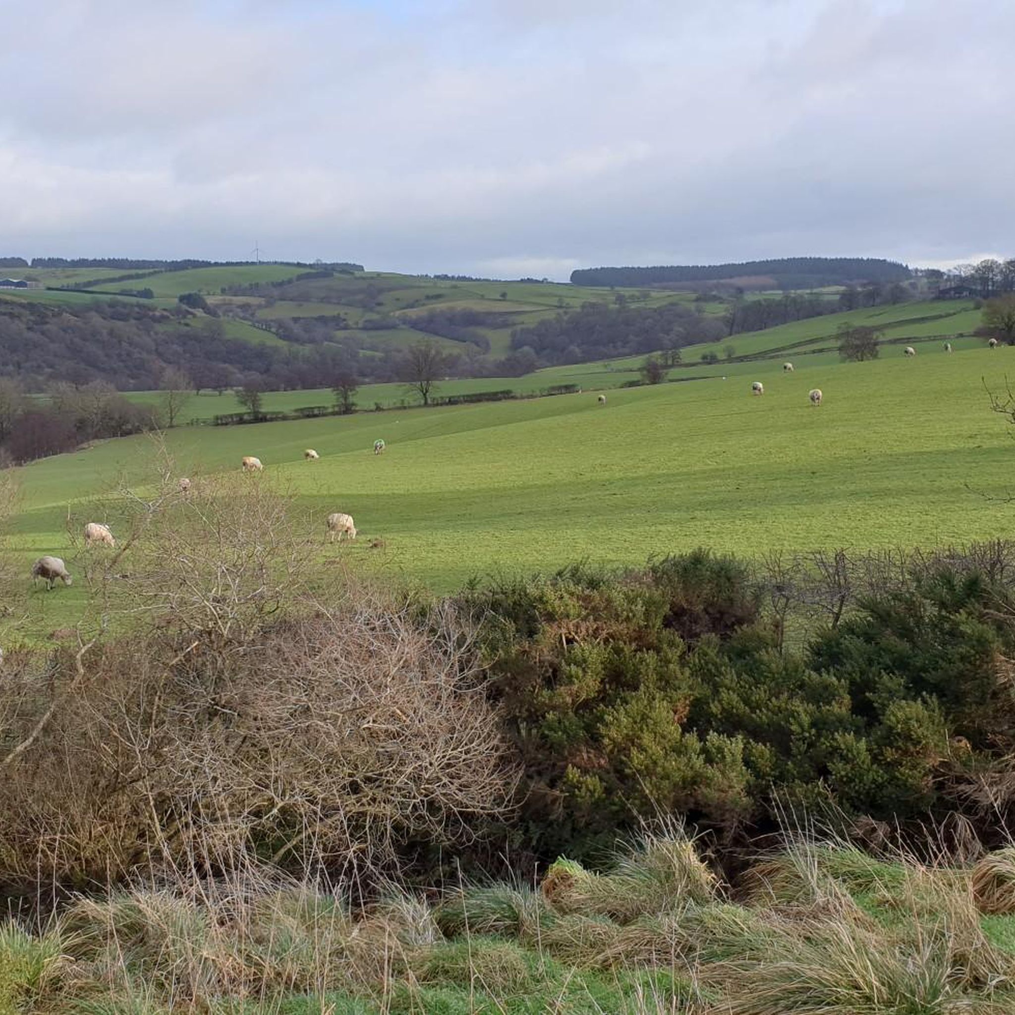
Jogging around Betws Gwerfil Goch offers varied terrain within a steep, U-shaped valley. The area is characterized by surrounding hills, the River Alwen, and rolling countryside. Joggers can explore established paths near the village and trails around Llyn Brenig, which is a short distance away. The region's average elevation of 297 meters, with a maximum of 474 meters, provides diverse running conditions.
Best jogging routes around Betws Gwerfil Goch
- The most popular jogging route is Alwen Reservoir – Tai-isaf loop…
Last updated: June 26, 2026
8
runners
15.6km
01:54
470m
470m
Hard run. Very good fitness required. Mostly paved surfaces. Suitable for all skill levels.
7
runners
9.11km
00:57
80m
80m
Moderate run. Good fitness required. Mostly paved surfaces. Suitable for all skill levels.

Sign up for free
10
runners
4.39km
00:31
10m
10m
Easy run. Great for any fitness level. Mostly paved surfaces. Suitable for all skill levels.
6
runners
9.23km
01:00
140m
140m
Moderate run. Good fitness required. Mostly paved surfaces. Suitable for all skill levels.
5
runners
7.80km
00:50
100m
100m
Moderate run. Good fitness required. Mostly paved surfaces. Suitable for all skill levels.
Get access to more routes and recommendations from other explorers.
Sign up for free
Already have an account?
Our route recommendations are based on thousands of hikes, rides, and runs completed by other people on komoot.
Start today with a free account
Your next adventure awaits.
Login or Signup
Tips from the Community


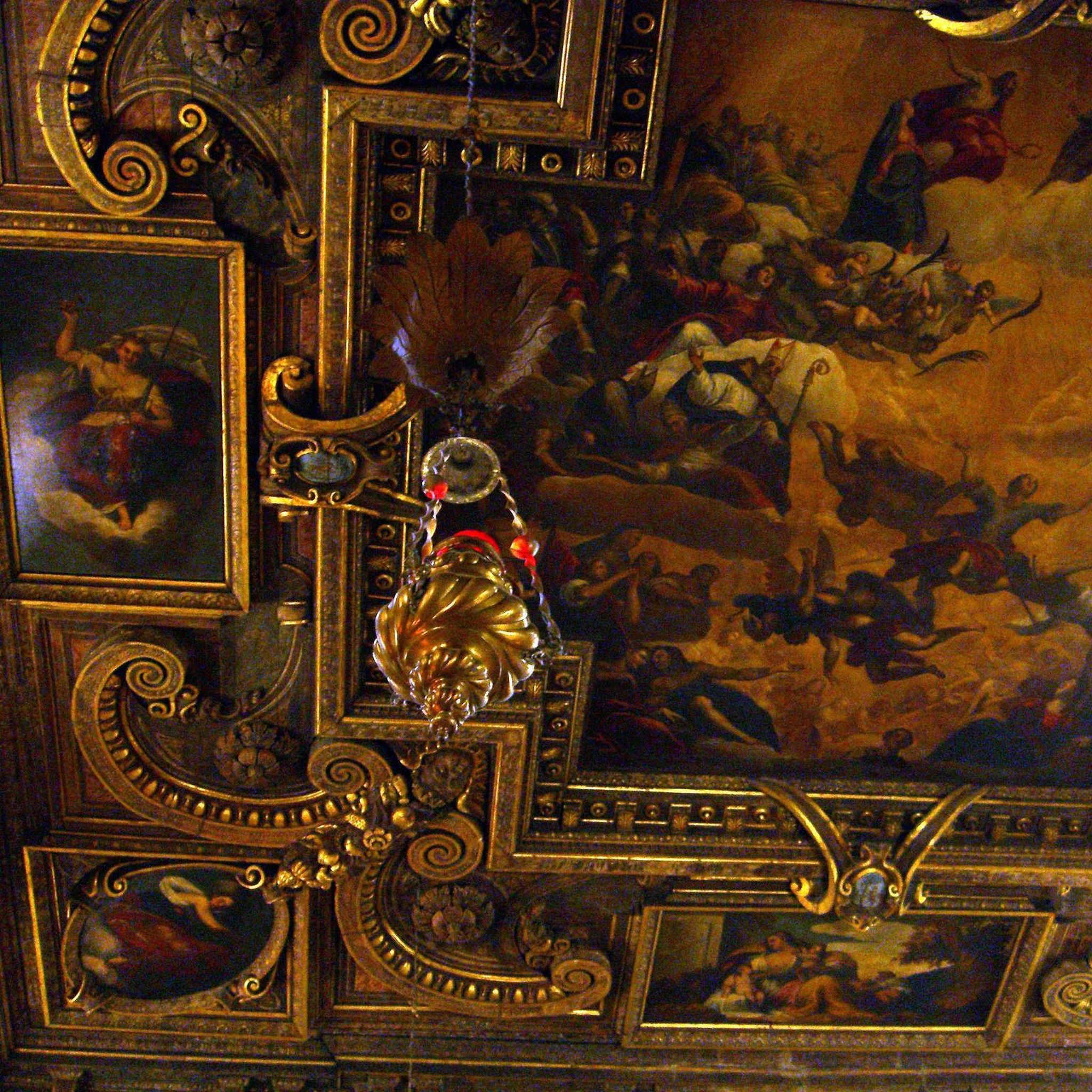
A former chapel, now stacked to the rafters with artefacts through the Ages, bringing the history of Corwen to life, ably supported by charming and knowledgeable guides.
0
0

The centre of Corwen with a good café and bakery.
0
0
A pretty little parish church
0
0

Was impassable with e-bikes, as the water the about 5 feet deep, would have damaged the electrics.Had to turn around and take the footpath back
0
0
Small, fine museum with information about the place and the railway line
0
0

Stunning views of the River Dee very pieceful and beautiful on a sunny day
1
0
The River Dee was the traditional boundary of the Kingdom of Gwynedd in Wales for centuries, possibly since its founding in the 5th century. It was recorded in the 13th century (in mainstream Middle English orthography, lacking the letters v and w) as flumen Dubr Duiu; the name appears to derive from the Brythonic dēvā: "River of the Goddess" or "Holy River". The river is personified as the war and fate goddess Aerfen. The river name inspired the name of Roman fortress Deva Victrix. It is the only river in the UK to be subject to a Water Protection Zone along its whole length down to Chester weir. It is a wonderful place for a stop, absolutely stunning
3
0
Frequently Asked Questions
How many running routes are available around Betws Gwerfil Goch?
There are over 25 dedicated running routes around Betws Gwerfil Goch, offering a variety of terrains and distances for all abilities.
Are there any easy jogging routes suitable for beginners or a relaxed run?
Yes, there are a couple of easy running routes. One excellent option is the River Dee Ford Crossing loop from Clawdd Poncen, which is approximately 4.4 km (2.7 miles) long and features minimal elevation gain, making it perfect for a gentle jog.
What kind of terrain can I expect on the running trails in this area?
The terrain around Betws Gwerfil Goch is quite varied. You'll find routes through a steep, U-shaped valley, surrounded by hills, offering both inclines and descents. Many trails follow established paths near the village, while others, like those around Llyn Brenig, feature more open, scenic views. Some routes, particularly those on scenic back roads, might have gravelly surfaces, appealing to trail runners.
Are there any circular running routes around Betws Gwerfil Goch?
Yes, many of the routes are circular, allowing you to start and finish in the same location. A popular choice is the Alwen Reservoir – Tai-isaf loop from Alwen Dam, which is 11.1 km (6.9 miles) and offers beautiful reservoir views.
What are some interesting landmarks or natural features I might see while running?
The area boasts several notable features. You can run alongside the scenic River Dee and Stone Bridge, or enjoy the tranquil waters of Llyn Brenig, a large reservoir with a visitor centre. Other points of interest include the Wayfarer Memorial Traverse and various viewpoints like Foel Goch summit.
Are there any running routes suitable for families with children?
While specific 'family-friendly' routes are not explicitly categorized, the easier, shorter loops with less elevation gain would be most suitable. The River Dee Ford Crossing loop from Clawdd Poncen is a good option due to its relatively flat and short distance.
Can I bring my dog on the running trails?
Many trails in the Betws Gwerfil Goch area, especially those around Llyn Brenig and within Clocaenog Forest, are generally dog-friendly. However, it's always recommended to keep dogs on a lead, particularly near livestock or in nature reserve areas, and to check local signage for any specific restrictions.
Where can I find parking for the running trails?
Parking is available at key trailheads. For routes around Llyn Brenig, the Visitor Centre typically offers parking facilities. For other routes, such as those near Corwen, you may find parking in the town or designated lay-bys. Always check specific route details for recommended parking spots.
What is the best time of year to go jogging in Betws Gwerfil Goch?
The rolling countryside and varied terrain make Betws Gwerfil Goch enjoyable for jogging throughout much of the year. Spring and autumn offer pleasant temperatures and beautiful scenery. Summer can be warm but is ideal for longer runs, while winter runs can be invigorating, though some higher elevation paths might be more challenging due to weather conditions.
Are there any amenities like cafes or pubs near the running routes?
While Betws Gwerfil Goch is a small village, the nearby town of Corwen offers a selection of cafes, pubs, and accommodation options. The Llyn Brenig Visitor Centre also provides facilities, including a cafe, which is convenient for runners exploring routes around the reservoir.
What do other runners enjoy most about jogging in Betws Gwerfil Goch?
The komoot community highly rates the running experience in Betws Gwerfil Goch. Runners often praise the varied terrain, from tranquil valleys to challenging hills, and the stunning natural beauty, particularly around the River Alwen and Llyn Brenig. The sense of seclusion and connection with nature are frequently highlighted.
Is public transport available to access the running trails?
Public transport options directly to Betws Gwerfil Goch are limited due to its secluded location. However, bus services may connect to nearby larger towns like Corwen, from where some running routes, such as the Corwen Railway Station – Corwen Town Square loop from Corwen, are accessible. Planning your journey in advance is recommended.
Most popular attractions around Betws Gwerfil Goch

Get inspired with the komoot mobile app


Explore more
Browse the best Running Trails & Routes in other regions.
