The best walks and hikes around Betws Yn Rhos
4.5
(635)
7,207
hikers
325
hikes
Hiking around Betws Yn Rhos offers a diverse landscape for outdoor exploration. The region, situated in North Wales, features a mix of coastal paths, rolling hills, and rural countryside. Trails often traverse open fields, quiet lanes, and provide views towards the Irish Sea. The terrain generally includes moderate ascents and descents, characteristic of the Welsh lowlands.
Best hiking trails around Betws Yn Rhos
- The most popular hiking route is Cave Entrance in North Wales – Castell Cawr loop from Abergele, an easy 3.4 miles (5.5 km) trail that takes about 1 hour 40 minutes to complete. This route explores varied countryside with historical points of interest.
- Another top favourite among local hikers is Abergele Beach Walk – View of Stone Gate and Wall loop from Betws-yn-Rhos, a moderate 8.9 miles (14.3 km) path. This trail offers a combination of coastal views and inland paths.
- Local hikers also love the Llanddulas Beach – Abergele Beach Walk loop from Llanddulas, a 9.2 miles (14.8 km) trail leading through coastal areas and rural landscapes, often completed in about 4 hours 10 minutes.
- Hiking around Betws Yn Rhos is defined by coastal paths, rolling hills, and rural countryside. The network offers options for different ability levels, from easy walks to more challenging routes.
- The routes in Betws Yn Rhos are highly rated by the komoot community with an average score of 4.5 stars from over 600 reviews. More than 7000 hikers have used komoot to explore Betws Yn Rhos's varied terrain.
Last updated: May 11, 2026
4.7
(9)
46
hikers
5.51km
01:39
170m
170m
Easy hike. Great for any fitness level. Easily-accessible paths. Suitable for all skill levels.
4.6
(5)
20
hikers
14.3km
03:54
200m
200m
Moderate hike. Good fitness required. Easily-accessible paths. Suitable for all skill levels.

Sign up for free
4.7
(6)
22
hikers
14.8km
04:07
260m
270m
Moderate hike. Good fitness required. Easily-accessible paths. Suitable for all skill levels.
28
hikers
19.2km
05:00
130m
130m
Hard hike. Very good fitness required. Easily-accessible paths. Suitable for all skill levels.
15
hikers
15.8km
04:10
130m
130m
Moderate hike. Good fitness required. Easily-accessible paths. Suitable for all skill levels.
Get access to more routes and recommendations from other explorers.
Sign up for free
Already have an account?
Our route recommendations are based on thousands of hikes, rides, and runs completed by other people on komoot.
Start today with a free account
Your next adventure awaits.
Login or Signup
Tips from the Community

Colwyn Bay Beach is a golden, three-mile playground perfect for seaside strutting! With its sleek, modern promenade and soft sands, it’s a haven for: Watersports: Ideal for jet-skiing or kayaking. Relaxation: Plenty of space for sunbathing and sandcastles.
0
0

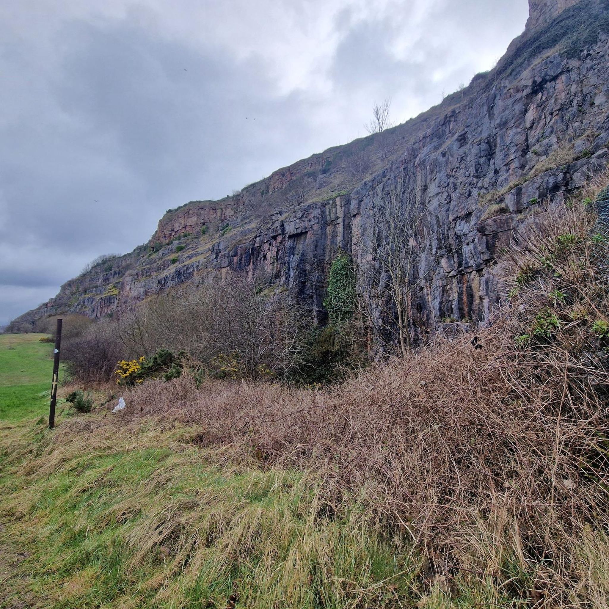
"Castell Cawr, or Tan-y-Gopa as it is known locally, is a heavily forested hill above the town of Abergele in North Wales. On it is found the Iron Age hill fort of Castell Cawr, which overlooks the River Clwyd. Rare lesser horseshoe bats inhabit caves on the hill. The woods are owned by the Woodland Trust. The hill rises to 189 m (620 ft) above sea level, with extensive views to Snowdonia and the Clwydian Range. Thomas Pennant visited the area in the 18th century, and noted the existence of the hillfort. In 1860, James Halliwell-Phillipps wrote that the outline of the hillfort was obscured by vegetation, and identified the workings of a Roman lead mine on the hillside. The Welsh knew these excavations by the name "Ffos-y-bleiddiaid" ("Ditch of the Wolves")" Source: https://en.m.wikipedia.org/wiki/Castell_Cawr
0
0

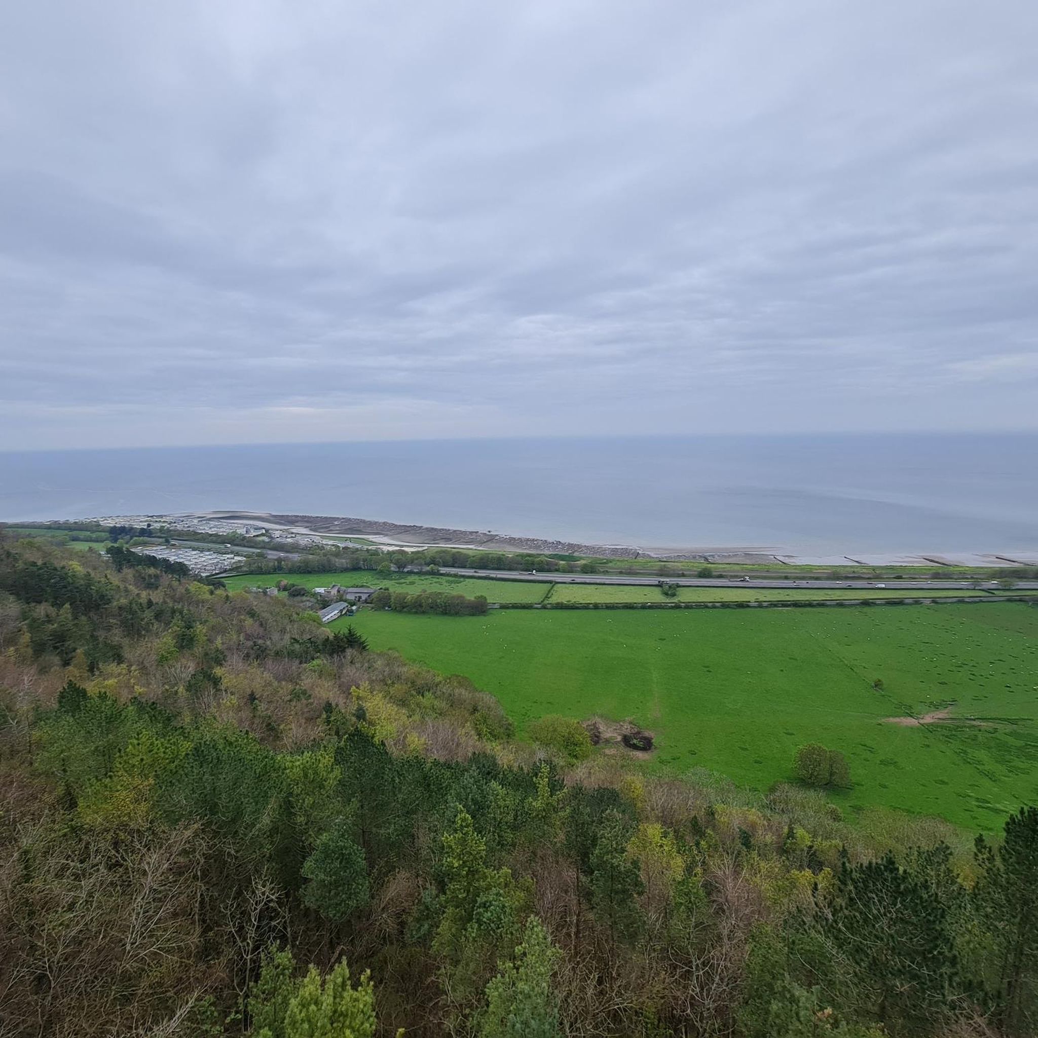
Easily accessible viewpoint
1
0

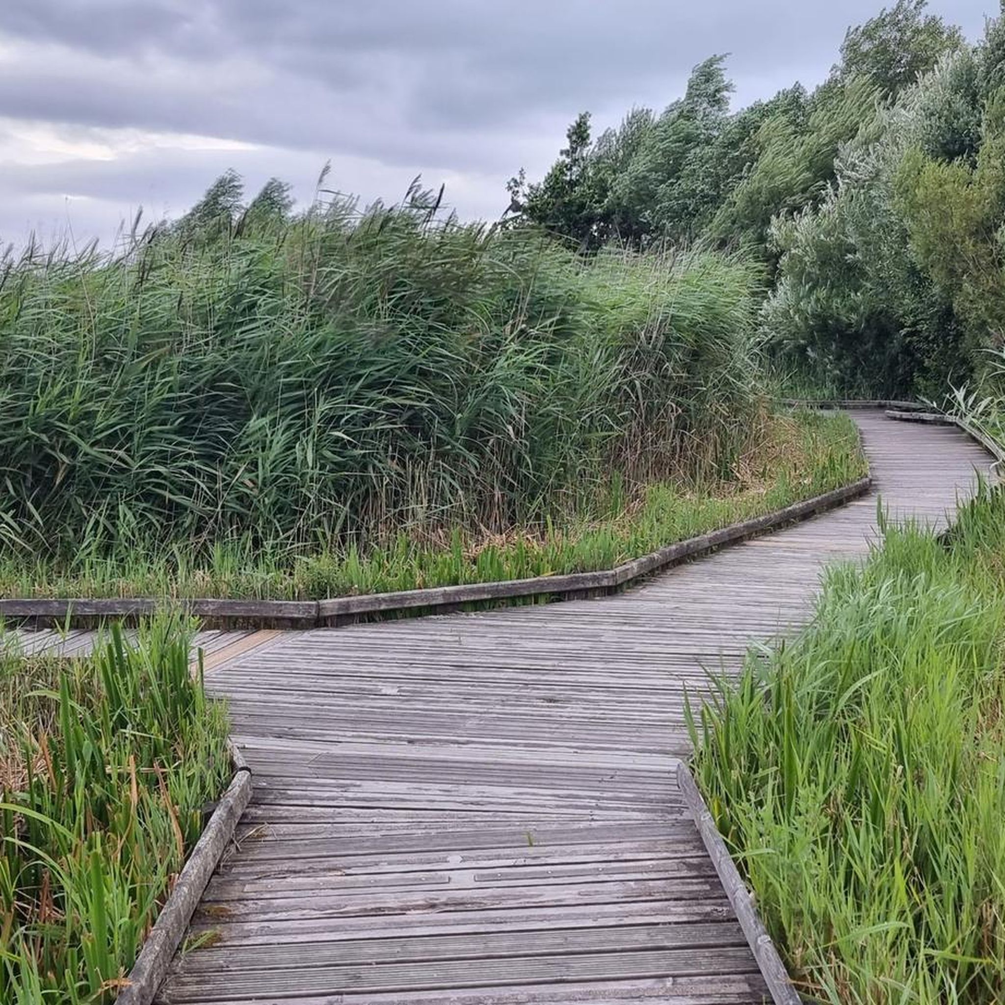
Beautiful spot crossing a small river on it way out to sea.
0
0

Rhos on Sea is described as neat, pristine and peaceful. There is a long seaside promenade and great views.
0
0

The name of this headland is an Anglo-Welsh tautology, since Penmaen means “stone head”. In 1399 the unpopular King Richard II (1367-1400) was ambushed here, as he returned to England from Ireland, by supporters of Henry Bolingbroke. After his capture, he was taken to Flint Castle and forced to surrender the crown to Bolingbroke, who became King Henry IV.
4
0
Nice to ride through and it has a local store if you need something 😀
4
0
There is a new section of path near Llanddulas which has a very steep hills it's only short but will definitely get your heart pumping. There is no sign of what gradient it is but I would say the first part 10% then it kicks up to about 15%
4
0
Frequently Asked Questions
How many hiking trails are available around Betws Yn Rhos?
There are over 330 hiking routes around Betws Yn Rhos, offering a wide variety of options for all skill levels.
Are there easy hiking trails suitable for beginners in Betws Yn Rhos?
Yes, Betws Yn Rhos offers over 160 easy hiking routes. An excellent option for beginners is the Cave Entrance in North Wales – Castell Cawr loop from Abergele, which is 3.4 miles (5.5 km) long and explores varied countryside with historical points of interest.
What kind of terrain can I expect on hikes around Betws Yn Rhos?
The region features a diverse landscape, including coastal paths, rolling hills, and rural countryside. Trails often traverse open fields and quiet lanes, providing views towards the Irish Sea. The terrain generally includes moderate ascents and descents, characteristic of the Welsh lowlands.
Are there any challenging hiking routes for experienced hikers?
Yes, for those seeking a more demanding experience, there are 20 difficult routes available. One such route is the Colwyn Bay Beach and Promenade – Colwyn Bay Beach loop from Llanddulas, which spans 12.3 miles (19.8 km) and offers a significant challenge.
What are some notable landmarks or attractions I can see while hiking?
The area boasts several interesting landmarks. You can explore historical sites like Castell Cawr or Caer Seion Hillfort (Conwy Mountain). For impressive views, consider visiting Great Orme Summit or Alltwen Hill.
Are there any castles to visit near the hiking trails?
Yes, the region is rich in historical castles. You can visit magnificent sites such as Conwy Castle, Rhuddlan Castle, or the intriguing Gwrych Castle, all within reach of the Betws Yn Rhos area.
What do other hikers enjoy most about hiking in Betws Yn Rhos?
The area is highly rated by the komoot community, with an average score of 4.5 stars from over 600 reviews. Hikers often praise the diverse landscape, which combines coastal views with rolling hills and rural countryside, offering something for every preference.
Are there any coastal walks around Betws Yn Rhos?
Yes, many routes incorporate coastal sections. The Llanddulas Beach – Abergele Beach Walk loop from Llanddulas is a popular choice, leading through coastal areas and rural landscapes. Another option is the Abergele Beach Walk – View of Stone Gate and Wall loop from Betws-yn-Rhos, which offers a combination of coastal views and inland paths.
What is the typical duration for hikes in this area?
Hikes in Betws Yn Rhos vary in length. Easy routes like the Cave Entrance in North Wales – Castell Cawr loop from Abergele can be completed in about 1 hour 40 minutes. Longer moderate trails, such as the Llanddulas Beach – Abergele Beach Walk loop from Llanddulas, typically take around 4 hours 10 minutes.
Are there any viewpoints along the trails in Betws Yn Rhos?
Yes, the region offers several excellent viewpoints. Highlights like Great Orme Summit and Alltwen Hill provide panoramic vistas of the surrounding landscape and the Irish Sea.
What is the best time of year to go hiking in Betws Yn Rhos?
The diverse landscape of Betws Yn Rhos is enjoyable throughout the year. Spring and summer offer lush greenery and warmer weather, ideal for coastal walks and enjoying the views. Autumn brings beautiful colours to the rolling hills, while winter can offer crisp, clear days, though some paths may be muddier.
Most popular attractions around Betws Yn Rhos

Get inspired with the komoot mobile app


Explore more
Browse the best Hikes in other regions.
