The best road cycling routes around Waunfawr
4.6
(53)
3,218
riders
152
rides
Road cycling routes around Waunfawr are situated near Snowdonia National Park, offering a diverse landscape for cyclists. The region features dramatic mountain scenery, wooded vales, and open moorland, providing varied terrain. Cyclists can expect rolling hills, forested slopes, and open meadows, with significant elevation changes across the network.
Best road cycling routes around Waunfawr
- The most popular road cycling route is Pen y Pass and Marchlyn Mawr climb loop from Llanberis, a 33.9 miles (54.6 km) trail that takes…
Last updated: November 7, 2026
4.7
(7)
202
riders
54.6km
02:57
1,000m
1,000m
Embark on the Pen y Pass and Marchlyn Mawr climb loop from Llanberis, a difficult road cycling route that challenges you with 3296 feet (1004 metres) of elevation gain. This…
5.0
(1)
192
riders
74.7km
03:40
910m
910m
The Brailsford Way loop from Caernarfon offers a challenging road cycling experience through Snowdonia National Park. This difficult 46.4-mile (74.7 km) route features varied terrain, from easy valley gradients to…

5.0
(2)
96
riders
Embark on the Drws y Coed from Caernarfon loop, a moderate road cycling adventure spanning 23.1 miles (37.1 km) with an elevation gain of 1307 feet (398 metres). You can…
4.3
(3)
375
riders
92.2km
04:33
1,320m
1,320m
Hard road ride. Very good fitness required. Mostly well-paved surfaces and easy to ride.
5.0
(1)
94
riders
30.7km
01:38
600m
600m
Moderate road ride. Good fitness required. Mostly well-paved surfaces and easy to ride.
Get access to more routes and recommendations from other explorers.
Already have an account?
Our route recommendations are based on thousands of hikes, rides, and runs completed by other people on komoot.
Start today with a free account
Your next adventure awaits.
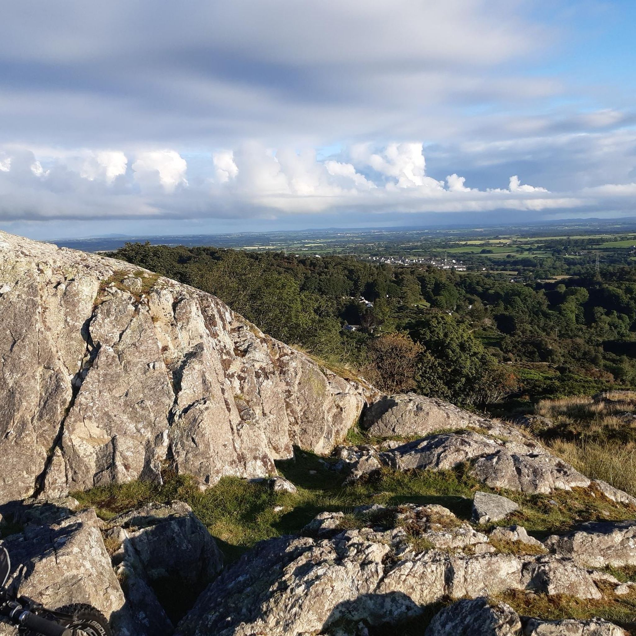
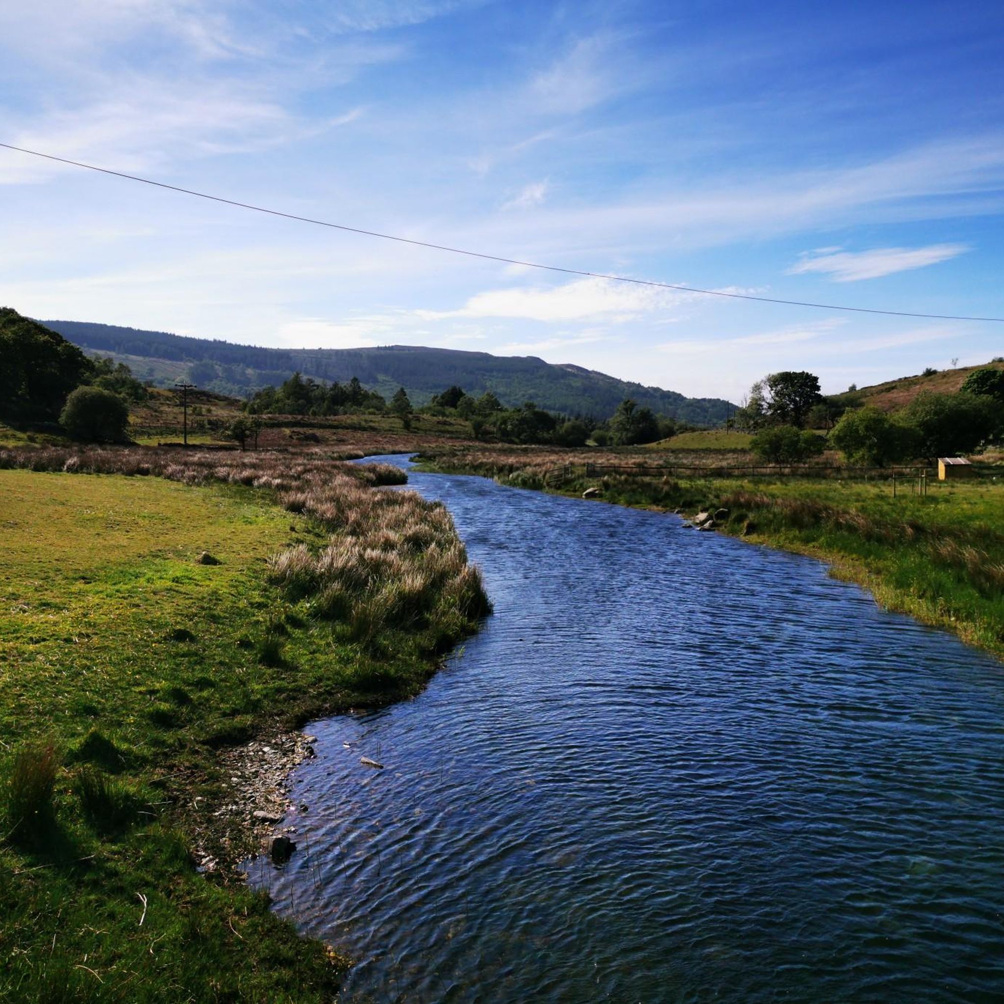
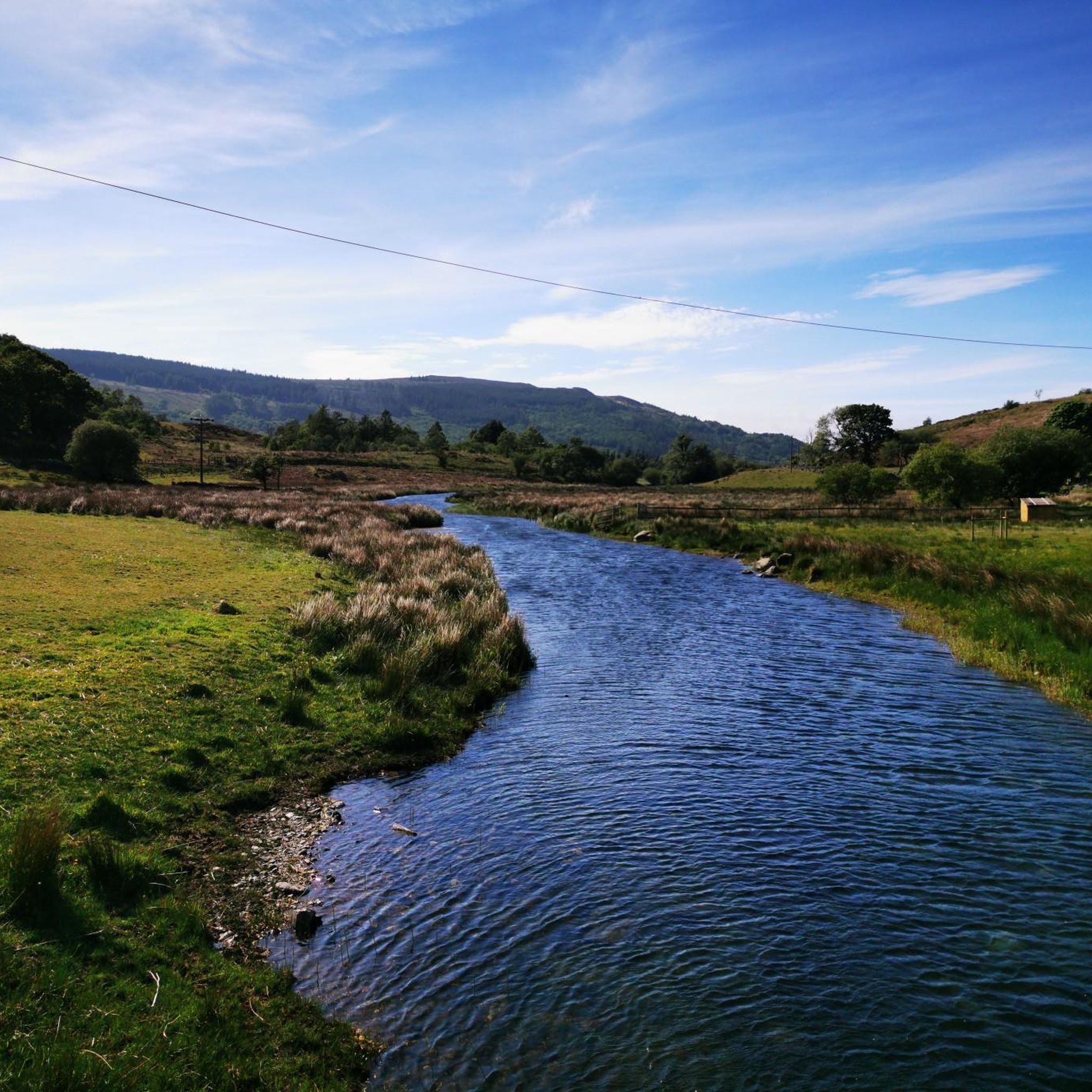
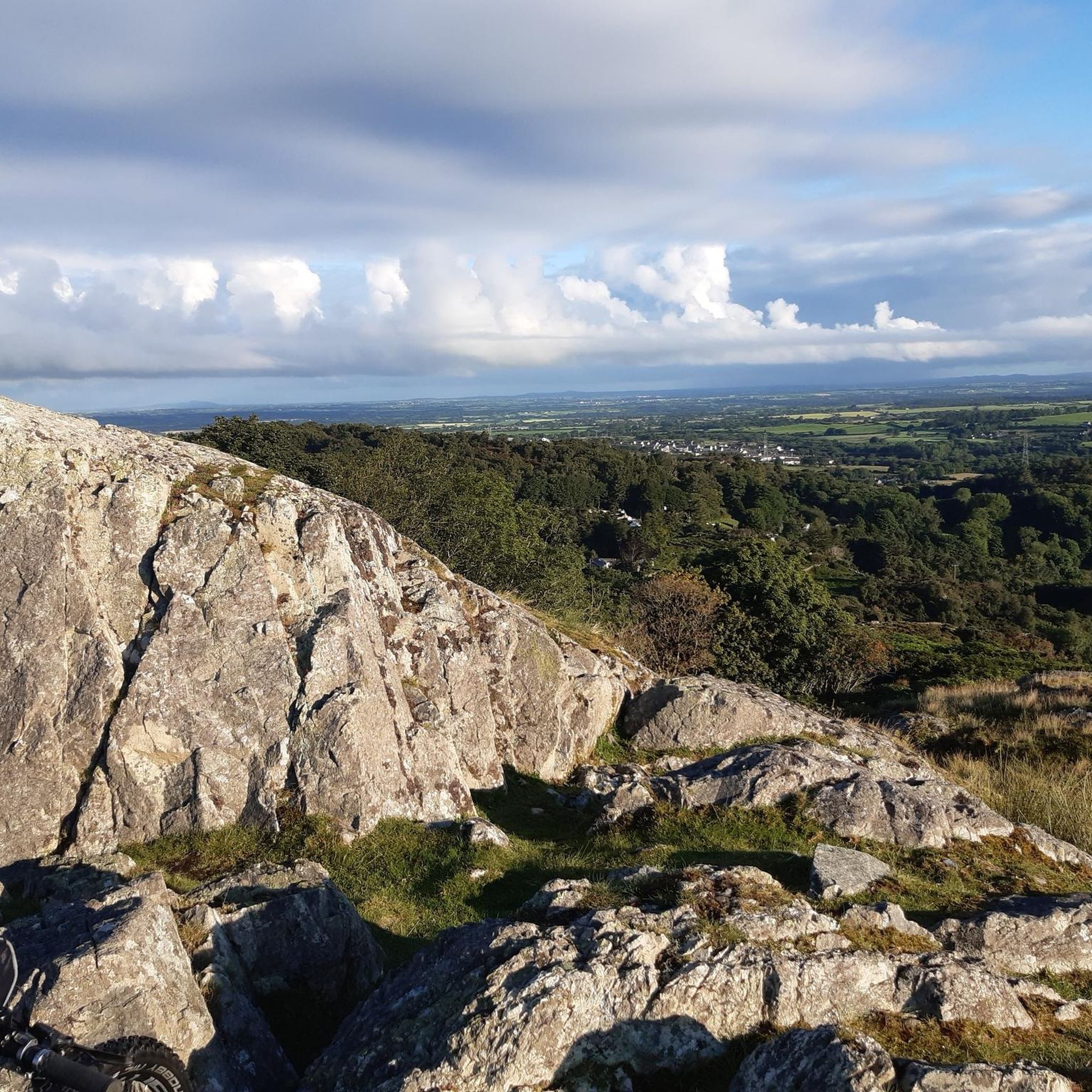
Tips from the Community


The bridge was probably built in the 17th century and then radically rebuilt and widened in 1795-1796. As with many older bridges, folk tales claimed that the bridge was built by the devil or by the Romans (which an investigation by the National Trust described as "very doubtful"). During the reconstruction, a stone was found with the inscription "W M 1656" scratched on it, suggesting that the bridge is at least that old. Pont Aberglaslyn is located near the downstream end of the Aberglaslyn Pass. Although the location is rocky and the river flows through rapids upstream, it is not far above sea level. (Wikipedia)
7
0


Nice steady climb from the Beddgelert side, kicks up in a couple of sections but nothing too stressful. Well worth a visit
0
0
Frequently Asked Questions
What kind of terrain can I expect when road cycling near Waunfawr?
Road cycling around Waunfawr offers a diverse landscape, ranging from dramatic mountain scenery to wooded vales and open moorland. You'll encounter rolling hills, forested slopes, and open meadows, with significant elevation changes, especially as you approach Snowdonia National Park.
How many road cycling routes are available around Waunfawr?
There are over 160 road cycling routes around Waunfawr, catering to various skill levels. This includes 60 easy routes, 89 moderate routes, and 13 difficult routes, ensuring options for everyone from beginners to experienced riders.
What are the difficulty levels of road cycling routes around Waunfawr?
The routes around Waunfawr offer a range of difficulties. You can find 60 easy routes for a relaxed ride, 89 moderate routes for a bit more challenge, and 13 difficult routes for experienced cyclists seeking substantial climbs and longer distances.
What do other road cyclists enjoy most about road cycling in Waunfawr?
The road cycling routes around Waunfawr are highly rated by the komoot community, with an average score of 4.6 stars from over 40 reviews. More than 3,400 road cyclists have explored the varied terrain, often praising the stunning mountain views and the diverse landscapes within Snowdonia National Park.
Are there any challenging road cycling routes for experienced riders?
Yes, Waunfawr offers several challenging routes for experienced road cyclists. For instance, the Pen y Pass and Marchlyn Mawr climb loop from Llanberis is a difficult 33.9-mile (54.6 km) trail with substantial climbs. Another demanding option is the Brailsford Way loop from Caernarfon, a 46.4-mile (74.7 km) path traversing varied landscapes within Snowdonia National Park.
What natural features or landmarks can I see along the road cycling routes?
Many routes offer views of significant natural features. You can often see Snowdon and other mountains like Mynydd Mawr and Moel Eilio. The region also features lakes such as Llyn Llydaw and Glaslyn, and the Afon Gwyrfai river. Notable summits like Snowdon Summit (Yr Wyddfa) and Glyder Fach summit are also visible from various points.
Are there family-friendly road cycling options around Waunfawr?
While many routes feature significant elevation changes, there are easier options suitable for families. The region includes dedicated cycleways like parts of the Lôn Eifion Cycleway, which offer more accessible cycling with local scenery. Look for the 60 easy-rated routes on komoot for gentler rides.
Is there parking available for cyclists in Waunfawr?
Waunfawr and its surrounding areas, being a popular base for outdoor activities, typically offer parking facilities. For specific route starting points, it's advisable to check the individual route descriptions on komoot for detailed parking information.
Can I reach Waunfawr by public transport for cycling?
Yes, Waunfawr is situated on the Welsh Highland Railway, which provides convenient access to other scenic areas like Rhyd Ddu and Beddgelert. This makes it possible to combine cycling with public transport for exploring the wider Snowdonia region.
Are there circular road cycling routes in Waunfawr?
Many of the road cycling routes around Waunfawr are designed as loops, allowing you to start and finish in the same location. Examples include the Drws y Coed from Caernarfon loop and the Llyn Cwellyn – Pont Aberglaslyn loop from Cwm-y-glo.
Where can cyclists find amenities like cafes or pubs along the routes?
The villages and towns surrounding Waunfawr, such as Llanberis, Caernarfon, and Beddgelert, are well-equipped with amenities for visitors. Many routes pass through or near these settlements, offering opportunities to stop at cafes, pubs, and other services. The village of Waunfawr itself also provides local facilities.
What is the best time of year for road cycling in Waunfawr?
The diverse terrain of Waunfawr and Snowdonia can be enjoyed throughout the year, but spring and autumn often offer pleasant temperatures and stunning scenery with fewer crowds. Summer provides longer daylight hours, while winter can be challenging due to weather conditions and potential road closures in higher elevations.
Most popular attractions around Waunfawr

Get inspired with the komoot mobile app


Explore more
Browse the best Road cycling routes in other regions.
