The best running trails around Llanfihangel-Y-Pennant
4.7
(15)
2,004
runners
138
runs
Jogging around Llanfihangel-Y-Pennant offers routes through a landscape dominated by the foothills of Cadair Idris in Gwynedd, Wales. The region features dramatic terrain, including river valleys, steep mountain paths, and rocky outcrops. Glacial lakes, such as Llyn Cau, are nestled below the main ridges, adding to the area's natural beauty. These varied physical features provide a challenging environment for trail running and jogging enthusiasts.
Best jogging routes around Llanfihangel-Y-Pennant
- The most popular jogging route is Minffordd Path Cadair Idris Loop, a 5.8 miles (9.4 km) trail that takes 2 hours 1 minute to complete. This route offers a challenging ascent towards the summit of Cadair Idris.
- Another top favourite among local runners is Stile on the Mynydd Moel Path – Cadair Idris summit loop from Cader Idris National Nature Reserve, a difficult 13.6 miles (22.0 km) path. This extensive loop explores the summit area within a designated National Nature Reserve.
- Local runners also love the Cadair Idris summit loop from Mach loop west car park, a 8.8 miles (14.2 km) trail leading through mountainous terrain, often completed in about 2 hours 40 minutes.
- Jogging around Llanfihangel-Y-Pennant is defined by majestic mountain landscapes, deep river valleys, and challenging rocky outcrops. The network offers options for different ability levels, though many routes are considered difficult.
- The routes in Llanfihangel-Y-Pennant are highly rated by the komoot community with an average score of 4.4 stars from 7 reviews. More than 1000 runners have used komoot to explore Llanfihangel-Y-Pennant's varied terrain.
Last updated: July 7, 2026
175
runners
9.36km
02:01
790m
790m
The Minffordd Path Cadair Idris Loop offers a difficult jogging challenge, covering 5.8 miles (9.4 km) with a significant elevation gain of 2601 feet (793 metres). You can expect to complete this demanding route in about 2 hours and 1 minute. As you ascend, you'll pass through ancient woodlands and alongside the impressive waterfalls of Nant Cadair Gorge. The trail then circles the stunning glacial lake of Llyn Cau, nestled dramatically within a bowl-shaped depression. From higher up, panoramic views stretch across Eryri National Park, making the effort worthwhile.
Be prepared for a very steep initial ascent on the Minffordd Path, which features rugged and uneven ground. This includes sections of loose scree and numerous steep steps, so sure-footedness is essential. While some parts might be runnable, many sections will require walking due to the gradient and technical terrain. A good level of fitness is crucial for tackling this difficult loop. Consider starting early to allow ample time and to enjoy the views before crowds gather.
Cadair Idris is a mountain steeped in Welsh mythology, often associated with a giant or a sleeping dragon. The name itself translates to "Idris's Chair," referring to a mythical giant. The dramatic landscape, shaped by glacial activity, contributes to the unique character of the trail, particularly around Llyn Cau. This route provides a memorable experience of one of Eryri National Park's most iconic peaks.
77
runners
Hard run. Very good fitness required. Sure-footedness, sturdy shoes and alpine experience required.

Sign up for free
80
runners
Hard run. Very good fitness required. Sure-footedness, sturdy shoes and alpine experience required.
5.0
(1)
40
runners
Hard run. Very good fitness required. Sure-footedness, sturdy shoes and alpine experience required.
27
runners
Hard run. Very good fitness required. Sure-footedness, sturdy shoes and alpine experience required.
Get access to more routes and recommendations from other explorers.
Sign up for free
Already have an account?
Our route recommendations are based on thousands of hikes, rides, and runs completed by other people on komoot.
Start today with a free account
Your next adventure awaits.
Login or Signup
Popular around Llanfihangel-Y-Pennant
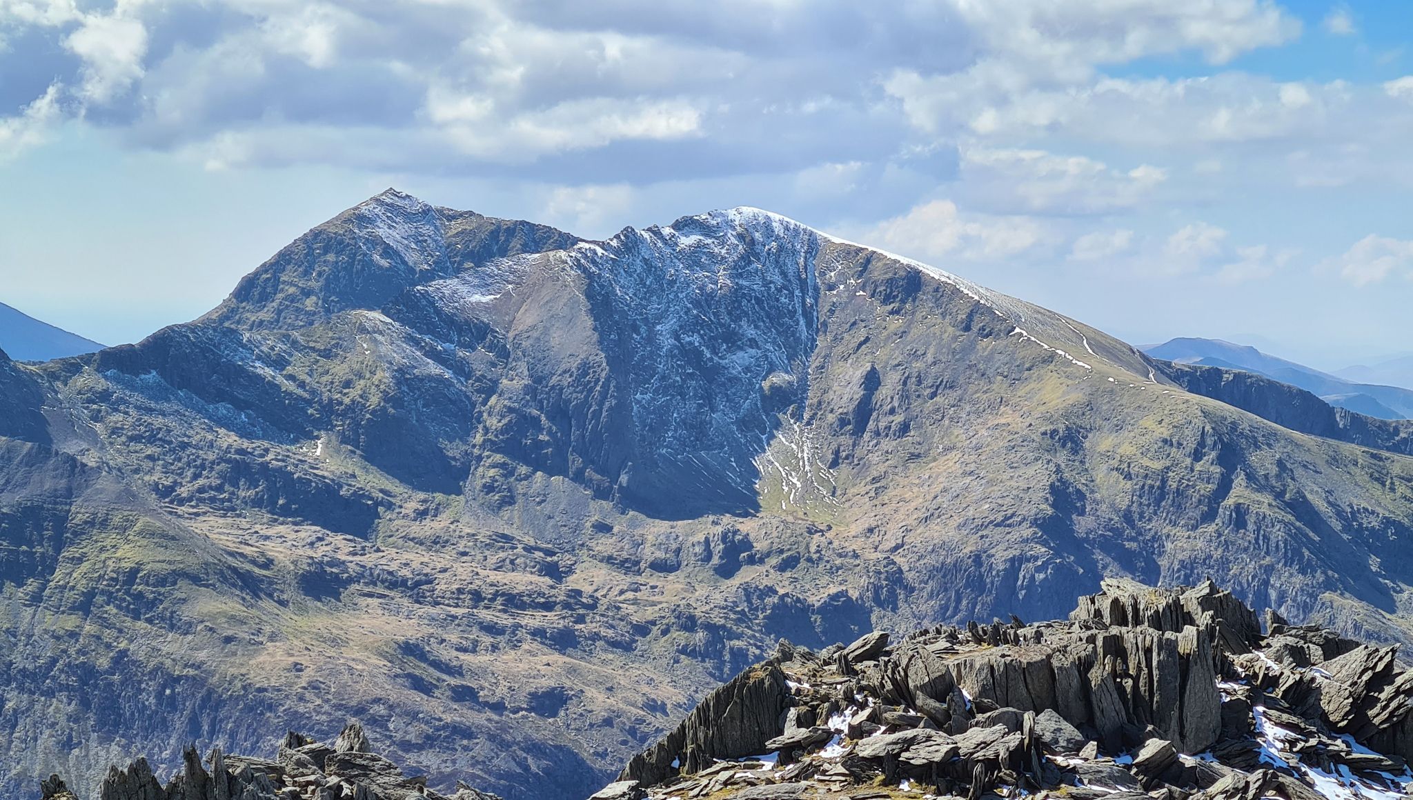
Snowdonia Way Mountain Route – Rise to Eryri's awesome summits

O Fon i Fynwy — Exploring Wales on foot from top to bottom

Cambrian Way — Hike the highest, wildest and most beautiful trail in Wales
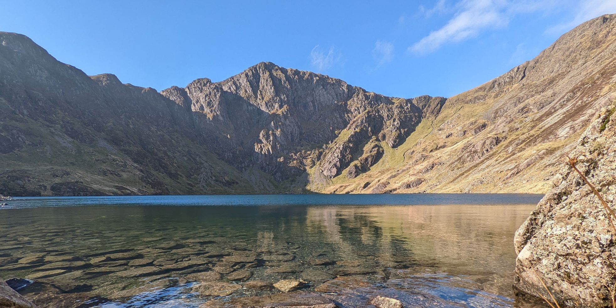
Hike Wales’ silent giants — Southern Eryri (Snowdonia)
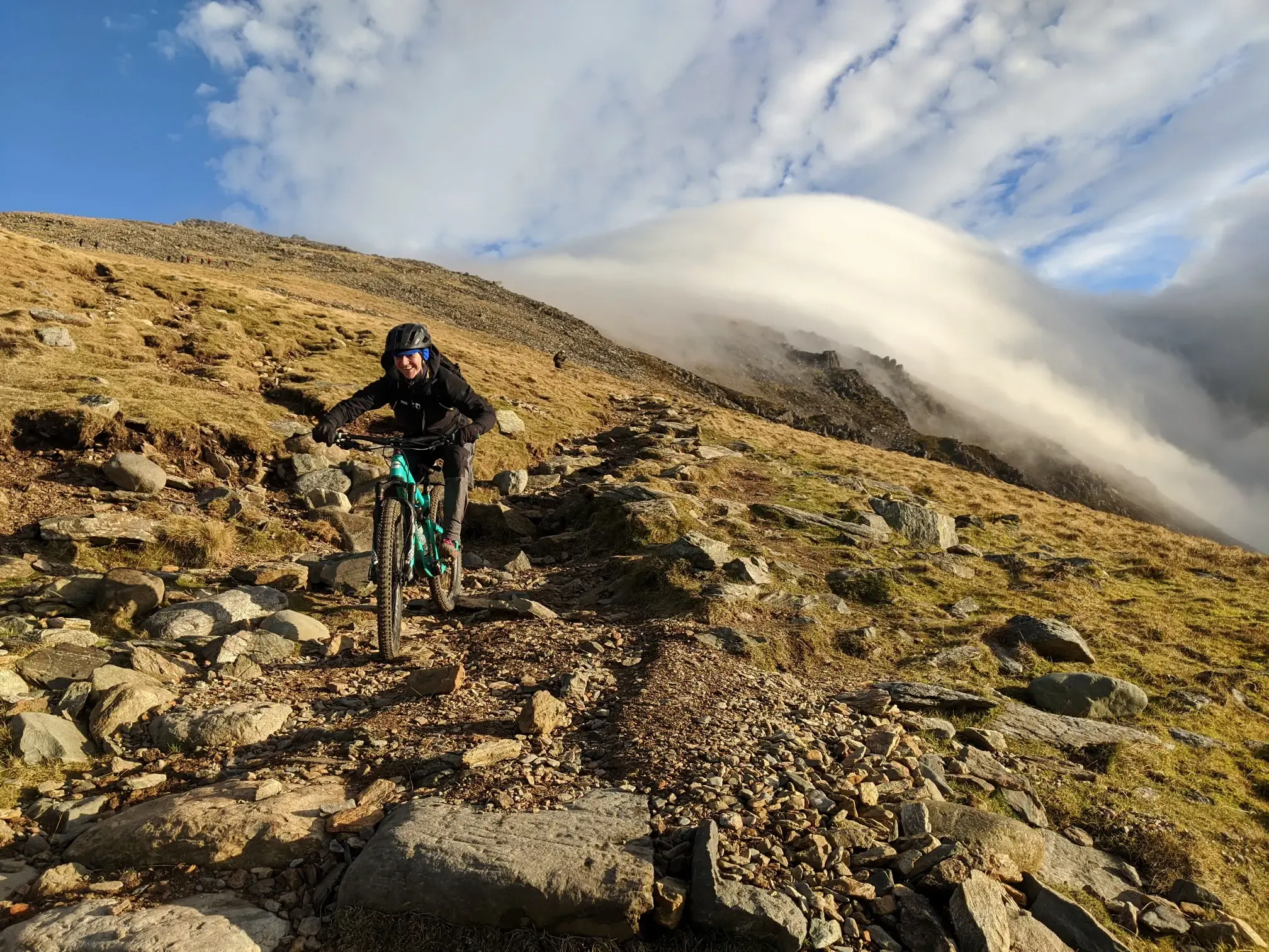
North Wales mountain biking — Gogledd Cymru's finest
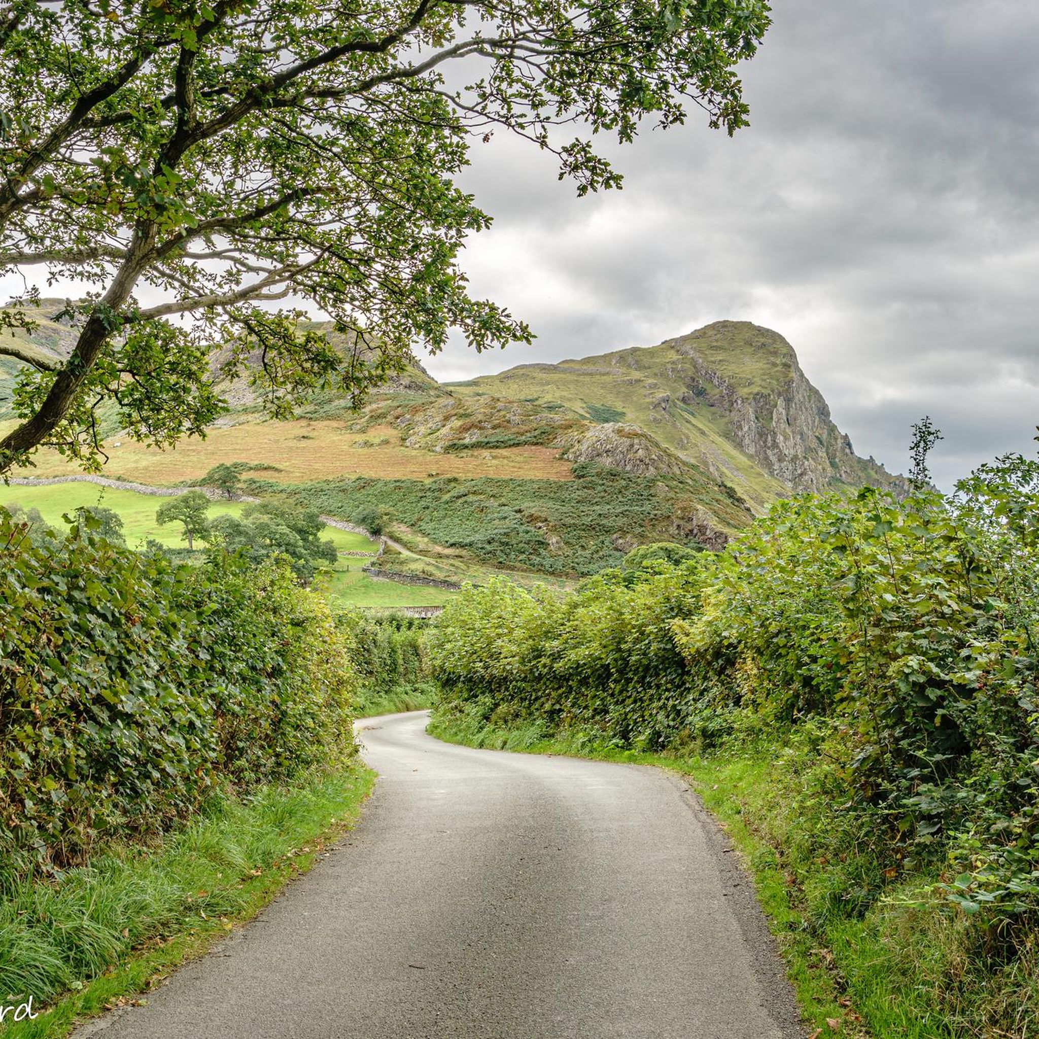
Hiking around Llanfihangel-Y-Pennant
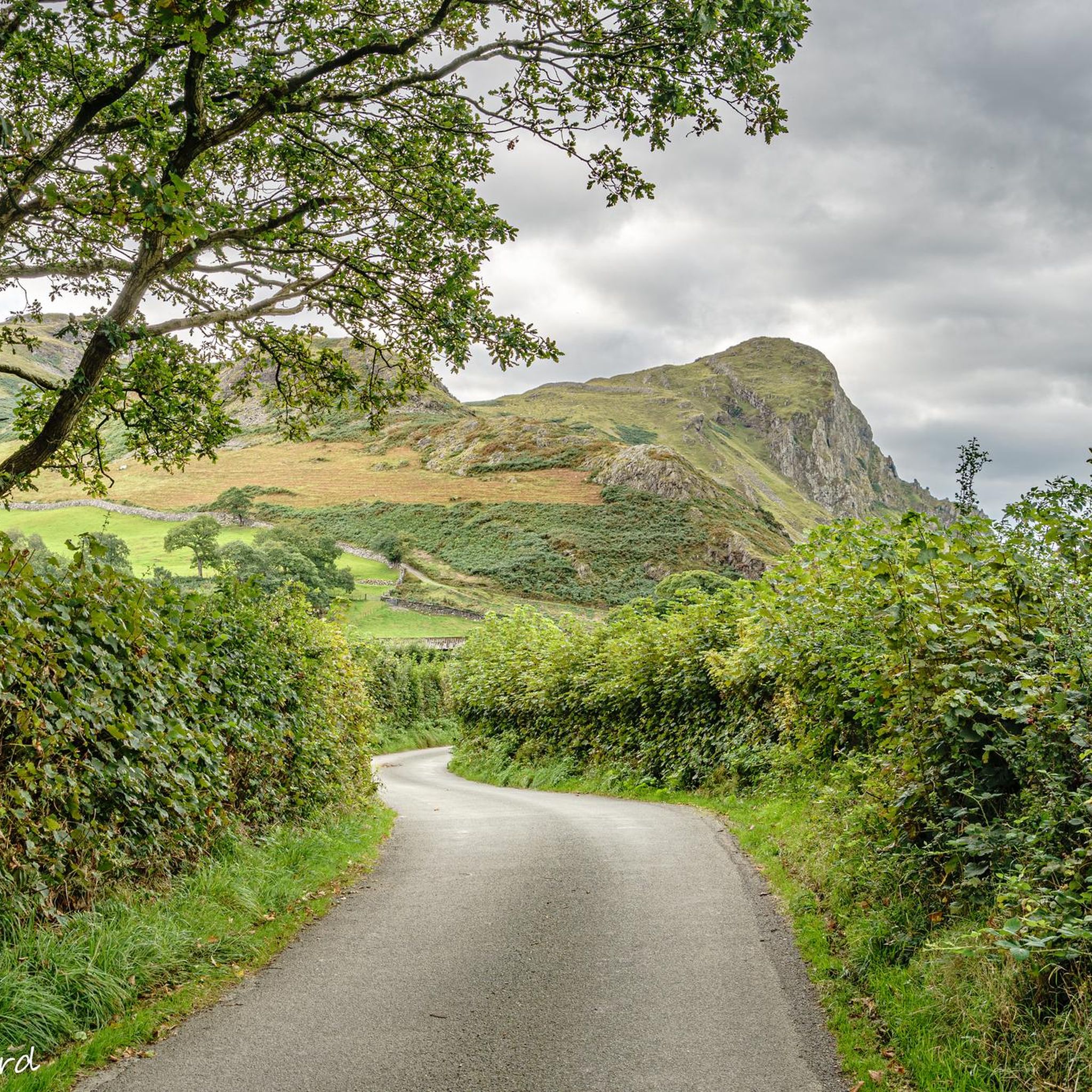
Cycling around Llanfihangel-Y-Pennant

Gravel biking around Llanfihangel-Y-Pennant
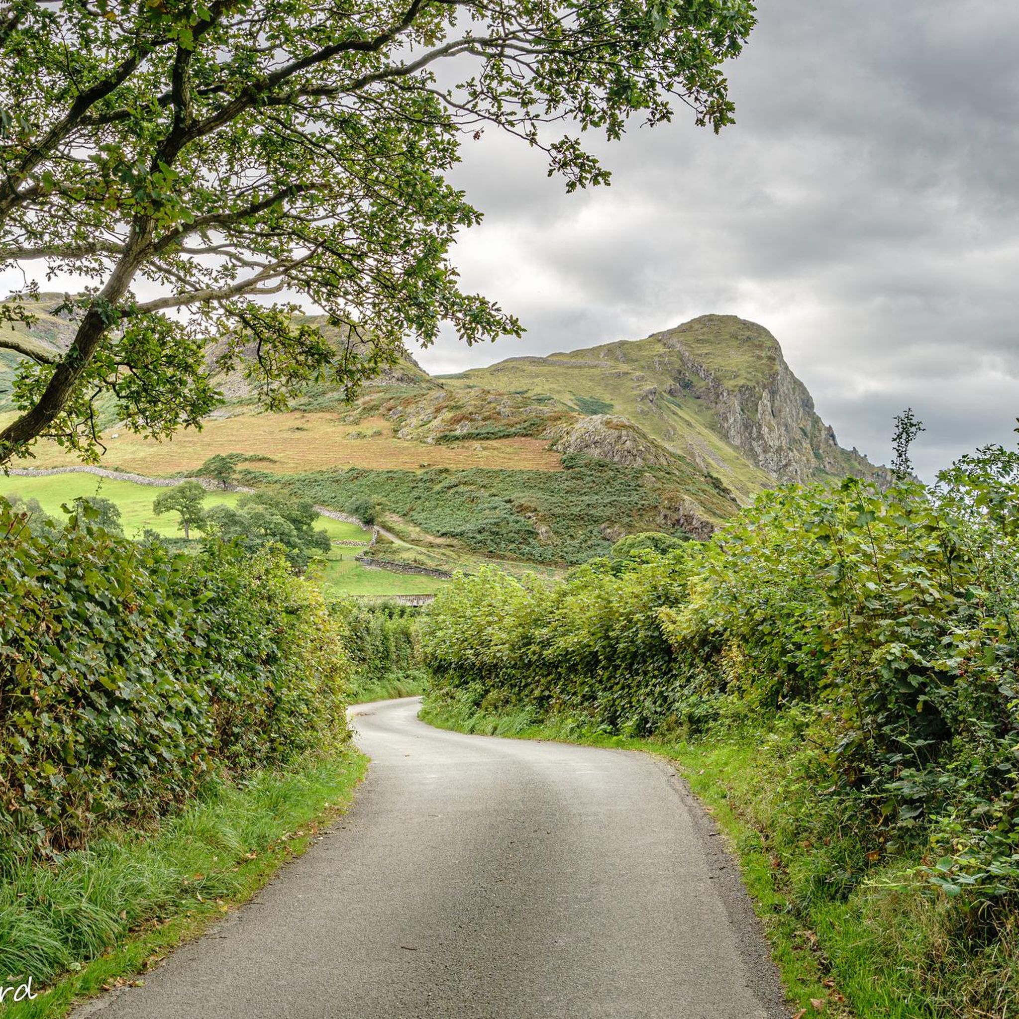
MTB Trails around Llanfihangel-Y-Pennant
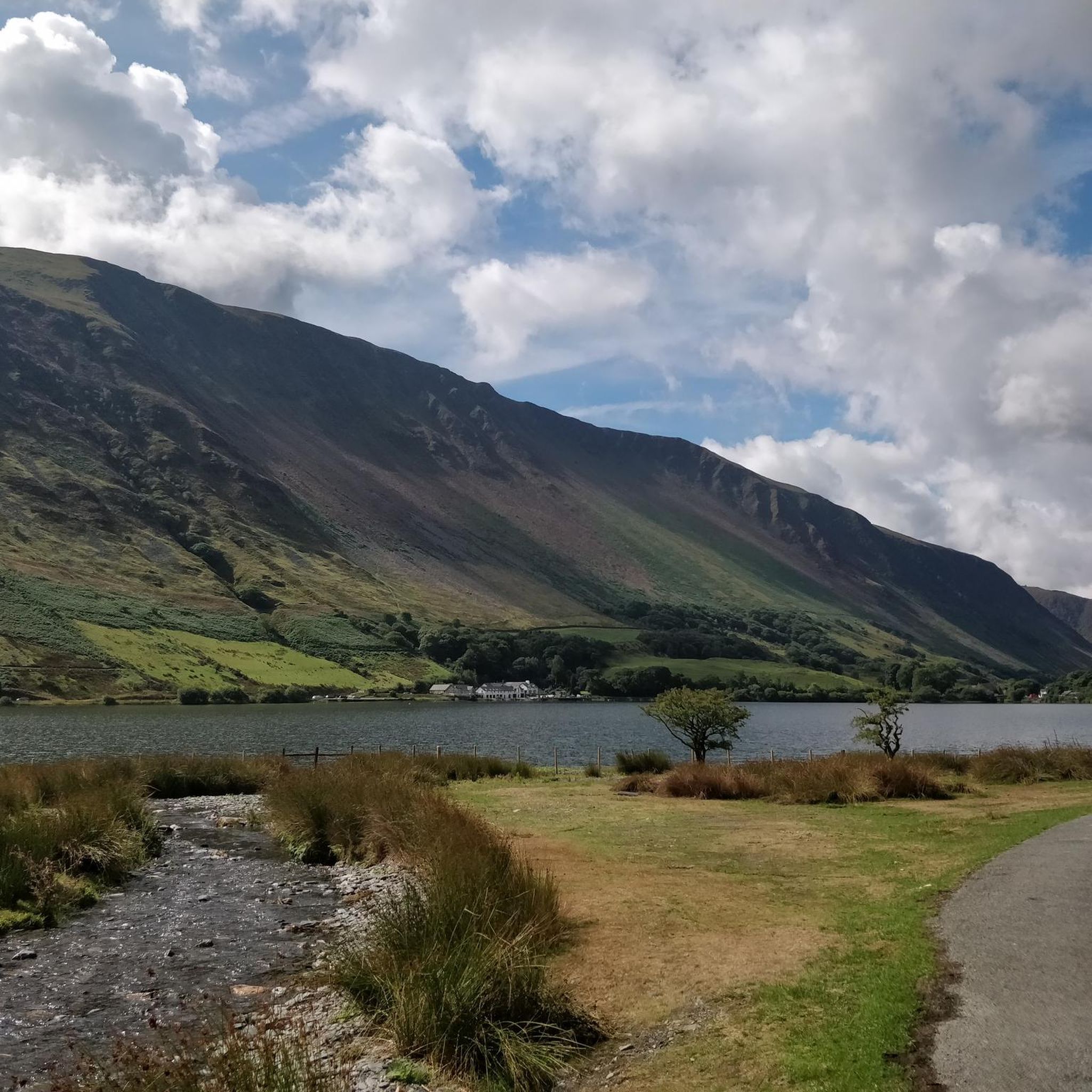
Road Cycling Routes around Llanfihangel-Y-Pennant
Other adventures around Llanfihangel-Y-Pennant


Tips from the Community

Just below the rocky summit stands a sturdy stone hut. It is a modern version of a 19th-century hut that became famous through an old lady who climbed to the summit early in the morning and offered a cup of tea (paned o de) to everyone who passed by. "Paned o De" is said to be the name of this shelter. (Snowdonia active)
8
0
According to legend, Cader is named after a giant called Idris Gawr. 'Cadair Idris' means 'Chair of Idris' in English, while 'Cader' can also refer to an ancient fortress. The place is known as Cader Idris rather than Cadair, but both names are used. The most famous local fable is that if you spend the night on the mountain, you will go mad or become a poet. (Visit Wales)
6
0
It is worth the effort. At the top, you enjoy a beautiful view in all directions. It cannot be captured in photos.
6
0
A triangulation station, also known as a trigonometric point, or sometimes informally a trig, is a fixed measurement point used in geodetic surveys and other land surveying projects in the surrounding area. The station is usually established by a cartographic organization with known coordinates and published elevation data. Numerous stations are placed on mountain tops for better visibility and prominence. An engraved metal plate on top of a pillar can serve as a mounting point for a theodolite or reflector, often using a kinematic coupling to ensure reproducible positioning. (Wikipedia)
8
0
Here you can, after the crossing (ladder), go to Mynydd Moel (up) or to the Dol Idris parking (down).
5
0
This last climb is very difficult due to the many loose stones and rocky ground.
9
0
Llyn Cau remains beautiful even though you only see it partially through the gorge.
6
0
The Minffordd Path (Welsh: Llwybr Minffordd) starts on the south side of the mountain, near the glacial lake Tal-y-llyn. Hikers following this route climb past Llyn Cau and along the edge of Craig Cau (a rock face) to Penygadair. The route is 4.4 kilometres long and includes two ascents of over 300 metres. (Wikipedia)
6
0
Frequently Asked Questions
What kind of terrain can I expect on running trails around Llanfihangel-Y-Pennant?
The region offers a dramatic and varied landscape, dominated by the foothills of Cadair Idris. You'll encounter river valleys, steep mountain paths, and rocky outcrops. Many routes are considered challenging, providing a robust workout amidst stunning scenery.
How many running routes are available in the Llanfihangel-Y-Pennant area?
There are over 10 dedicated running routes around Llanfihangel-Y-Pennant listed on komoot, ranging in difficulty and length. The area is particularly known for its challenging trail running opportunities.
Are there any easier or beginner-friendly jogging routes in Llanfihangel-Y-Pennant?
While many routes in Llanfihangel-Y-Pennant are rated as difficult due to the mountainous terrain, there are some moderate options available. The region is generally geared towards those seeking a more challenging trail running experience. For a less strenuous option, the 'Cascade Trail' is mentioned in regional research as an easier hiking route, which might offer gentler sections suitable for jogging.
What natural features or landmarks can I see while jogging in Llanfihangel-Y-Pennant?
The area is rich in natural beauty and historical sites. You can expect majestic mountain views, including the iconic Cadair Idris, and picturesque tarns like Llyn Cau. Keep an eye out for viewpoints such as Penygadair summit and Mynydd Moel summit. Additionally, the ruins of Castell y Bere, a 13th-century stronghold, add a historical dimension to the landscape.
Are there any circular running routes around Llanfihangel-Y-Pennant?
Yes, several popular routes are circular. For instance, the Minffordd Path Cadair Idris Loop is a well-regarded circular option. Another challenging loop is the Cadair Idris summit loop from Mach loop west car park.
What do other runners enjoy most about the trails in Llanfihangel-Y-Pennant?
The running routes in Llanfihangel-Y-Pennant are highly rated by the komoot community, with an average score of 4.4 stars. Runners often praise the dramatic mountain landscapes, the challenging nature of the trails, and the sense of tranquility and immersion in nature that the remote character of the area provides.
Are there any waterfalls accessible from the jogging routes?
While not directly on every jogging route, the region around Llanfihangel-Y-Pennant does feature several beautiful waterfalls. You can find highlights such as Waterfall Near Abergynolwyn and Nant Gwernol Waterfalls in the wider area, which might be incorporated into longer runs or visited separately.
What is the best time of year to go running in Llanfihangel-Y-Pennant?
The best time to jog depends on your preference for conditions. Spring and autumn offer pleasant temperatures and stunning scenery, though paths can be wet. Summer provides longer daylight hours but can be busy. Winter running is possible for experienced trail runners, but requires appropriate gear due to potentially harsh mountain conditions and shorter daylight.
Are the running trails in Llanfihangel-Y-Pennant suitable for families?
Many of the main routes, especially those ascending Cadair Idris, are categorized as 'hard/strenuous' and require a good level of fitness and navigation skills, making them less suitable for young children or casual family strolls. However, shorter, easier paths like the 'Cascade Trail' might offer more family-friendly sections for gentle jogging or walking.
Are dogs allowed on the running trails in Llanfihangel-Y-Pennant?
Generally, dogs are welcome on public footpaths in the Snowdonia National Park area, which includes Llanfihangel-Y-Pennant. However, it's crucial to keep dogs under close control, especially near livestock, and to follow the Countryside Code. Some areas, particularly nature reserves or during lambing season, may have specific restrictions or require dogs to be on a lead.
Where can I find parking for the running trails?
Parking is typically available at the start points of major trails. For routes like the Minffordd Path, there are designated car parks. For the Cadair Idris summit loop from Mach loop west car park, the name itself indicates a starting point with parking. It's advisable to check specific route details for precise parking locations.
Is public transport an option to reach the trailheads?
Llanfihangel-Y-Pennant is a remote hamlet, and public transport options are limited. While some bus services might connect to larger towns in the region, reaching specific trailheads directly by public transport can be challenging. Planning your journey in advance and considering local taxi services or personal transport is recommended.
What is the longest and most challenging running route in the area?
Among the listed routes, the Stile on the Mynydd Moel Path – Cadair Idris summit loop from Cader Idris National Nature Reserve stands out. It's a difficult 13.6-mile (22.0 km) path with significant elevation gain, exploring the summit area within a designated National Nature Reserve, making it one of the most extensive and demanding options.
Most popular routes around Llanfihangel-Y-Pennant
Most popular attractions around Llanfihangel-Y-Pennant

Get inspired with the komoot mobile app


Explore more
Browse the best Running Trails & Routes in other regions.
