The best road cycling routes around Dolbenmaen
4.7
(36)
2,900
riders
134
rides
Road cycling routes around Dolbenmaen are set within Gwynedd, Wales, offering diverse landscapes for cyclists. The area transitions from flat, fertile agricultural land along the Afon Dwyfor to rocky escarpments and higher ground to the north and south. Dolbenmaen is situated partly within Snowdonia National Park, providing access to mountainous terrain and varied topography. This region features a mix of flat stretches, rolling hills, and demanding ascents, alongside coastal proximity.
Best road cycling routes around Dolbenmaen
- The most popular road…
Last updated: August 18, 2026
37
riders
Easy road ride. Great for any fitness level. Mostly well-paved surfaces and easy to ride.
5.0
(2)
32
riders
78.9km
03:51
700m
700m
Moderate road ride. Good fitness required. Mostly well-paved surfaces and easy to ride.

Sign up for free
6
riders
96.7km
04:56
890m
890m
Moderate road ride. Good fitness required. Mostly well-paved surfaces and easy to ride.
307
riders
78.7km
03:44
940m
940m
Hard road ride. Very good fitness required. Mostly well-paved surfaces and easy to ride.
5.0
(5)
122
riders
52.0km
02:25
580m
580m
Moderate road ride. Good fitness required. Mostly well-paved surfaces and easy to ride.
Get access to more routes and recommendations from other explorers.
Sign up for free
Already have an account?
Our route recommendations are based on thousands of hikes, rides, and runs completed by other people on komoot.
Start today with a free account
Your next adventure awaits.
Login or Signup

Tips from the Community

The bridge was probably built in the 17th century and then radically rebuilt and widened in 1795-1796. As with many older bridges, folk tales claimed that the bridge was built by the devil or by the Romans (which an investigation by the National Trust described as "very doubtful"). During the reconstruction, a stone was found with the inscription "W M 1656" scratched on it, suggesting that the bridge is at least that old. Pont Aberglaslyn is located near the downstream end of the Aberglaslyn Pass. Although the location is rocky and the river flows through rapids upstream, it is not far above sea level. (Wikipedia)
7
0


Use the cycle track next to the con, not the road as cars tend to speed.
0
0

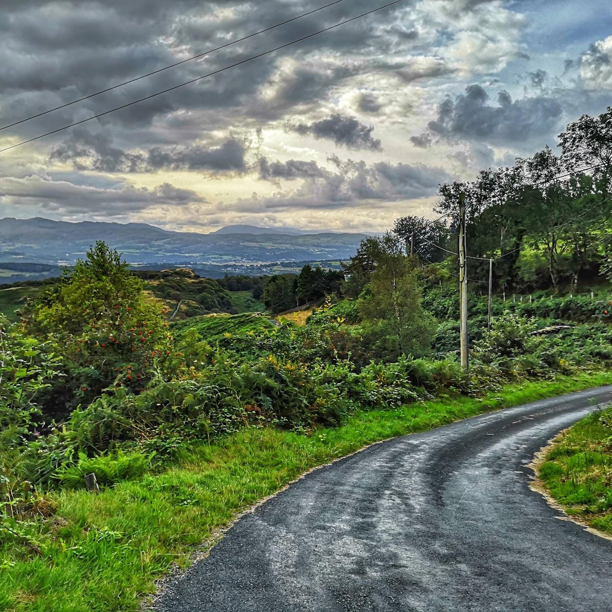
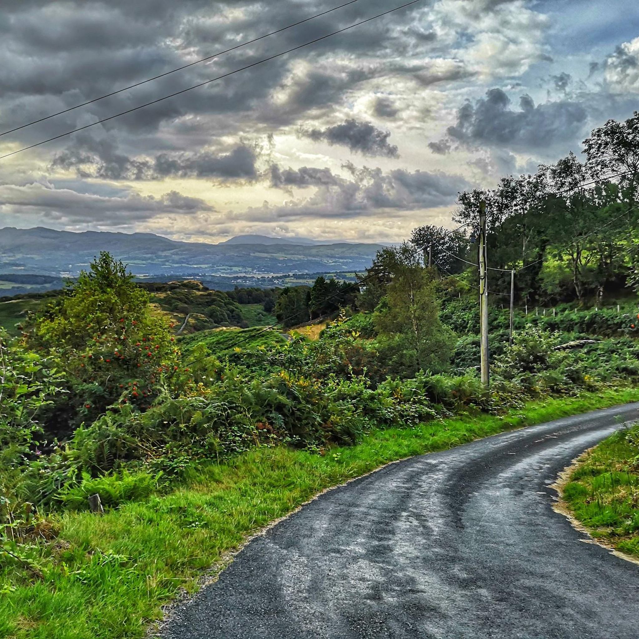
Just sublime when sunny, and even if not, the kind of narrow lane where you can ride along nice and relaxed.
0
0

These echoed imperial Roman architecture, especially the walls of Constantinople. They also recalled the Welsh myth of Macsen Wledig, who dreamed of a great fort at the mouth of a river – ‘the fairest that man ever saw’. So Caernarfon is a castle of dreams. A legend brought to life. Even after 700 years it still stirs the imagination like no other Welsh castle.
1
0
Castell Caernarfon is recognised around the world as one of the greatest buildings of the Middle Ages. This fortress-palace on the banks of the River Seiont is grouped with Edward I’s other castles at Conwy, Beaumaris and Harlech as a World Heritage Site. But for sheer scale and architectural drama Caernarfon stands alone. Here Edward and his military architect Master James of St George erected a castle, town walls and a quay all at the same time. This gigantic building project eventually took 47 years and cost a staggering £25,000. The castle was born out of bitter war with Welsh princes. So of course its immense curtain walls and daunting King’s Gate were designed to withstand assault. But the polygonal towers, eagle statues and multi-coloured masonry sent a more subtle message.
1
0
Betws-y-Coed is a village and community in the Conwy valley in Conwy County Borough, Wales, located in the historic county of Caernarfonshire, right on the boundary with Denbighshire, in the Gwydir Forest. It is now a very popular visitor destination in the Snowdonia National Park. Popular with cyclists a fantastic area if you enjoy a good climb.
2
0
Nantle Valley is well known for its mountains and ridge. A lot of historic settlements and slate mining. Stunning views of Snowdonia. Road surface is good watch out for sheep moving freely and a couple of cattle grids in this area
2
0
Frequently Asked Questions
How many road cycling routes are available around Dolbenmaen?
There are over 140 road cycling routes around Dolbenmaen, offering a wide range of options for different skill levels. This includes 32 easy routes, 90 moderate routes, and 20 difficult routes, ensuring there's something for every road cyclist.
What kind of terrain can I expect on road cycling routes near Dolbenmaen?
The terrain around Dolbenmaen is incredibly varied. You'll find flat, fertile agricultural land along the Afon Dwyfor, transitioning into rocky escarpments and higher ground to the north and south. Being partly within Snowdonia National Park, routes can feature mountainous sections, rolling hills, and demanding ascents, alongside coastal stretches for diverse scenery.
Are there challenging road cycling climbs in the Dolbenmaen area?
Yes, the Snowdonia National Park region, which Dolbenmaen is part of, is known for some of the UK's toughest climbs with steep gradients. Routes like The Cob Causeway – Llyn Dinas loop from Porthmadog feature significant elevation gains, making them suitable for experienced road cyclists seeking a challenge.
Are there easy road cycling routes suitable for beginners around Dolbenmaen?
Absolutely. Dolbenmaen offers 32 easy road cycling routes. A great option for beginners is the Pont Aberglaslyn & the Causeway loop from Porthmadog — Snowdonia National Park, which is 15.5 miles long and offers beautiful views within the National Park with mostly gentle gradients.
Can I find circular road cycling routes around Dolbenmaen?
Yes, many of the road cycling routes around Dolbenmaen are designed as loops, allowing you to start and finish in the same location. For example, the A sea view loop of the eastern Llŷn Peninsula from Criccieth offers a substantial circular ride through coastal areas.
Are there traffic-free road cycling options in the Dolbenmaen area?
While many routes utilize quiet country lanes, sections of the National Cycle Network, such as Route 8 (Lôn Las Cymru), offer traffic-free or low-traffic paths, often on converted old railway lines. The Lôn Eifion and Caernarfon Loop incorporates parts of this network, providing a more relaxed cycling experience.
What natural attractions can I see along road cycling routes near Dolbenmaen?
Road cycling routes often pass through stunning natural landscapes. You can expect views of the Afon Dwyfor, the dramatic rock escarpment of Craig-y-Llan, and the beautiful Cwm Pennant valley. Highlights include The Aberglaslyn Pass and the Glaslyn River Gorge, Pont Aberglaslyn, and the Nantlle Valley. Keep an eye out for wildlife, including ospreys near the Glaslyn Osprey Project.
Are there any historical sites or landmarks to explore while road cycling?
Yes, the region is rich in history. Dolbenmaen itself has the remains of a castle motte and the Grade II* listed St Mary's Church. Nearby, you can visit historic sites like Criccieth Castle or the unique village of Portmeirion, which can be incorporated into longer rides.
Where can I park my car when cycling in Dolbenmaen?
Parking is generally available in and around Dolbenmaen and nearby towns like Porthmadog or Criccieth, which serve as common starting points for many routes. Look for public car parks in these areas, keeping in mind that some may have charges. Always check local signage for parking regulations.
Is public transport available to Dolbenmaen for cyclists?
Public transport options, including buses, serve the Dolbenmaen area and connect to larger towns. However, services that accommodate bicycles can be limited, especially for full-sized road bikes. It's advisable to check with local bus operators or train services (if applicable) regarding their bike carriage policies and schedules in advance.
Are there cafes or pubs along the road cycling routes in Dolbenmaen?
Yes, many routes will take you through or near villages and towns where you can find cafes, pubs, and other amenities. Porthmadog and Criccieth, for instance, offer various options for refreshments and meals. The Cwm Pennant route, while scenic, might have fewer direct options, so planning stops in advance is recommended.
What do other road cyclists enjoy the most about road cycling in Dolbenmaen?
The komoot community highly rates road cycling in Dolbenmaen, with an average score of 4.8 stars from over 20 reviews. Cyclists frequently praise the stunning scenery, the variety of terrain from coastal views to challenging mountain climbs, and the quiet country lanes that allow for an immersive experience away from heavy traffic.
Most popular routes around Dolbenmaen
Most popular attractions around Dolbenmaen

Get inspired with the komoot mobile app


Explore more
Browse the best Road cycling routes in other regions.
