The 20 Most Amazing Peaks around Barmouth
Best mountain peaks around Barmouth offer a diverse range of hiking experiences in the southern part of Eryri (Snowdonia). This coastal town in North Wales provides access to rugged mountain landscapes, including the Cadair Idris range and the Rhinogydd. The area is characterized by its varied terrain, from challenging climbs to ridges with expansive views of the Irish Sea and surrounding valleys. Barmouth serves as a base for exploring these natural features, which include summits, tarns, and craggy hills.
Best mountain peaks around Barmouth
- The most popular mountain peaks is Penygadair summit, Cadair Idris, a summit known for its imperious cliffs, enticing ridges, and tarns. This peak, at 892 meters, offers extensive panoramas of southern Snowdonia and the Irish Sea.
- Another must-see spot is Rhinog Fawr Summit Cairn, a challenging natural monument. Visitors can expect a rugged, craggy, and wild landscape, recognized as one of the roughest hills in Wales.
- Visitors also love Rhinog Fach Summit, a challenging natural monument. This summit provides rugged mountain-scape scenery and views of the Welsh west coast, often with fewer crowds.
- Barmouth is known for its challenging summits, natural monuments, and viewpoints. The area offers a variety of mountain peaks to see and explore, from the well-known Cadair Idris to the wilder Rhinogydd range.
- The mountain peaks around Barmouth are appreciated by the komoot community, with more than 280 upvotes and over 120 photos shared by visitors.
Last updated: July 3, 2026
Penygadair summit, Cadair Idris
Highlight • Summit
Tip by

Rhinog Fawr Summit Cairn
Highlight • Natural Monument
Tip by
Sign up now to discover places like this
Get recommendations on the best single tracks, peaks, & plenty of other exciting outdoor places.
Sign up for free
Rhinog Fach Summit
Highlight • Natural Monument
Tip by
Diffwys Summit
Highlight • Viewpoint
Tip by

Y Llethr
Highlight • Viewpoint
Tip by

Sign up for free to discover even more peaks around Barmouth.
Sign up for free
Already have an account?
Start today with a free account
Your next adventure awaits.
Login or Signup
Popular around Barmouth

O Fon i Fynwy — Exploring Wales on foot from top to bottom
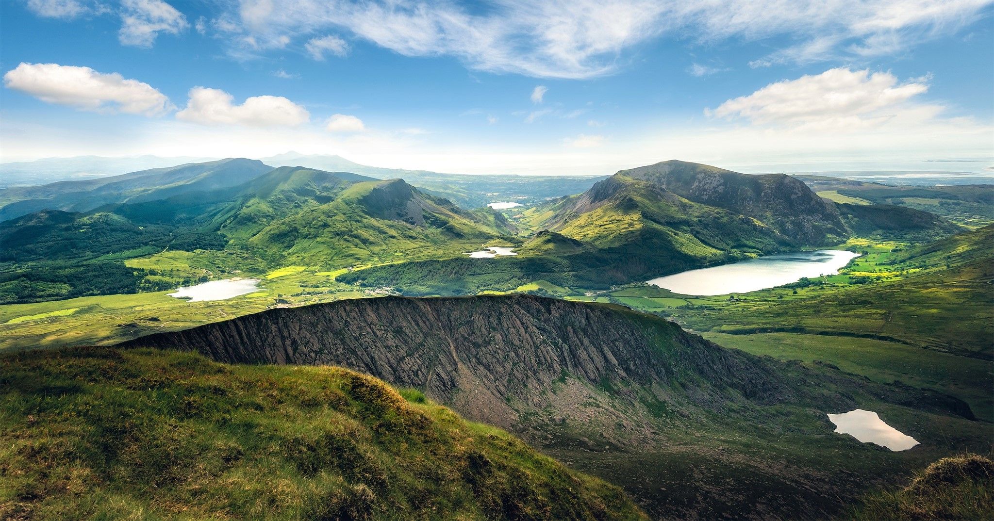
Cambrian Way — Hike the highest, wildest and most beautiful trail in Wales

Gravel bike in the UK's wildest landscapes with Wild Cycles
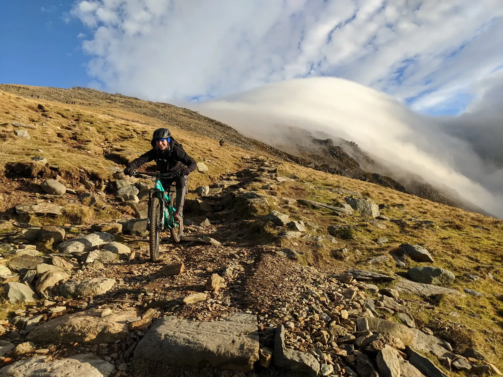
North Wales mountain biking — Gogledd Cymru's finest
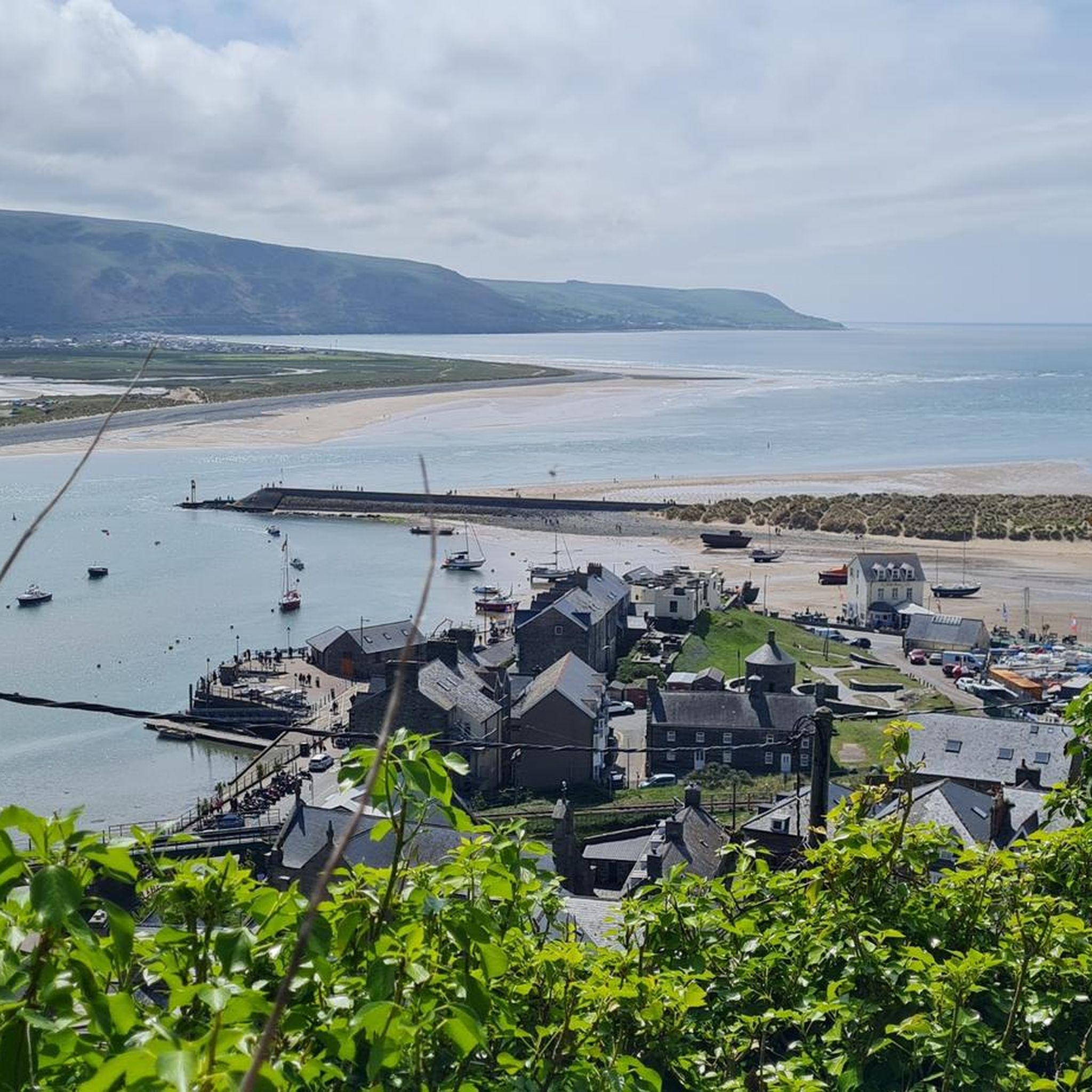
Hiking around Barmouth
Gravel biking around Barmouth
Road Cycling Routes around Barmouth
Cycling around Barmouth
MTB Trails around Barmouth
Running Trails around Barmouth
Other adventures around Barmouth


Tips from the Community

According to legend, Cader is named after a giant called Idris Gawr. 'Cadair Idris' means 'Chair of Idris' in English, while 'Cader' can also refer to an ancient fortress. The place is known as Cader Idris rather than Cadair, but both names are used. The most famous local fable is that if you spend the night on the mountain, you will go mad or become a poet. (Visit Wales)
6
0
It is worth the effort. At the top, you enjoy a beautiful view in all directions. It cannot be captured in photos.
6
0

It is a steep climb to get here from either the north or south, but easier than Rhinog Fawr from the west. Great views, and the cliffs of the west side side are a playground for rockclimbers.
0
0
The Rhinogs are rightly recognised as being the roughest hills in Wales, so any ascent should bear that in mind. The easiest and clearest route is from the East, starting from the small car park at the end of the lane off the A470. This route is easy to follow and relatively easy to walk. The routes from the west include very difficult walking and few paths.
0
0

Cadair Idris, on the southern edge of Eryri (Snowdonia), is a majestic mountain and a grand adventure for runners. Standing at 2,930 feet (893 m), it's a challenging ascent, but the paths are good and the views - if you're lucky enough to visit on a clear day - are spectacular. Most people will use the Pony Path from the north or the Minffordd Path from the south, both of which offer an engaging way to climb or descend the mountain. The two llyns (one on each side of the mountain) can be added into a run to create a figure of eight from either side, with amazing scenery and lots of ascent and descent. Underfoot, the trails are well-maintained but the summit is quite rocky. There's a roomy stone shelter near the summit, handy for taking a break out of the wind before tackling the descent.
0
0

The Cadair Idris is certainly not the highest mountain in Wales. Still, it was definitely worth climbing this mountain. Mountains in Wales have an ancient look to them in my opinion. The weather can be very unpredictable and changeable, which means something adventurous and mysterious. This walk is started via the pony path, between trees along a lovely stream. It opens out onto a mountainside of grass and heather while also overlooking rugged slopes. It is rocky at the top of the mountain. Also the first descent via the Fox path. You descend between mountain lakes and see the sea in the distance. Then you come to a beautiful moorland where a stream meanders through and runs between grazing sheep. You end up in a fresh green area. Tip: A good GPS is recommended. When the fog sets in, you as a tourist really do not succeed in orienting yourself on your location. And the weather can be fierce.
3
0

Stunning views of Snowdonia. A little less trodden than Yr Wyddfa in northern snowdonia. Interesting paths and landmarks. One of my favorite Summits.
6
0

There is a beautiful stone built hut just below the trig point on Cadair Idris. It is exceptionally sturdy and has benches within. It is a great place to take a break on a bad winter day and it is possible to sleep there (on the floor) with your own equipment overnight. Please take your own rubbish away and do not misuse the premises as it is very popular.
5
0
Frequently Asked Questions
What are the most popular mountain peaks around Barmouth?
The most popular peak is Penygadair summit, Cadair Idris, known for its dramatic cliffs, enticing ridges, and tarns, offering extensive panoramas of southern Eryri (Snowdonia) and the Irish Sea. Other highly regarded peaks include Rhinog Fawr Summit Cairn and Rhinog Fach Summit, both offering rugged, wild landscapes and impressive coastal views.
How do the Cadair Idris and Rhinogydd ranges compare for hiking near Barmouth?
The Cadair Idris range, particularly Penygadair summit, offers a challenging but rewarding climb with clear paths and breathtaking panoramas, often compared to Yr Wyddfa (Snowdon) in its grandeur. The Rhinogydd range, including Rhinog Fawr and Rhinog Fach, is renowned for being much wilder and rougher, with fewer defined paths and a more remote feel, ideal for those seeking a truly rugged adventure away from crowds.
Are there family-friendly mountain walks near Barmouth?
While many peaks in the area are challenging, there are easier options and routes that can be adapted for families. For instance, some sections of the Mawddach Trail offer relatively flat walking with stunning estuary views, which can be a good starting point. For specific easy hikes around Barmouth, you can explore the routes listed in the Easy hikes around Barmouth guide.
What are the difficulty ratings for mountain peaks around Barmouth?
The difficulty varies significantly. Peaks like Penygadair summit, Cadair Idris, Rhinog Fawr Summit Cairn, and Rhinog Fach Summit are generally considered challenging, involving steep climbs and rugged terrain. Some routes, especially in the Rhinogydd, are known for being particularly rough with few clear paths. However, there are also intermediate options like Diffwys Summit and Y Llethr, which offer great views without the extreme difficulty of the highest peaks.
What is the best time to climb mountains near Barmouth?
The best time for mountain climbing around Barmouth is typically from late spring to early autumn (May to October). During these months, you'll generally find more stable weather, longer daylight hours, and milder temperatures. However, conditions in Eryri (Snowdonia) can change rapidly, so always check the local weather forecast before heading out, regardless of the season.
Are there wild swimming spots near the mountain peaks around Barmouth?
Yes, the Cadair Idris range features beautiful lakes (tarns) on both sides of its ridge, such as Llyn Cau and Llyn y Gadair. While the water can be very cold, these offer opportunities for wild swimming for those with a 'cast-iron constitution'. Always exercise caution and be aware of water temperatures and conditions.
What outdoor activities can I do near the mountain peaks around Barmouth?
Beyond mountain climbing, the Barmouth area offers a variety of outdoor activities. You can find numerous hiking trails, from easy strolls along the coast to challenging mountain routes. Cycling is also popular, with routes like the Mawddach Trail. For more detailed options, explore the Hiking around Barmouth guide and the Cycling around Barmouth guide.
What natural features can I expect to see on the mountain peaks?
You'll encounter a diverse range of natural features. The Cadair Idris range is known for its imperious cliffs, enticing ridges, and picturesque tarns (mountain lakes). The Rhinogydd offer a craggy, wild, and vegetated landscape. From many summits, such as Penygadair and Diffwys, you'll be rewarded with expansive views of the Irish Sea, the Mawddach Estuary, and the surrounding Eryri (Snowdonia) landscape.
Where can I find parking for Cadair Idris?
There are several car parks around the base of Cadair Idris, depending on which route you plan to take. Popular starting points often have designated parking areas, though these can fill up quickly during peak season. It's advisable to arrive early, especially for popular routes like the Minffordd Path or the Pony Path. Always check local signage for parking fees and regulations.
Are there any hidden gem mountain walks near Barmouth?
The Rhinogydd range is often considered a hidden gem compared to the more frequented Cadair Idris. Peaks like Rhinog Fach Summit offer rugged mountain scenery and coastal views with significantly fewer crowds, allowing for a more solitary and wild experience. The ridge walk encompassing Y Llethr and Diffwys Summit also provides beautiful views and a less-trafficked experience.
What should I know about winter hiking in the Snowdonia peaks near Barmouth?
Winter hiking in Eryri (Snowdonia) requires significant preparation and appropriate gear. Conditions can be severe, with snow, ice, strong winds, and rapidly changing weather. Essential winter gear includes crampons, an ice axe, waterproof and warm clothing layers, navigation tools (map, compass, GPS), and emergency supplies. It is recommended only for experienced hikers with winter mountaineering skills. Always check mountain-specific weather forecasts and avalanche reports.
How long does it typically take to hike Rhinog Fawr?
Hiking Rhinog Fawr can take anywhere from 4 to 7 hours, depending on the chosen route and your fitness level. The easiest and clearest route is generally from the East, starting from a small car park off the A470. Routes from the west are considerably more difficult and involve very rough terrain with few defined paths, which will extend the hiking time significantly.
Most popular routes around Barmouth
Most popular attractions around Barmouth

Get inspired with the komoot mobile app


Explore more
See even more amazing summits around Barmouth with these guides:
