The best walks and hikes around Saddington
4.3
(296)
2,446
hikers
247
hikes
Hiking around Saddington, Leicestershire, offers a network of trails primarily characterized by gentle hills and rural landscapes. The region features accessible canal paths, particularly along the Grand Union Canal, providing flat and scenic walking opportunities. Elevation changes are generally moderate, making the area suitable for various fitness levels. The terrain often includes open fields, small woodlands, and waterside routes, reflecting the agricultural and waterway heritage of the area.
Best hiking trails around Saddington
- The most popular hiking route is Binleys…
Last updated: May 21, 2026
4.5
(8)
41
hikers
Moderate hike. Good fitness required. Easily-accessible paths. Suitable for all skill levels.
4.3
(4)
25
hikers
14.8km
03:56
160m
160m
Moderate hike. Good fitness required. Easily-accessible paths. Suitable for all skill levels.

Sign up for free
4.0
(2)
16
hikers
Moderate hike. Good fitness required. Easily-accessible paths. Suitable for all skill levels.
5.0
(1)
11
hikers
7.65km
02:01
70m
70m
Moderate hike. Good fitness required. Easily-accessible paths. Suitable for all skill levels.
4.0
(2)
12
hikers
7.66km
02:01
60m
60m
Moderate hike. Good fitness required. Easily-accessible paths. Suitable for all skill levels.
Get access to more routes and recommendations from other explorers.
Sign up for free
Already have an account?
Our route recommendations are based on thousands of hikes, rides, and runs completed by other people on komoot.
Start today with a free account
Your next adventure awaits.
Login or Signup
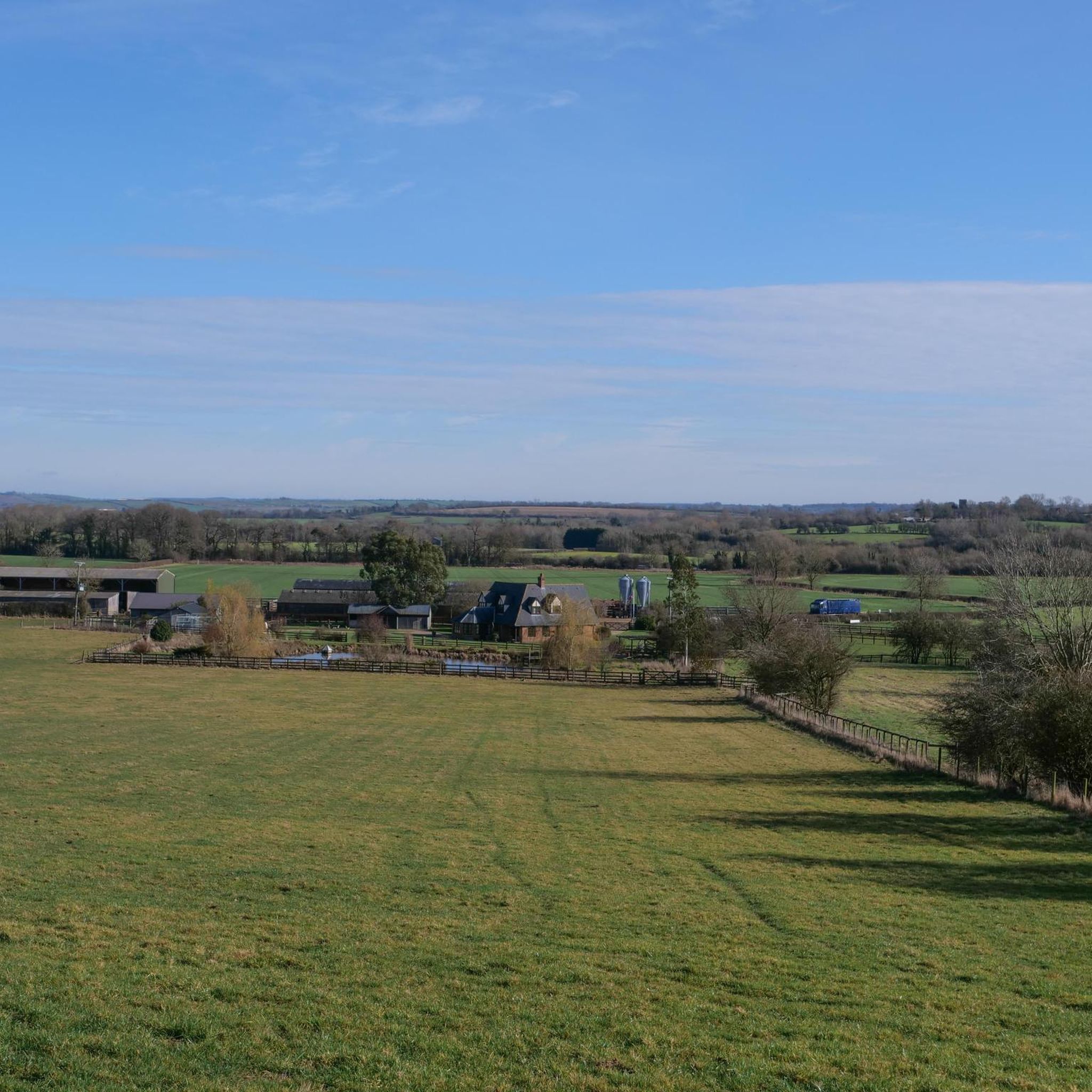
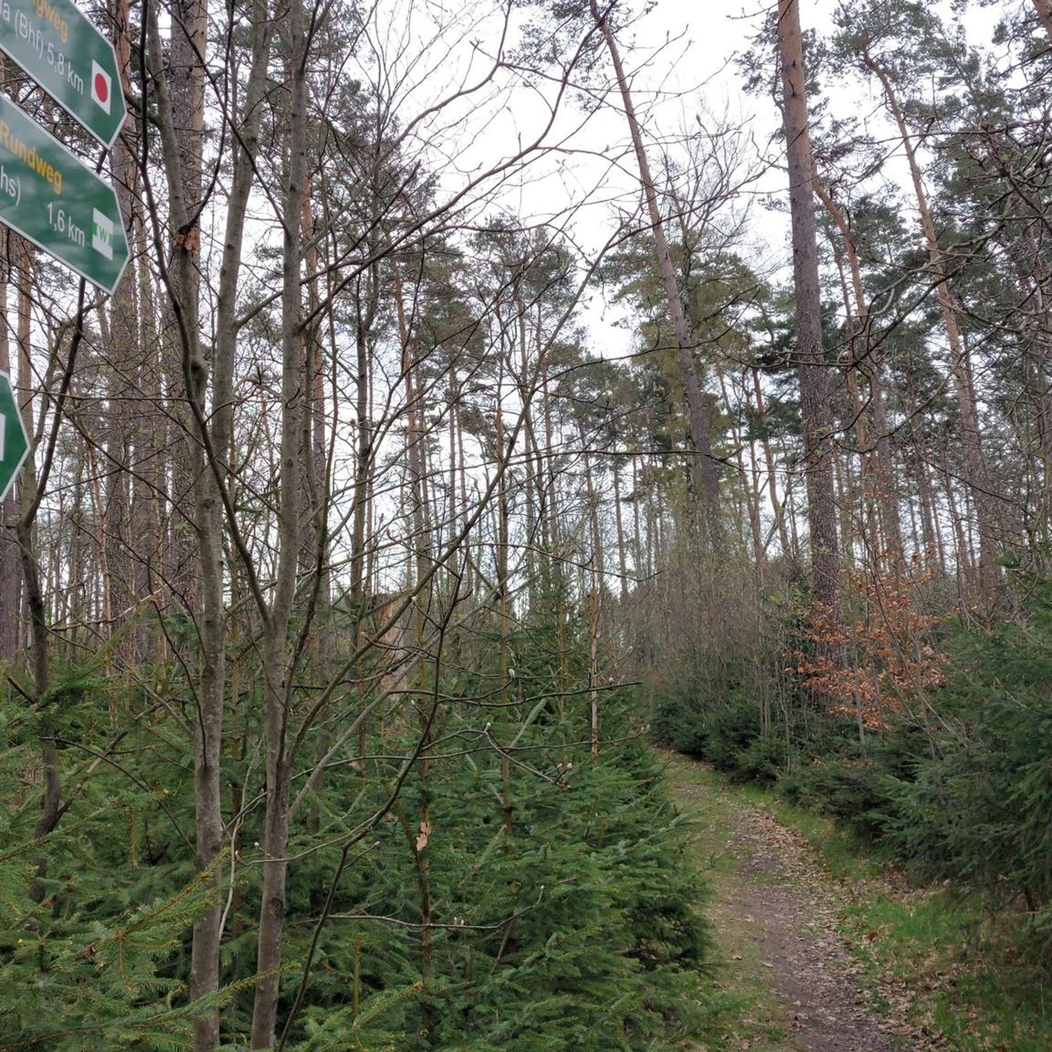
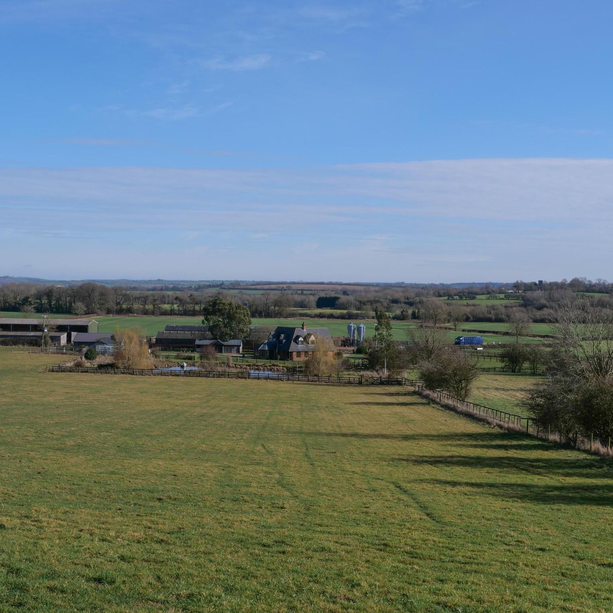

Tips from the Community


Foxton locks is the longest staircase flight of canal locks in Britain. The feet of engineering was completed in 1814 and allows canal boats to climb the 75-foot (23m) hill. There is a museum here and you can take a boat trip up the locks (summer only).
0
0

Saddington Tunnel, Leicestershire This is the north-west portal of Saddington Tunnel (Fleckney Tunnel) on the Grand Union Canal (Leicester Section). The tunnel is not quite straight, because miscalculations during its construction required some "adjustment". The tunnel is just over half a mile long (about 807 metres). Standard seven foot beam narrowboats can pass in the tunnel, with care. There are bats in this tunnel, and a narrowboat is in it navigating towards Leicester. There is no towpath in the tunnel, so horses were led across the top of the tunnel along the path which can be seen above the tunnel entrance. source: https://www.geograph.org.uk/photo/3655795
0
0
This slightly crooked Leicester Canal tunnel was constructed in 1797 and is 808 metres long and available for two way working for boats of 3.96 metres or less beam and maximum of 2.13 metres high. The tunnel does not have an internal towpath - if walking or cycling along the Leicester Canal's towpath then follow the marked route which goes up and over the hillside directly following the tunnel's subterranean route. Saddington Feeder Arm connects the Leicester Canal with Saddington Reservoir - fed by water from Saddington and Laughton Brooks, the reservoir was constructed in the 1790s as a water source for the canal. source: http://www.grandunioncanal.co.uk/Saddington-Tunnel.html
0
0

Gumley is a quaint village featuring the historic Saint Helen's Church, a Grade II listed building. The village is also notable for Gumley Hall, a historic estate with a tall clock tower, adding character to this rural village.
1
0
The basin marks the convergence point of the Leicester line of the Grand Union Canal and the Market Harborough arm, situated at the base of Foxton Locks. Foxton Locks is the 'staircase' of ten canal locks. This flight of locks was built in the early 19th century to enable canal boats to navigate the steep incline. The locks are arranged in two groups of five, allowing boats to ascend or descend the hill.
0
0

Frequently Asked Questions
How many hiking trails are there in Saddington?
Saddington offers a wide variety of hiking experiences, with over 250 routes available. These range from easy strolls to more moderate paths, catering to different fitness levels.
Are there easy hiking routes suitable for beginners in Saddington?
Yes, Saddington is well-suited for beginners and those looking for easier walks. Over 115 of the available routes are classified as easy, often following gentle canal paths or open fields with minimal elevation change. The region's terrain is generally gentle, making it accessible for new hikers.
Are there any family-friendly hiking options around Saddington?
Many of Saddington's trails are suitable for families, especially those along the Grand Union Canal which offer flat and scenic walking. These paths are generally safe and easy to navigate, providing a pleasant experience for all ages. Look for routes with shorter distances and less elevation for younger children.
Can I bring my dog on the hiking trails in Saddington?
Saddington's rural landscape is generally dog-friendly. Many trails pass through open fields and along canal paths, which are ideal for walks with your canine companion. However, always keep dogs under control, especially near livestock, and be mindful of local signage regarding leads. Remember to carry water for your dog and clean up after them.
Are there circular walks available in Saddington?
Yes, many of the hiking routes in Saddington are circular, allowing you to start and end at the same point. For example, the Binleys Bridge (Bridge 67) – Bridge 68, Grand Union Canal loop from Saddington is a popular circular route that covers 7.1 miles (11.5 km) and takes about 3 hours.
What kind of terrain can I expect on Saddington's hiking trails?
The terrain around Saddington is primarily characterized by gentle hills, open rural landscapes, and accessible canal paths. You'll encounter a mix of dirt tracks, grassy paths through fields, and paved sections along the Grand Union Canal. Small woodlands are also part of the scenery, reflecting the agricultural and waterway heritage of the area.
Where can I find parking for Saddington walks?
Parking for Saddington walks is typically available in or near the villages that serve as starting points for trails, such as Saddington itself or nearby Smeeton Westerby. Specific parking details often vary by route, so it's advisable to check the individual tour descriptions on komoot for the most accurate information before you set off.
Are there any interesting landmarks or attractions to see while hiking in Saddington?
Yes, the Saddington area offers several points of interest. You can explore the historic Foxton Locks, a flight of ten canal locks, or visit the tranquil Saddington Reservoir. The Foxton Locks – Foxton Locks Basin loop from Smeeton Westerby is a great route to experience some of these attractions.
What is the best time of year to hike in Saddington?
Saddington's trails are enjoyable throughout much of the year. Spring brings blooming wildflowers and lush greenery, while autumn offers beautiful foliage. Summer is ideal for longer days and warmer weather, though paths can be muddy after rain. Winter walks are also possible, but be prepared for potentially wet and muddy conditions, especially on field paths.
Are there options for public transport to reach Saddington's hiking trails?
Public transport options to Saddington and its surrounding villages can be limited. It's recommended to check local bus schedules in advance if you plan to rely on public transport. Many hikers find it more convenient to access the trails by car, utilizing available parking in the villages.
Are there any pubs or places to eat near the hiking trails in Saddington?
Yes, the villages surrounding Saddington, such as Smeeton Westerby and Kibworth, often have traditional pubs and local eateries where you can refuel after your hike. These establishments provide a welcoming stop for refreshments and meals, offering a taste of local hospitality.
What do other hikers say about the trails in Saddington?
The hiking trails in Saddington are highly regarded by the komoot community, with an average rating of 4.3 stars from over 270 reviews. Hikers often praise the peaceful rural scenery, the well-maintained canal paths, and the variety of routes suitable for different abilities. Over 2,400 hikers have used komoot to explore the area.
Are there any specific trails that go past Saddington Reservoir?
Yes, Saddington Reservoir is a notable feature in the area, and several routes incorporate it. While not explicitly listed in the top routes, many local trails will offer views of or pass close to the reservoir, providing a tranquil waterside experience. You can find routes that feature the Saddington Reservoir by searching on komoot.
Are there any longer distance hikes near Saddington for experienced hikers?
While Saddington is known for its moderate and easy trails, there are options for longer walks by combining routes or exploring the wider network. For instance, the Foxton Locks – Foxton Locks Basin loop from Smeeton Westerby is a moderate 9.2 miles (14.8 km) path, offering a more extended experience. You can also find a few difficult routes among the 250+ available, though they are less common.
Most popular attractions around Saddington

Get inspired with the komoot mobile app


Explore more
Browse the best Hikes in other regions.
