The 11 Most Amazing Peaks around Karlstein am Main
Best mountain peaks around Karlstein am Main are characterized by an undulating terrain along the Main river, featuring the Hahnenkamm ridge and other elevated areas. The region offers opportunities for hiking and scenic views, with the highest point within the municipality reaching 332 meters above sea level. Its charm lies in its idyllic location and recreational value, providing diverse natural attractions for visitors.
Best mountain peaks around Karlstein am Main
- The most popular mountain peaks is Ludwig Tower (Hahnenkamm),…
Last updated: May 11, 2026
Ludwig Tower (Hahnenkamm)
Highlight • Viewpoint
Translated by Google •
Tip by

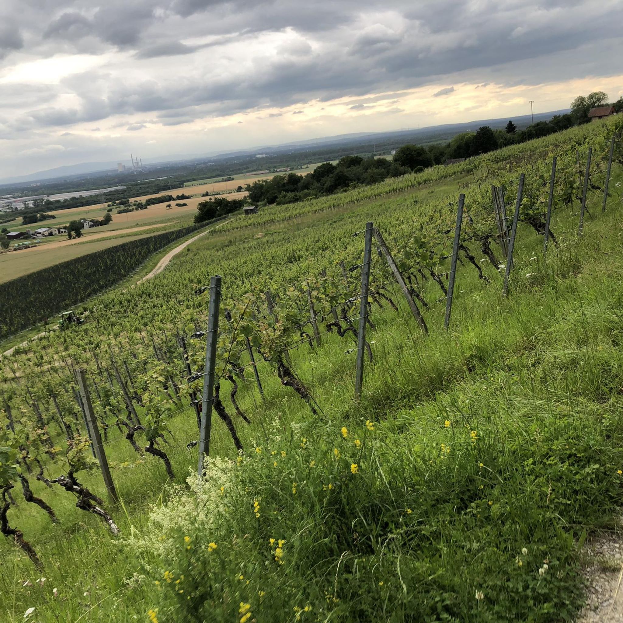
Summit of the Mühlheim Gailenberg
Highlight • Summit
Translated by Google •
Tip by

Sign up now to discover places like this
Get recommendations on the best single tracks, peaks, & plenty of other exciting outdoor places.
Sign up for free
Summit Cross Kahl
Highlight • Summit
Translated by Google •
Tip by

View of the Hahnenkamm
Highlight • Viewpoint
Translated by Google •
Tip by

Schanzenkopf Castle (hillfort)
Highlight • Historical Site
Translated by Google •
Tip by

Sign up for free to discover even more peaks around Karlstein am Main.
Sign up for free
Already have an account?
Start today with a free account
Your next adventure awaits.
Login or Signup
Tips from the Community

It's a steep climb from there.
0
0

In 2018, the Bavarian State Survey Office determined that Bavaria's lowest mountain is located in the Kahl district. This was publicized by Bavarian Television in the series "Home of Records." Anyone wishing to hike to or visit the Birkenkopf will indeed have a very difficult time... just finding it. The hill lies at exactly 120 meters above sea level, in the middle of a private forest belonging to Emmerichshofen. Assuming the average elevation of the municipality of Kahl is 110 meters above sea level, the "ascent" to the Birkenkopf is actually a mere 10 meters. (Excerpt from kahl-main.de) Currently (December 2025), there are no signposts to the summit. A summit cross was erected in 2023.
3
0

The name of the mountain ⛰️ is: "Birkenkopf" and not "Bunkerkopf" !!!!
4
0
As is common on many other mountains, there is a cross on the summit, great.
3
0
It is quite common to find a cross on a mountaintop.
4
0
For some, however, it is one of the most beautiful peaks.
3
0

Beautiful flat tour without much effort, from time to time it goes through the forest nicely shady
0
0

Frequently Asked Questions
What are the most popular elevated points and viewpoints around Karlstein am Main?
The region offers several popular elevated points and viewpoints. The Ludwig Tower (Hahnenkamm) is a prominent spot offering panoramic views. Other notable locations include Schanzenkopf Castle (hillfort), which provides a hidden, historical viewpoint, and the Summit of the Mühlheim Gailenberg, known for its unique dry biotope and views.
What kind of natural features can I explore near Karlstein am Main?
Beyond the elevated points, you can explore the undulating terrain of the Hahnenkamm ridge and the idyllic Main river landscape. A highlight is the wild and romantic Rückersbach Gorge, featuring open orchards, enchanting forests, and sunny vineyards. The Summit of the Mühlheim Gailenberg also hosts an exceptional dry biotope with rare plants.
Are there family-friendly elevated points or trails in the area?
Yes, many of the elevated points and trails are suitable for families. Highlights like the Ludwig Tower (Hahnenkamm), Summit of the Mühlheim Gailenberg, Summit Cross Kahl, and the Highest Point of Kleinostheim (Dreimärker) are all considered family-friendly. The Main hiking trail also offers leisurely walks suitable for all ages.
What is the best time of year to visit Karlstein am Main for hiking and exploring the elevated areas?
The best seasons for hiking and exploring the elevated areas around Karlstein am Main are spring and autumn. During these times, the weather is mild, and the natural scenery is at its most vibrant, offering pleasant conditions for outdoor activities.
What historical sites can be found on or near the elevated areas?
The region features several historical sites. The Schanzenkopf Castle (hillfort) is a notable historical spot hidden in the forest. The Ludwig Tower (Hahnenkamm), while a viewpoint, also has historical significance. Additionally, the Summit Cross Kahl is a historical marker at the highest point in Kahl.
Are there hiking trails that incorporate the Rückersbach Gorge?
Yes, the Rückersbach Gorge is a popular area for hiking. Trails such as the "Pfahlgrund Trail – Rückersbach Gorge loop" (10.6 km) and a 5.8 km route starting from Karlstein incorporate this scenic area. You can find more details on hiking routes in the Hiking around Karlstein am Main guide.
What kind of outdoor activities can I do near these elevated points?
Besides hiking, the area around Karlstein am Main offers various outdoor activities. You can explore numerous MTB Trails around Karlstein am Main or enjoy Gravel biking around Karlstein am Main. The Main river also provides opportunities for leisurely walks along the Main hiking trail.
What makes the Hahnenkamm ridge special?
The Hahnenkamm ridge is a prominent natural feature in the region, providing a scenic backdrop for Karlstein am Main. It's home to the Ludwig Tower, which offers expansive views. The ridge is crisscrossed with numerous hiking trails, making it a popular destination for outdoor enthusiasts seeking vistas and varied terrain.
Can I find easy hiking trails suitable for beginners or leisurely walks?
Absolutely. While some routes offer moderate to difficult challenges, the Main hiking trail runs directly along the river and is suitable for leisurely walks. There are also shorter, easier routes available, such as the "Seligenstadt Main Ferry – Lowest point in Bavaria loop" (17.2 km) which is rated as easy for MTB, and various circular trails through forests and fields.
Are there any cultural attractions to combine with a visit to the elevated areas?
Yes, you can combine your outdoor adventures with cultural excursions. Johannisburg Castle in Aschaffenburg, an impressive Renaissance castle with a park, is a notable attraction nearby. The region's history is also reflected in sites like Karlstein am Main itself, which has a rich past.
What do visitors appreciate most about the elevated points around Karlstein am Main?
Visitors frequently highlight the panoramic views, especially from spots like the Ludwig Tower. The diverse natural scenery, including forests, orchards, and vineyards, is also highly valued. Many enjoy the peaceful, hidden spots like Schanzenkopf Castle (hillfort) for picnics and the unique natural experiences offered by areas like the dry biotope at Mühlheim Gailenberg.
Most popular routes around Karlstein am Main
Most popular attractions around Karlstein am Main

Get inspired with the komoot mobile app


Explore more
See even more amazing summits around Karlstein am Main with these guides:
