Brafferton And Helperby
Brafferton And Helperby
The best running trails around Brafferton And Helperby
4.2
(12)
1,360
runners
107
runs
Jogging around Brafferton And Helperby offers diverse landscapes in North Yorkshire, characterized by its position between the Vale of York and the Howardian Hills. The region features varied terrain, from flat riverside paths along the River Swale to gentle ascents. Mixed woodlands, such as Hood Hill Plantation, provide extensive trails, while open fields and rolling hills are typical of the rural landscape.
Best jogging routes around Brafferton And Helperby
- The most popular jogging route is Running loop from Sessay,…
Last updated: June 25, 2026
49
runners
5.77km
00:36
10m
10m
Moderate run. Good fitness required. Mostly paved surfaces. Suitable for all skill levels.
39
runners
Moderate run. Good fitness required. Mostly paved surfaces. Suitable for all skill levels.

Sign up for free
15
runners
7.86km
00:49
50m
50m
Moderate run. Good fitness required. Mostly paved surfaces. Suitable for all skill levels.
5.0
(1)
13
runners
Moderate run. Good fitness required. Mostly paved surfaces. Suitable for all skill levels.
4.5
(2)
10
runners
Hard run. Very good fitness required. Mostly paved surfaces. Suitable for all skill levels.
Get access to more routes and recommendations from other explorers.
Sign up for free
Already have an account?
Our route recommendations are based on thousands of hikes, rides, and runs completed by other people on komoot.
Start today with a free account
Your next adventure awaits.
Login or Signup


Tips from the Community

The Devil's Arrows are three aligned standing stones. The standing stone alignment consists of some of the tallest standing stones in the United Kingdom. Erected during the Stone Age and distinctively grooved by millennia of rainfall, the tallest southernmost stone is 22.5 feet (6.85 m) in height, making this the second tallest menhir in the United Kingdom.
0
0
Aldborough is the site of the Roman town of Isurium Brigantum, and it is believed that the church lies on the site of a temple to Mercury. Two churches successively occupied the site before the present building was commenced, in the early 14th century. In 1318, the building was partly destroyed by raiders from Scotland, but it was repaired,[1] with a north chantry chapel added in 1333, and the north aisle dating from about 1360. The clerestory dates from the 15th century, the roof was restored in the 16th century, and the south aisle was rebuilt in 1827. The church was Grade I listed in 1966.
0
0

In the search for a worthy patronage for this church, the initial choice was the Archangel Michael, whose name (from the Hebrew language) means "Who is like God?" However, it was then decided that it could not hurt to significantly increase the number of intercessors at God's throne for this church and its parishioners. Thus, the idea arose not to choose just one patron saint, but to expand the patronage to include the entire heavenly host (i.e., "All Angels").
0
0

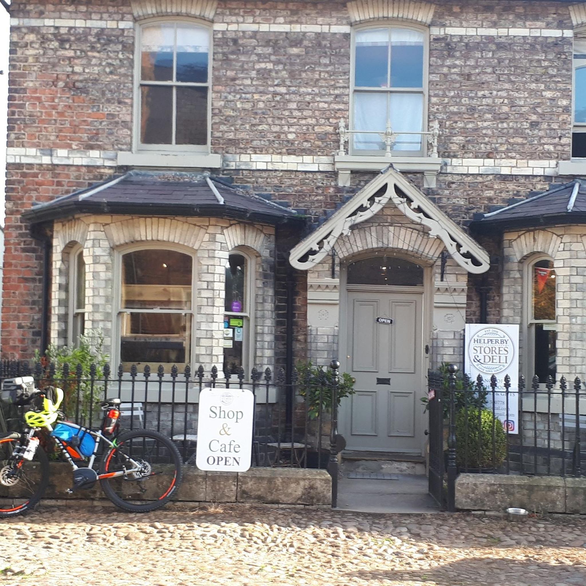
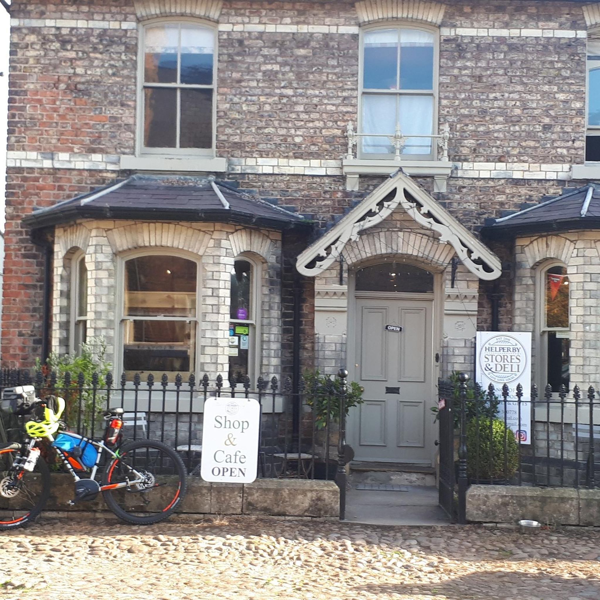
quiet spot off the road with a stream and a cricket field
0
0

St Michael and All Angels' Church, Littlethorpe is a Grade II listed parish church in the Church of England in Littlethorpe, North Yorkshire England.
1
0


Ten Mile Hill 40.76m P24.2 (134ft) County of Yorkshire Definitive List Summit
0
0
Frequently Asked Questions
How many running routes are available in Brafferton And Helperby?
There are over 100 running routes available around Brafferton And Helperby, offering a wide variety of options for all skill levels. This includes 15 easy routes, 81 moderate routes, and 19 difficult routes.
Are there easy running routes suitable for beginners or casual joggers?
Yes, Brafferton And Helperby offers 15 easy running routes, many of which feature mostly paved surfaces and tranquil paths, such as those along the River Swale. These are perfect for beginners or those looking for a relaxed run.
What kind of scenery or landmarks can I expect to see while jogging?
The region offers diverse scenery, from the flat riverside paths along the River Swale to views over the Vale of York and hints of the Howardian Hills. You can also encounter notable landmarks like the iconic Kilburn White Horse and the ancient Devil's Arrows. Mixed woodlands such as Hood Hill Plantation also provide immersive natural experiences.
Are there any longer or more challenging running trails in the area?
Absolutely. For those seeking a greater challenge, there are 19 difficult running routes. An example is the Roecliffe Village – Boroughbridge High Street loop from Boroughbridge, which covers over 25 km and offers a substantial workout through varied terrain.
Can I find circular running routes in Brafferton And Helperby?
Yes, many of the running routes in the area are circular, allowing you to start and finish at the same point. A popular choice is the Running loop from Sessay, which is a pleasant 5.8 km loop through the local countryside.
Are the running trails in Brafferton And Helperby dog-friendly?
While specific dog restrictions can vary by landowner, many of the public footpaths and trails in the North Yorkshire countryside are generally dog-friendly, especially if dogs are kept on a lead. It's always advisable to check local signage and be respectful of livestock and other trail users.
What do other runners say about the routes in Brafferton And Helperby?
The running routes in Brafferton And Helperby are highly rated by the komoot community, with an average score of 4.4 stars from over 9 reviews. Over 1,300 runners have explored the area, often praising the varied terrain, scenic views, and the peaceful atmosphere of the North Yorkshire countryside.
When is the best time of year to go jogging in this region?
The North Yorkshire countryside offers beautiful running conditions throughout much of the year. Spring and autumn provide pleasant temperatures and vibrant scenery. Summer is also great, though it's best to run in the mornings or evenings to avoid the midday heat. Winter runs can be invigorating, but some paths might be muddy or icy, so appropriate footwear is recommended.
Are there any running routes that pass by pubs or cafes?
While specific routes aren't listed as passing directly by pubs, the villages of Brafferton and Helperby, as well as nearby Boroughbridge, have local establishments where you can refuel after your run. For example, the Running loop from Boroughbridge finishes near the town, offering options for refreshments.
Where can I park when visiting the running routes?
Parking is generally available in the villages of Brafferton and Helperby, as well as in nearby towns like Boroughbridge. Look for designated public car parks or consider parking responsibly in village streets where permitted. Always check local signage for any restrictions.
Is public transport available to access the jogging trails?
Public transport options to Brafferton and Helperby are available, though they might be limited compared to larger towns. Local bus services connect these villages to larger hubs. Planning your route in advance and checking bus schedules is recommended if you intend to use public transport to reach the trailheads.
Are there family-friendly jogging options in Brafferton And Helperby?
Yes, the area offers several easy and moderate routes that are suitable for families. The flatter sections along the River Swale or through open countryside provide gentle terrain. The Running loop from Tholthorpe is a moderate 8.2 km path that offers views of the agricultural landscape, which could be a good option for active families.
What are some unique natural features or historical sites to look out for?
Beyond the Kilburn White Horse and Devil's Arrows, you might encounter the Aldborough Roman Site, offering a glimpse into ancient history. The Aldwark Bridge is another interesting structure, and Crayke Village and Castle provides excellent vantage points with views over the Vale of York.
Most popular routes around Brafferton And Helperby
Most popular attractions around Brafferton And Helperby

Get inspired with the komoot mobile app


Explore more
Browse the best Running Trails & Routes in other regions.
