The best road cycling routes around Whitehaven
4.3
(9)
755
riders
69
rides
Road cycling routes around Whitehaven offer diverse terrain, from the scenic Cumbrian coastline to the fells of the Lake District National Park. The region features coastal paths providing sea views and inland routes with significant elevation changes. Repurposed former railway lines also provide traffic-free cycling paths, offering accessible options through historically significant areas. This varied landscape caters to different cycling preferences and fitness levels.
Best road cycling routes around Whitehaven
- The most popular road cycling route is Hadrian's Cycleway Coastal Loop, a 64.2 miles (103.3 km) trail that takes 5 hours 11 minutes to complete. This difficult route follows the historic Hadrian's Cycleway along the coast.
- Another top favourite among local road cyclists is Little Langdale Tarn Road – Crummock Water loop from Corkickle, a difficult 81.9 miles (131.8 km) path. This challenging route ventures into the Lake District, featuring significant climbs and views of tarns and fells.
- Local road cyclists also love the The Gather Café – View of the Isle of Man loop from Whitehaven, a 33.3 miles (53.6 km) trail leading through coastal landscapes, often completed in about 2 hours 47 minutes.
- Road cycling around Whitehaven is defined by the Cumbrian coastline, the fells of the Lake District, and former railway lines. The network offers options for various ability levels, from moderate coastal loops to challenging rides with considerable elevation changes.
- The routes in Whitehaven are highly rated by the komoot community with an average score of 4.3 stars from several reviews. More than 700 road cyclists have used komoot to explore Whitehaven's varied terrain.
Last updated: July 7, 2026
5.0
(1)
4
riders
103km
05:12
820m
820m
Hard road ride. Very good fitness required. Mostly well-paved surfaces and easy to ride.
5.0
(2)
65
riders
143km
07:28
2,240m
2,240m
Hard road ride. Very good fitness required. Mostly well-paved surfaces and easy to ride.

Sign up for free
41
riders
53.1km
02:40
800m
800m
Moderate road ride. Good fitness required. Mostly well-paved surfaces and easy to ride.
41
riders
35.1km
01:38
310m
310m
Moderate road ride. Good fitness required. Mostly well-paved surfaces and easy to ride.
5.0
(1)
35
riders
32.4km
02:02
290m
290m
Moderate road ride. Good fitness required. Mostly well-paved surfaces and easy to ride.
Get access to more routes and recommendations from other explorers.
Sign up for free
Already have an account?
Our route recommendations are based on thousands of hikes, rides, and runs completed by other people on komoot.
Start today with a free account
Your next adventure awaits.
Login or Signup
Popular around Whitehaven
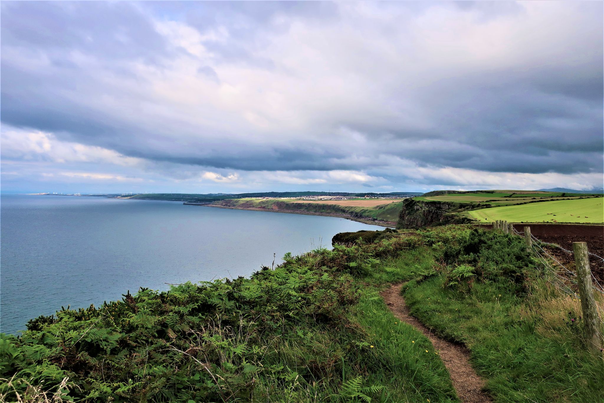
The Cumbria Coastal Way — Hike vibrant estuaries and historic coastline
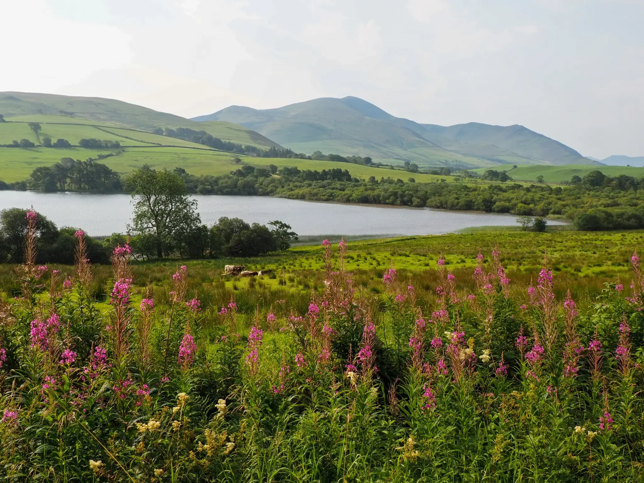
Reivers Cycle Route – Lakes, legends & lovely landscapes
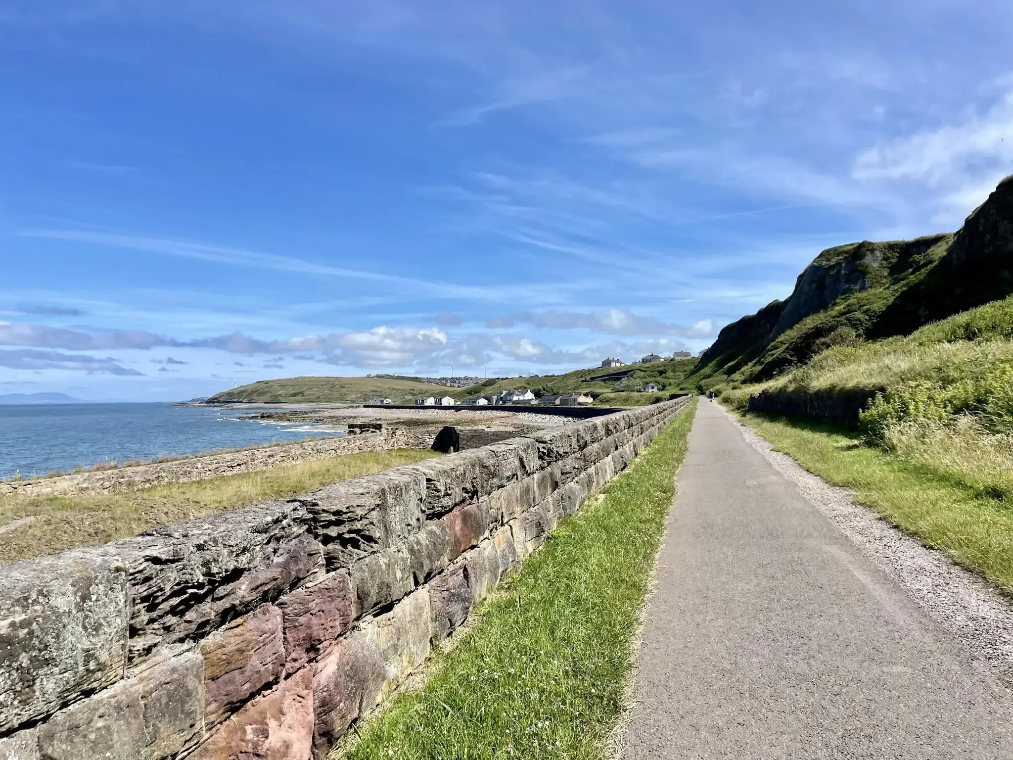
Hadrian's Cycleway – Crumbling turrets and beautiful landscapes
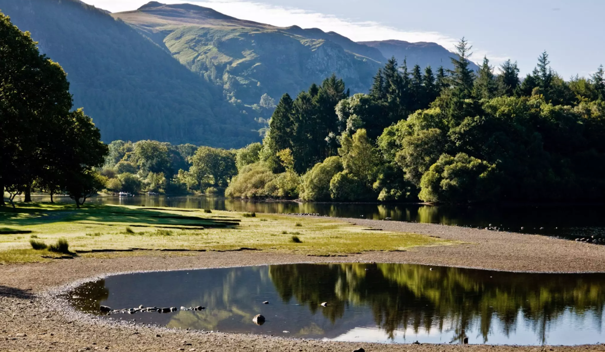
C2C — Cycling spectacular wilderness from coast to coast
Cycling around Whitehaven
Hiking around Whitehaven
Running Trails around Whitehaven
MTB Trails around Whitehaven
Other adventures around Whitehaven


Tips from the Community

Navvies Bridge is a modern pedestrian and cycle bridge over the River Derwent in Workington, Cumbria, built in 2011 to replace an earlier bridge that was destroyed in the 2009 floods. The new bridge is designed as a twin-ribbed untied bowstring arch of steel, with a span of 84.8 metres and a deck width of 3 metres — almost double the width of the original bridge.
10
0
Siddick Ponds is a valuable nature reserve in Cumbria, designated as both a Local Nature Reserve (LNR) and a Site of Special Scientific Interest (SSSI). The area comprises two large ponds—one freshwater and one brackish—surrounded by extensive reedbeds, creating a unique ecological combination within the region. This diverse habitat makes Siddick Ponds one of Cumbria's most important birdwatching areas, hosting a diverse community of bird species year-round.
9
0
Isel Bridge, located near Setmurthy in the northern Lake District, is an elegant Grade II-listed bridge that spans the River Derwent. Built in 1812 to replace an older bridge dating from 1691, it consists of three segmental arches and two piers of calciferous and pink sandstone, with a solid parapet and saddleback covering. The bridge is situated in a conservation area and is a popular passage for walkers and cyclists, including as part of the Allerdale Ramble and routes to Watch Hill and Setmurthy Common. Its location offers beautiful views of the surrounding hills and valleys, and it's a peaceful place to stop when touring the western Lake District.
8
0


Amazing scenery of the lake and fells, good place for photos
0
0
The lake is fed by numerous streams including the beck from Scale Force. The River Cocker starts from here, flowing towards Cockermouth where it joins the River Derwent.
0
0

Steady climb most the way to the pass then a 25% kick at the end but not for long, great views along the way
0
0
Frequently Asked Questions
How many road cycling routes are available around Whitehaven?
Whitehaven offers a wide selection of road cycling routes, with over 60 options available. These routes cater to various skill levels, from moderate coastal loops to challenging rides with significant elevation changes into the Lake District.
What kind of terrain can I expect on road cycling routes near Whitehaven?
The terrain around Whitehaven is diverse. You'll find scenic coastal paths offering sea views, routes venturing into the fells of the Lake District National Park with considerable elevation gain, and repurposed former railway lines providing traffic-free, accessible paths through historically significant areas. This variety ensures options for all preferences.
Are there challenging road cycling routes with significant climbs in Whitehaven?
Yes, Whitehaven serves as a gateway to the Lake District, offering routes with substantial climbs. For instance, the Little Langdale Tarn Road – Crummock Water loop from Corkickle is a difficult 81.9-mile (131.8 km) path featuring over 2,100 meters of elevation gain, venturing deep into the fells.
Are there any easier or family-friendly road cycling options in Whitehaven?
For easier rides, the region features repurposed former railway lines that have been converted into traffic-free cycling paths. These provide accessible options, such as the Whitehaven-Rowrah/Ennerdale Cycle Path, which is a 10-mile surfaced route leading towards Ennerdale Lake and Ennerdale Forest. While not explicitly listed as easy in the guide data, these types of paths are generally suitable for families and those seeking less strenuous rides.
What natural features or landmarks can I see while road cycling around Whitehaven?
Road cycling routes around Whitehaven offer access to stunning natural features and landmarks. You can encounter coastal views, such as those from St Bees South Head, or explore areas like Fleswick Bay. Inland, routes may pass by ancient sites like the Kinniside Stone Circle or offer panoramic views from Flat Fell Summit Cairn.
Can I find circular road cycling routes starting from Whitehaven?
Yes, many road cycling routes around Whitehaven are designed as loops, allowing you to start and finish in the same location. An example is The Gather Café – View of the Isle of Man loop from Whitehaven, a 33.3-mile (53.6 km) trail that offers coastal landscapes and returns to Whitehaven.
What are the public transport options for cyclists in Whitehaven?
Whitehaven is connected by local bus services and a train station, which can be useful for cyclists. While specific details on bike carriage vary, trains often accommodate bicycles outside of peak hours. It's advisable to check with local operators for current policies and schedules if you plan to combine cycling with public transport.
Are there places to stop for refreshments along the road cycling routes?
Yes, several routes incorporate or pass near places where you can stop for refreshments. For example, the route named The Gather Café – View of the Isle of Man loop from Whitehaven explicitly mentions a café, indicating that such stops are part of the cycling experience in the area. Many towns and villages along the routes will also have pubs and cafes.
Is Whitehaven a good starting point for longer, multi-day cycling adventures?
Absolutely. Whitehaven is famously the starting point for the popular 140-mile (approximately 225 km) Coast to Coast (C2C) Cycle Route. This iconic route traverses the scenic Lake District and the North Pennines, making it an excellent choice for multi-day cycling adventures across England.
What do other road cyclists enjoy most about the routes in Whitehaven?
The road cycling routes in Whitehaven are highly rated by the komoot community, with an average score of 4.3 stars from numerous reviews. Cyclists often praise the diverse landscapes, from the dramatic Cumbrian coastline to the challenging fells of the Lake District, and the variety of routes catering to different abilities.
Are there any routes that follow historic paths or offer unique cultural insights?
Yes, the region has repurposed former railway lines into traffic-free cycling paths, offering unique routes through historically significant areas. Additionally, Whitehaven is the start of the Hadrian's Cycleway Coastal Loop, which follows part of the historic Hadrian's Cycleway, providing a blend of natural beauty and cultural heritage.
What are some moderate difficulty road cycling routes around Whitehaven?
For those seeking a moderate challenge, routes like Forest Path in St Bees – Clints Quarry loop from Corkickle (35.1 km) or Forest Path in St Bees – View of Sellafield Site loop from Corkickle (36.2 km) offer engaging rides without the extreme elevation of the more difficult Lake District fells.
Most popular routes around Whitehaven
Most popular attractions around Whitehaven

Get inspired with the komoot mobile app


Explore more
Browse the best Road cycling routes in other regions.
