The best road cycling routes around Elslack
4.9
(85)
4,773
riders
196
rides
Road cycling routes around Elslack are set within a serene rural environment, bordering the Yorkshire Dales National Park. The region features a landscape of lush dales, windswept hills, and extensive moors, characterized by distinctive limestone scenery and traditional pastoral elements. Cyclists encounter varied terrain, from gentle valley roads to challenging climbs with significant elevation gains. The area offers a network of mostly paved surfaces suitable for road cycling.
Best road cycling routes around Elslack
- The most popular road cycling route…
Last updated: September 29, 2026
4.5
(2)
26
riders
24.0km
01:07
190m
190m
Easy road ride. Great for any fitness level. Mostly well-paved surfaces and easy to ride.
5.0
(2)
127
riders
124km
05:46
1,340m
1,340m
Hard road ride. Very good fitness required. Some segments of this route may be unpaved and difficult to ride.

4.8
(6)
86
riders
Moderate road ride. Good fitness required. Mostly well-paved surfaces and easy to ride.
59
riders
149km
07:46
2,470m
2,470m
Hard road ride. Very good fitness required. Some segments of this route may be unpaved and difficult to ride.
5.0
(1)
59
riders
76.2km
03:33
660m
660m
Moderate road ride. Good fitness required. Mostly well-paved surfaces and easy to ride.
Get access to more routes and recommendations from other explorers.
Already have an account?
Our route recommendations are based on thousands of hikes, rides, and runs completed by other people on komoot.
Start today with a free account
Your next adventure awaits.
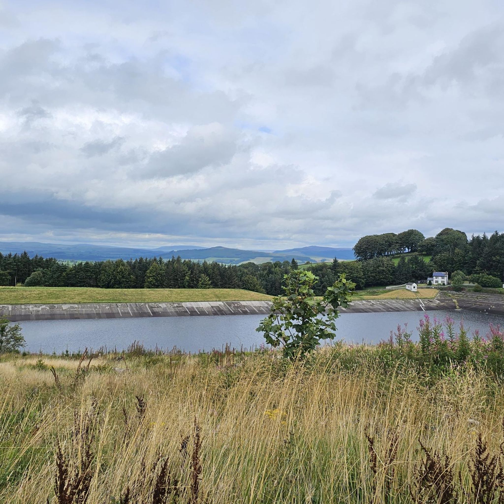
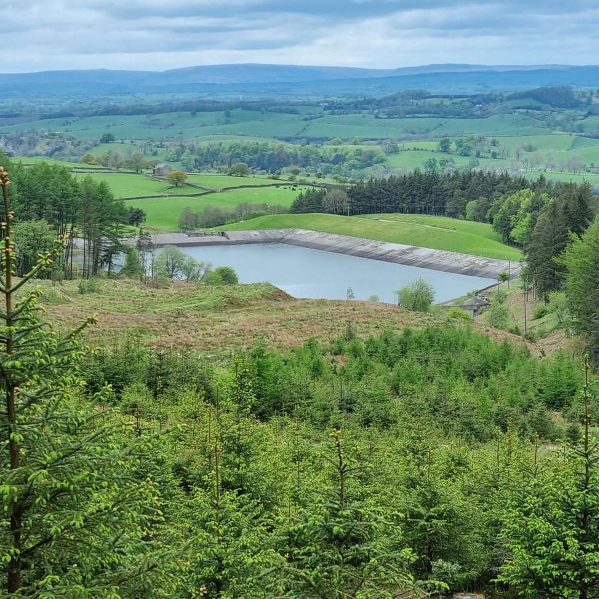
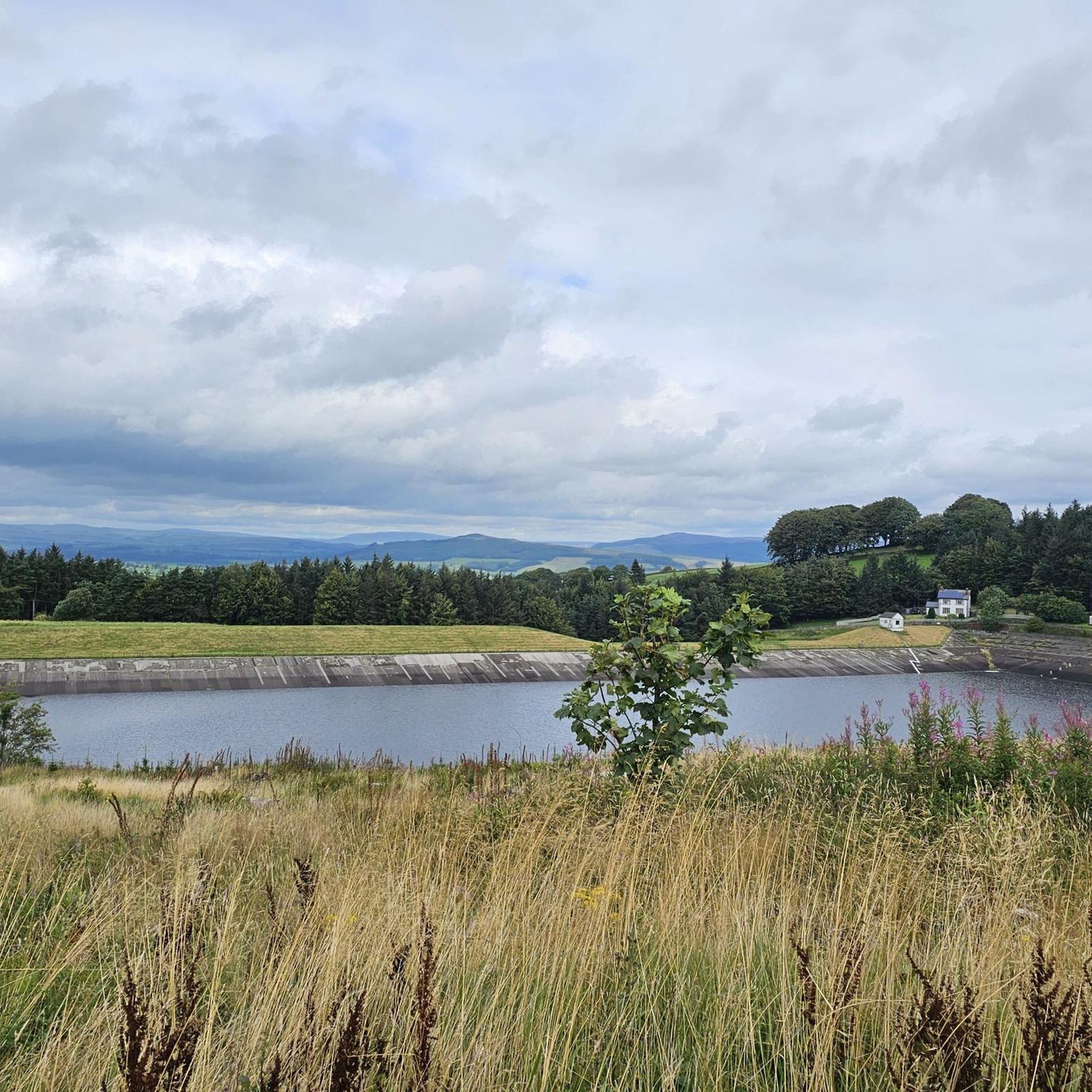
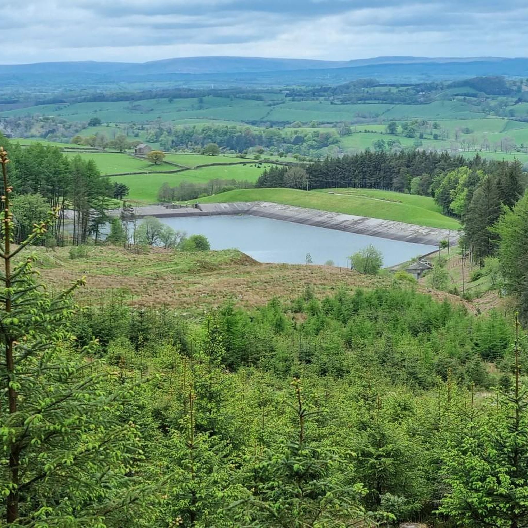

Tips from the Community

Tough sustained climb with a very steep section.
0
0

Brutal. Go around the wrong side of the road and plead forgiveness to the motorists (good luck with that). Take care coming down. With lots of gravel on the road
0
0

Gears 34 x 34 . Keep to outside of bend. Pace yourself
0
0

One of the prettiest villages in the Ribble Valley, the village sits between Clitheroe and the Fells towards the Trough of Bowland.
0
0
The village of Waddington is quiet and a beautiful part of the Ribble Valley. Paths and quiet lanes leading out in each direction and access to the Trough of Bowland and Waddington Fell.
0
0


This is a free car park with 19 spaces and 2 disabled spaces. There are public conveniences including an accessibility bathroom. Overnight stays are prohibited. What3words location: linked, buckling, assure
1
0
Hellifield nestles on the edge of the Yorkshire Dales National Park and is surrounded by rolling hills, dry stone walls and agricultural land.
1
0
Frequently Asked Questions
How many road cycling routes are available around Elslack?
Elslack offers a wide variety of road cycling routes, with over 200 different options available. These routes cater to all levels, including 27 easy, 132 moderate, and 53 difficult trails, ensuring there's something for every cyclist.
What kind of terrain can I expect on road cycling routes near Elslack?
Road cycling around Elslack features a diverse landscape. You'll encounter lush dales and valleys, windswept hills, and extensive heather-covered moors. The region is also known for its distinctive limestone scenery, including dramatic scars and pavements. Most routes are on well-maintained paved surfaces, offering a mix of gentle stretches and challenging climbs.
Are there options for different fitness levels?
Absolutely. Elslack's road cycling network is designed to accommodate various fitness levels. You can find easy, flat loops perfect for a relaxed ride, such as the Gargrave flat loop — Yorkshire Dales National Park. For those seeking a challenge, there are difficult routes with significant elevation gains, like the Ribblehead Viaduct – Kilnsey Crag loop from Gargrave.
What natural features or landmarks can I see while road cycling near Elslack?
The routes often pass through the stunning Yorkshire Dales National Park, offering views of its unique stepped dales, drystone walls, and traditional stone-built field barns. You might also encounter impressive limestone formations. Notable viewpoints and summits in the area include Sharp Haw Summit, Crookrise Trig Point, and Pinhaw Beacon, providing expansive vistas.
Are there any historical sites or attractions accessible by road bike?
While cycling, you can pass by or make a short detour to historical points of interest. Nearby Lund's Tower on Earl's Crag is a notable man-made monument. The region also has historical significance with sites like the Elslack Roman Fort (though mostly earthworks today) and the well-preserved Skipton Castle within a few miles, offering interesting destinations for a ride.
What do other road cyclists say about the routes around Elslack?
The road cycling routes around Elslack are highly regarded by the komoot community, boasting an impressive average rating of 4.9 stars from over 60 reviews. Cyclists frequently praise the varied terrain, from gentle valley roads to challenging climbs, and the picturesque scenery of the Yorkshire Dales National Park.
Are there any circular road cycling routes around Elslack?
Yes, many of the road cycling routes around Elslack are designed as loops, offering convenient circular journeys. Examples include the easy Gargrave flat loop — Yorkshire Dales National Park and the more challenging Hellifield Village Entrance – Halton West Countryside Views loop from Thornton in Craven, allowing you to start and finish at the same point.
Where can I find parking for road cycling routes in Elslack?
While specific parking areas for each route vary, Elslack and nearby villages like Gargrave often provide public parking facilities suitable for cyclists. It's advisable to check local signage or online resources for designated parking spots near your chosen starting point.
Are there places to stop for refreshments or food along the routes?
Yes, the villages and towns within and bordering the Yorkshire Dales National Park, such as Gargrave and Thornton in Craven, offer various amenities including cafes and pubs. Many routes are designed to pass through or near these settlements, providing opportunities for refreshment stops.
What is the best time of year for road cycling in Elslack?
The spring and summer months (April to September) generally offer the most favorable conditions for road cycling in Elslack, with milder weather and longer daylight hours. However, the region's beauty can be enjoyed year-round, with autumn providing stunning foliage and winter offering crisp, quiet rides, though conditions can be more challenging.
Are there any long-distance road cycling routes for experienced riders?
For experienced riders seeking a longer challenge, routes like the difficult Malham Cove Climb – Pateley Bridge loop from Gargrave cover significant distances and elevation. This particular route spans nearly 150 km and includes substantial climbs, making it ideal for those with very good fitness.
Most popular attractions around Elslack

Get inspired with the komoot mobile app


Explore more
Browse the best Road cycling routes in other regions.
