The best road cycling routes around Rathmell
4.7
(76)
3,392
riders
119
rides
Road cycling routes around Rathmell are situated in the Yorkshire Dales, characterized by a landscape of rolling hills, valleys, and limestone formations. The region features quiet roads and varied terrain suitable for road cycling. Geological features such as Malham Cove and Attermire Scar provide a dramatic backdrop to the area's routes. The general elevation changes offer both challenging climbs and scenic stretches.
Best road cycling routes around Rathmell
- The most popular road cycling route is View of Pen-y-ghent – Ribblehead…
Last updated: June 26, 2026
5.0
(4)
211
riders
63.0km
02:58
670m
670m
Moderate road ride. Good fitness required. Mostly well-paved surfaces and easy to ride.
110
riders
64.0km
02:53
690m
690m
Moderate road ride. Good fitness required. Mostly well-paved surfaces and easy to ride.

Sign up for free
113
riders
58.1km
02:34
500m
500m
Moderate road ride. Good fitness required. Mostly well-paved surfaces and easy to ride.
5.0
(2)
73
riders
Moderate road ride. Good fitness required. Mostly well-paved surfaces and easy to ride.
79
riders
46.6km
02:29
550m
550m
Moderate road ride. Good fitness required. Some segments of this route may be unpaved and difficult to ride.
Get access to more routes and recommendations from other explorers.
Sign up for free
Already have an account?
Our route recommendations are based on thousands of hikes, rides, and runs completed by other people on komoot.
Start today with a free account
Your next adventure awaits.
Login or Signup
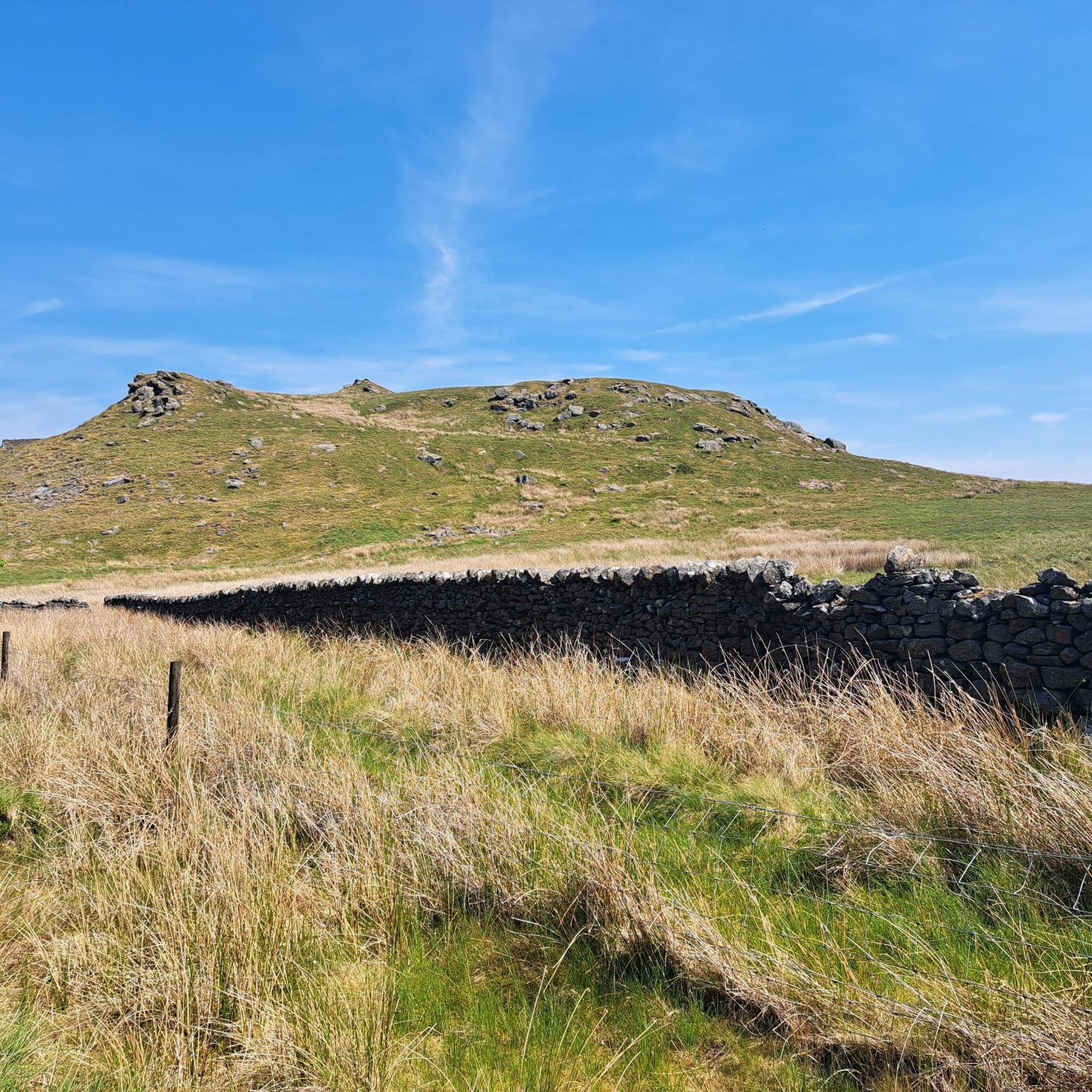
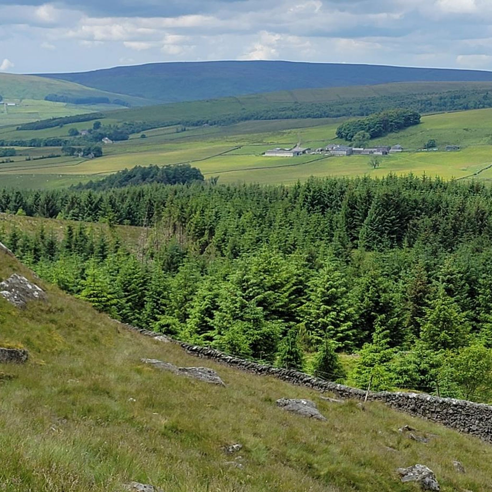

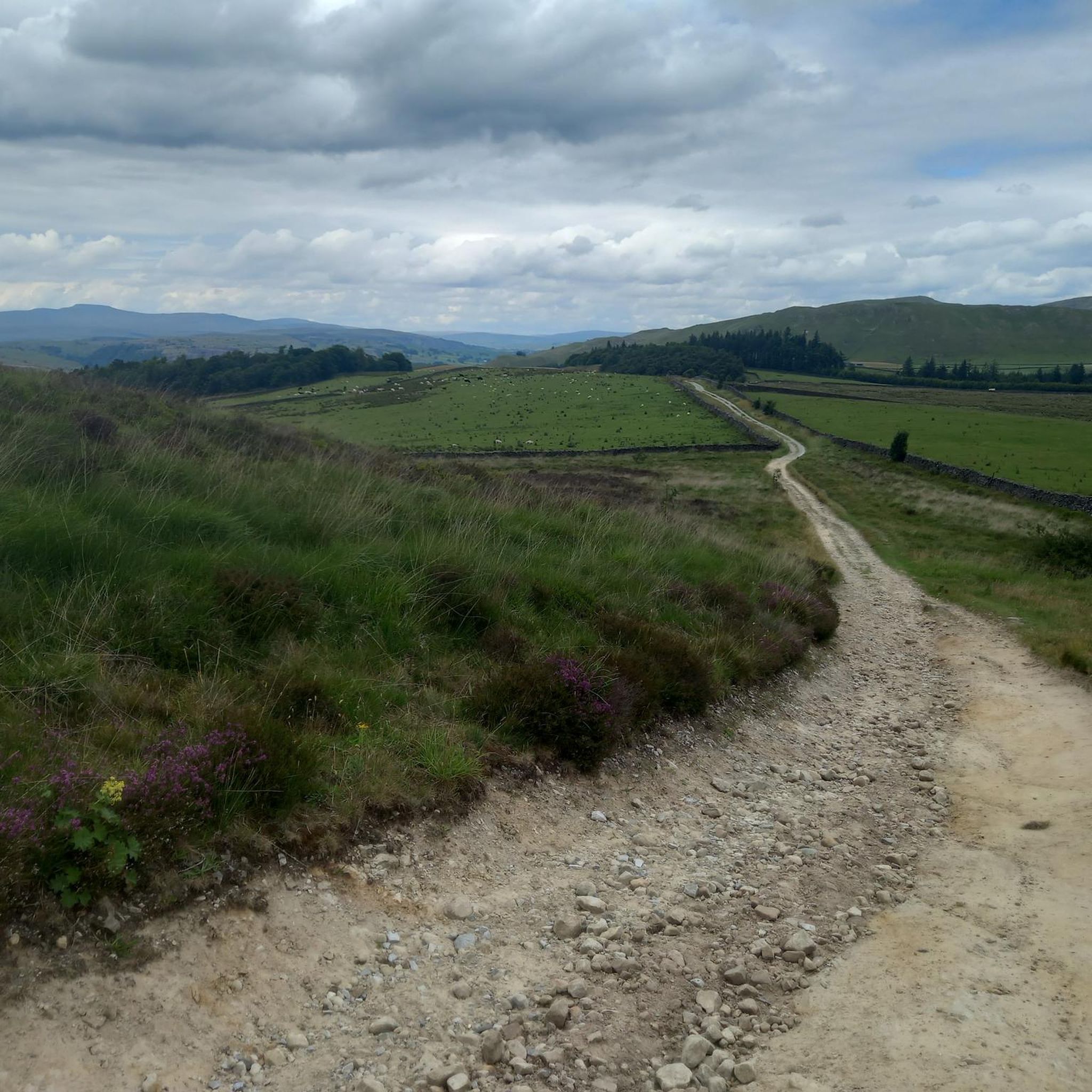
Tips from the Community


Big climb out of Giggleswick. It does end eventually but it might make you question why cycling is your favorite hobby.
0
0
Fantastic cafe and bike shop. The have a workshop upstairs and a great variety of products. Their rental bikes look rad for tackling the local routes!
0
0

This is marked as an intermediate walk which, in the main is accurate. The walk starts with a steep incline, well covered in the walk description. What is less documented is the subsequent decent which can be challenging for the novice/ intermediate walker. The path down is narrow and the potential fall severe. Please be aware. Other than that, the walk offers wonderful views after the initial climb and relatively sedate walk after decent.
0
0

Great guys. Let us charge our E bikes up free of charge. Great little cafe inside. Basically just nice helpful people happy to spend a bit of time giving you advice and to pass the time away.
0
0

Frequently Asked Questions
How many road cycling routes are available around Rathmell?
There are over 120 road cycling routes around Rathmell, offering a wide variety of options for exploring the Yorkshire Dales.
What kind of terrain can I expect when road cycling in Rathmell?
Rathmell's road cycling routes are characterized by rolling hills, valleys, and dramatic limestone formations typical of the Yorkshire Dales. You'll find a mix of quiet country lanes and varied terrain, providing both challenging climbs and scenic stretches.
Are there road cycling routes for different skill levels in Rathmell?
Yes, Rathmell offers routes for all abilities. You can find 24 easy routes, 62 moderate routes, and 34 difficult routes, ensuring there's something suitable whether you're a beginner or an experienced cyclist.
What natural landmarks can I see while road cycling near Rathmell?
The region boasts impressive natural landmarks. You can cycle past the iconic Malham Cove, a 230-foot high limestone cliff, or explore the rugged skyline of Attermire Scar. Some routes may also take you near Catrigg Force Waterfall.
Are there any notable viewpoints along the road cycling routes?
Yes, many routes offer stunning vistas. You might encounter viewpoints such as Sugar Loaf Hill, Smearsett Scar Trig Point, or Warrendale Knotts Trig Point, providing panoramic views of the Dales.
What do other cyclists say about road cycling in Rathmell?
The road cycling routes around Rathmell are highly rated by the komoot community, with an average score of 4.7 stars from over 70 reviews. Cyclists often praise the stunning scenery, varied terrain, and quiet country lanes that make for a rewarding experience.
Are there any challenging road cycling routes around Rathmell?
For those seeking a challenge, Rathmell offers 34 difficult routes. One such route is the Henside Road Near Malham Tarn – Malham Cove Climb loop from Settle, which features significant elevation gain and takes you past notable landmarks.
Can I find circular road cycling routes in Rathmell?
Yes, many of the road cycling routes around Rathmell are designed as loops, allowing you to start and finish in the same location. An example is the Bowland Knotts Climb – View of the Forest of Bowland loop from Long Preston, which offers a scenic circular journey.
What are some of the longer road cycling routes available?
For longer rides, you can explore routes like the View of Pen-y-ghent – Ribblehead Viaduct loop from Long Preston, which covers approximately 39.2 miles (63.1 km), or the Waddington Village – Hodder Bridge loop from Long Preston, spanning about 39.6 miles (63.8 km).
Are there routes that pass through villages or offer opportunities for stops?
Many routes traverse through charming villages, offering opportunities for breaks. For instance, the Sawley Village Signpost Climb – Waddington Village loop from Settle leads through the Sawley and Waddington areas, where you might find local amenities.
Most popular attractions around Rathmell

Get inspired with the komoot mobile app


Explore more
Browse the best Road cycling routes in other regions.
