The best walks and hikes around Myndtown
4.6
(1470)
10,613
hikers
379
hikes
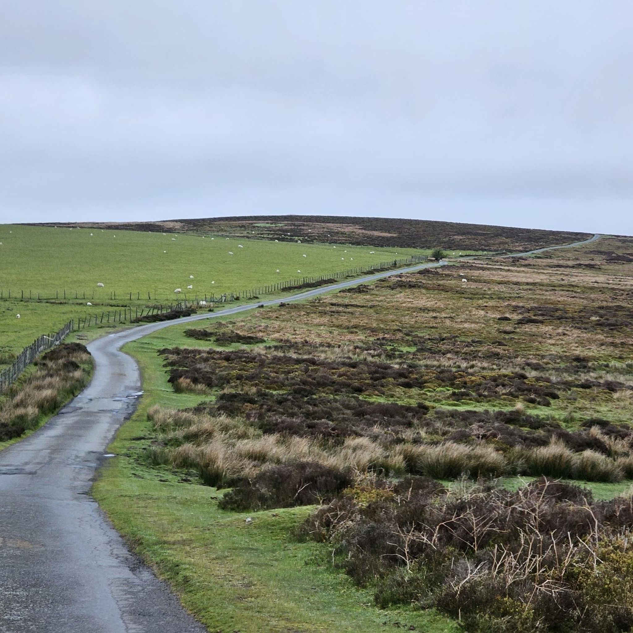
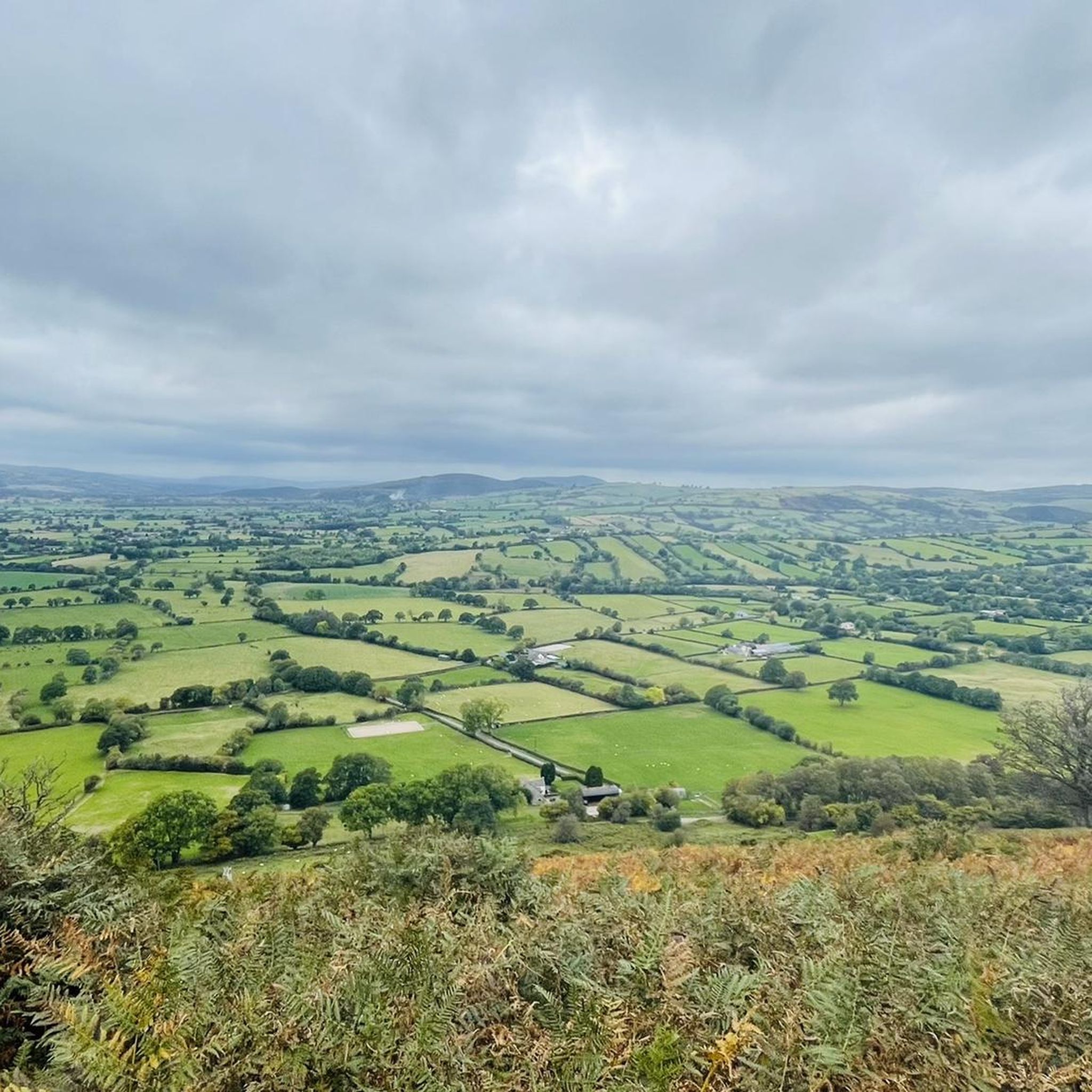
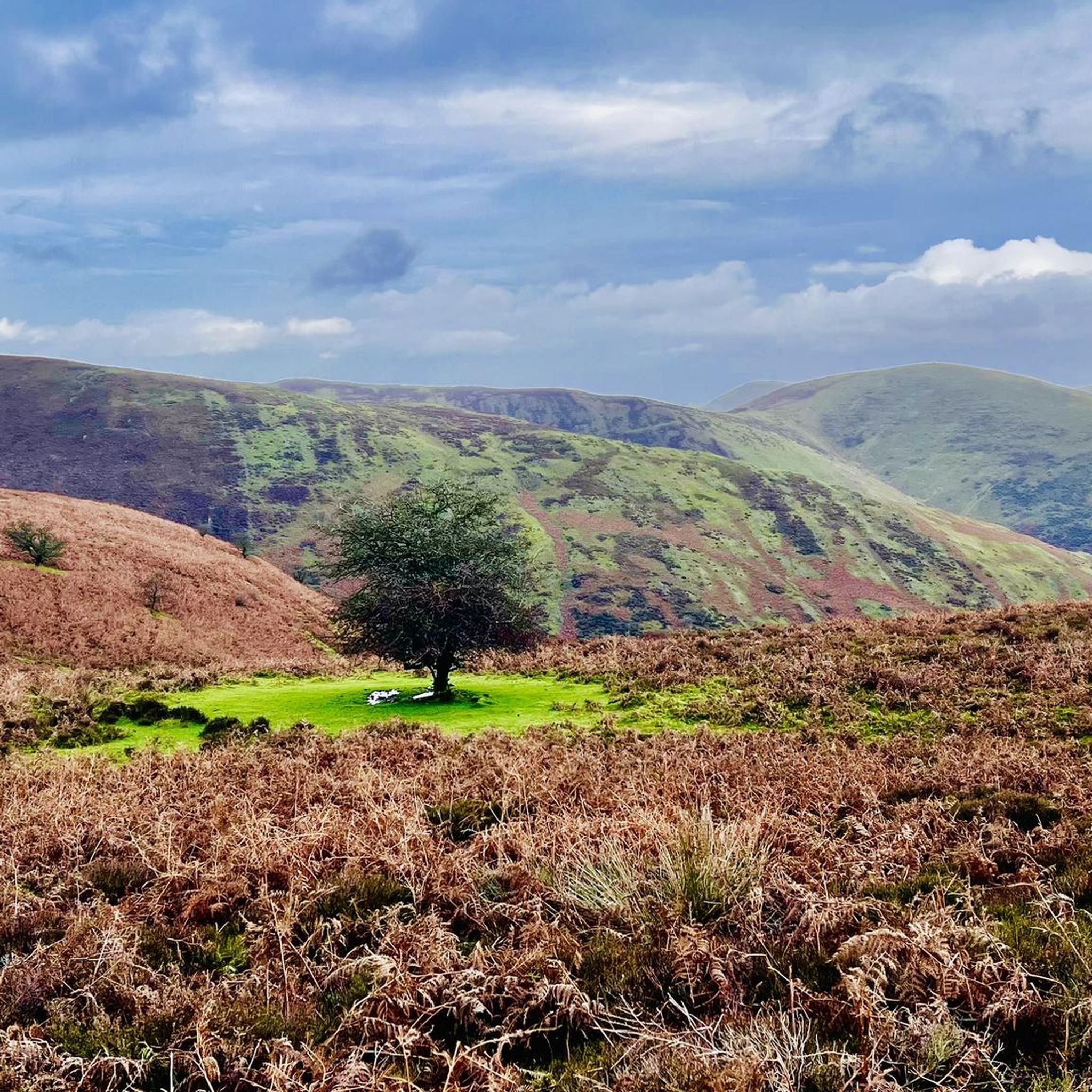
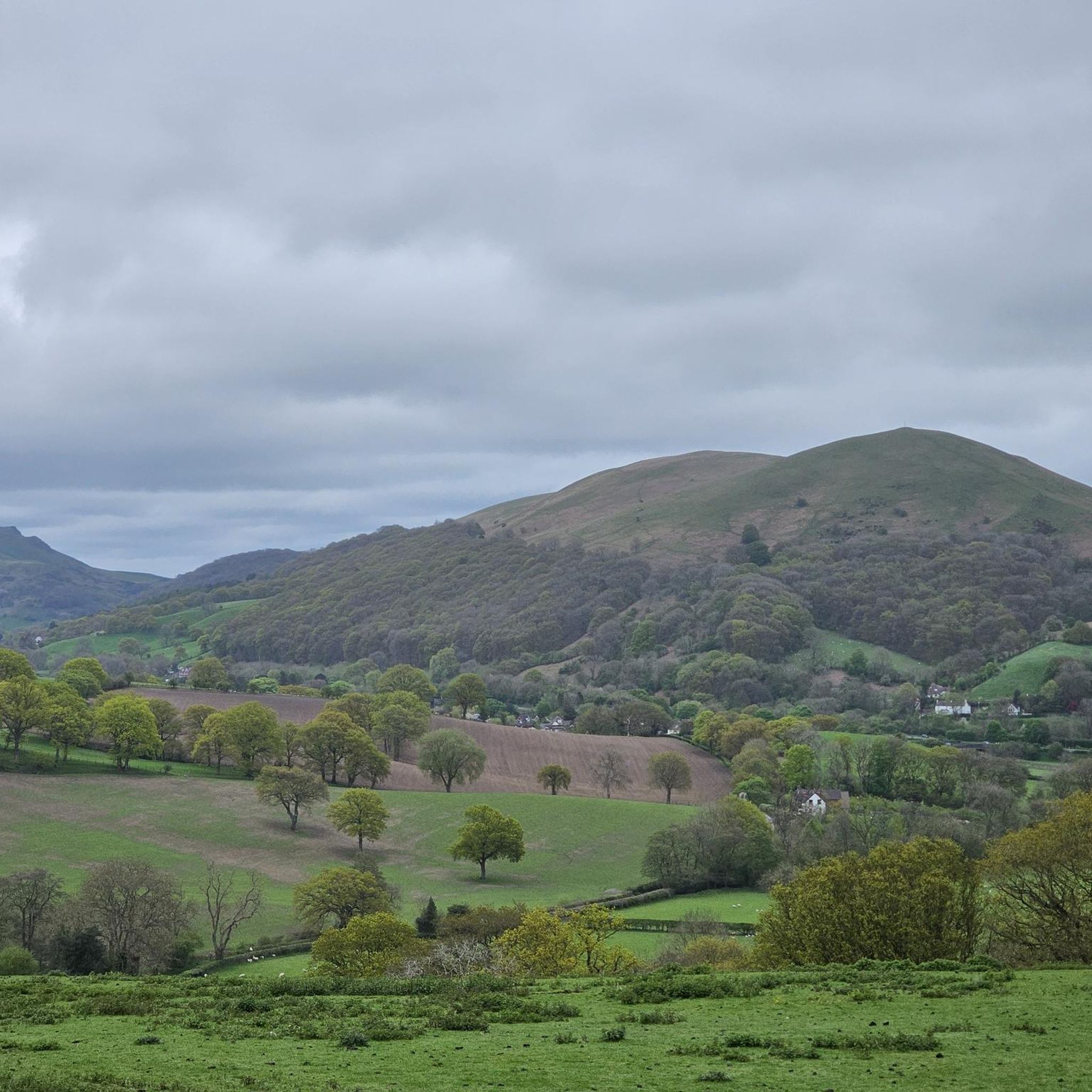
Hiking around Myndtown provides access to the diverse landscapes of the Shropshire Hills National Landscape. The region is characterized by expansive moorland plateaus like The Long Mynd, steep valleys, and distinctive quartzite ridges such as The Stiperstones. Hikers can also find ancient earthworks, limestone escarpments, and volcanic hills, offering varied terrain for exploration.
Best hiking trails around Myndtown
- The most popular hiking route is Long Mynd Ridge – Carding Mill Valley loop from Churchmoor Farm, a 12.9 miles (20.9…
Last updated: May 14, 2026
5.0
(5)
34
hikers
20.9km
06:07
540m
540m
Hard hike. Very good fitness required. Easily-accessible paths. Suitable for all skill levels.
5.0
(2)
25
hikers
10.9km
03:13
300m
300m
Moderate hike. Good fitness required. Easily-accessible paths. Suitable for all skill levels.

Sign up for free
21
hikers
11.4km
03:19
310m
310m
Moderate hike. Good fitness required. Easily-accessible paths. Suitable for all skill levels.
1.0
(1)
4
hikers
12.5km
03:38
320m
320m
Moderate hike. Good fitness required. Easily-accessible paths. Suitable for all skill levels.
5.0
(1)
5
hikers
7.71km
02:21
250m
250m
Moderate hike. Good fitness required. Easily-accessible paths. Suitable for all skill levels.
Get access to more routes and recommendations from other explorers.
Sign up for free
Already have an account?
Our route recommendations are based on thousands of hikes, rides, and runs completed by other people on komoot.
Start today with a free account
Your next adventure awaits.
Login or Signup

Tips from the Community

The climb up the Black Knoll isn't too steep but it does go on for a while with a few false summits tricking you into thinking that you're "almost there". The climb is absolutely worth it however as the views that open up are absolutely gorgeous.
0
0

Sturdy footwear recommended, we completed a 4 mile hike, with a couple of steep rock steps to walk up along the way. Other than the steps, the majority of paths are easily accessible. Can get busy when the weather is very good and if you’re lucky, you may get a treat and see the wild horses.
1
0
Rocky path. It is by and large stable so shouldn't cause too much of an issue but some care is required.
2
0

Nice Descent through the woods. Different lines to choose from.
0
0

Carding Mill Valley is a stunning valley that runs north-west out of the charming village of Church Stretton. It is the gateway to a plethora of gentle walks, hikes, and bike rides that are available in the Long Mynd area. The Ashbrooke River runs through the centre of this stunning valley, and located in its upper reaches is Lightspout Waterfall. The valley is bordered by the steep but moderate hills of Bodbury Hill and Haddon Hill to the north and Burway Hill and Cow Ridge to the south. There is a National Trust car park, information centre, and cafe at the start of the valley, but get there early, especially on summer weekends and bank holidays, as this is a very popular area.
3
0

Great little cafe with good coffee
0
0

great place for coffee and to meet up
0
0
Frequently Asked Questions
How many hiking trails are available in Myndtown?
Myndtown offers a wide variety of hiking experiences, with over 380 routes recorded on komoot. These include more than 110 easy trails, over 230 moderate paths, and 40 challenging routes for experienced hikers, ensuring options for all skill levels.
What do other hikers enjoy most about the trails in Myndtown?
The hiking trails in Myndtown are highly rated by the komoot community, with an average score of 4.6 stars from over 1,300 reviews. Hikers frequently praise the diverse landscapes, from expansive moorland to steep valleys, and the stunning panoramic views, particularly from areas like The Long Mynd.
Are there any easy or family-friendly hiking routes in Myndtown?
Yes, Myndtown has over 110 easy routes suitable for families or those seeking a more relaxed walk. While specific family-friendly routes aren't highlighted here, many of the easier trails offer gentle terrain through picturesque valleys and woodlands. For example, the View of Shropshire Hills loop from Myndtown is a moderate 7.7 km route that provides lovely scenery without extreme difficulty.
Can I find challenging hikes in the Myndtown area?
Absolutely. For those seeking a challenge, Myndtown offers 40 difficult hiking routes. A prime example is the Long Mynd Ridge – Carding Mill Valley loop from Churchmoor Farm, a demanding 20.9 km trail that traverses the Long Mynd ridge, featuring significant elevation gain and offering extensive views.
Are there any circular walks available in Myndtown?
Many of the trails in Myndtown are designed as circular routes, allowing you to start and finish at the same point. Examples include the View of Shropshire Hills loop from Hamperley, a moderate 10.9 km path, and the Inn on the Green, Wentnor – Linley Beeches loop from Wentnor, which is 12.5 km long.
Are dogs allowed on the hiking trails in Myndtown?
The Shropshire Hills National Landscape, including the Myndtown area, is generally dog-friendly. However, it's important to keep dogs under close control, especially near livestock or ground-nesting birds, and to follow the Countryside Code. Some areas, particularly nature reserves, may have specific rules, so always check local signage.
What natural attractions or landmarks can I see along the trails?
Myndtown's trails lead to several notable natural attractions and historical landmarks. You can explore the picturesque Carding Mill Valley, discover the dramatic quartzite formations of the Stiperstones Ridge, or visit the ancient hillfort of Caer Caradoc. For a unique sight, the Lightspout Waterfall offers a refreshing stop.
Where can I find parking for Myndtown hikes?
Parking is available at various popular starting points for hikes in the Myndtown area. For example, Carding Mill Valley, a common access point for the Long Mynd, has National Trust car parks. Other trailheads often have designated parking areas, though these can be smaller. It's advisable to check specific route details for parking information.
Is public transport available to reach the hiking trails?
Public transport options to the more remote trailheads in Myndtown can be limited. However, local bus services connect some of the larger villages and towns within the Shropshire Hills, which may provide access to certain starting points. Planning your route in advance and checking local bus timetables is recommended.
What kind of wildlife can I expect to see while hiking in Myndtown?
The diverse habitats of Myndtown support a rich array of wildlife. You might spot various bird species, including red kites, skylarks, and ravens, particularly over the moorlands. The area is also home to common lizards, frogs, and a variety of insects like green hairstreak butterflies. Keep an eye out for rare plant species, especially along Wenlock Edge.
What is the best time of year to hike in Myndtown?
Myndtown offers rewarding hiking experiences throughout the year. Spring brings vibrant wildflowers and nesting birds, while summer provides longer daylight hours and generally warmer weather. Autumn showcases stunning foliage across the hills. Winter hikes can be beautiful, especially with snow, but require appropriate gear and caution due to potentially challenging conditions on exposed moorland.
Are there any historical sites or ancient routes to explore?
Yes, the Myndtown area is rich in history. You can walk along sections of the ancient Port Way, a Bronze Age track that runs along the ridgeway of the Long Mynd. The landscape also features Iron Age hill forts like Bodbury Rings and Caer Caradoc, as well as remnants of old lead mine workings, offering glimpses into the region's past.
Most popular attractions around Myndtown

Get inspired with the komoot mobile app


Explore more
Browse the best Hikes in other regions.
