The best walks and hikes around Leebotwood
4.6
(1279)
9,853
hikers
321
hikes
Hikes around Leebotwood are set within the Shropshire Hills, a landscape defined by a mix of geological features. The area includes the expansive heather-clad plateau of the Long Mynd to the west and the distinct volcanic ridges of Caer Caradoc and The Lawley to the east. This varied terrain provides a network of walking trails near Leebotwood that cross open moorland, ascend prominent hills, and follow ancient tracks.
Best hiking trails around Leebotwood
- The most popular hiking route is Hope Bowdler Hill summit cairn – View of Long Mynd loop from Cardington, a 7.6 mile (12.2 km) trail that takes around 3 hours 57 minutes to complete. The route features ascents to hill summits with views across the surrounding landscape.
- Another top favourite among local hiking enthusiasts is Lawley Ridge – Caer Caradoc loop from Longnor, a difficult 11.1 mile (17.8 km) path. This challenging hike follows the ridges of 2 of the area's most notable hills.
- Local hiking enthusiasts also love the Caer Caradoc – Three Fingers Rock loop from All Stretton, a 3.2 mile (5.1 km) trail leading through the hills, often completed in about 1 hour 47 minutes.
- Hiking around Leebotwood is defined by heather-covered plateaus, ancient volcanic ridges, and deep valleys known as batches. The network of paths offers routes for various fitness levels, from shorter hill circuits to longer ridge walks.
- The routes in Leebotwood are highly rated by the komoot community with an average score of 4.7 stars from over 1,100 reviews. More than 9,000 hikers have used komoot to explore Leebotwood's varied terrain.
Last updated: May 12, 2026
4.7
(19)
104
hikers
12.2km
03:57
510m
510m
Moderate hike. Good fitness required. Easily-accessible paths. Suitable for all skill levels.
4.9
(10)
69
hikers
17.8km
05:24
530m
530m
Hard hike. Very good fitness required. Easily-accessible paths. Suitable for all skill levels.

Sign up for free
5.0
(1)
21
hikers
8.20km
02:58
490m
490m
Moderate hike. Good fitness required. Easily-accessible paths. Suitable for all skill levels.
4.7
(11)
54
hikers
9.07km
02:42
250m
250m
Moderate hike. Good fitness required. Easily-accessible paths. Suitable for all skill levels.
4.0
(1)
25
hikers
5.11km
01:47
260m
260m
Easy hike. Great for any fitness level. Easily-accessible paths. Suitable for all skill levels.
Get access to more routes and recommendations from other explorers.
Sign up for free
Already have an account?
Our route recommendations are based on thousands of hikes, rides, and runs completed by other people on komoot.
Start today with a free account
Your next adventure awaits.
Login or Signup

Tips from the Community


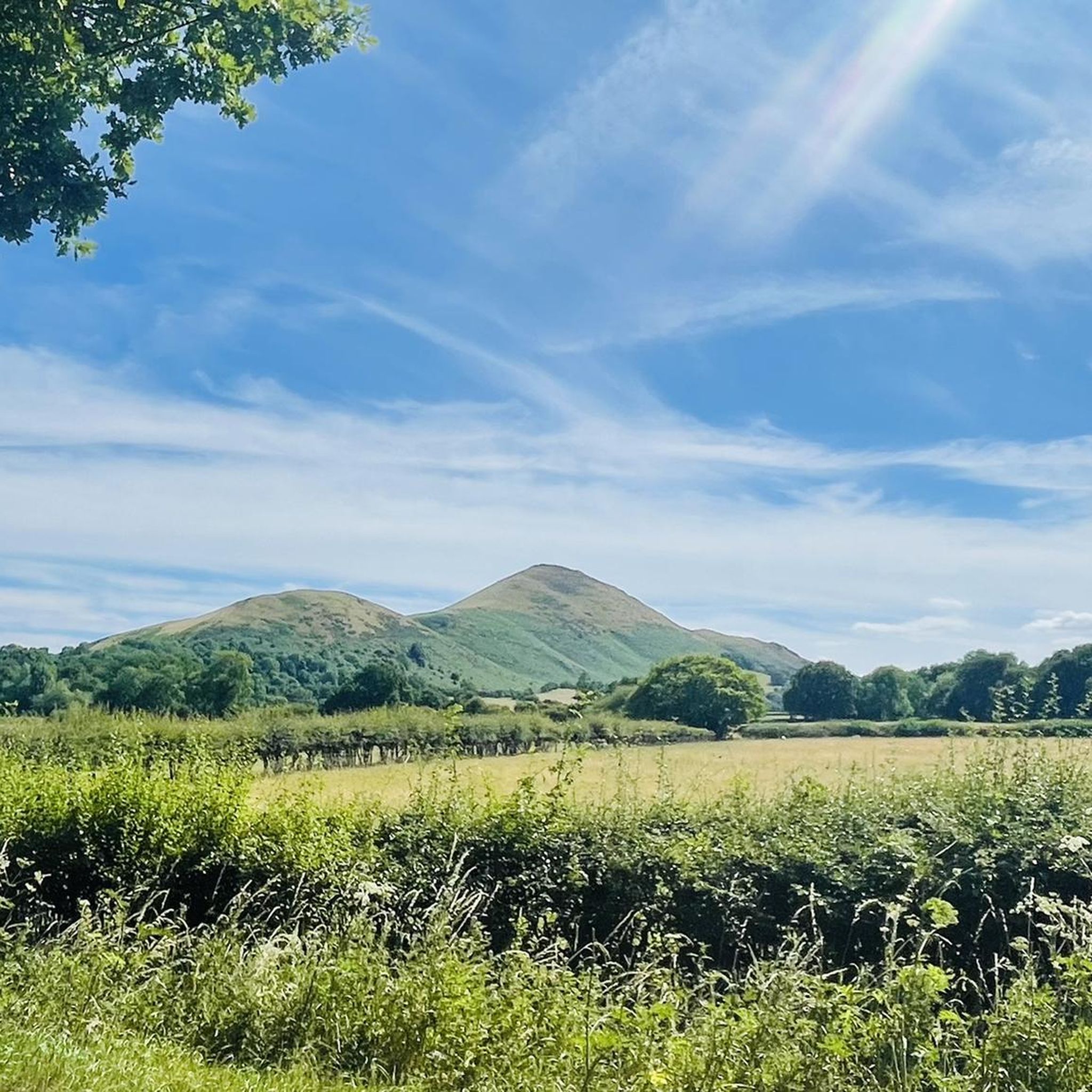
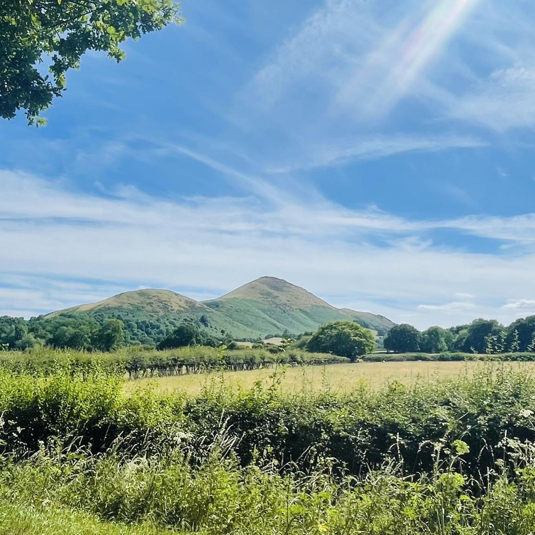
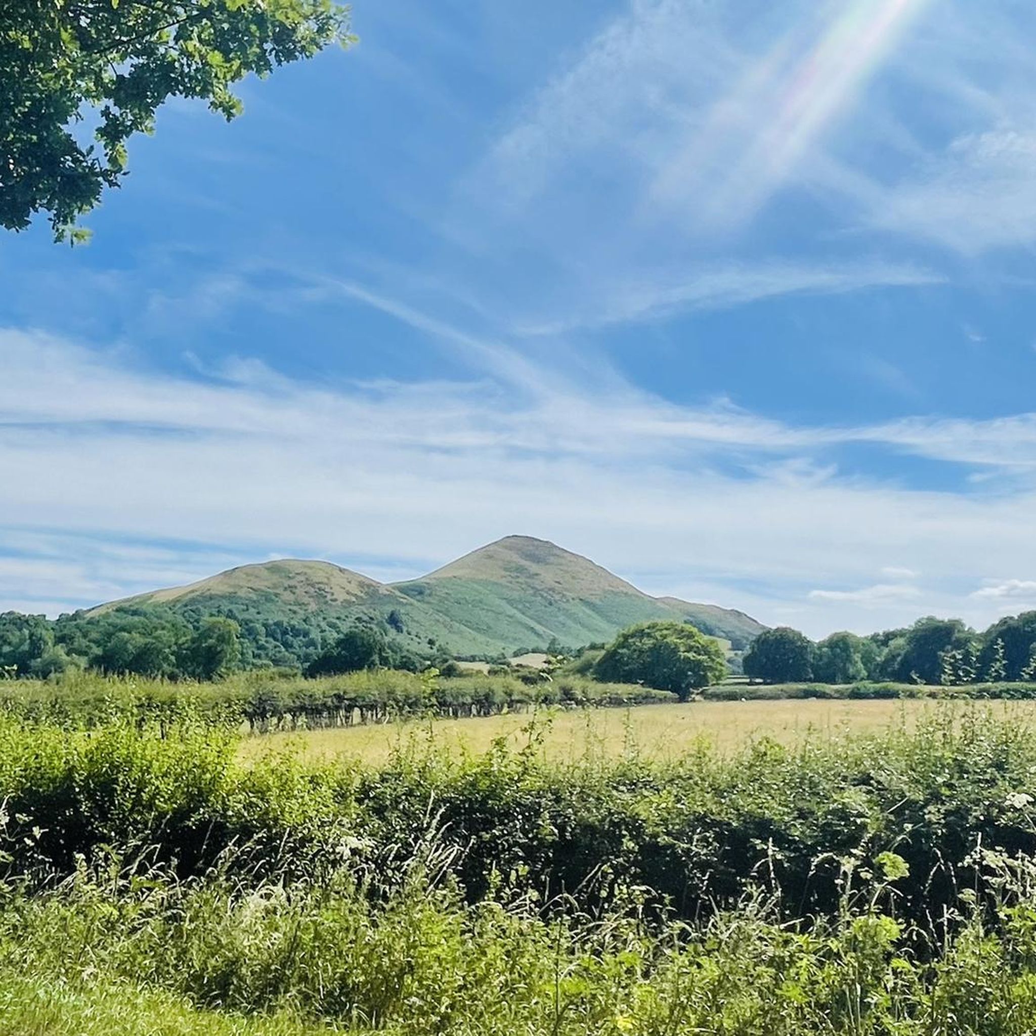
The Lawley 377m P106 (1237ft) [List Objective: English Humps] (DoBIH Hill ID: 5352) [JNSA 10713] TP6398 - The Lawley S4721 Remains Shropshire National Landscape Trig Pillar List. Shropshire National Landscape Definitive List summit.
0
0
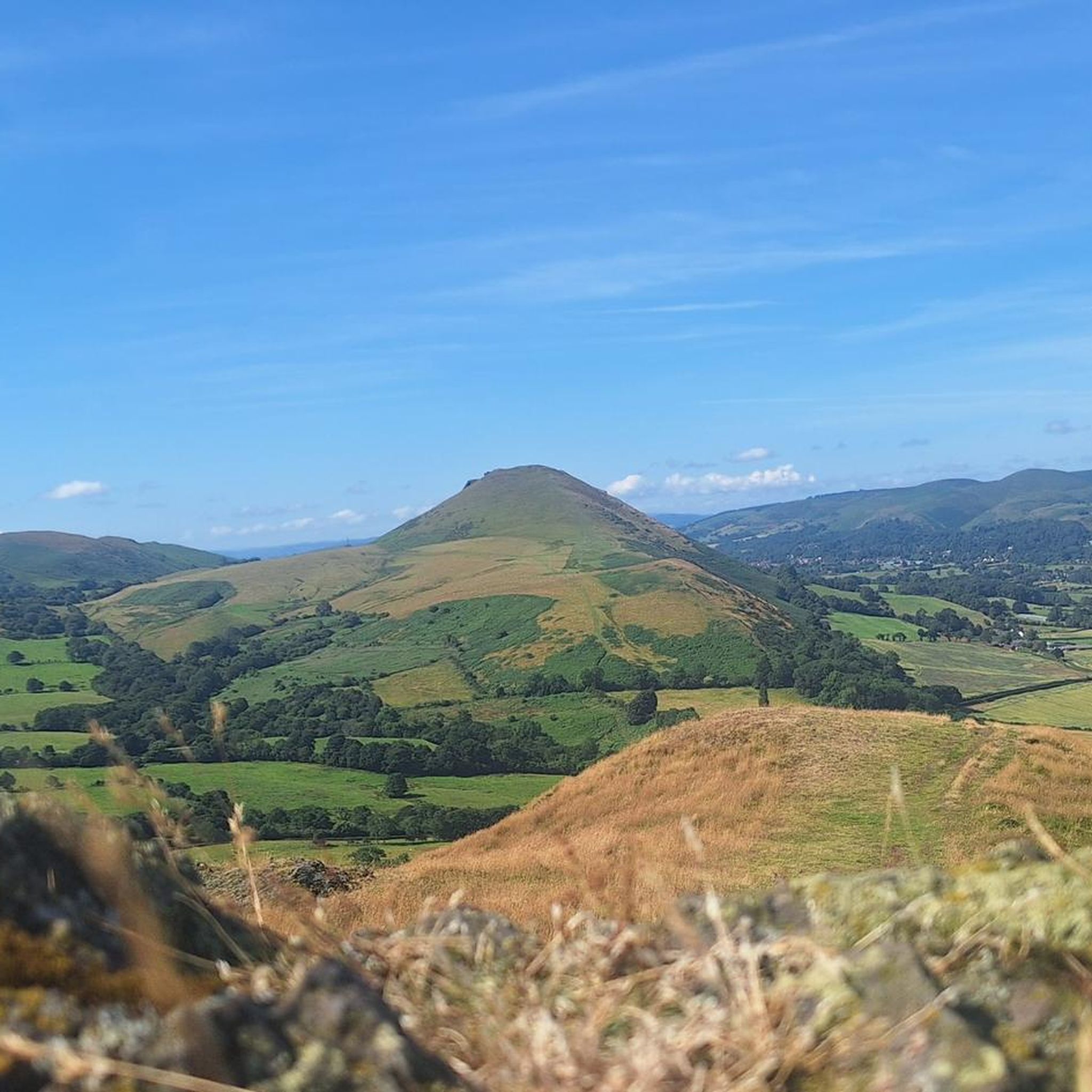
Caer Caradoc Hill 459.5m P273.3 (1507ft) [List Objective: English Humps] (DoBIH Hill ID: 2841) [JNSA 8325] Shropshire National Landscape Definitive List summit.
0
0


Very Muddy. Fantastic echo across the valleys.
1
0

Brace for a difficult rise of up to 45 degrees and give yourself plenty of breaks to enjoy scenery.
0
0
Frequently Asked Questions
How many hiking trails are there around Leebotwood?
There are over 300 hiking routes to explore around Leebotwood, ranging from gentle valley walks to challenging ascents over the region's distinctive hills. This extensive network offers options for all fitness levels.
What is the difficulty of the hikes in this area?
The trails are varied. While there are over 100 easy routes suitable for casual walkers, the majority of hikes are rated as moderate. For those seeking a challenge, there are also more than 30 difficult trails that often involve steep climbs and significant elevation gain on hills like Caer Caradoc and the Long Mynd.
Are there any good circular walks starting near Leebotwood?
Yes, many of the best routes are loops. A great example is the Lawley Ridge – View of Long Mynd loop from All Stretton. This moderate circular walk takes you over the distinctive volcanic ridge of The Lawley, offering fantastic views back towards the Long Mynd plateau.
Where are the best places to park for hikes in the Shropshire Hills?
For hikes on the Long Mynd, the National Trust car park at Carding Mill Valley is a very popular and well-equipped starting point. If you plan to explore the rugged Stiperstones ridge, there are free car parks such as the Knoll car park, which serves as an excellent base for reaching the Devil's Chair.
Can I get to the hiking trails by public transport?
Leebotwood itself has limited public transport options. However, the nearby town of Church Stretton, often called 'Little Switzerland', has a train station and better bus services. It serves as a major hub for accessing many trails on foot, particularly those leading up to the Long Mynd and Caer Caradoc.
Are the walking trails around Leebotwood suitable for families?
Definitely. For a family-friendly outing, Carding Mill Valley is an excellent choice. It offers accessible paths along the stream, a café, and toilet facilities. The relatively gentle terrain in the valley floor is perfect for shorter legs, while still being surrounded by the dramatic scenery of the Long Mynd.
Are dogs allowed on the hiking trails?
Yes, the Shropshire Hills are generally very dog-friendly. However, much of the area, especially the Long Mynd and Stiperstones, is home to grazing livestock and ground-nesting birds. It is essential to keep your dog on a lead and under close control at all times to protect wildlife and farm animals.
What kind of wildlife might I see while hiking?
The Shropshire Hills boast a rich variety of wildlife. On the heather moorlands of the Long Mynd, look for upland birds like the red grouse and skylark. Birds of prey, including red kites and peregrine falcons, are often seen soaring above the ridges. The area also supports rare insects and butterflies.
What are the most scenic viewpoints in the area?
For spectacular 360-degree views, the summit of Caer Caradoc is hard to beat, offering a panorama that includes The Lawley, the Long Mynd, and the Welsh borders. Another key viewpoint is Pole Bank, the highest point on the Long Mynd, which provides a vast perspective over the heather-clad plateau.
Are there any challenging hikes for experienced walkers?
Yes, the region offers plenty of challenges. The hike to the Stiperstones National Nature Reserve involves scrambling over rocky, quartzite tors like the Devil's Chair, providing a rugged and atmospheric experience. For a strenuous ridge walk, the Caer Caradoc – View of Long Mynd loop from All Stretton involves a steep ascent to the Iron Age hillfort and rewards with incredible views.
What do other hikers enjoy most about the trails around Leebotwood?
The area is highly regarded by the komoot community. Hikers frequently praise the dramatic contrast in landscapes, from the ancient, rolling plateau of the Long Mynd to the sharp, volcanic ridges of Caer Caradoc and The Lawley. The well-maintained paths and the stunning panoramic views are also consistently highlighted.
Most popular attractions around Leebotwood

Get inspired with the komoot mobile app


Explore more
Browse the best Hikes in other regions.
