The best running trails around Burwarton
4.2
(5)
115
runners
21
runs
Jogging routes around Burwarton traverse the picturesque Shropshire countryside, characterized by rolling hills and green fields. The region features significant natural landmarks such as Brown Clee Hill, the highest point in England south of the Pennines, offering varied terrain from open grassland to steeper inclines. Joggers can also explore the Wenlock Hills, numerous woods, and valleys, alongside tranquil spots like Boyne Water Lake. The area's extensive public footpaths and sections of The Shropshire Way provide diverse options for running.
Best…
Last updated: July 2, 2026
3.0
(1)
18
runners
10.6km
01:19
330m
340m
Hard run. Very good fitness required. Mostly paved surfaces. Suitable for all skill levels.
3.0
(1)
18
runners
11.0km
01:20
350m
350m
Hard run. Very good fitness required. Mostly paved surfaces. Suitable for all skill levels.

Sign up for free
5.0
(1)
12
runners
Moderate run. Good fitness required. Mostly paved surfaces. Suitable for all skill levels.
5.0
(1)
7
runners
11.9km
01:25
270m
280m
Moderate run. Good fitness required. Mostly paved surfaces. Suitable for all skill levels.
5.0
(1)
6
runners
8.60km
01:01
210m
210m
Moderate run. Good fitness required. Mostly paved surfaces. Suitable for all skill levels.
Get access to more routes and recommendations from other explorers.
Sign up for free
Already have an account?
Our route recommendations are based on thousands of hikes, rides, and runs completed by other people on komoot.
Start today with a free account
Your next adventure awaits.
Login or Signup
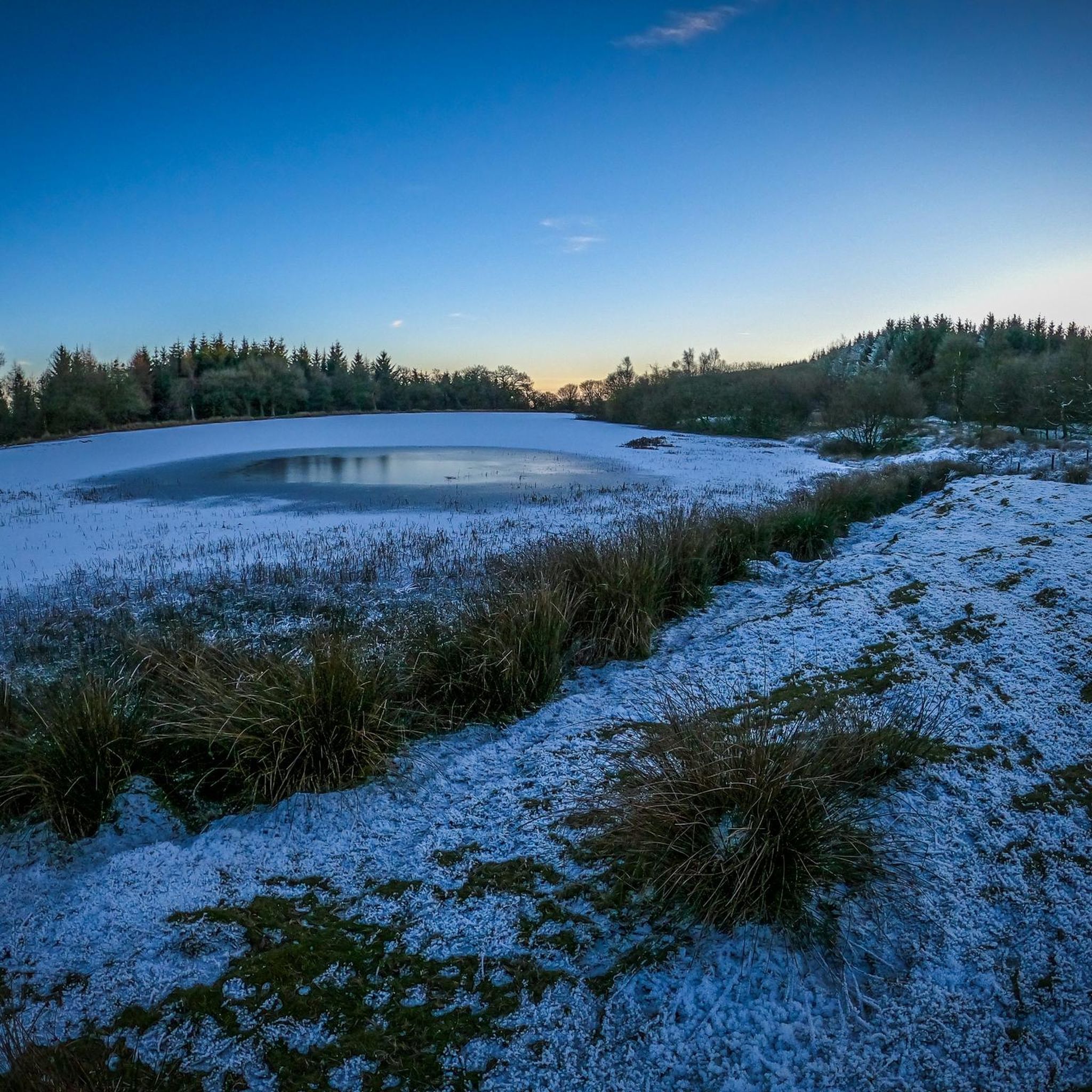
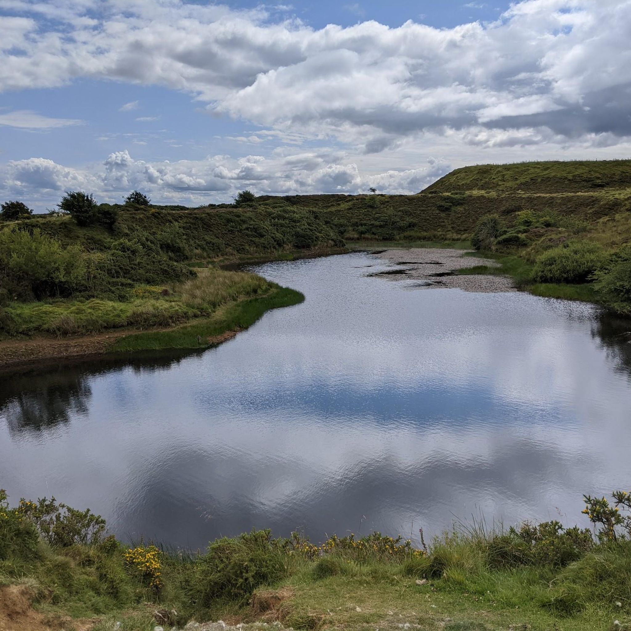
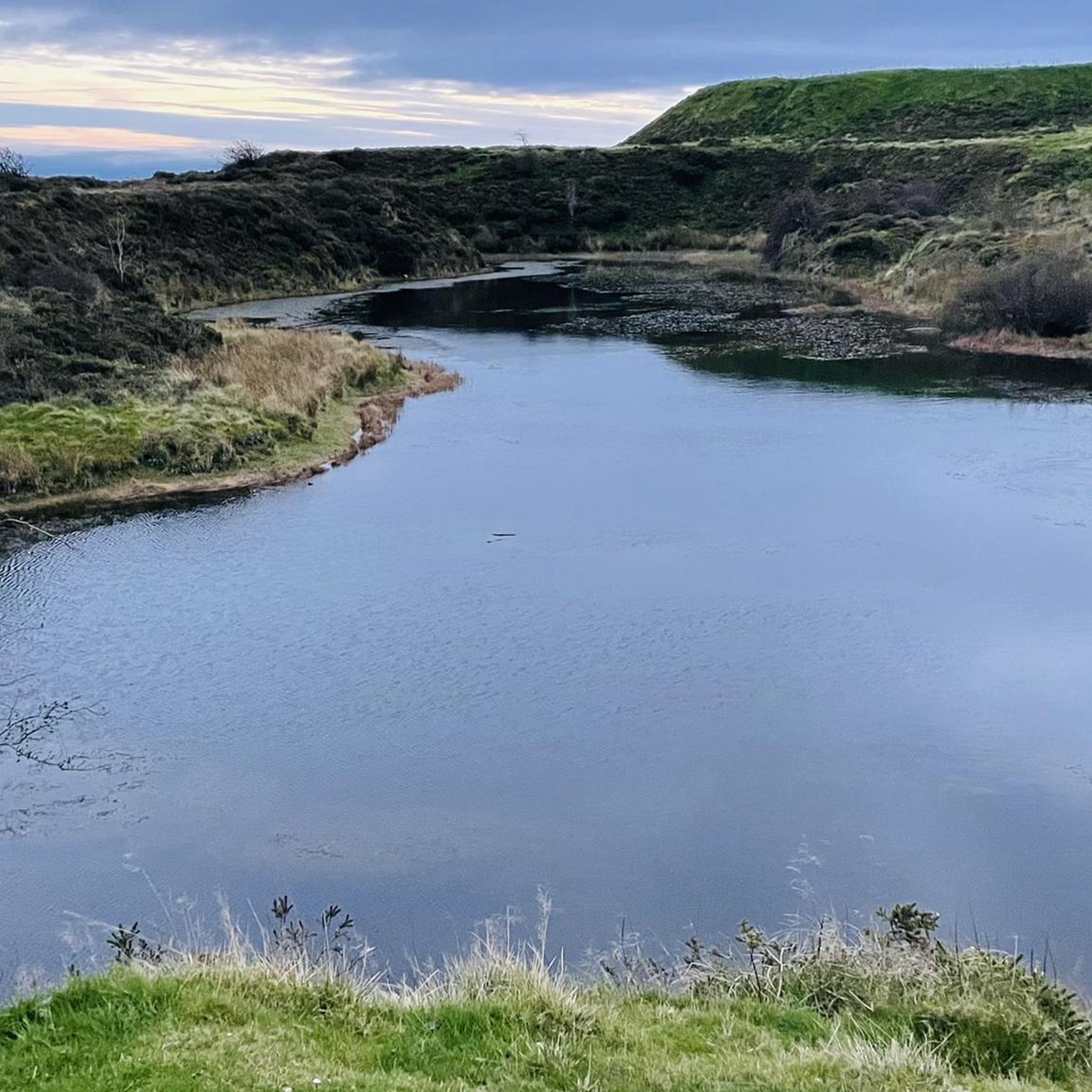
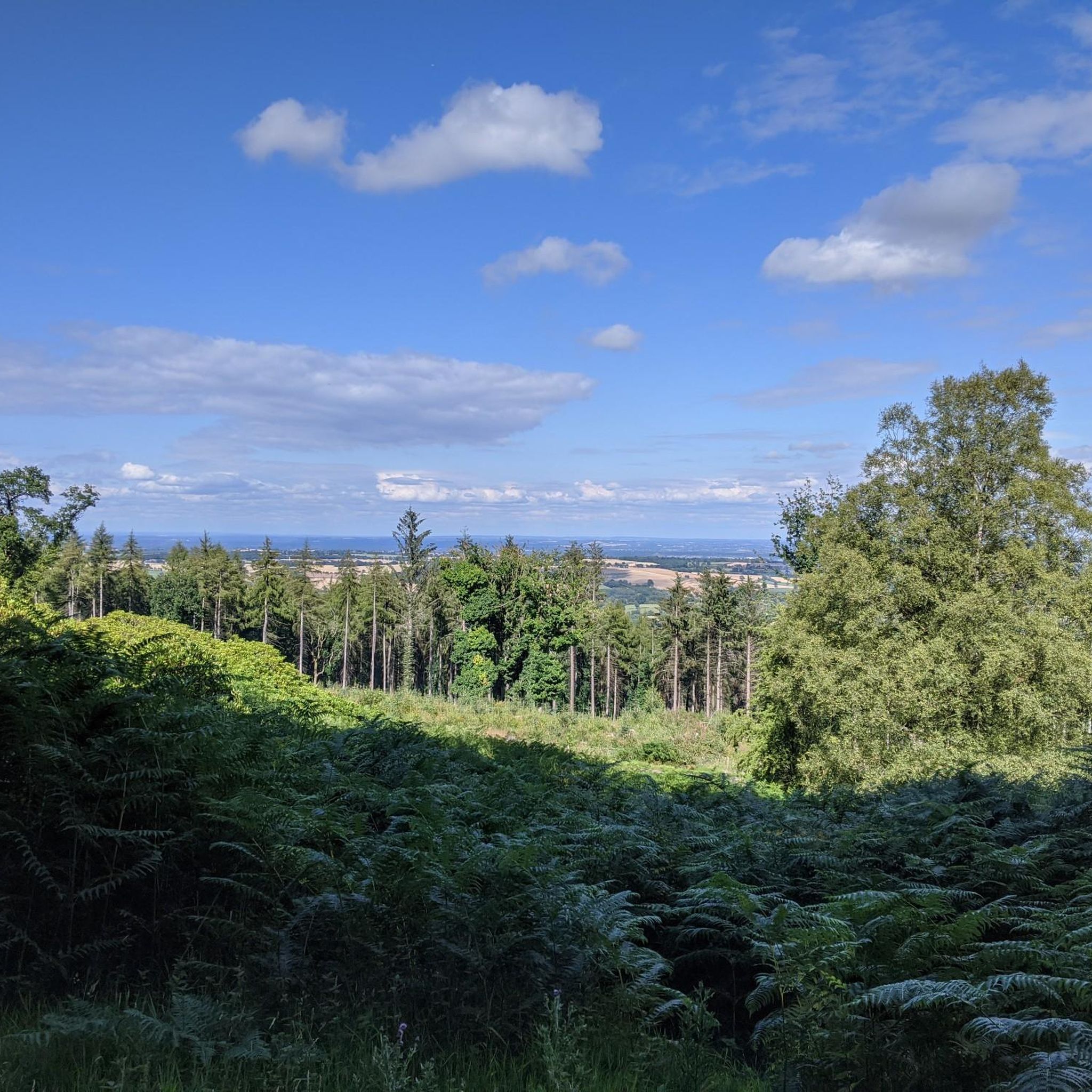
Tips from the Community


Nice route to the Clee Hills. Parking to the north as well at the excitingly named Cockshutford
0
0

Apparently, the site of the highest coalfield in England too. Isn't Wikipedia wonderful.
0
0
There is the bracket of the original Trig Point cemented into the path that leads to the Toposcope.
0
0


The ruined buildings are not actually castle ruins but old quarry buildings built around 1907. The hill was quarried from 1908 to 1937, largely for Dhustone. This hard, durable, almost black stone was used in building and for making tram line setts.
0
0

Grassy run down. Not very technical, just a little muddy nearer the top
0
0
Frequently Asked Questions
How many running routes are available around Burwarton?
Burwarton offers a selection of over 20 dedicated running routes. These routes cater to various fitness levels, with 16 classified as moderate and 5 as difficult, ensuring a suitable challenge for most runners.
What kind of terrain can I expect on jogging trails near Burwarton?
The jogging trails around Burwarton are characterized by the picturesque Shropshire countryside, featuring rolling hills and lush green fields. You'll encounter varied terrain, from open grassland on the eastern slopes of Brown Clee Hill to more rugged, steeper inclines with dingles and streams in the western parts. The area also includes woods, valleys, and sections of the long-distance Shropshire Way.
Are there any challenging running routes for experienced joggers?
Yes, Burwarton provides several challenging routes. For instance, the Clee Burf – Nordy Bank Hillfort loop from Stoke St. Milborough is a difficult 10.6 km trail with significant elevation gain. Another demanding option is the Nordy Bank Hillfort – Clee Burf loop from Clee St. Margaret, an 11.0 km path offering expansive views from the Clee Burf summit.
What natural features or landmarks can I see while running in Burwarton?
Many running routes in Burwarton pass by notable natural features and historical sites. You can explore areas around Abdon Burf Summit (the highest point of Brown Clee Hill), Clee Burf, and Nordy Bank Hillfort. Tranquil spots like Boyne Water Lake also feature on some routes, such as the Boyne Water Lake – Dhustone Quarry Ruins loop from Cleobury North.
Are there any circular running routes in the Burwarton area?
Yes, many of the running routes around Burwarton are circular, allowing you to start and finish in the same location. Examples include the Dhustone Quarry Ruins – View Downhill from Brown Clee loop from Cleobury North and the Boyne Water Lake – Dhustone Quarry Ruins loop from Brown Clee Hill.
What do other runners say about the trails in Burwarton?
The running trails in Burwarton are highly regarded by the komoot community, holding an average rating of 4.3 out of 5 stars from 6 reviews. Runners often praise the varied terrain, scenic views, and the opportunity to explore the beautiful Shropshire countryside.
Are there any running routes that are suitable for families or beginners?
While there are no routes specifically classified as 'easy' in our current selection, many of the 'moderate' routes can be enjoyed by families or beginners looking for a gentle challenge. These routes often feature less extreme elevation changes and offer a good introduction to the area's natural beauty. It's always advisable to check the route details for distance and elevation before heading out.
Can I bring my dog on the running trails in Burwarton?
Burwarton's extensive network of public footpaths, which crisscross the parish and the Boyne Estate, are generally dog-friendly. However, as many routes pass through farmland or areas with livestock, it's crucial to keep dogs under close control, preferably on a lead, and to follow the Countryside Code. Always check specific route details for any restrictions.
Are there any routes that offer views of Brown Clee Hill?
Absolutely. Brown Clee Hill is a prominent feature of the landscape, and many routes offer stunning views of or from its slopes. The Nordy Bank Hillfort – Clee Burf loop from Clee St. Margaret, for example, provides expansive views from the Clee Burf summit, one of the hill's main peaks.
What is the typical duration for a running route in Burwarton?
The duration of running routes in Burwarton varies depending on the distance and difficulty. Moderate routes like the Dhustone Quarry Ruins – View Downhill from Brown Clee loop from Cleobury North (8.5 km) can take around 1 hour. More challenging, longer routes, such as the Boyne Water Lake – Dhustone Quarry Ruins loop from Cleobury North (11.8 km), might take closer to 1 hour 25 minutes.
Are there any historical sites or points of interest along the running trails?
Yes, several running routes incorporate historical sites. You can find routes that pass by Nordy Bank Hillfort, an ancient earthwork, or explore the landscape near the Dhustone Quarry Ruins. The area also features Clee Burf, which has historical significance.
Most popular attractions around Burwarton

Get inspired with the komoot mobile app


Explore more
Browse the best Running Trails & Routes in other regions.
