The best walks and hikes around Aston Botterell
4.8
(152)
1,154
hikers
87
hikes
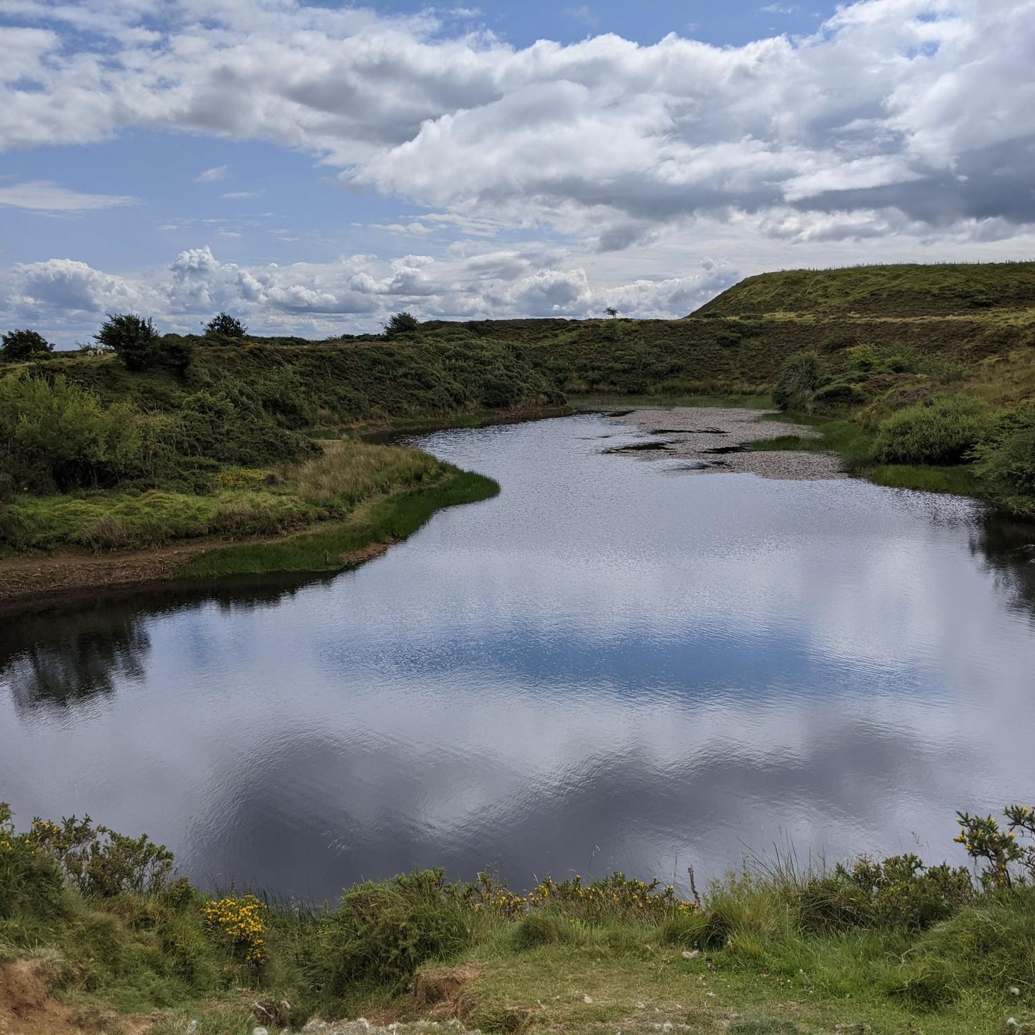
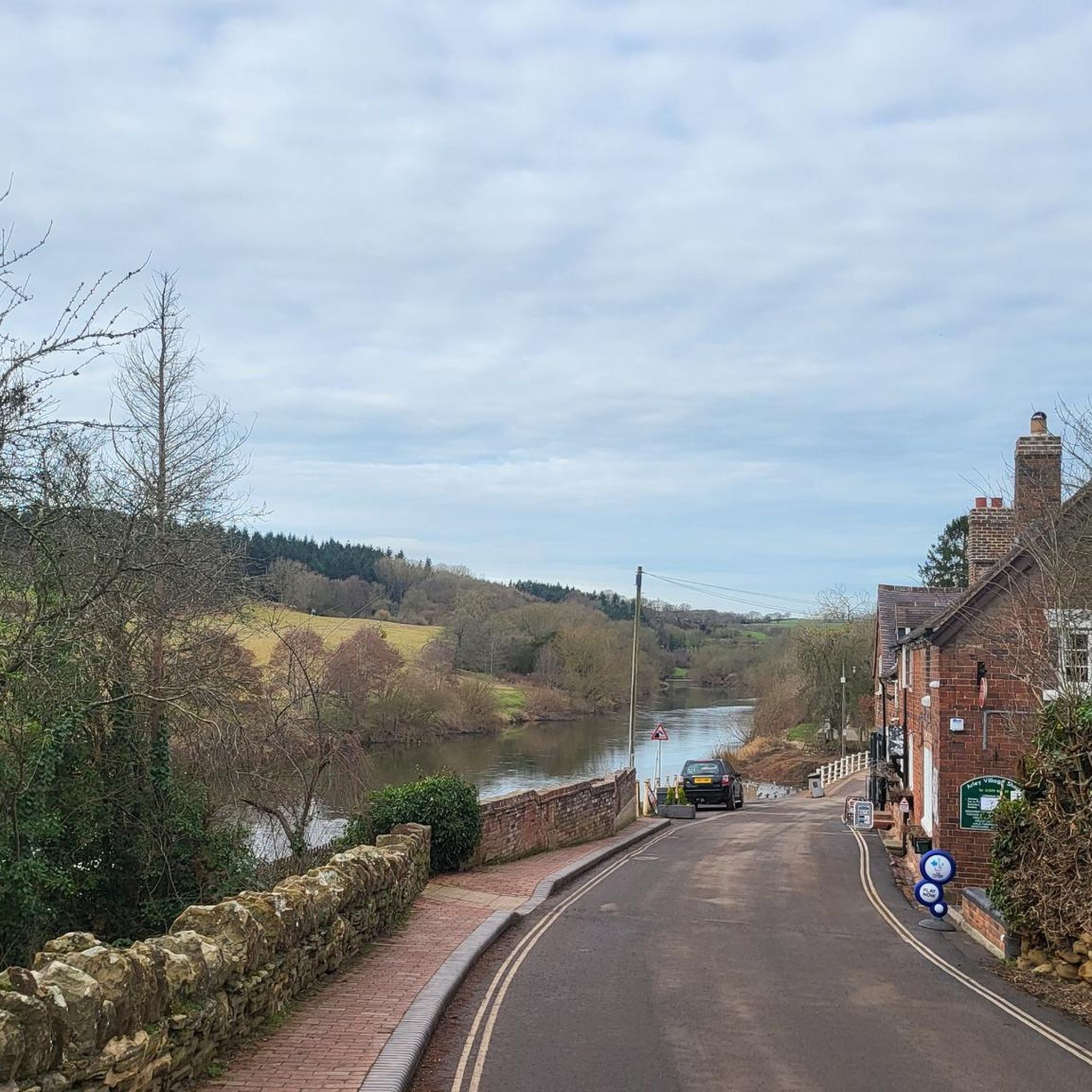
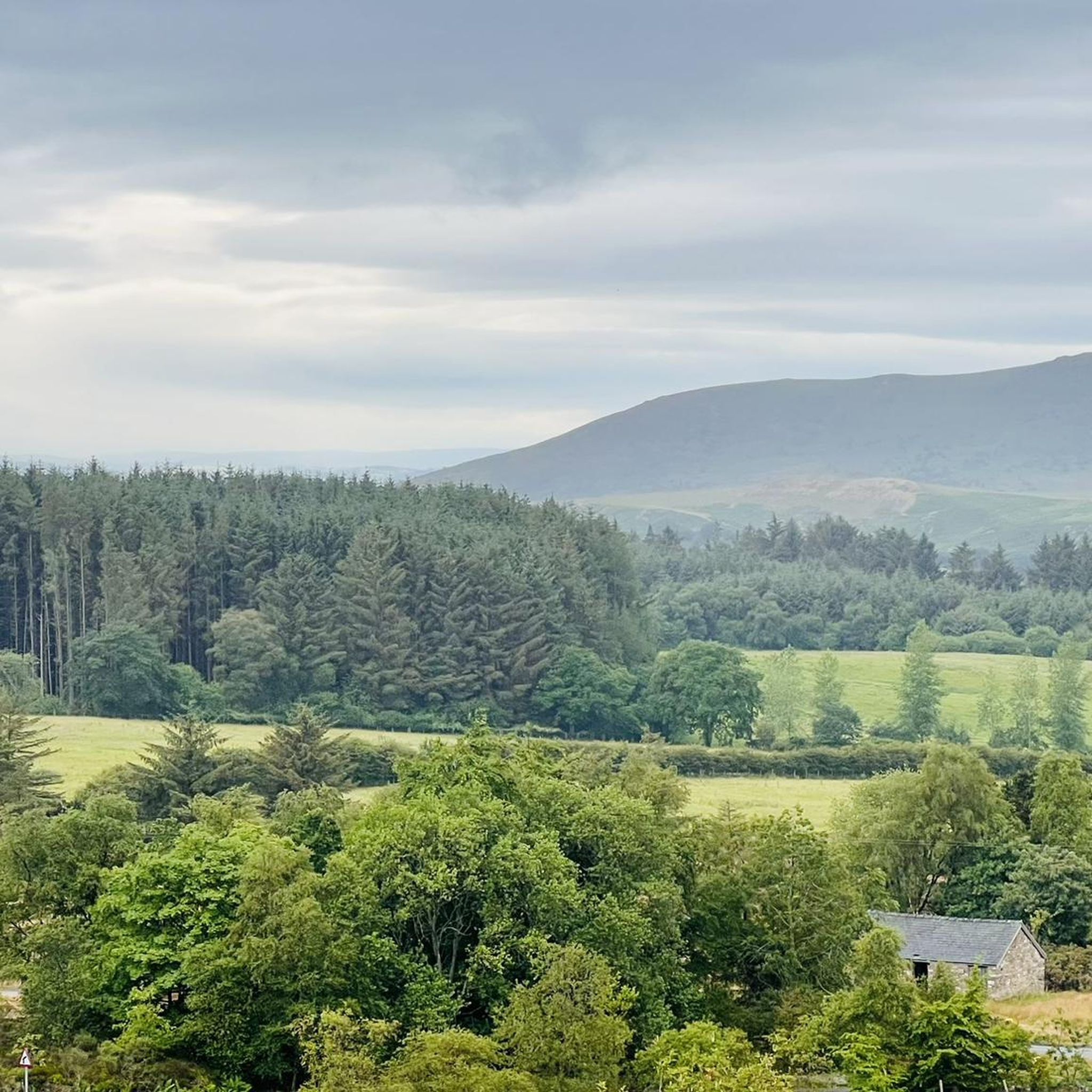
Hikes around Aston Botterell explore the varied landscapes of the Shropshire Hills. The region is characterized by rolling pastures, river valleys, and the heather-clad moorlands of prominent hills like Brown Clee Hill. The network of public footpaths provides access to both gentle countryside strolls and more demanding upland routes with significant elevation gain.
Best hiking trails around Aston Botterell
- The most popular hiking route is Burwarton & Brown Clee Hill loop — Shropshire Hills, a 5.9 mile (9.6 km) trail that takes about 2 hours 50 minutes to complete. This route features ascents toward the summit of Brown Clee Hill.
- Another top favourite among local hiking enthusiasts is Dhustone Quarry Ruins – Clee Burf summit loop from Ditton Priors, a moderate 8.9 mile (14.4 km) path. The trail includes views from Clee Burf and passes by historical quarry ruins.
- Local hiking enthusiasts also love the Abdon Burf loop — Shropshire Hills, a 3.2 mile (5.1 km) trail leading through the Shropshire Hills, often completed in about 1 hour 35 minutes.
- Hiking around Aston Botterell is defined by ascents up heather-covered hills, paths through rolling pastures, and routes exploring historical quarry sites. The trail network offers a range of circular walks starting from Aston Botterell and nearby villages, suitable for various fitness levels.
- The routes in Aston Botterell are highly rated by the komoot community with an average score of 4.8 stars from over 130 reviews. More than 1,000 hikers have used komoot to explore Aston Botterell's varied terrain.
Last updated: May 25, 2026
4.8
(13)
76
hikers
5.10km
01:36
210m
210m
Easy hike. Great for any fitness level. Easily-accessible paths. Suitable for all skill levels.
4.3
(4)
45
hikers
9.56km
02:51
300m
300m
Moderate hike. Good fitness required. Mostly accessible paths. Sure-footedness required.

Sign up for free
5.0
(1)
9
hikers
6.77km
02:02
230m
230m
Moderate hike. Good fitness required. Mostly accessible paths. Sure-footedness required.
5.0
(3)
52
hikers
14.7km
04:26
480m
480m
Moderate hike. Good fitness required. Easily-accessible paths. Suitable for all skill levels.
4.3
(6)
49
hikers
7.05km
02:05
210m
210m
Moderate hike. Good fitness required. Easily-accessible paths. Suitable for all skill levels.
Get access to more routes and recommendations from other explorers.
Sign up for free
Already have an account?
Our route recommendations are based on thousands of hikes, rides, and runs completed by other people on komoot.
Start today with a free account
Your next adventure awaits.
Login or Signup
Tips from the Community


Nice route to the Clee Hills. Parking to the north as well at the excitingly named Cockshutford
0
0

Apparently, the site of the highest coalfield in England too. Isn't Wikipedia wonderful.
0
0
There is the bracket of the original Trig Point cemented into the path that leads to the Toposcope.
0
0


boyne arms has good food and for the budget traveller a back bar for the estate workers . burwarton estate is a great hiking spot and also if your in a camper van there is overnighting for the price of a meal …
0
1

The ruined buildings are not actually castle ruins but old quarry buildings built around 1907. The hill was quarried from 1908 to 1937, largely for Dhustone. This hard, durable, almost black stone was used in building and for making tram line setts.
0
0
Frequently Asked Questions
How many hiking trails are available around Aston Botterell?
You can discover over 80 hiking routes around Aston Botterell. These range from easy strolls through rolling pastures to more challenging ascents up the region's prominent hills, with a majority of trails being of moderate difficulty.
What do other hikers enjoy about the trails in this region?
The area is highly regarded by the komoot community. Hikers often praise the stunning and varied landscapes, from the heather-clad moorlands of the Shropshire Hills to the tranquil river valleys. The well-maintained network of public footpaths is also frequently mentioned.
Are there any good circular walks starting near Aston Botterell?
Yes, the region is excellent for circular hikes. A great example is the Burwarton & Boyne Water loop. This moderate walk offers a wonderful mix of countryside scenery without being overly strenuous.
What are some family-friendly walks in the area?
For a shorter, easier outing that's suitable for the whole family, consider the Abdon Burf loop — Shropshire Hills. It's a relatively short walk that still provides a rewarding sense of being in the hills.
Can I take my dog on the trails around Aston Botterell?
Most public footpaths in the Shropshire Hills are dog-friendly, but it's essential to keep your dog on a lead, especially near livestock. The expansive, open spaces of the Long Mynd are particularly popular with dog walkers, but always be mindful of ground-nesting birds during spring and summer.
What is the typical terrain like on these hikes?
The terrain is quite varied. Expect everything from gentle, rolling pastures and quiet country lanes to rugged, heather-clad moorlands on the higher ground. Many paths are well-defined public footpaths, but some upland sections can be uneven and rocky.
Are there any trails that feature local history?
Yes, the area is rich in history. For a hike that explores the region's industrial past, the Dhustone Quarry Ruins – View Downhill from Brown Clee loop takes you past the remains of former quarries on the hillsides, offering a glimpse into the area's heritage.
Where can I find the best views?
For some of the most spectacular views, head to the trails around the Long Mynd. This expanse of heather-covered hills, managed by the National Trust, offers breathtaking panoramic vistas across Shropshire and into Wales on a clear day. The area is highly regarded by locals for its scenic beauty.
What are the parking options for hiking the Clee Hills?
For hikes on Brown Clee Hill, there are several small, informal parking areas and lay-bys near the main trailheads, such as those near Burwarton or Ditton Priors. These can fill up on sunny weekends, so arriving early is recommended. Always park considerately and do not block gates or access roads.
How difficult are the trails in this region?
The difficulty ranges from easy to challenging. There are about 30 easy walks perfect for a leisurely afternoon. The majority, around 55 trails, are rated as moderate, typically involving some significant ascent and uneven ground. A few difficult routes exist for experienced hikers seeking a strenuous challenge.
Are there any long-distance paths that pass through the area?
Yes, the region is crossed by several notable long-distance trails. The Shropshire Way, a circular route showcasing the county's best landscapes, passes nearby. You can also access sections of the historic Offa's Dyke Path and the Heart of Wales Line Trail for more extensive trekking opportunities.
Most popular attractions around Aston Botterell

Get inspired with the komoot mobile app


Explore more
Browse the best Hikes in other regions.
