The best walks and hikes around Shoreswood
4.5
(154)
1,623
hikers
97
hikes
Hikes near Shoreswood explore the rolling countryside of the English-Scottish border region. The area is characterized by gentle hills, agricultural landscapes, and paths that often follow the course of the River Tweed. Many of the hiking trails in the Shoreswood area connect historic sites, stone circles, and small villages, offering a mix of nature and local heritage.
Best hiking trails around Shoreswood
- The most popular hiking route is Norham Cross – Jubilee Field, Norham loop from Norham, a 4.2…
Last updated: August 18, 2026
4.7
(3)
31
hikers
6.72km
01:45
40m
40m
Easy hike. Great for any fitness level. Easily-accessible paths. Suitable for all skill levels.
5.0
(3)
53
hikers
2.25km
00:35
10m
10m
Easy hike. Great for any fitness level. Easily-accessible paths. Suitable for all skill levels.

Sign up for free
5.0
(1)
22
hikers
19.9km
05:08
110m
110m
Hard hike. Very good fitness required. Easily-accessible paths. Suitable for all skill levels.
4.3
(3)
22
hikers
4.00km
01:04
40m
40m
Easy hike. Great for any fitness level. Easily-accessible paths. Suitable for all skill levels.
5.0
(1)
18
hikers
Easy hike. Great for any fitness level. Easily-accessible paths. Suitable for all skill levels.
Get access to more routes and recommendations from other explorers.
Sign up for free
Already have an account?
Our route recommendations are based on thousands of hikes, rides, and runs completed by other people on komoot.
Start today with a free account
Your next adventure awaits.
Login or Signup
Tips from the Community

Northumberland’s Stonehenge although at least two stones are missing, the site is on private land but the farmer has allowed a permissive pathway. There is a small lay-by with space for about 5 cars approx 0.25mikes from the circle
0
0

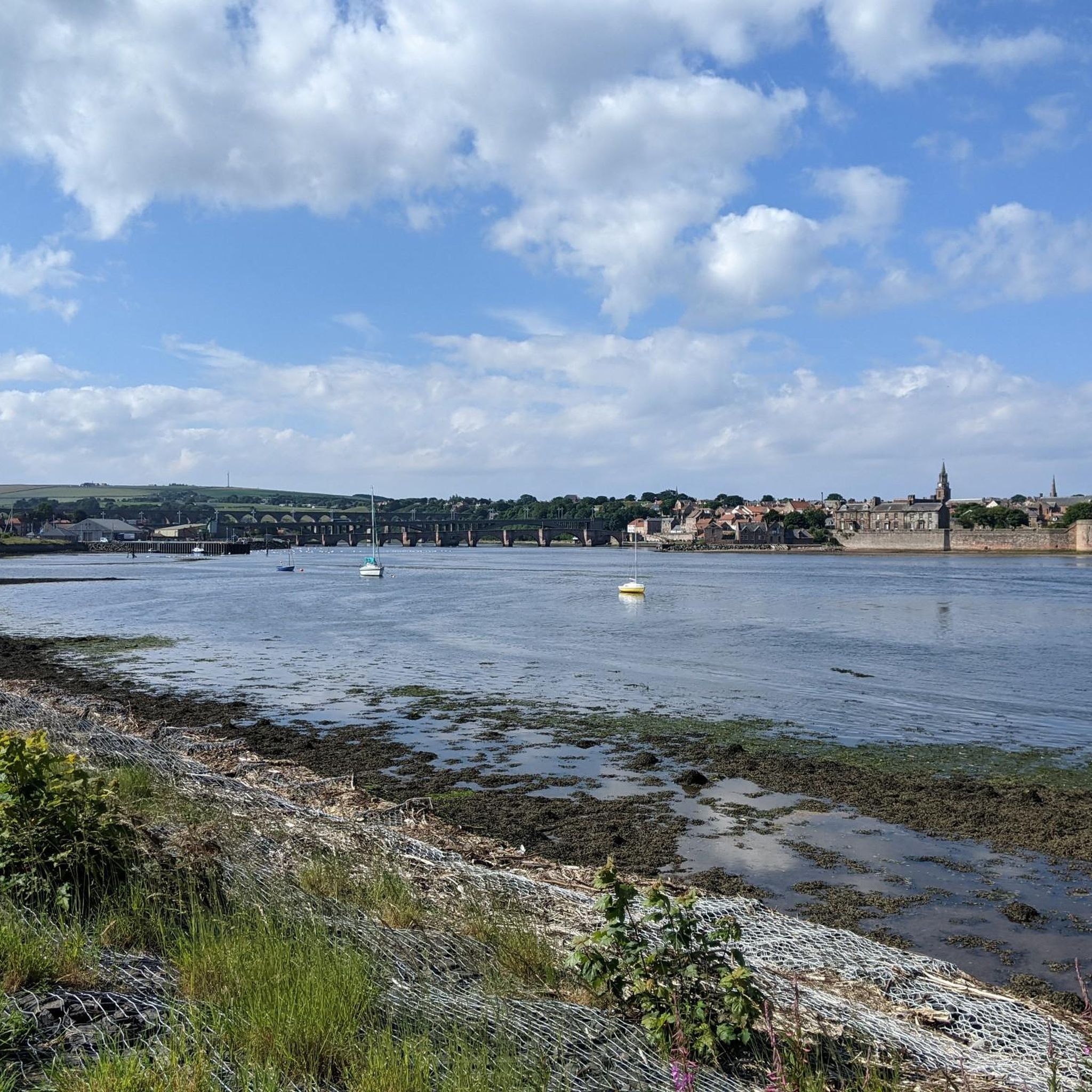
Prior to the stone structure, wooden bridges served the crossing but were destroyed by floods and conflict. James Burrell, Surveyor of Works, recommended a stone bridge after ice destroyed the wooden one in 1608. Despite funding issues and changing designs, construction of the stone bridge began in 1611. It faced challenges, including a flood in 1621, but was completed and opened by 1624. The bridge's importance for main road traffic later declined with the construction of newer crossings. It is now a Grade I listed building and scheduled monument.
0
0

As seen on ‘Whatever Happened to the Likely Lads' and latterly 'Vera'
0
0
Norham Cross is a historic market cross located near Norham Castle and St Cuthbert's Church. It dates back to the 12th or 13th century, making it an important part of the area's medieval heritage. The cross, constructed from sandstone, features a clustered shaft with a moulded base and plain plinth. While the upper part of the shaft and the weather vane were added in the 19th century, the core structure remains largely intact
0
0
Norham War Memorial, a Grade II-listed structure, commemorates local residents who died in the First and Second World Wars. Unveiled in 1919, this early medieval-style cross stands on the village green. It was designed by John S Rhind of Edinburgh and funded by public subscription. Originally honouring 23 individuals from the First World War, the memorial was later expanded to include 12 names from the Second World War. Its prominent location and detailed design make it a significant local landmark.
0
0
Norham Church, also known as St Cuthbert's Church, is a historic landmark in Norham, Northumberland, with roots tracing back over a millennium. Originally a wooden structure built in 840 AD, it was later rebuilt in stone between 1165 and 1170. Dedicated to St. Cuthbert, whose remains are said to have rested in Norham during the 9th century, the church has been witness to numerous historical events, including the homage of John Balliol to King Edward I in 1292 and the occupation by Robert the Bruce in 1320. Despite periods of neglect, such as the century-long roofless state from 1513 to 1619, the church has endured. Today, visitors can admire its Norman carvings, stained glass windows, and various artifacts, and find solace in its peaceful atmosphere. Located on Church Lane, Norham, the church remains open throughout the day for those seeking prayer, quiet reflection, or simply a glimpse into the rich history of the region.
0
0

This is a great location to view the large railway bridge from. It is an impressive sight to see from this anlge
1
0
Frequently Asked Questions
What is the terrain like on the hikes around Shoreswood?
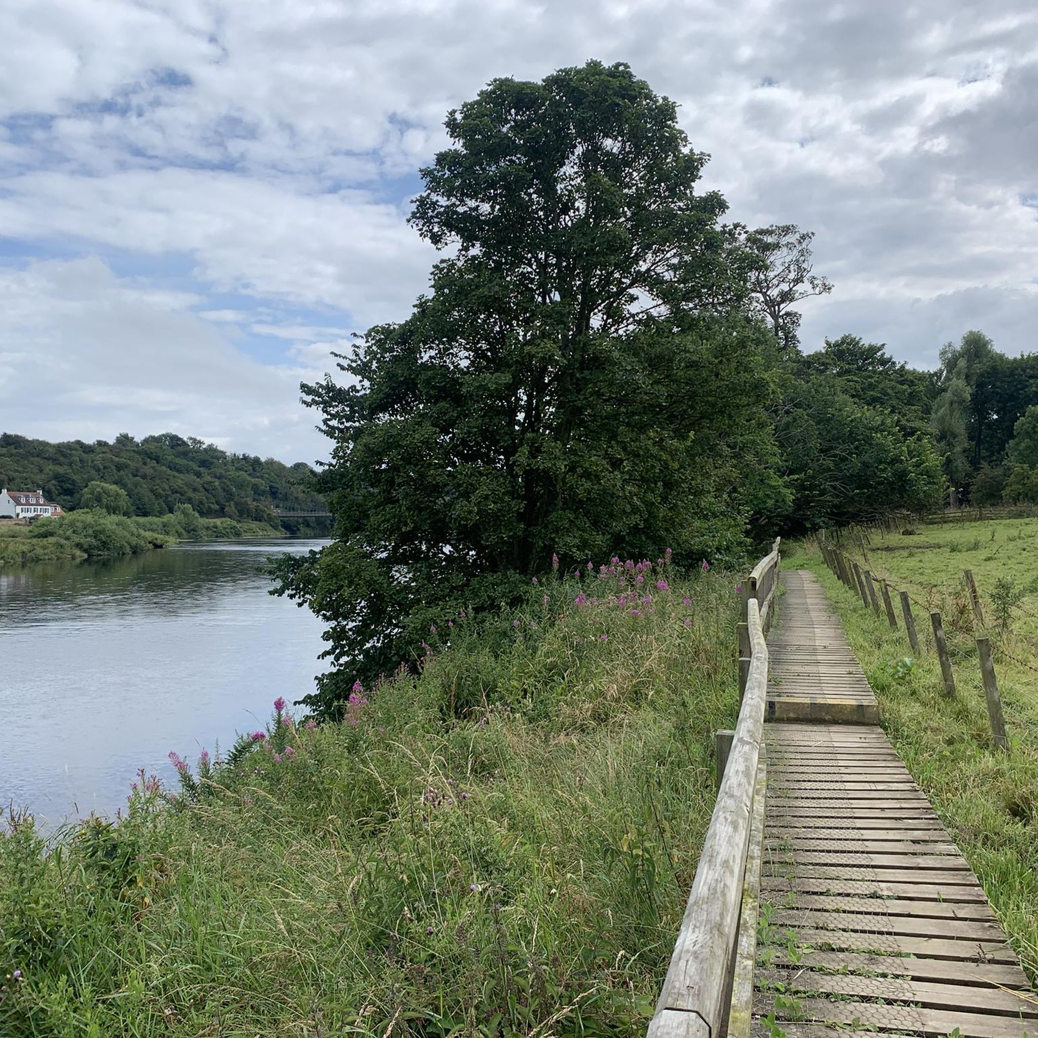
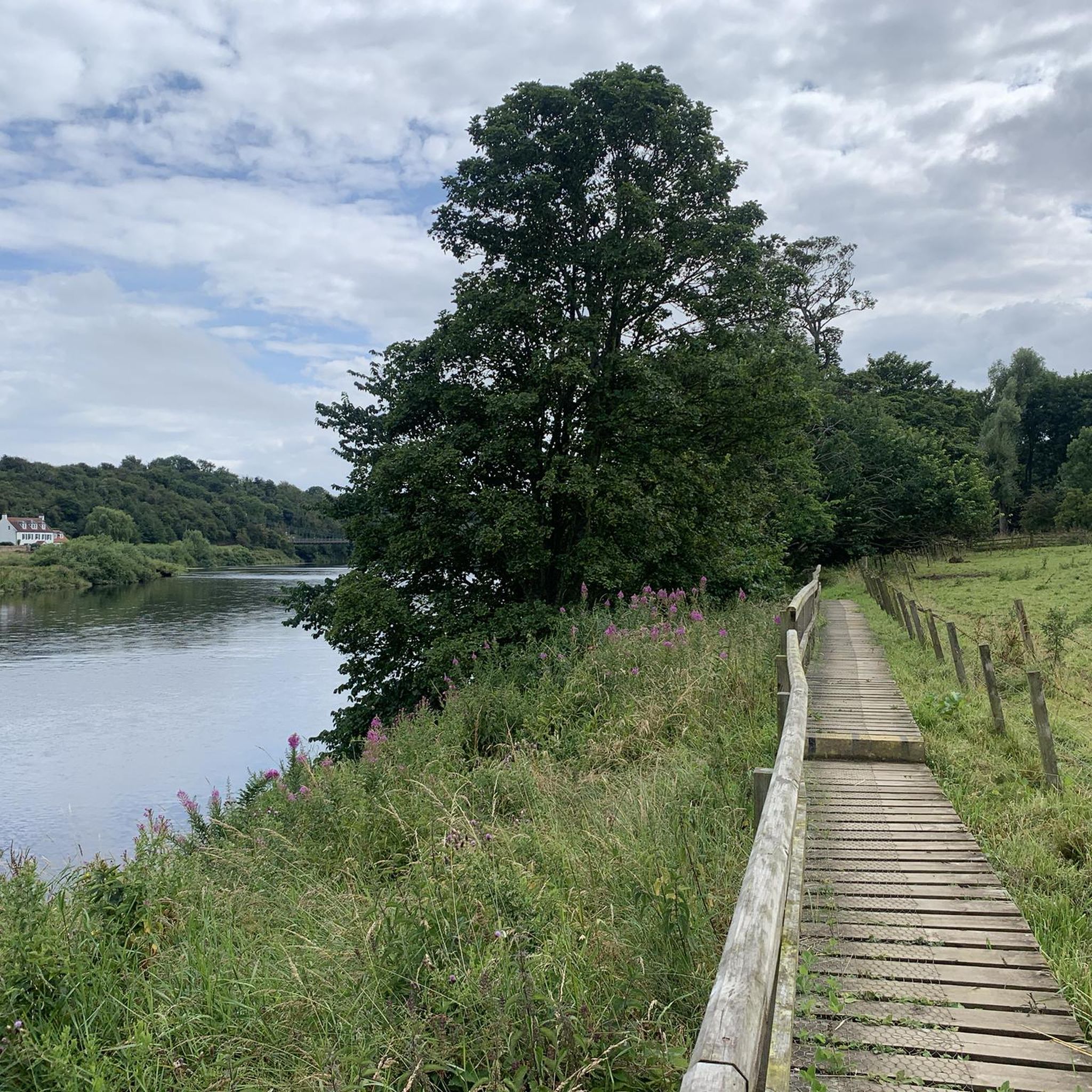
The hiking terrain around Shoreswood is generally characterized by gentle, rolling hills and agricultural landscapes. Many paths follow the course of the River Tweed, offering relatively flat riverside walks. You can expect a mix of open farmland, well-trodden footpaths, and routes connecting small villages and historic sites.
Are there many easy, family-friendly hikes in the area?
Yes, the region is well-suited for families and casual walkers, with over half of the routes rated as easy. A great option is the Duddo Stones Stone Circle loop from Duddo. It's a short walk through open fields to a fascinating historical site, making it engaging for all ages.
Can I bring my dog on the trails near Shoreswood?
Most trails in the Shoreswood area are suitable for dogs, but it's important to be mindful of the agricultural setting. You will likely cross fields with livestock, so keeping your dog on a lead is essential. The paths through open countryside and along the river offer great opportunities for a walk with your canine companion.
Are there any challenging hikes available near Shoreswood?
While most trails are gentle, there are options for those seeking a challenge. The Berwick Bridge (Old Bridge) – Royal Border Bridge loop from Horncliffe is a demanding long-distance hike of nearly 20 km. It requires good stamina but rewards hikers with impressive views of the area's famous bridges and the River Tweed.
What do other hikers think of the trails around Shoreswood?
The routes around Shoreswood are highly regarded by the komoot community, with an average rating of 4.4 out of 5 stars. Hikers often praise the mix of natural scenery and local heritage, particularly the peaceful riverside paths and the walks connecting historical landmarks like stone circles and ancient crosses.
Are there any good circular walks in the region?
Yes, circular loops are very common in the Shoreswood area. They provide a convenient way to explore without needing to retrace your steps. For a classic example, consider the Norham Cross – Jubilee Field, Norham loop from Norham, which offers a pleasant circuit around the historic village.
What should I wear for hiking in Shoreswood?
Sturdy, comfortable walking shoes or boots are recommended as trails can be uneven and muddy, especially after rain. The weather can change quickly, so dressing in layers is a good idea. Always bring a waterproof jacket, even if the forecast looks clear.
Are there any routes that feature the River Tweed?
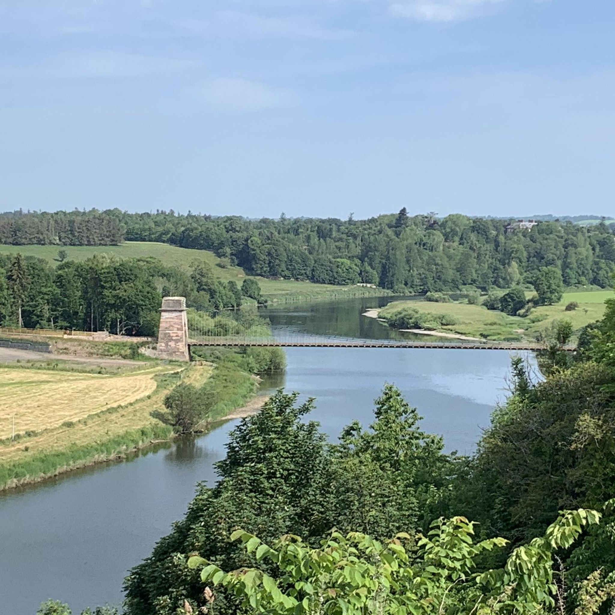
The River Tweed is a central feature of many hikes in the area. A great example that showcases the river and its historic crossings is the Union Chain Bridge loop from Horncliffe. This walk provides excellent views of the river and the famous bridge.
How many hiking routes are there to choose from around Shoreswood?
There are around 100 hiking routes to explore in the Shoreswood area. The collection includes a wide variety of options, from short, easy strolls under an hour to longer, more strenuous day hikes.
Are there any places to get refreshments along the trails?
Some routes pass through or near villages where you can find pubs or cafes. For a unique stop, the Double-Decker Bus Café – Union Chain Bridge loop from Horncliffe incorporates a visit to a distinctive local café. However, for most hikes in the open countryside, it's best to bring your own water and snacks.
Most popular attractions around Shoreswood

Get inspired with the komoot mobile app


Explore more
Browse the best Hikes in other regions.
