The best MTB trails around Ingram
4.4
(50)
283
riders
18
rides
Mountain biking around Ingram offers routes through the rolling hills and valleys of Northumberland. The region is characterized by its open moorland, river valleys like the Breamish, and a network of trails suitable for various skill levels. Riders can expect varied terrain, from challenging climbs to scenic descents, set within a rural landscape.
Best mountain bike trails around Ingram
- The most popular mountain bike trail is Alwinton & Windy Gyle loop from Ingram, a 38.9 miles (62.7 km) difficult trail that takes 5 hours 59 minutes to complete, featuring challenging climbs and exposed moorland sections.
- Another top favourite among local mountain bikers is View of River Breamish Valley – Ingram Hills loop from Ingram, a moderate 15.6 miles (25.1 km) path offering scenic views across the River Breamish Valley and the Ingram Hills.
- Local mountain bikers also love the Ingram Hills – Rose and Thistle Inn, Alwinton loop from Ingram, a 31.2 miles (50.2 km) trail leading through the Ingram Hills and rural landscapes, often completed in about 4 hours 36 minutes.
- Mountain biking around Ingram is defined by rolling hills, river valleys, and open moorland. The network offers options for different ability levels, from moderate loops to difficult, longer routes.
- The routes in Ingram are highly rated by the komoot community with an average score of 4.3 stars from over 40 reviews. More than 300 mountain bikers have used komoot to explore Ingram's varied terrain.
Last updated: November 7, 2026
4.0
(4)
11
riders
43.7km
04:11
1,060m
1,060m
This difficult mountain biking route takes you to The Cheviot Summit, the highest point in Northumberland National Park. You will cover 27.1 miles (43.7 km) with a substantial 3475 feet (1059 metres) of elevation gain, typically taking around 4 hours and 10 minutes. The trail demands very good fitness and advanced riding skills, with some sections so steep you may need to push your bike. Expect a varied mix of singletrack, natural paths, and unpaved tracks, along with some road and asphalt segments. You will experience diverse scenery, from the open moorland and forest trails to the picturesque Harthope Burn and Usway Burn valleys.
When planning your visit, be aware that the remote setting means there are few easy escape routes. The Cheviot's summit plateau, while now featuring a millstone slabbed pathway, is still prone to wet conditions underfoot, so appropriate footwear is essential. The weather in this region can be unpredictable, often experiencing "four seasons in a day," requiring thorough preparation for changing conditions. Always check the forecast before you head out.
What makes this route particularly notable is reaching The Cheviot Summit, a significant landmark just two kilometers from the Scottish border. From its 2,674-foot (815m) high peak, clear days offer extensive panoramic views that can stretch as far as the Lake District and even Edinburgh. The trail also passes through the Breamish Valley, dotted with prehistoric hill forts, adding a historical dimension to the wild upland character of the area. This classic ride offers a true wilderness mountain biking experience.
62.7km
05:59
1,410m
1,410m
Embark on a challenging mountain biking adventure through the remote Cheviot Hills with the Alwinton & Windy Gyle loop from Ingram. This difficult route spans 38.9 miles (62.7 km), pushing you through long moorland climbs and exhilarating descents. You will gain a significant 4640 feet (1414 metres) in elevation, requiring nearly 6 hours of riding. The highlight is reaching the summit of Windy Gyle, where you can experience expansive vistas across the England-Scotland border.
Before you set out, be aware that this is a remote area, so amenities are scarce, especially at the Ingram starting point. Plan to carry all your supplies, including plenty of water and food for the nearly 6-hour duration. The weather in the Cheviots can change quickly; prepare for all conditions, even on a summer day. Some sections of the trail can be soft or rough under tire, so be ready to dismount and push your bike if needed.
This route offers a true sense of solitude within Northumberland National Park, making it a notable experience for advanced mountain bikers. The Alwinton & Windy Gyle loop is renowned for its immersive journey into an exposed landscape, far from crowds. It provides a unique opportunity to connect with the rugged beauty of the border region, offering a distinct challenge compared to other trails in the area.

4.4
(8)
27
riders
25.1km
02:27
650m
650m
Moderate mountain bike ride. Good fitness required. Advanced riding skills necessary.
4.3
(3)
10
riders
49.7km
04:34
1,030m
1,030m
Hard mountain bike ride. Very good fitness required. Advanced riding skills necessary.
5.0
(1)
13
riders
30.3km
02:34
550m
550m
Moderate mountain bike ride. Good fitness required. Advanced riding skills necessary.
Get access to more routes and recommendations from other explorers.
Already have an account?
Our route recommendations are based on thousands of hikes, rides, and runs completed by other people on komoot.
Start today with a free account
Your next adventure awaits.
Popular around Ingram
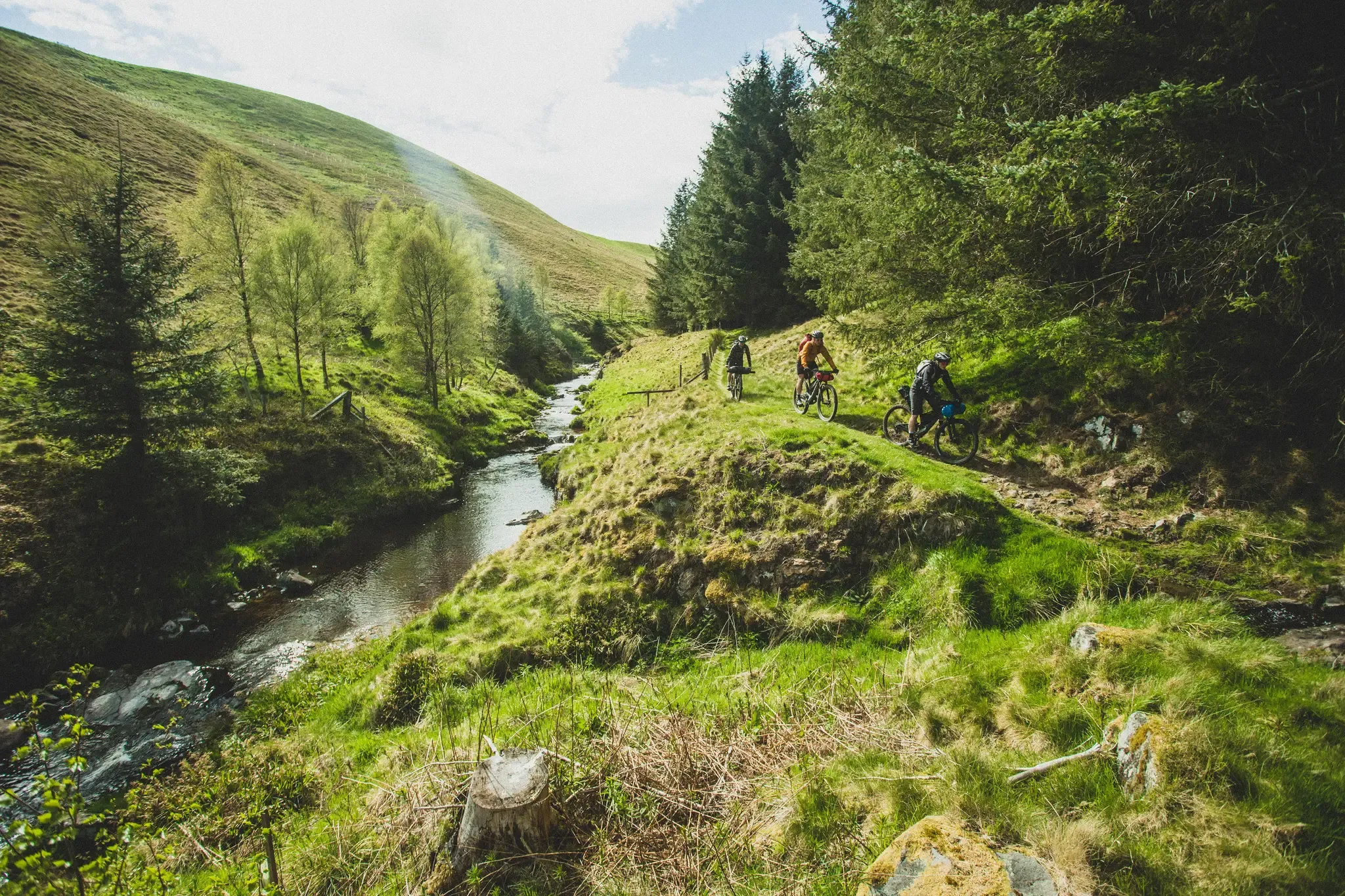
Slymefoot Slide — bikepacking the Breamish and Coquet rivers
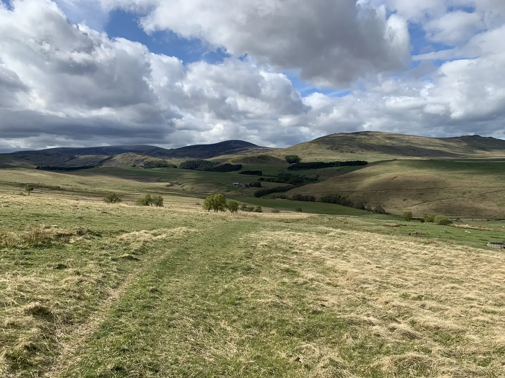
Mountain biking in the remote borderlands of Northumberland
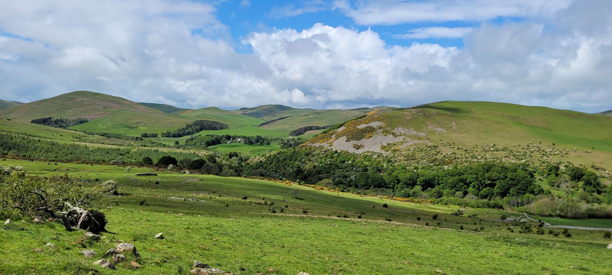
Hike into England's last wilderness — Northumberland

Hiking around Ingram

Road Cycling Routes around Ingram

Cycling around Ingram

Running Trails around Ingram

Gravel biking around Ingram
Other adventures around Ingram


Tips from the Community

Fabulous route on a sunny day. Gravel is of varying size and as SS mentions, its punchy. Very punchy in places, you will need low gears and capable tyres
0
0


Highest mountain in Northumberland national park, a decent path runs through to the summit as its a complete bog fest and there's not really any views as its a large plateau, but the views on the way back down are beautiful.
1
0

Heading west you start to see the scale of the hills climbs ahead. There are some good viewing points in this area, where you can see in many directions. The scenery is very nice on a good weathers day
0
0
July 2024: Unrideable in ascent (so big mistake to flip my route(!)). The rise out of Alnham was overgrown, the route barely visible. Lots of nettles & thistles. Ended up being nearly 800m of pushing, interspersed with short bursts of riding. There don't appear to be any alternative routes to bypass this section. Eventually gives way to gravel roads when ridden in ascent.
0
0
You do not see many people in this remote location. There was a syndicate shoot on down the valley. The was only one other person, other than tree felling workers that I seen on this trail. The start and end points did have some people around though
0
0
Stop and admire the views. Newly planted tree areas, contrasting to unplanted hills adjacent.
0
0
This area has mainly been felled and new trees planted. Vast swathes of storm damage with trees blown over exist
0
0
Frequently Asked Questions
How many mountain bike trails are available around Ingram?
There are over 20 mountain bike trails around Ingram, offering a variety of options for different skill levels and preferences.
Are there easy mountain bike trails for beginners or families in Ingram?
Yes, Ingram offers several easier mountain bike trails suitable for beginners and families. There are 4 easy routes and 13 moderate routes, providing a good range of less challenging options. These trails typically navigate the rolling hills and river valleys, offering a gentler introduction to mountain biking in the area.
What kind of terrain can I expect on mountain bike trails in Ingram?
The terrain around Ingram is characterized by rolling hills, river valleys like the Breamish, and open moorland. Riders can expect varied surfaces, from challenging climbs on exposed moorland to scenic descents through rural landscapes. The region is part of Northumberland, known for its diverse natural beauty.
Are there any circular mountain bike routes in Ingram?
Yes, many of the mountain bike trails around Ingram are designed as loops. For example, the moderate View of River Breamish Valley – Ingram Hills loop from Ingram offers scenic views and is a popular circular option. Another challenging loop is the Alwinton & Windy Gyle loop from Ingram, which covers a significant distance through varied terrain.
What are some of the longer mountain bike trails in the Ingram area?
For those seeking longer rides, Ingram offers several substantial routes. The Alwinton & Windy Gyle loop from Ingram is a difficult trail spanning nearly 63 km, typically taking almost 6 hours to complete. Another challenging option is the Ingram Hills – Rose and Thistle Inn, Alwinton loop from Ingram, which is over 50 km long.
What do other mountain bikers enjoy most about the trails in Ingram?
The mountain bike trails in Ingram are highly rated by the komoot community, with an average score of 4.3 stars from over 40 reviews. Riders often praise the varied terrain, the scenic views across the River Breamish Valley, and the sense of adventure offered by the open moorland sections.
Are there any viewpoints or scenic spots along the mountain bike trails in Ingram?
Yes, the Ingram area is rich in scenic viewpoints. Many trails offer panoramic views of the River Breamish Valley and the Ingram Hills. Notable peaks and viewpoints in the vicinity include Summit of Windy Gyle, Cairn Hill, and Hedgehope Hill Summit, which can be seen from or accessed near some routes.
What is the best time of year to go mountain biking in Ingram?
The best time to go mountain biking in Ingram is generally during the spring, summer, and early autumn months when the weather is milder and the trails are drier. The open moorland can be exposed to harsh conditions in winter, making some routes more challenging. Always check local weather forecasts before heading out.
Are there any places to eat or drink near the mountain bike trails in Ingram?
While specific cafes directly on the trails are limited due to the rural nature of the area, some routes, like the Ingram Hills – Rose and Thistle Inn, Alwinton loop from Ingram, pass by or near local establishments such as the Rose and Thistle Inn in Alwinton, offering opportunities for refreshments.
What are some nearby attractions or landmarks to explore in the Ingram area?
Beyond the trails, the Ingram area, nestled in Northumberland, offers several natural landmarks. You can explore various peaks like The Cheviot Summit and Ros Castle Hill Fort. The region is known for its open moorland and river valleys, providing a scenic backdrop for outdoor activities.
Are the mountain bike trails in Ingram suitable for dogs?
While many outdoor areas in Northumberland are dog-friendly, it's important to be mindful of livestock on open moorland and adhere to local signage regarding dogs, especially during lambing season. Always keep dogs under control, preferably on a lead, to protect wildlife and farm animals.
Most popular attractions around Ingram

Get inspired with the komoot mobile app


Explore more
Browse the best MTB trails in other regions.
