The best walks and hikes around Griefstedt
4.6
(1112)
4,393
hikers
316
hikes
Hiking around Griefstedt, located in Thuringia, Germany, offers diverse landscapes characterized by gentle hills and open countryside. The Unstrut River is a central natural feature, providing picturesque routes and scenic views. The region's terrain is generally accessible, with low elevation changes suitable for various fitness levels.
Best hiking trails around Griefstedt
- The most popular hiking route is Rathsteiche Pond – Path Around the Raths Ponds loop from Günstedt, a 5.6 miles (9.0 km) trail that takes 2 hours 18…
Last updated: May 20, 2026
5.0
(3)
20
hikers
8.96km
02:18
40m
40m
Moderate hike. Good fitness required. Easily-accessible paths. Suitable for all skill levels.
3.0
(1)
15
hikers
Moderate hike. Good fitness required. Easily-accessible paths. Suitable for all skill levels.

Sign up for free
5.0
(2)
8
hikers
Moderate hike. Good fitness required. Easily-accessible paths. Suitable for all skill levels.
4.0
(2)
4
hikers
8.97km
02:16
20m
20m
Moderate hike. Good fitness required. Easily-accessible paths. Suitable for all skill levels.
5.0
(3)
6
hikers
Moderate hike. Good fitness required. Easily-accessible paths. Suitable for all skill levels.
Get access to more routes and recommendations from other explorers.
Sign up for free
Already have an account?
Our route recommendations are based on thousands of hikes, rides, and runs completed by other people on komoot.
Start today with a free account
Your next adventure awaits.
Login or Signup
Tips from the Community

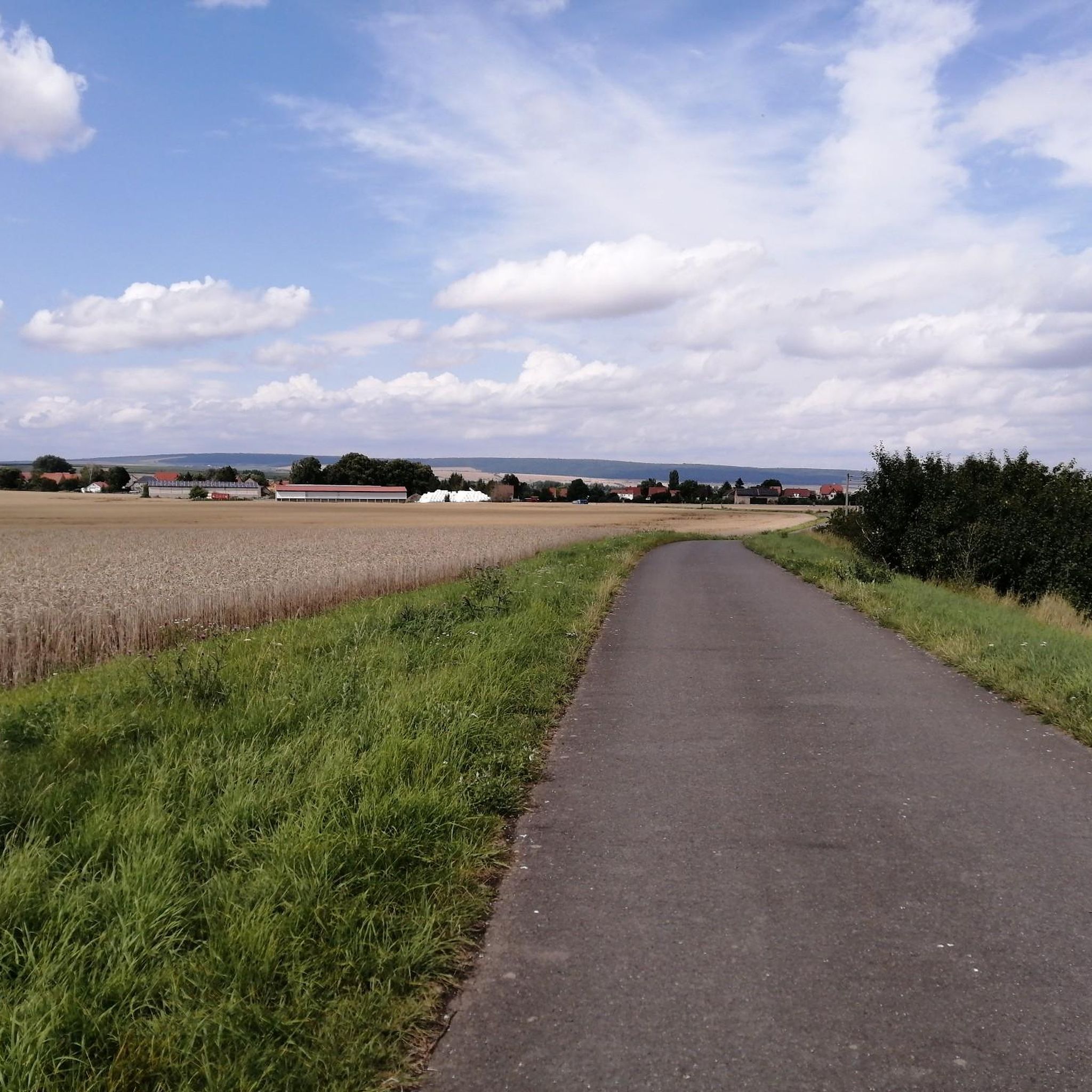
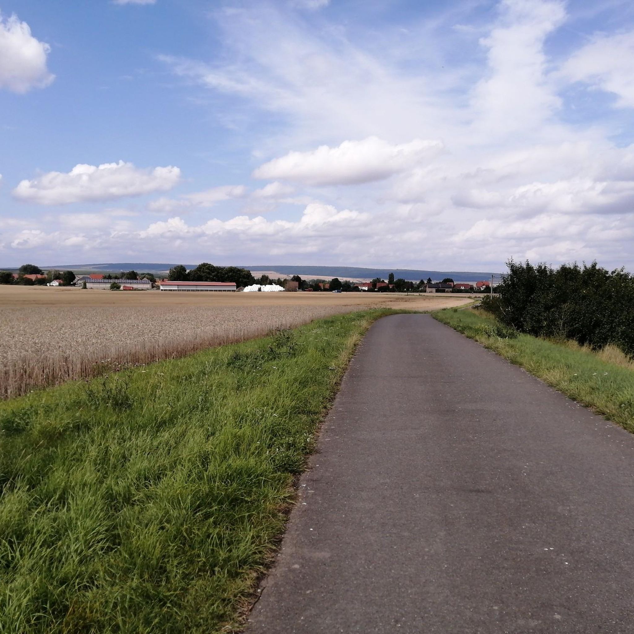
Beautiful viewpoint overlooking the banks and meadows of the Unstrut river.
1
0

There is currently no circular route; you end up in a dead end, with water and moor to the left and right and finally just reeds - see my photos.
0
0

During the summer months, the Weißensee Swimming Pool, opened in 1934, is a popular attraction for residents and visitors of the town of Weißensee. Located directly next to the campsite, the attractive location and spacious design of the swimming complex offer fun and relaxation for young and old. In addition to a swimming pool with a total water surface of 750 square meters, visitors seeking peace and relaxation will find a relaxation area and play area. The play area features two volleyball courts. A children's pool is also available. Food and beverages are available for purchase at the pool. The pool is open from May to September.
0
0

Perfect for a refreshing break: In the beach club you will find an oasis of well-being with an excellent swimming lake, large natural grass areas, fine sandy beach, nudist area, catering, tent and caravan area and a beach volleyball court.
0
0
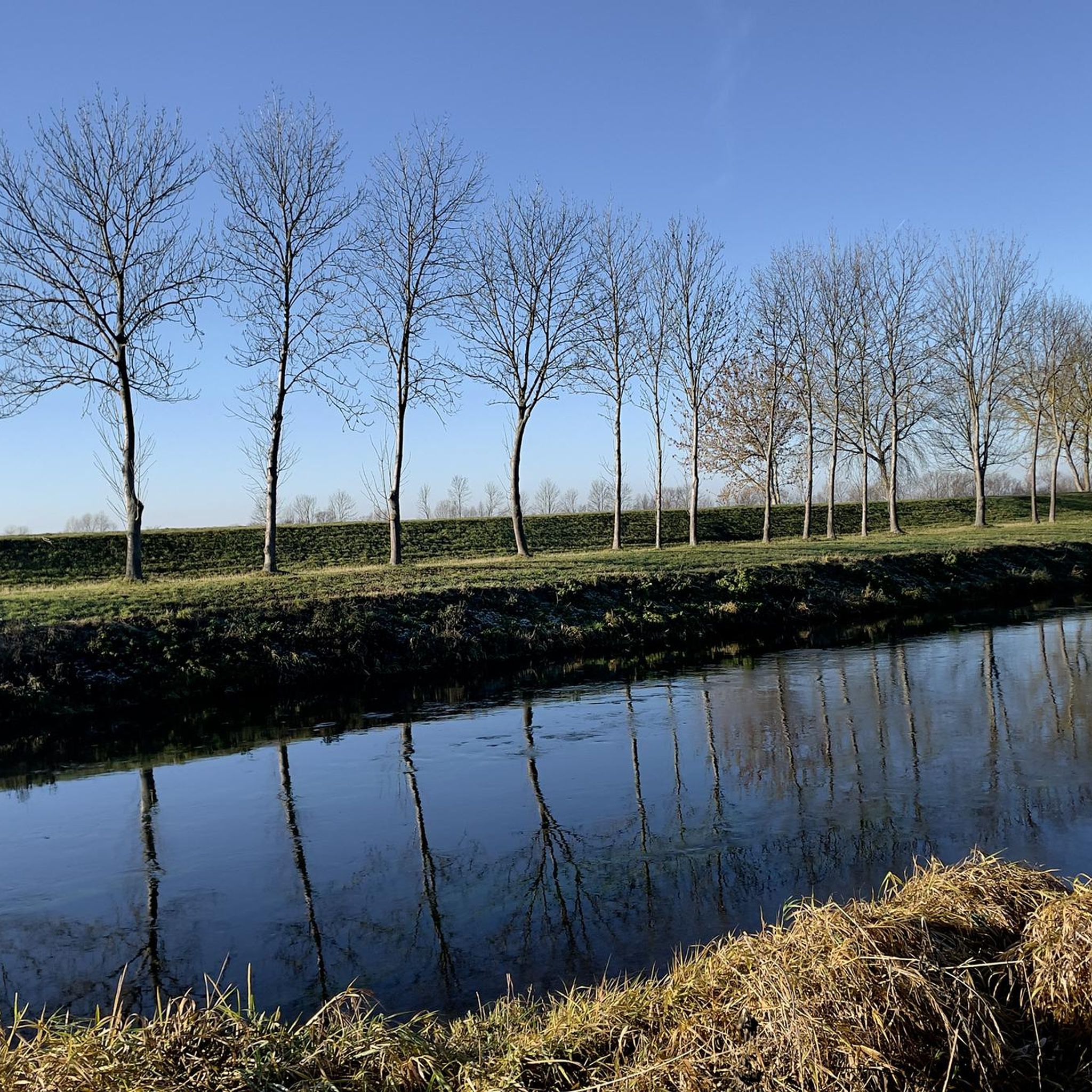
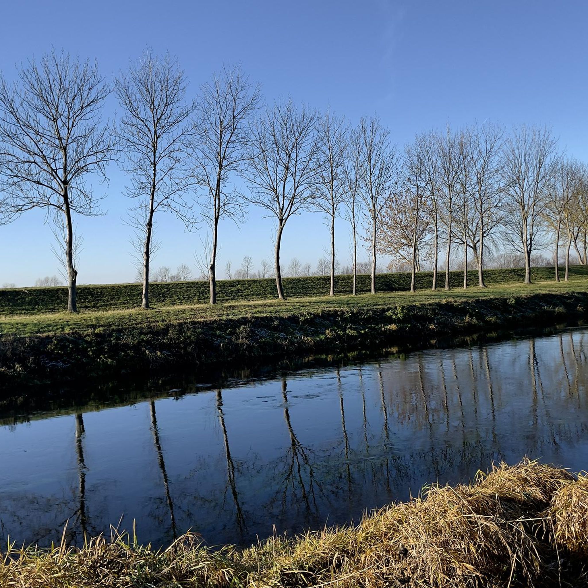
This path runs directly along the banks of the Unstrut, so you can always enjoy a great view of the water. This section is part of the Unstrut cycle path, so you share the path with other cyclists.
0
0

Small suspension bridge on the Unstrut cycle path to cross the Lossa.
11
0

Please keep the environment clean.
0
0
Please keep the environment clean.
1
0
Frequently Asked Questions
How many hiking trails are available around Griefstedt?
Griefstedt offers a wide variety of hiking opportunities, with over 300 routes available. These range from easy strolls to more challenging hikes, ensuring there's something for every preference.
What kind of terrain can I expect on hikes near Griefstedt?
The region around Griefstedt is characterized by gentle hills and open countryside, with the Unstrut River as a central natural feature. Most trails have low elevation changes, making them generally accessible and suitable for various fitness levels. You'll find picturesque routes along the river and through pleasant landscapes.
Are there easy hiking options suitable for beginners or casual walkers?
Yes, Griefstedt is very welcoming for beginners and casual walkers. Over 180 of the available routes are classified as easy, featuring gentle terrain and minimal elevation gain. Many paths, like sections of the Unstrut Cycle Path, are smooth and offer pleasant walking conditions.
Can I find circular hiking routes in the Griefstedt area?
Absolutely. Many of the trails around Griefstedt are designed as loops, allowing you to start and end at the same point. An example is the Rathsteiche Pond – Path Around the Raths Ponds loop from Günstedt, which is a popular circular route exploring the local ponds.
What natural features can I explore while hiking in Griefstedt?
The Unstrut River is a dominant natural feature, offering scenic views and formations like the Thuringian Gate (Thüringer Pforte). You can also enjoy the tranquil waters of Leubingen Gravel Lake, which is part of the Leubingen Gravel Lake – Lossa Bridge at Leubingen loop from Leubingen trail.
Are there any historical landmarks or attractions to see on a hike?
Yes, the region combines natural beauty with historical sites. From the Unstrut, you can catch impressive views of the historic Sachsenburgen castles. Other nearby historical points of interest include the Lower Sachsenburg (Hakenburg) Ruins and Beichlingen Castle.
Is Griefstedt a good destination for family-friendly hikes?
Griefstedt is an excellent choice for families. The gentle terrain and numerous easy trails make it suitable for all ages. Many paths follow the Unstrut River, providing pleasant and safe environments for children. The low elevation changes mean less strenuous walks, allowing families to enjoy nature together.
Are dogs allowed on the hiking trails around Griefstedt?
Generally, dogs are welcome on the hiking trails around Griefstedt. The open countryside and river paths provide ample space for walks with your canine companion. However, it's always advisable to keep dogs on a leash, especially near wildlife or in agricultural areas, and to respect local regulations.
What do other hikers say about the trails in Griefstedt?
The hiking routes in Griefstedt are highly regarded by the komoot community, boasting an average rating of 4.7 stars from over 1,000 reviews. Hikers often praise the scenic river landscapes, the accessibility of the trails, and the opportunity to combine natural exploration with visits to historical sites.
Where can I park my car when hiking near Griefstedt?
Parking is generally available in and around the villages that serve as starting points for many trails. For instance, if you plan to hike the Lossa Bridge at Leubingen loop from Scherndorf, you would typically find parking options within Scherndorf or nearby settlements.
Are there any longer hiking routes for experienced hikers?
While many trails are moderate, there are options for longer excursions. For example, the Rest Area on the Unstrut River – Unstrut River loop from Scherndorf is a 9.2-mile (14.8 km) trail that takes about 3 hours 43 minutes to complete, offering a more extended experience along the river valley.
What is the best time of year to go hiking in Griefstedt?
Griefstedt is enjoyable for hiking throughout much of the year. Spring and autumn offer pleasant temperatures and beautiful scenery with blooming flowers or vibrant foliage. Summer is also popular, especially for river-side walks. Even in winter, the gentle terrain can be suitable for walks, though conditions may vary.
Most popular attractions around Griefstedt

Get inspired with the komoot mobile app


Explore more
Browse the best Hikes in other regions.
