The best running trails around Wolsingham
4.1
(8)
1,450
runners
28
runs
Jogging around Wolsingham offers a variety of terrain, from tranquil riverside paths along the River Wear and Waskerley Beck to open moorland and rolling hills. The region is situated on the edge of the North Pennines Area of Outstanding Natural Beauty (AONB), providing diverse landscapes for running. Runners can explore routes around Tunstall Reservoir, through wooded sections, and across expansive fields. This area provides options for various fitness levels, from gentle riverside loops to more challenging, undulating trails.
Best jogging…
Last updated: June 26, 2026
26
runners
48.2km
06:04
1,130m
1,130m
Hard run. Very good fitness required. Mostly paved surfaces. Suitable for all skill levels.
18
runners
17.5km
02:01
370m
370m
Hard run. Very good fitness required. Mostly paved surfaces. Suitable for all skill levels.

Sign up for free
15
runners
4.50km
00:28
50m
50m
Easy run. Great for any fitness level. Mostly paved surfaces. Suitable for all skill levels.
14
runners
10.1km
01:06
100m
100m
Moderate run. Good fitness required. Mostly paved surfaces. Suitable for all skill levels.
8
runners
5.52km
00:35
50m
50m
Moderate run. Good fitness required. Mostly paved surfaces. Suitable for all skill levels.
Get access to more routes and recommendations from other explorers.
Sign up for free
Already have an account?
Our route recommendations are based on thousands of hikes, rides, and runs completed by other people on komoot.
Start today with a free account
Your next adventure awaits.
Login or Signup
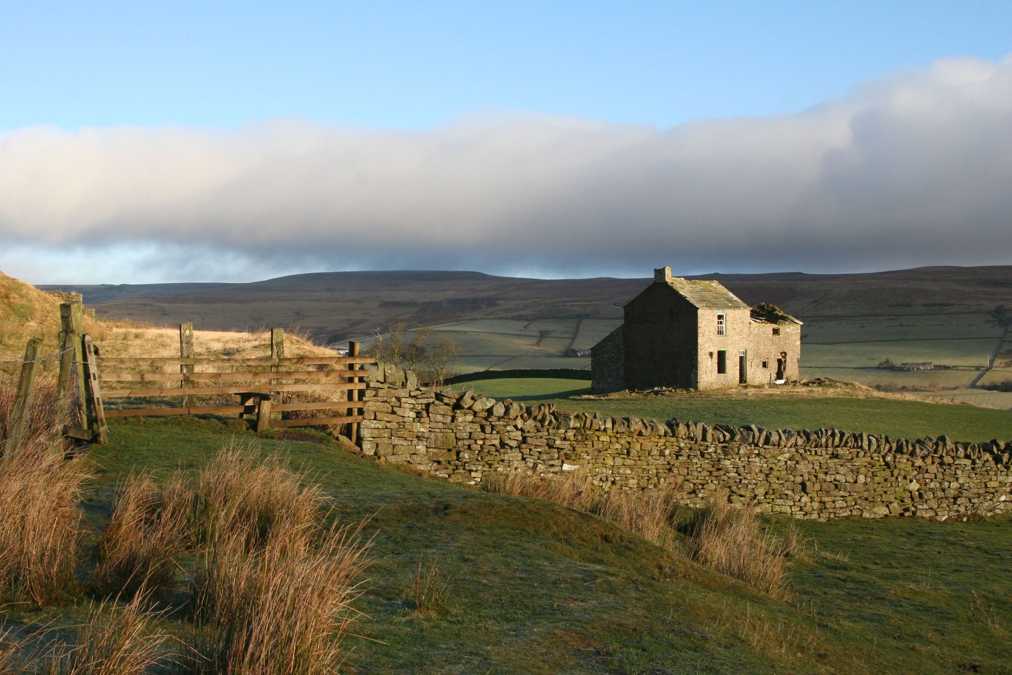
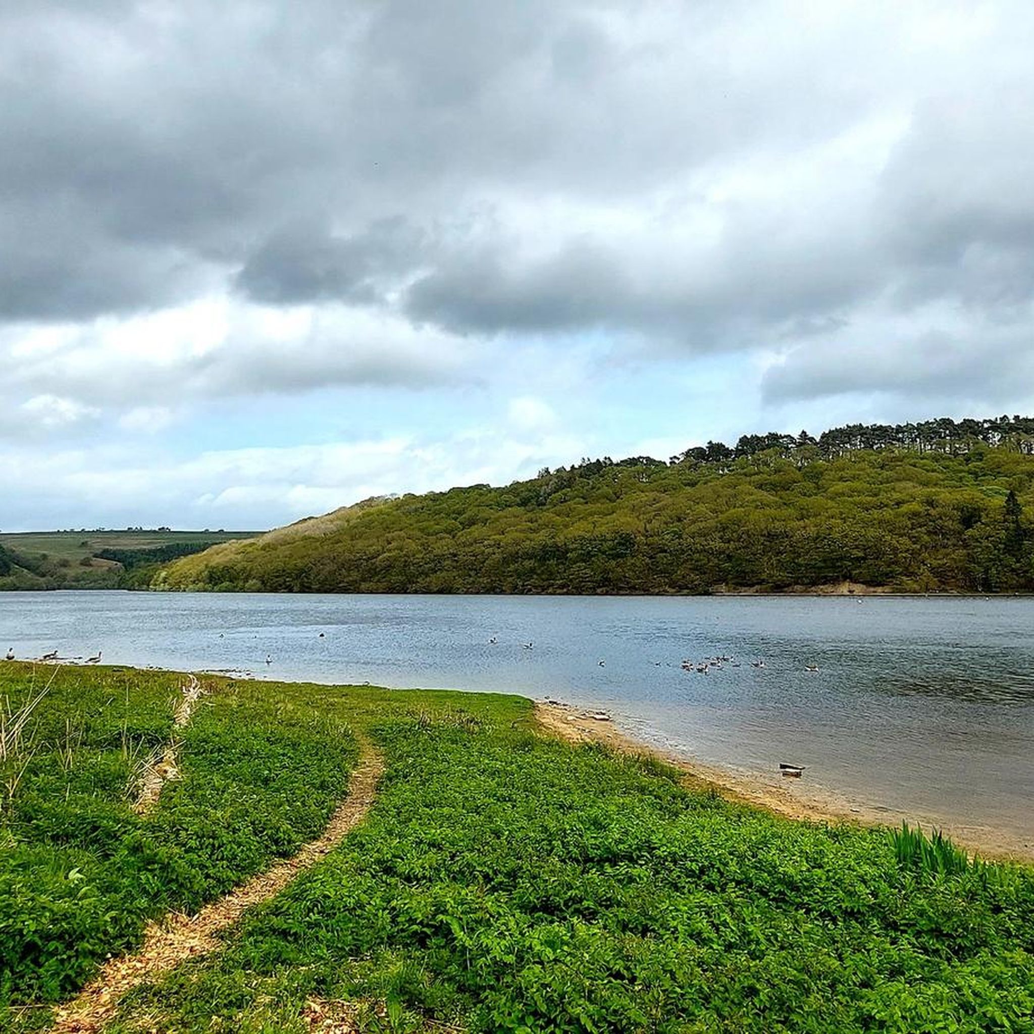
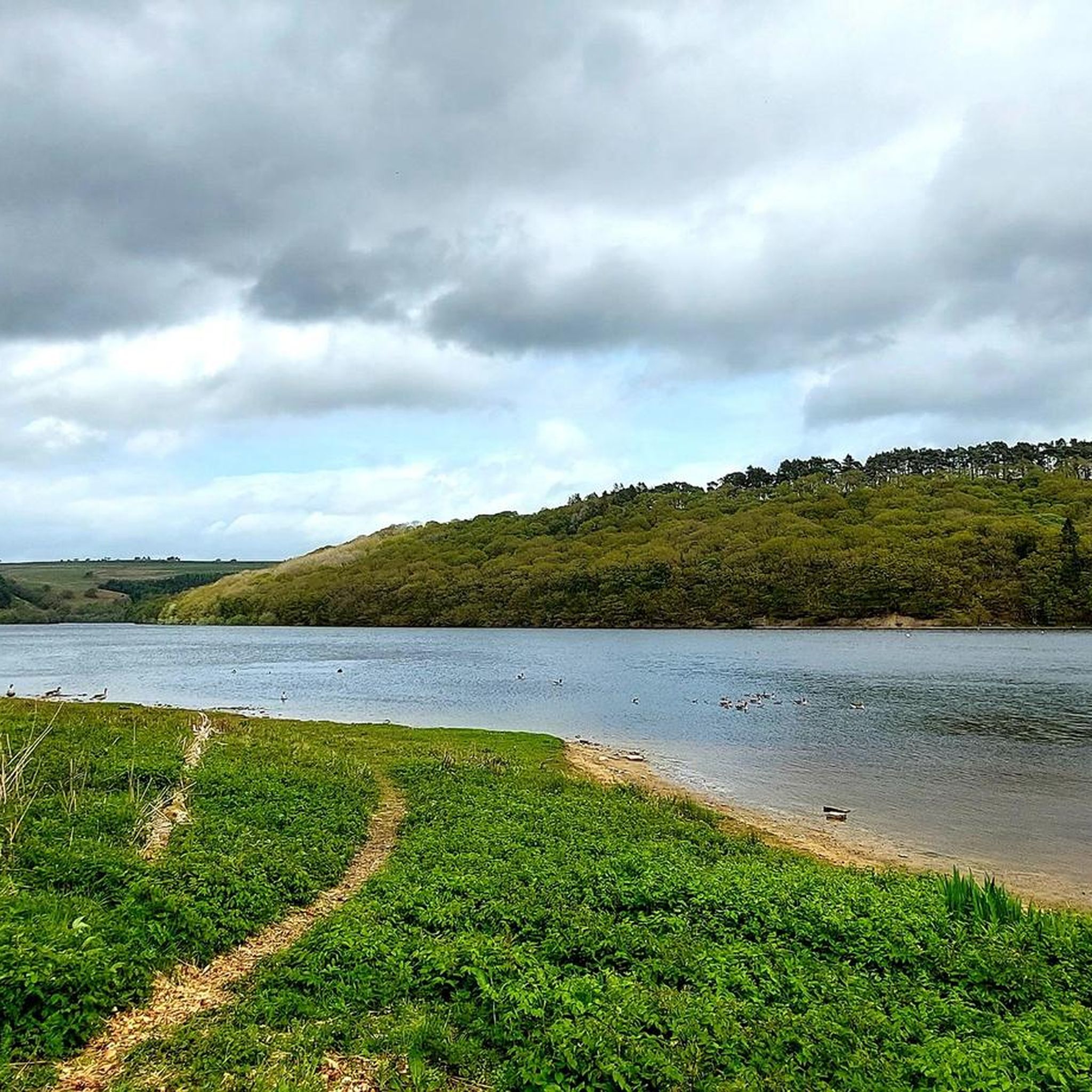
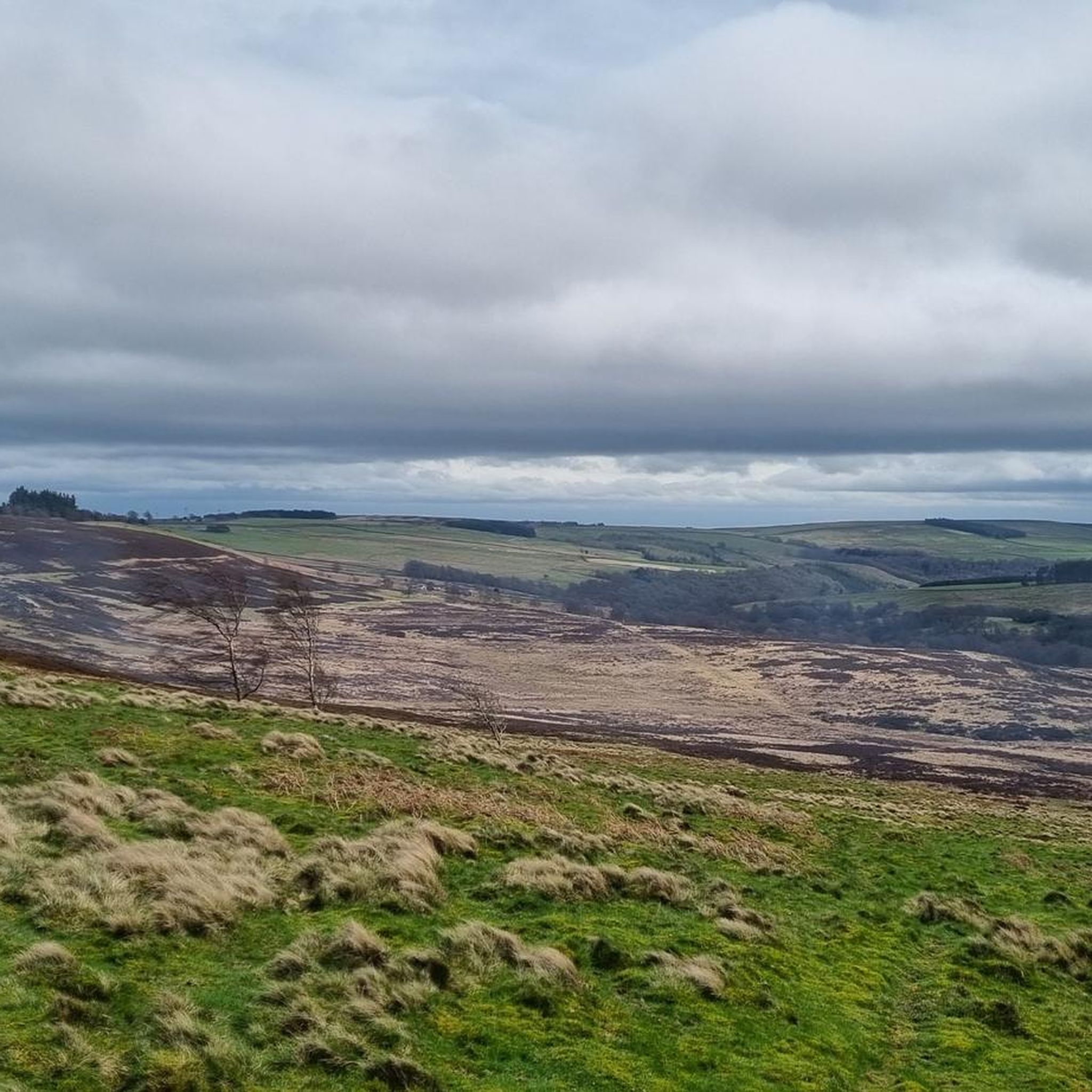
Other adventures around Wolsingham

Tips from the Community


This is a fantastic day out that caters for all types of sports really. Ive beem going here since i was a child and always enjoy it. Ive even done Parkrun here, which is a challenging trail course.
0
0

The Wear catchment stretches from the eastern North Pennines to the North Sea coast, encompassing the majority of County Durham. The river is formed at Wearhead, from the confluence of Burnhope and Killhope Burns, and flows east through Weardale to Bishop Auckland before turning north and flowing through Durham and Chester-le-Street before reaching the sea at Sunderland.
0
0
A quiet picnic area alongside the Waskerley Beck with lots of parking. A number of walks are possible from here including the Family Walk, an easy circular route on footpaths accessible for pushchairs and wheelchairs, 1.5 miles long.
0
0

The Forgotten Quarry (also known as Fine Burn Quarry) is a superb place for a walk during any season. This former limestone quarry forms a part of the Weardale Way, a long-distance footpath that follows the River Wear's journey from the Durham Dales to the North Sea, or vice versa. The path follows the course of a former railway track used to transport the mined limestone. Here, Bollihope Burn – a tributary of the River Wear, tumbles through woodland – creating a haven for wildlife.
0
0

Just beside the Bollihope Burn, you can go alongside this disused limestone quarry. It is often partially flooded with water, adding to the beauty of this picturesque place.
1
0

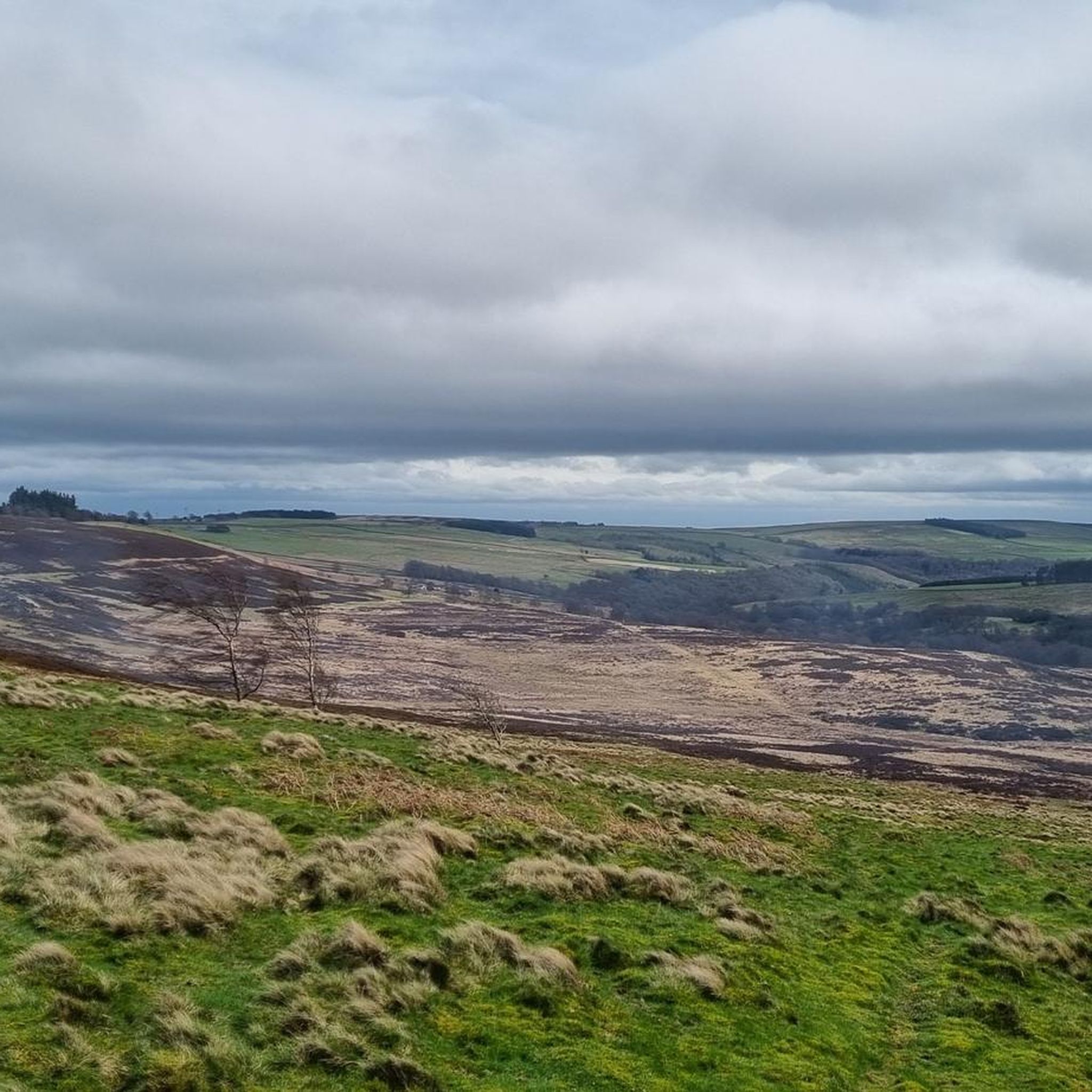
This is a scenic open road over moorland and reaches an impressive elevation of 511m on Middleton Common. It’s an undulating road but offers fabulous views in all directions. It crosses the border between Teasdale and Weardale.
0
0

Frequently Asked Questions
How many running routes are available in Wolsingham?
Wolsingham offers a wide selection of running routes, with over 30 options available. These range from easy riverside paths to more challenging moorland trails, catering to various fitness levels.
Are there easy running routes suitable for beginners or families in Wolsingham?
Yes, Wolsingham has several easy running routes perfect for beginners or families. For instance, the Running loop from Oak Lea Farm is an easy 2.8-mile (4.5 km) trail. The region also features a 1.5-mile "Family Walk" from the Recreation Ground, which is accessible for pushchairs and wheelchairs, offering a gentle option.
What kind of terrain can I expect on running trails around Wolsingham?
Runners in Wolsingham can experience a diverse range of terrain. You'll find tranquil riverside paths along the River Wear and Waskerley Beck, open moorland, rolling hills, and wooded sections. The area is on the edge of the North Pennines AONB, providing varied landscapes from gentle loops to more challenging, undulating trails.
Are there any running routes with good views or natural landmarks?
Absolutely! Many routes offer stunning views. For panoramic vistas, consider trails that ascend to higher elevations like Bolts Law. The Tunstall Reservoir – Market Place, Wolsingham loop from Sand Edge Common provides scenic views across the water and through wooded banks. You can also explore the unique "Elephant Trees" on a moderate 9.9-mile (16.0 km) loop from Wolsingham Railway Station.
Can I find circular running routes in Wolsingham?
Yes, Wolsingham is well-suited for circular running routes. The Tunstall Reservoir – Market Place, Wolsingham loop from Sand Edge Common is a popular circular option. The Wolsingham Wayfarers also offer named circular routes like "The Mile of Stiles" and the "Elephant Trees Walk." The 5.75-mile Wolsingham Circular Walk, starting from Demesne Mill Picnic Area, is another great choice.
What are some challenging running options for experienced runners?
For those seeking a more rigorous run, Wolsingham offers challenging routes with significant elevation. The Weardale–Teesdale Pass (B6278) – Bollihope Limestone Quarry loop from Wolsingham is a difficult 48 km trail with over 1100 meters of elevation gain. The Cragg Wood Singletrack – Route 666 Trail loop from Blackburn Gill is another difficult option, covering 17.5 km with considerable climbs.
What do other runners enjoy most about jogging in Wolsingham?
The running routes in Wolsingham are highly rated by the komoot community, with an average score of 4.3 stars from over 9 reviews. Runners often praise the diverse landscapes, from tranquil riverside paths to open moorland, and the variety of options suitable for different fitness levels. The scenic views, especially around Tunstall Reservoir, are also frequently highlighted.
Are the running trails around Wolsingham dog-friendly?
Many of the trails around Wolsingham are suitable for running with dogs, especially those through moorland and woodlands. However, it's always advisable to keep dogs on a lead, particularly in areas with livestock or during nesting seasons. Hamsterley Forest, a short distance away, also offers dedicated trails where dogs are welcome.
Where can I find parking for running routes in Wolsingham?
Wolsingham offers various starting points for routes, and parking is generally available. The Wolsingham Railway Station is a common starting point for several popular loops, and Demesne Mill Picnic Area also serves as a starting point for a circular walk. Look for local car parks within the town or near popular trailheads.
Is Wolsingham accessible by public transport for runners?
Wolsingham is a well-established town in Weardale, and while specific public transport links to every trailhead might vary, the town itself is generally accessible. The historic Wolsingham Railway Station serves as a starting point for many routes, suggesting good local connectivity. For detailed public transport information, it's best to check local bus schedules.
What natural attractions or points of interest can I explore near the running routes?
Beyond the trails themselves, Wolsingham is surrounded by interesting natural features. You can explore the Waskerley Way, a traffic-free path, or visit the impressive Hownsgill Viaduct. The Bolt's Law summit offers incredible views, and the nearby Hamsterley Forest provides extensive woodlands to discover.
What's the best time of year to go running in Wolsingham?
Wolsingham offers great running opportunities year-round, but each season has its charm. Spring and summer bring lush greenery and warmer temperatures, ideal for riverside paths. Autumn offers beautiful foliage, especially in wooded areas like Hamsterley Forest. Winter can be challenging on higher moorland but provides crisp, clear runs on lower trails. Always check local weather conditions before heading out.
Most popular routes around Wolsingham
Most popular attractions around Wolsingham

Get inspired with the komoot mobile app


Explore more
Browse the best Running Trails & Routes in other regions.
