The best cycling routes around Thornley
4.5
(185)
2,323
riders
149
rides
Touring cycling routes around Thornley traverse a largely rural landscape within the Ribble Valley District, characterized by scattered farms and the western part of Longridge Fell. The area lies within the Forest of Bowland National Landscape, featuring commanding fells, lush green valleys, and significant rivers like the Ribble and Loud. Terrain varies from gentle country lanes to challenging climbs, offering diverse cycling experiences.
Best touring cycling routes around Thornley
- The most popular touring cycling route is Thorpe Thewles Station –…
Last updated: May 14, 2026
5.0
(3)
46
riders
65.9km
04:17
440m
440m
Hard bike ride. Good fitness required. You may need to push your bike for some segments of this route.
5.0
(1)
18
riders
41.0km
02:51
220m
220m
Hard bike ride. Good fitness required. You may need to push your bike for some segments of this route.

Sign up for free
4.0
(1)
6
riders
26.3km
01:46
220m
220m
Hard bike ride. Good fitness required. You may need to push your bike for some segments of this route.
5.0
(1)
7
riders
29.4km
02:00
230m
230m
Hard bike ride. Good fitness required. You may need to push your bike for some segments of this route.
3
riders
18.8km
01:09
150m
150m
Moderate bike ride. Good fitness required. Mostly paved surfaces. Suitable for all skill levels.
Get access to more routes and recommendations from other explorers.
Sign up for free
Already have an account?
Our route recommendations are based on thousands of hikes, rides, and runs completed by other people on komoot.
Start today with a free account
Your next adventure awaits.
Login or Signup
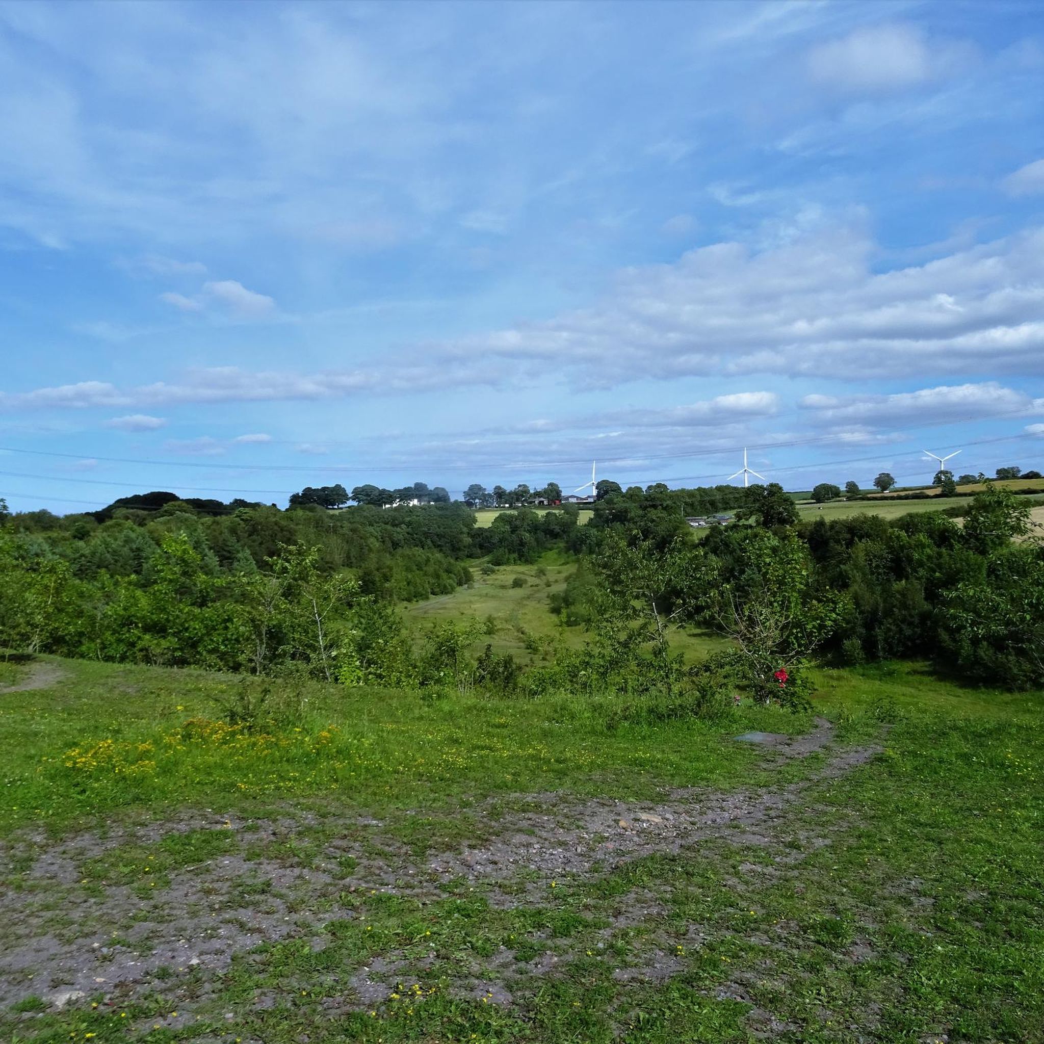
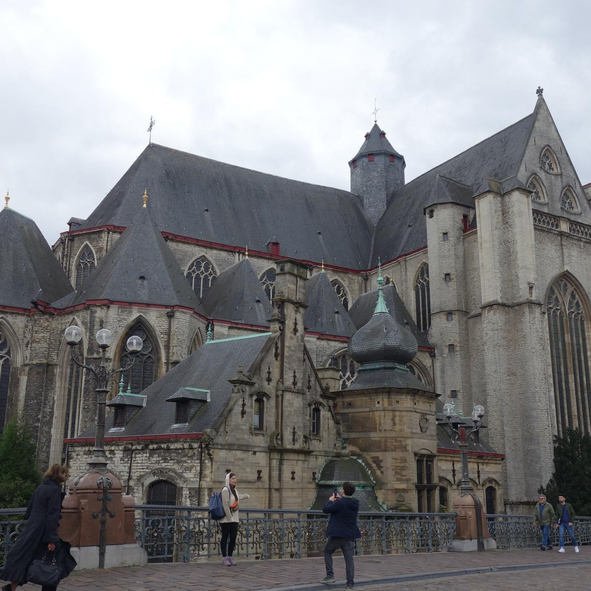

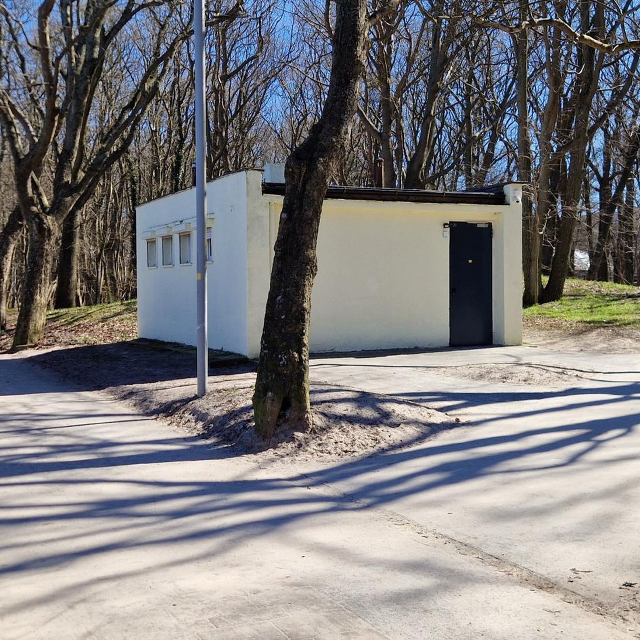
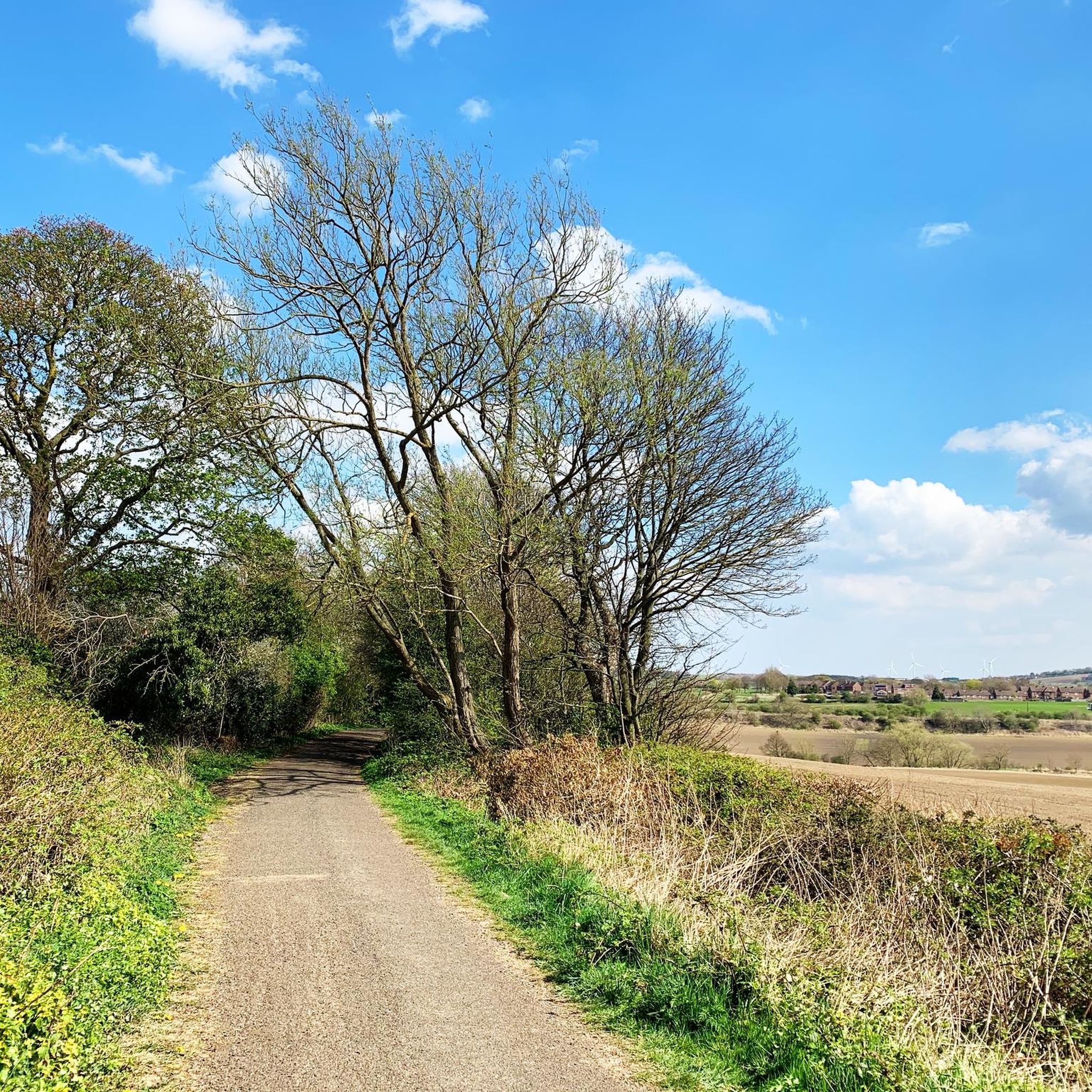
Tips from the Community

go left near jumps at top also lil gap at bottom just send it it was good
0
0

A nice gentle route but be wary of walkers with dogs.
0
0

This track has recently been tarmacked from "South Hetton" to "Shotton" the restriction in the photo is not there now
2
1

Hurworth Burn Reservoir is a 21 acre lake built in 1867. It's surrounded by woodland and attracts a rich variety of wildlife.
1
0

Colourful way marker
0
0

Love this route from Stockton right up the castle Eden walkway to Wingate return. Reasonably flat...have to be mindful of dog walkers .
0
0

Nice little cafe within a, no longer used, railway station.
0
0
Frequently Asked Questions
What kind of terrain can I expect on touring cycling routes around Thornley?
The terrain around Thornley, situated within the Ribble Valley District and the Forest of Bowland National Landscape, offers a diverse cycling experience. You'll find everything from gentle country lanes, perfect for leisurely rides, to challenging climbs that test more experienced cyclists. The area is largely rural, characterized by scattered farms, open fells, and lush green valleys, with routes often following quiet B-roads and dedicated cycle paths.
Are there any easy touring cycling routes suitable for beginners in Thornley?
Yes, Thornley offers several easier routes. For instance, the Miners Meadow – Durham Angel Statue loop from Thornley is an easy 9.9-mile (16.0 km) trail that leads through local meadows and past landmarks, often completed in under an hour. Overall, 51 of the 153 touring cycling routes in the area are rated as easy.
What are some longer, more challenging touring cycling routes in the area?
For experienced touring cyclists seeking a challenge, the region provides demanding options. The Thorpe Thewles Station – Hurworth Burn Reservoir loop from Thornley is a difficult 41.2-mile (66.3 km) trail featuring significant elevation gain through varied rural landscapes. Another challenging option is the Hart to Haswell Walkway – Carr House Sands loop from Wingate, a difficult 25.5-mile (41.0 km) path offering a mix of trails and quiet roads through open countryside.
Are there any circular touring cycling routes around Thornley?
Yes, many of the touring cycling routes around Thornley are designed as loops, allowing you to start and finish at the same point. For example, the Crimdon Beach – Hart to Haswell Walkway loop from Wingate is a difficult 16.3-mile (26.3 km) route. The wider Forest of Bowland also features circular rides like the 'Long Loop of the Forest of Bowland' for road cyclists and 'Grizedale & Bleasdale' for varied terrain.
What attractions or points of interest can I see along the touring cycling routes?
While cycling, you can explore various natural and historical points of interest. The Hurworth Burn Reservoir is a notable lake you might pass. The wider region offers attractions like the Durham Heritage Coast and the Castle Eden Dene National Nature Reserve. You can also find viewpoints such as the Freemen's Beacon Viewpoint, Beacon Hill, offering panoramic views of the landscape.
Are there family-friendly cycling options in Thornley?
Yes, the region offers routes suitable for families, particularly those on gentler country lanes. While specific family-designated routes are not listed in the immediate Thornley area, the overall network includes 51 easy routes that could be suitable. The broader Ribble Valley also features quiet B-roads that are ideal for less experienced riders.
What do other touring cyclists enjoy most about cycling in Thornley?
The touring cycling routes around Thornley are highly rated by the komoot community, with an average score of 4.5 stars from over 180 reviews. Cyclists often praise the varied rural landscapes, the mix of quiet roads and trails, and the opportunities to explore open countryside and local landmarks. Over 2400 touring cyclists have used komoot to explore the area's diverse terrain.
Are there cafes, pubs, or accommodation options near the cycling routes?
Yes, the Ribble Valley, where Thornley is located, is known for its charming villages that offer amenities. Dunsop Bridge, for example, is a pleasant stop with a cafe and a pub. Many routes pass through or near villages where you can find places to refuel or stay overnight. The 'Ribble Valley's The Villages' loop specifically highlights stops at places like Slaidburn, Dunsop Bridge, and Whitewell, which are known for their tea rooms and pubs.
Is public transport available to access cycling routes in Thornley?
While specific public transport links directly to trailheads in Thornley are not detailed, the broader Ribble Valley and surrounding areas have bus services connecting various towns and villages. It's advisable to check local bus schedules for routes that might serve Thornley or nearby starting points for your chosen cycling tour. For longer routes like the Lancashire Cycleway or Way of the Roses, public transport connections to larger towns along the route are more common.
Where can I find parking for touring cycling routes in Thornley?
Parking availability varies by route. For routes like the Hart to Haswell Walkway – Crimdon House Bridge loop from The Bottoms SSSI, you might find parking near the designated starting points or in nearby villages. For specific routes, it's recommended to check the route details on komoot or local council websites for information on parking facilities at trailheads or in adjacent communities.
What is the best season to go touring cycling in Thornley?
The best time for touring cycling in Thornley, like much of the UK, is generally from spring through early autumn (April to October) when the weather is milder and daylight hours are longer. During these months, you can fully appreciate the lush green valleys and fells of the Forest of Bowland. While winter cycling is possible, routes may be more challenging due to colder temperatures, shorter days, and potentially wet or icy conditions.
Are there any permits required for cycling on trails in Thornley or County Durham?
Generally, permits are not required for touring cycling on public roads, bridleways, or designated cycle paths in Thornley or the wider County Durham area. However, if you plan to cycle on private land or within specific nature reserves, it's always best to check local regulations. For example, Brockholes Nature Reserve, while allowing limited cycling on the Guild Wheel Cycle Route, may have specific rules for other areas.
Most popular attractions around Thornley

Get inspired with the komoot mobile app


Explore more
Browse the best Cycling routes in other regions.
