The best running trails around Satley
4.5
(11)
2,780
runners
189
runs
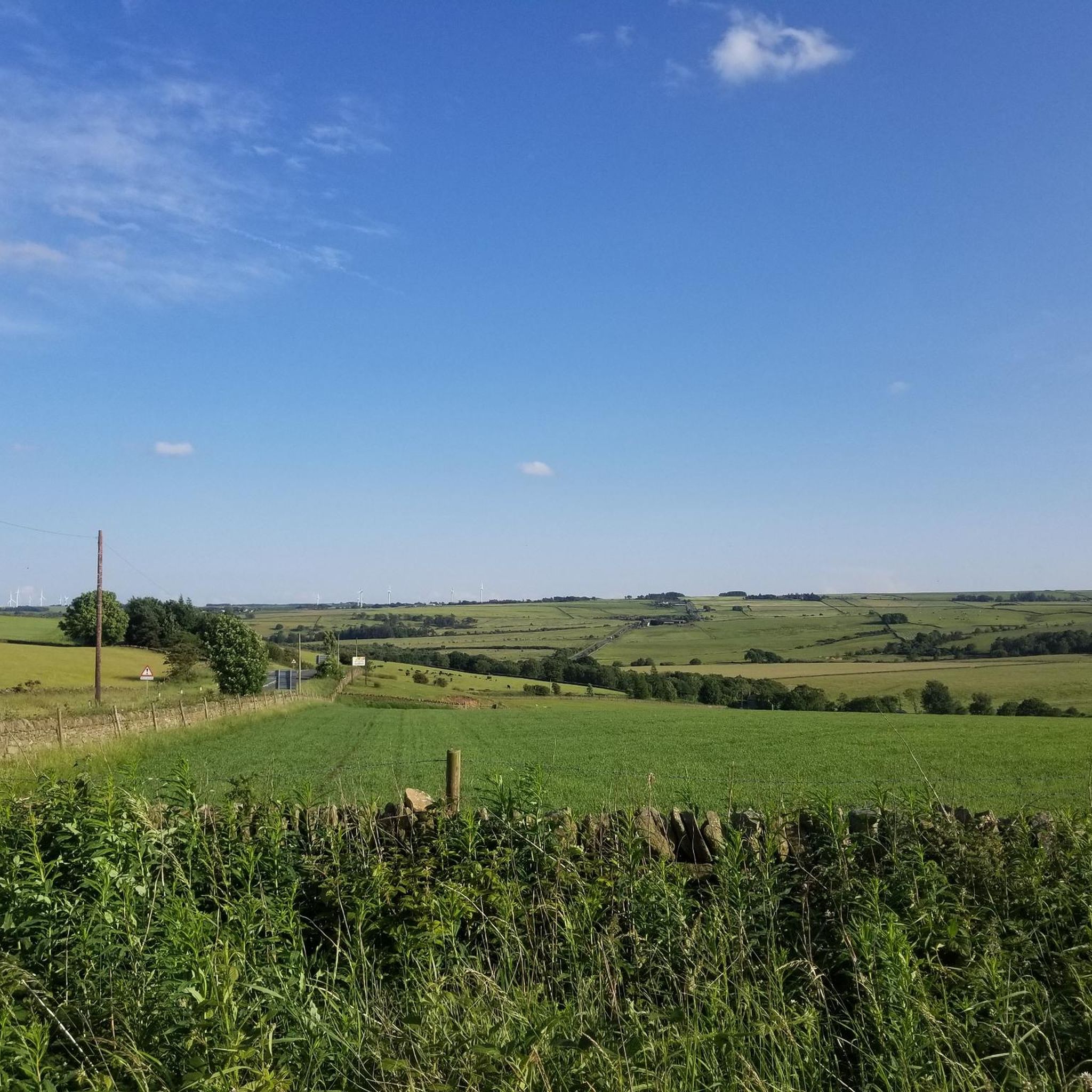
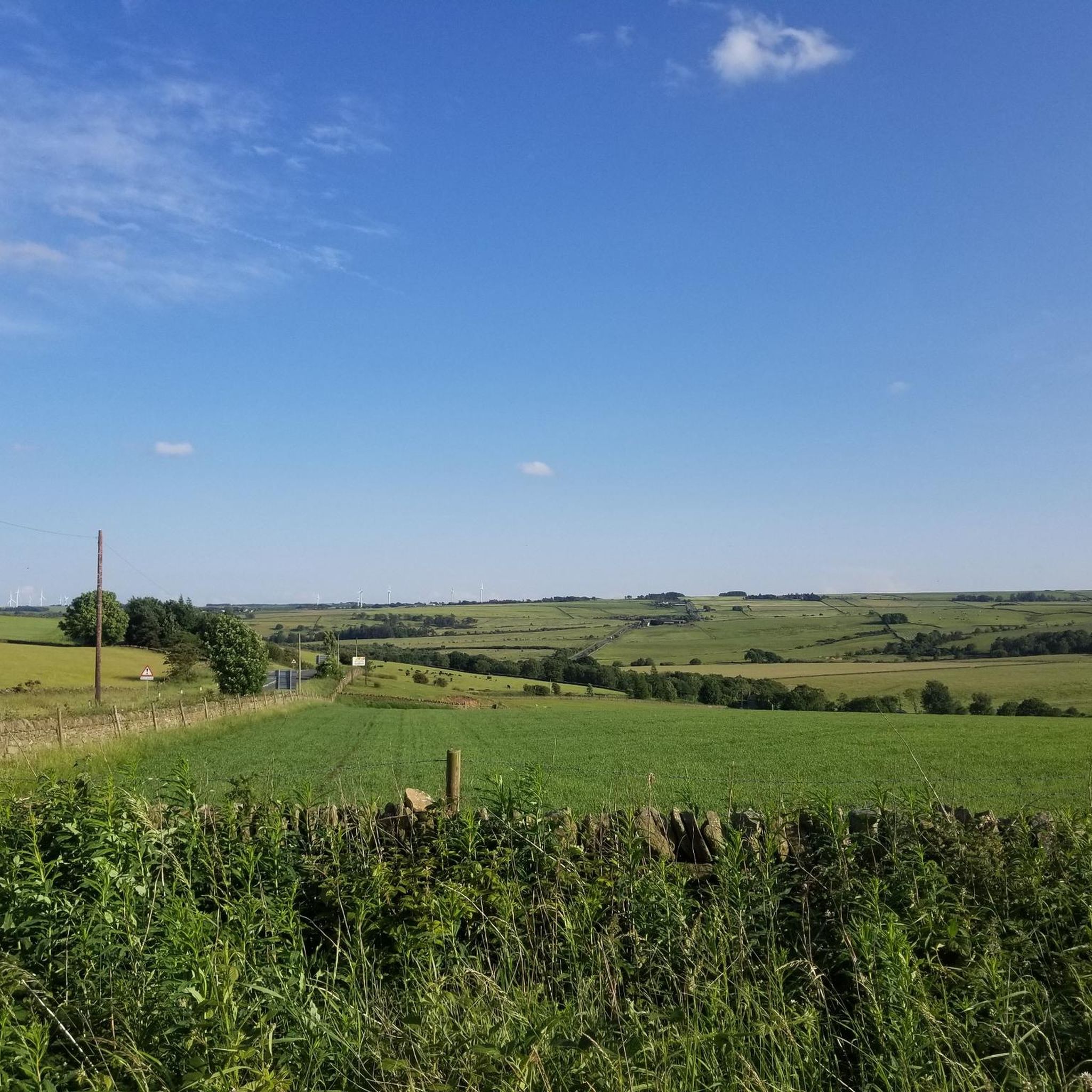
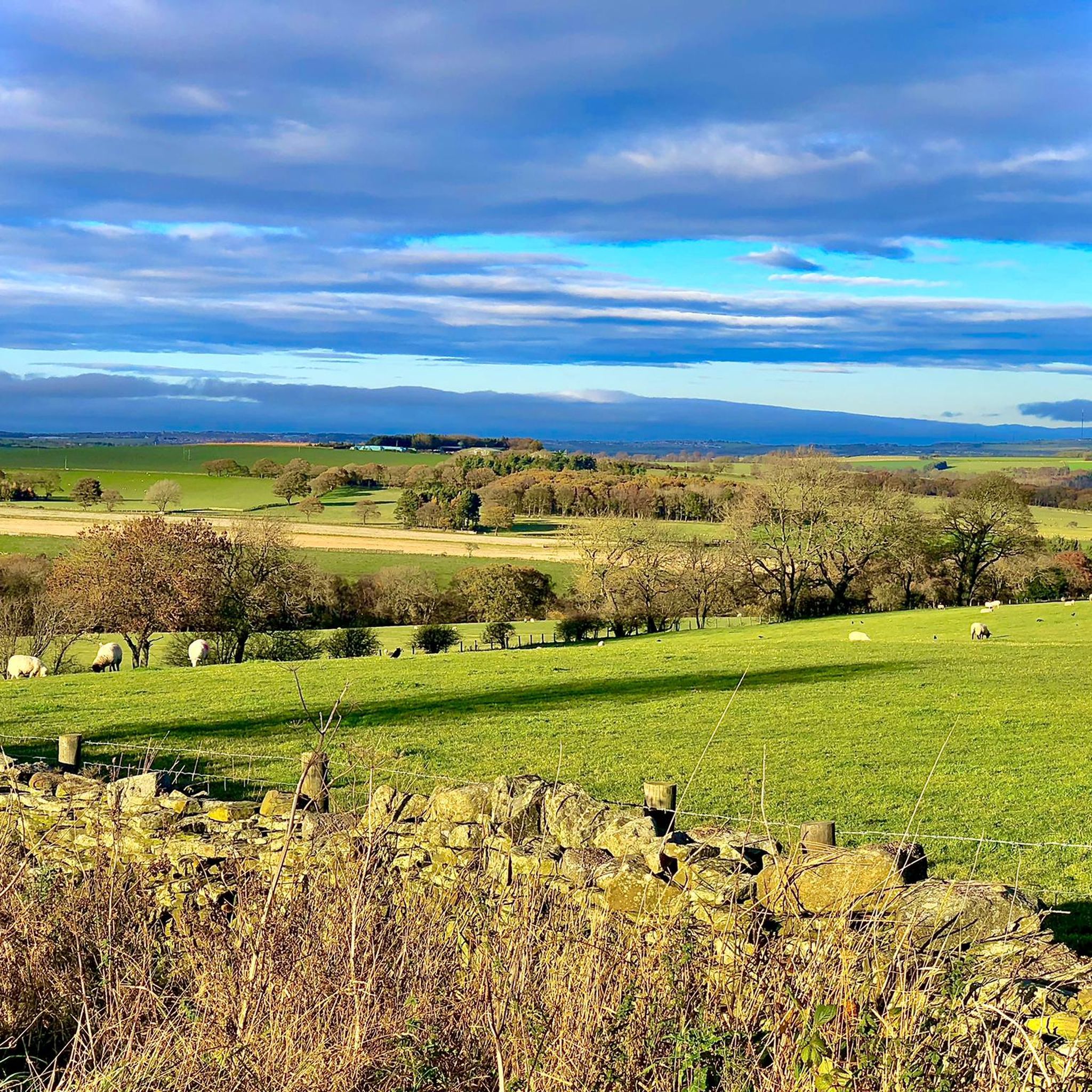
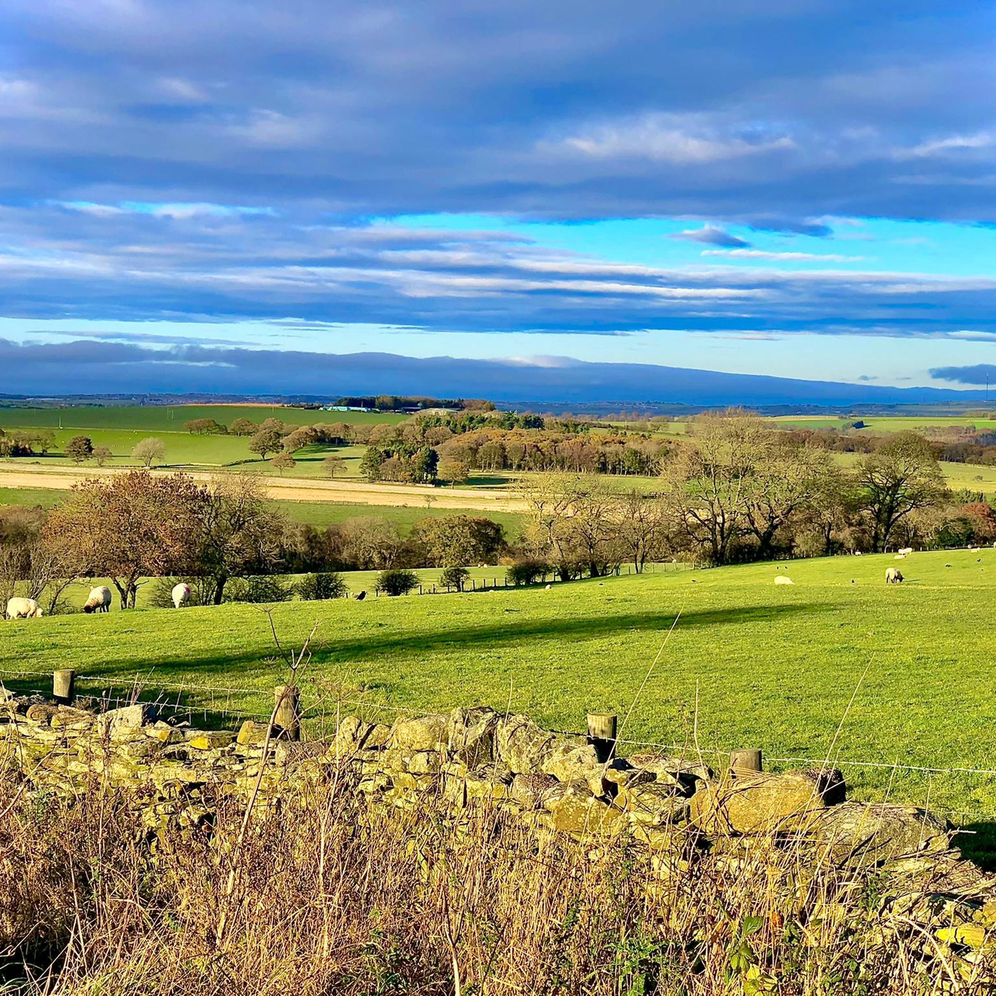
Jogging routes around Satley are set within a picturesque rural landscape in County Durham, characterized by its narrow valley setting and undulating terrain. The region offers diverse scenery, including open countryside, woodland, and wetlands, providing varied challenges for runners. Elevations range from 133 meters to 346 meters, ensuring a mix of inclines and declines.
Best jogging routes around Satley
- The most popular jogging route is Hisehope & Smiddy Shaw reservoirs loop, a 4.7 miles (7.6 km) trail that takes…
Last updated: June 26, 2026
7
runners
7.64km
00:51
70m
70m
Moderate run. Good fitness required. Mostly paved surfaces. Suitable for all skill levels.
16
runners
Easy run. Great for any fitness level. Mostly paved surfaces. Suitable for all skill levels.

Sign up for free
15
runners
Hard run. Very good fitness required. Mostly paved surfaces. Suitable for all skill levels.
14
runners
10.1km
01:06
100m
100m
Moderate run. Good fitness required. Mostly paved surfaces. Suitable for all skill levels.
8
runners
5.52km
00:35
50m
50m
Moderate run. Good fitness required. Mostly paved surfaces. Suitable for all skill levels.
Get access to more routes and recommendations from other explorers.
Sign up for free
Already have an account?
Our route recommendations are based on thousands of hikes, rides, and runs completed by other people on komoot.
Start today with a free account
Your next adventure awaits.
Login or Signup
Tips from the Community

A little gem of a reservoir definitely worth a visit.
0
0
Nice easy walk around with the tranquil sound of the water lapping at the shores.
0
0


This lovely forest trail offers a peaceful green escape through the industrial estate. It’s especially stunning in autumn when the leaves turn vibrant shades of orange and yellow, though be cautious as they can become slippery.
1
0
This is a beautiful section of the 12-mile-long Lanchester Valley Railway Path which was originally built to carry iron ore to Consett Steelworks and coal from Langley Park. Expect tree lined avenues, a river and plenty of horses.
1
0

A quiet picnic area alongside the Waskerley Beck with lots of parking. A number of walks are possible from here including the Family Walk, an easy circular route on footpaths accessible for pushchairs and wheelchairs, 1.5 miles long.
0
0

It's quite easy not to miss on route. A couple of seats near by to sit and have a moment.
0
0

You can reach this reservoir from Waskerley via gravel paths. Completed in the late 19th century, it is part of a group of three reservoirs in this area, with the other two being Waskerley and Hisehope.
1
0
Frequently Asked Questions
How many running routes are available around Satley?
Satley offers a wide selection of running routes, with over 180 trails available for you to explore. These range from easy strolls to more challenging runs, catering to various fitness levels.
Are there running trails suitable for beginners in Satley?
Yes, Satley has several easy running routes perfect for beginners. There are 15 routes specifically graded as easy, allowing for a gentle introduction to the area's beautiful countryside. One such option is the Lanchester Valley Railway Path – Malton Picnic Area loop from Lanchester, which is just over 5 km long with minimal elevation gain.
What kind of terrain can I expect on jogging routes near Satley?
The jogging routes around Satley feature diverse terrain, reflecting its picturesque rural setting in County Durham. You'll encounter open countryside, woodlands, wetlands, and patchwork farmland. The area is characterized by a narrow valley setting, meaning routes often include undulating sections with elevations ranging from 133 to 346 meters, offering a good mix of inclines and declines.
Are there any circular running routes in the Satley area?
Yes, many of the running routes around Satley are circular, providing convenient starting and ending points. For example, the popular Hisehope & Smiddy Shaw reservoirs loop is a 7.6 km circular trail offering scenic views of the local reservoirs.
What notable landmarks or attractions can I see while running in Satley?
Satley's running routes offer access to several interesting landmarks. You can explore sections of the Waskerley Way, a traffic-free path known for its varied landscapes. Other points of interest include the impressive historic Hownsgill Viaduct and the unique Elephant Trees on Pikeston Fell, a distinctive cluster of trees resembling an elephant.
Are there any running routes near reservoirs in Satley?
Absolutely. The area around Satley is home to several beautiful reservoirs. The Tunstall Reservoir – Market Place, Wolsingham loop from Sand Edge Common is a fantastic 10.1 km route that features the scenic Tunstall Reservoir. You can also find routes around Hisehope Reservoir and Smiddy Shaw Reservoir.
What do other runners say about the trails in Satley?
The running trails in Satley are highly regarded by the komoot community, boasting an average rating of 4.5 stars from over 10 reviews. More than 2,700 runners have explored the varied terrain, often praising the picturesque countryside and the diverse challenges offered by the routes.
Are the running routes in Satley suitable for families?
Many of Satley's running routes are suitable for families, especially the easier graded trails. The varied landscapes and points of interest like the Waskerley Way or nearby Hall Hill Farm can make for an engaging outing. Always check the route difficulty and length to ensure it matches your family's capabilities.
Can I bring my dog on the running trails around Satley?
Generally, many trails in the Satley area are dog-friendly, especially those on public footpaths and bridleways. However, it's always recommended to keep dogs under control, particularly when passing through farmland with livestock. Specific routes like the Waskerley Way are popular with dog walkers and runners.
Are there cafes or pubs near the running routes in Satley?
While Satley itself is a small village, there are amenities in the wider area. For example, the Hamsterley Forest Café is a good option if your run takes you towards that area. For specific routes, it's advisable to check local maps for nearby establishments in surrounding towns like Lanchester or Wolsingham.
What is the best time of year to go running in Satley?
Satley's countryside offers beautiful running conditions throughout much of the year. Spring and autumn provide pleasant temperatures and vibrant scenery. Summer is also excellent, though some trails might be more exposed to the sun. Winter runs can be invigorating, but be prepared for potentially muddy or icy conditions, especially on higher ground or less maintained paths.
Are there any long-distance running options in Satley?
For those seeking longer runs, Satley offers several options. The View of Lanchester Valley – Terris Novalis Sculptures loop from Lanchester is a challenging 22.8 km route with significant elevation gain, perfect for endurance training. The Waskerley Way itself is 15.6 km long, offering a substantial traffic-free path.
Most popular attractions around Satley

Get inspired with the komoot mobile app


Explore more
Browse the best Running Trails & Routes in other regions.
