The best walks and hikes around Greater Willington
4.6
(669)
4,692
hikers
376
hikes
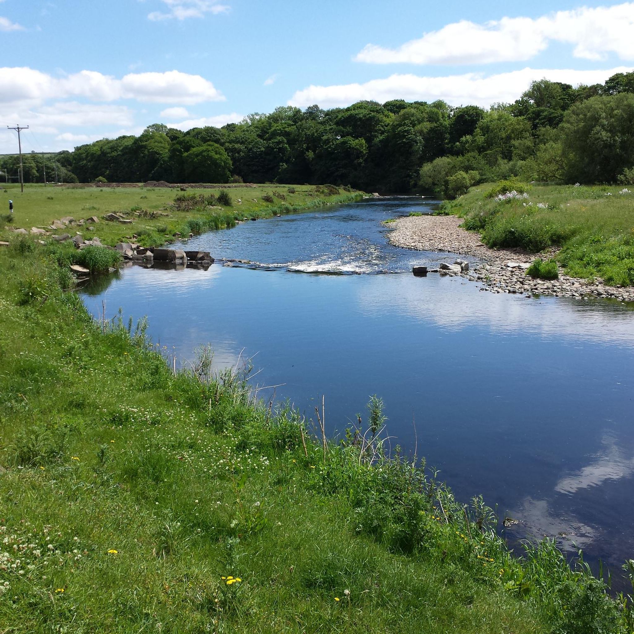
Hikes around Greater Willington explore a landscape shaped by the River Wear and the region's industrial past. The area features a network of paths that follow the river, run along former railway lines, and pass through local nature reserves. The terrain is generally composed of gentle hills and woodland, providing accessible walking trails near the town.
Best hiking trails around Greater Willington
- The most popular hiking route is the Small Stream Crossing – Ancient Oak Trees loop from Willington,…
Last updated: May 14, 2026
4.0
(5)
26
hikers
13.6km
03:33
100m
100m
Moderate hike. Good fitness required. Easily-accessible paths. Suitable for all skill levels.
4.0
(3)
9
hikers
6.61km
01:45
60m
60m
Easy hike. Great for any fitness level. Easily-accessible paths. Suitable for all skill levels.

Sign up for free
10
hikers
7.54km
02:02
100m
100m
Moderate hike. Good fitness required. Easily-accessible paths. Suitable for all skill levels.
5.0
(2)
7
hikers
Moderate hike. Good fitness required. Easily-accessible paths. Suitable for all skill levels.
4.0
(1)
7
hikers
6.87km
01:50
80m
80m
Easy hike. Great for any fitness level. Easily-accessible paths. Suitable for all skill levels.
Get access to more routes and recommendations from other explorers.
Sign up for free
Already have an account?
Our route recommendations are based on thousands of hikes, rides, and runs completed by other people on komoot.
Start today with a free account
Your next adventure awaits.
Login or Signup
Tips from the Community


The sculpture was created by Andrew Mckeown in 2000 and it is named ‘Relic’. It was made for The Friends Of Newfield Millennium Green. Newfield Millennium Green is made up of 22 acres, located at a beautiful part of the river Wear just next to the old site of Newfield Colliery. So it would make sense that the sculpture is an interpretation of a coal pick hammer,
0
0
apparently named the pay bridge because the miners used it on the way to collect their pay
0
0


Willington is a former mining town based on the Brandon to Bishop Auckland disused railway, which use to serve the coal mining industry. It's colliery closed in 1967. There are some local shops and plenty of benches, so serves as a good rest stop.
1
0
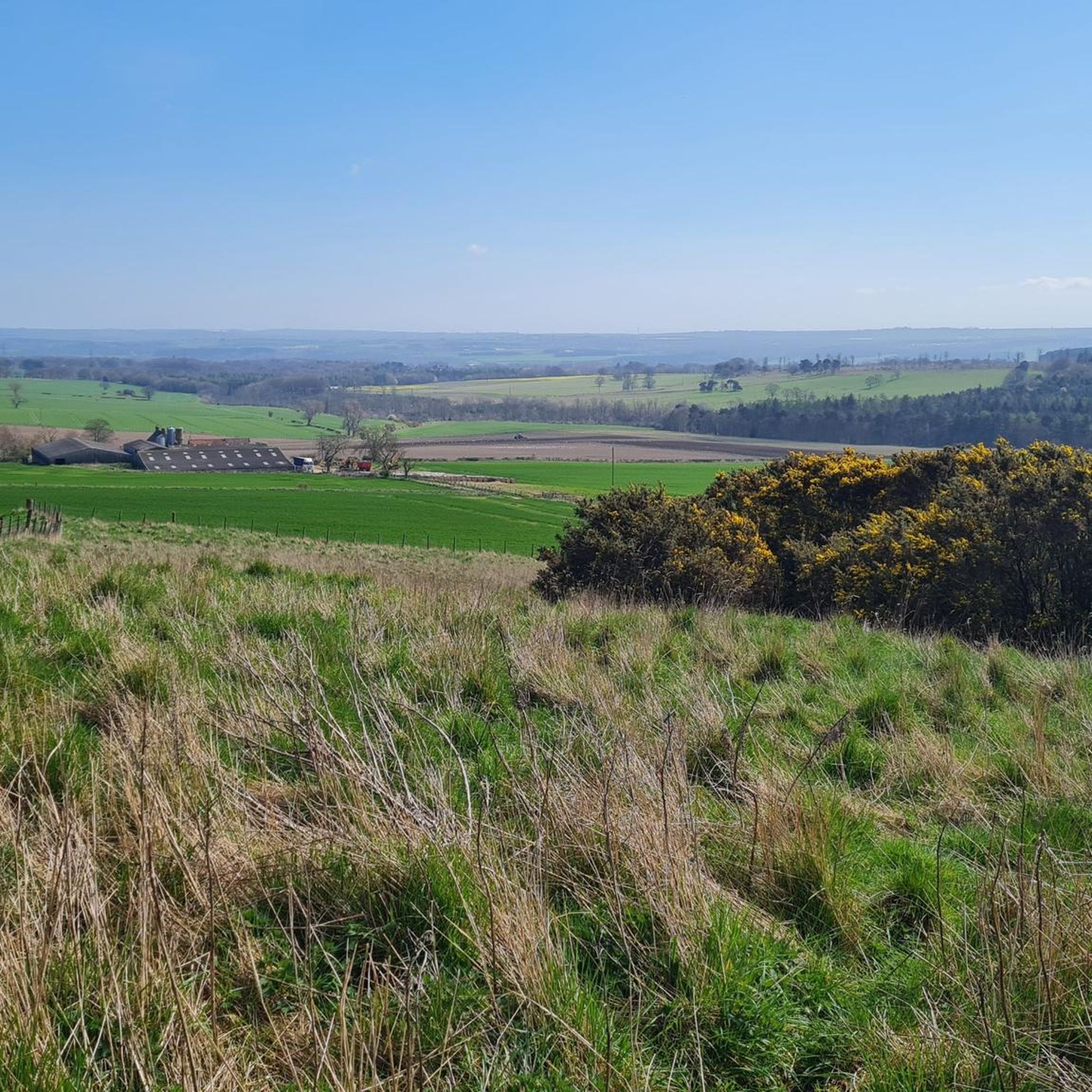
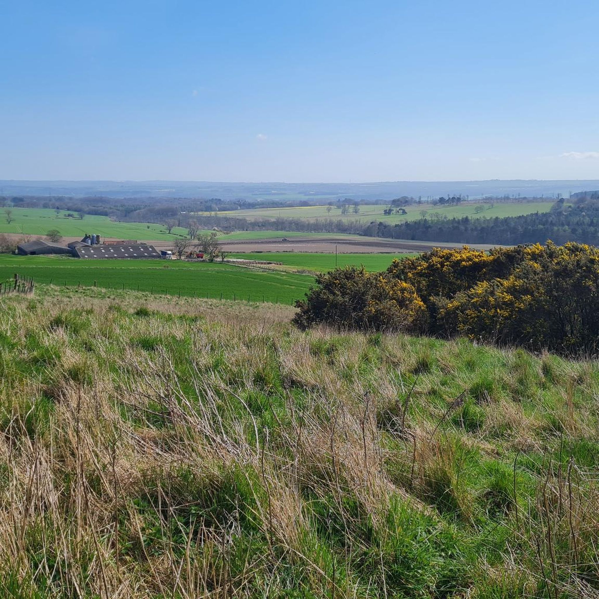
Fabulous view of the Pennines and a bench to stop and rest on the Deerness Valley Railway Path. This was a former single track branch line used to serve the coal mining industry in the area.
0
0

Willington is a former mining village which was hit hard by the closure of the colleries in 1967. It's now starting to thrive but is still a commuting village as there isn't much local industry or work. There are a few local shops so it's a good place for a mid ride snack stop. The NCN70 goes through the village on the route of the old railway line.
0
0

Frequently Asked Questions
How many hiking trails are there around Greater Willington?
There are over 370 hiking routes to explore around Greater Willington. These range from easy strolls to more demanding hikes, with the majority being easy or moderate, ensuring there's a trail for every ability level.
Are the trails around Greater Willington suitable for dogs?
Yes, many trails in the area are great for walking with a dog. Paths through woodlands like Low Burnhall and along former railway lines such as the Auckland Way are popular choices. However, always be mindful of local signage, especially near farmland with livestock or in nature reserves where dogs may need to be kept on a lead.
Are there any easy, family-friendly walks?
Certainly. For a short and accessible walk, the Oakenshaw Wildlife Sanctuary loop from Oakenshaw is an excellent choice. It's a relatively flat, 2-mile (3.1 km) trail that's perfect for a leisurely stroll with children.
What are some popular parks or nature reserves for walking?
The area has several highly-regarded spots.
Low Burnhall (Woodland Trust) is a local favorite, offering multiple trails through lovely woodlands with free, though limited, parking.
For wide-open spaces and beautiful views, especially when the heather is in bloom, Hedleyhope Fell Nature Reserve is a stunning option.
Closer to town, the Jubilee Nature area provides pleasant walks by the river.
Are there challenging hikes available in the region?
While most local trails are easy to moderate, more challenging hikes are just a short drive away. For a tougher experience with significant elevation, head west to the North Pennines Area of Outstanding Natural Beauty (AONB), which features rugged fells and dramatic dales.
Are most of the hikes circular loops?
Yes, many of the recommended hikes in the area are designed as circular loops, allowing you to start and finish in the same location without retracing your steps. For example, the Tree-Lined Riverside Walk loop from New Hunwick is a pleasant circular route that takes you through local woodland.
What kind of scenery can I expect on the trails?
The landscape is defined by its mix of natural and post-industrial features. Expect to see serene riverside paths along the River Wear, quiet woodlands, and flat, accessible trails along former railway lines. The region's geology creates a backdrop of gentle hills and valleys.
What do other hikers say about the trails in Greater Willington?
The trails are highly rated by the komoot community. Hikers often praise the variety of walks available, from peaceful riverside ambles to routes through reclaimed industrial landscapes. The accessibility of former railway paths like the Auckland Way is also frequently mentioned as a highlight.
Can I find any hikes with waterfalls?
The immediate trails around Greater Willington are more focused on river and woodland scenery rather than dramatic waterfalls. For significant waterfalls, you would need to travel to the nearby North Pennines, where you can find impressive falls like High Force and Low Force in Teesdale.
Is hiking possible in winter?
Yes, hiking is possible year-round. The flatter, well-surfaced former railway paths like the Start of Auckland Way loop from Byers Green are often the best options during wetter months as they are less prone to becoming excessively muddy. Always wear appropriate waterproof footwear and check conditions before you go.
What should I pack for a day hike in this area?
For a typical day hike, you should bring waterproof clothing as the weather can change quickly. Sturdy walking shoes or boots are essential, especially for woodland trails which can be muddy. Also, pack water, snacks, and a fully charged phone with a navigation app like komoot.
Where can I park for hikes near Greater Willington?
Many popular walking areas have dedicated parking. For example, Low Burnhall (Woodland Trust) and the Jubilee Nature area both offer free parking, though spaces can be limited during peak times. For specific trailheads, check the route details on komoot for parking suggestions.
Most popular routes around Greater Willington
Most popular attractions around Greater Willington

Get inspired with the komoot mobile app


Explore more
Browse the best Hikes in other regions.
