The best walks and hikes around Framwellgate Moor
4.5
(1424)
9,066
hikers
35
hikes
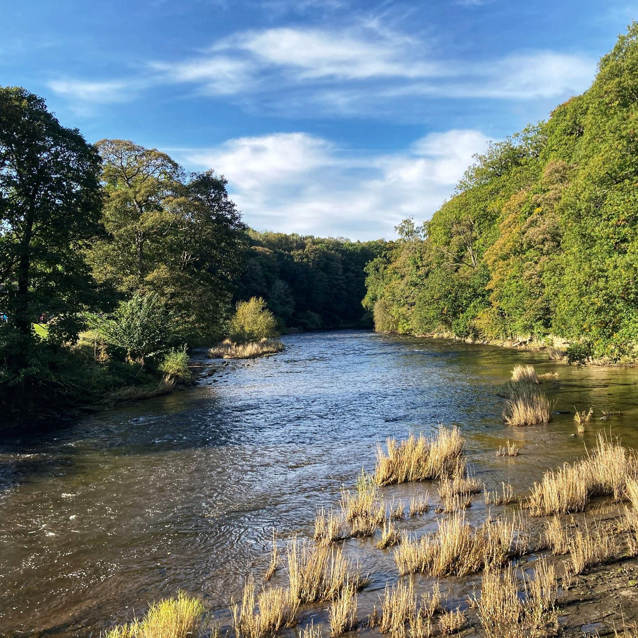
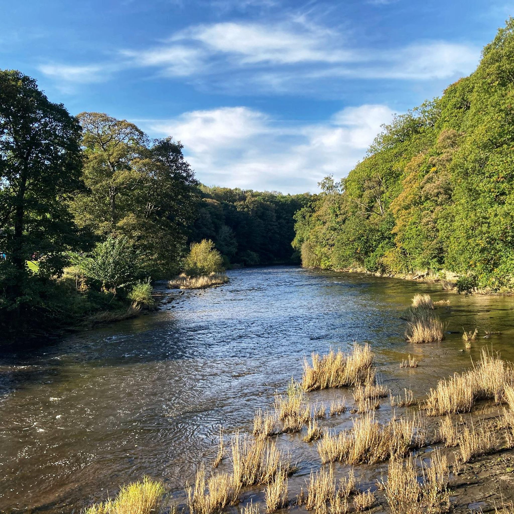
Hiking around Framwellgate Moor explores a landscape shaped by natural features and historical elements. The area features a network of paths through reclaimed nature reserves, alongside the scenic River Wear, and into peaceful woodlands. Many walking routes utilize former railway lines and wagonways, providing generally flat terrain with some moderate inclines. Notable natural features include Brasside Ponds SSSI and Pity Me Carrs nature reserve.
Best hiking trails around Framwellgate Moor
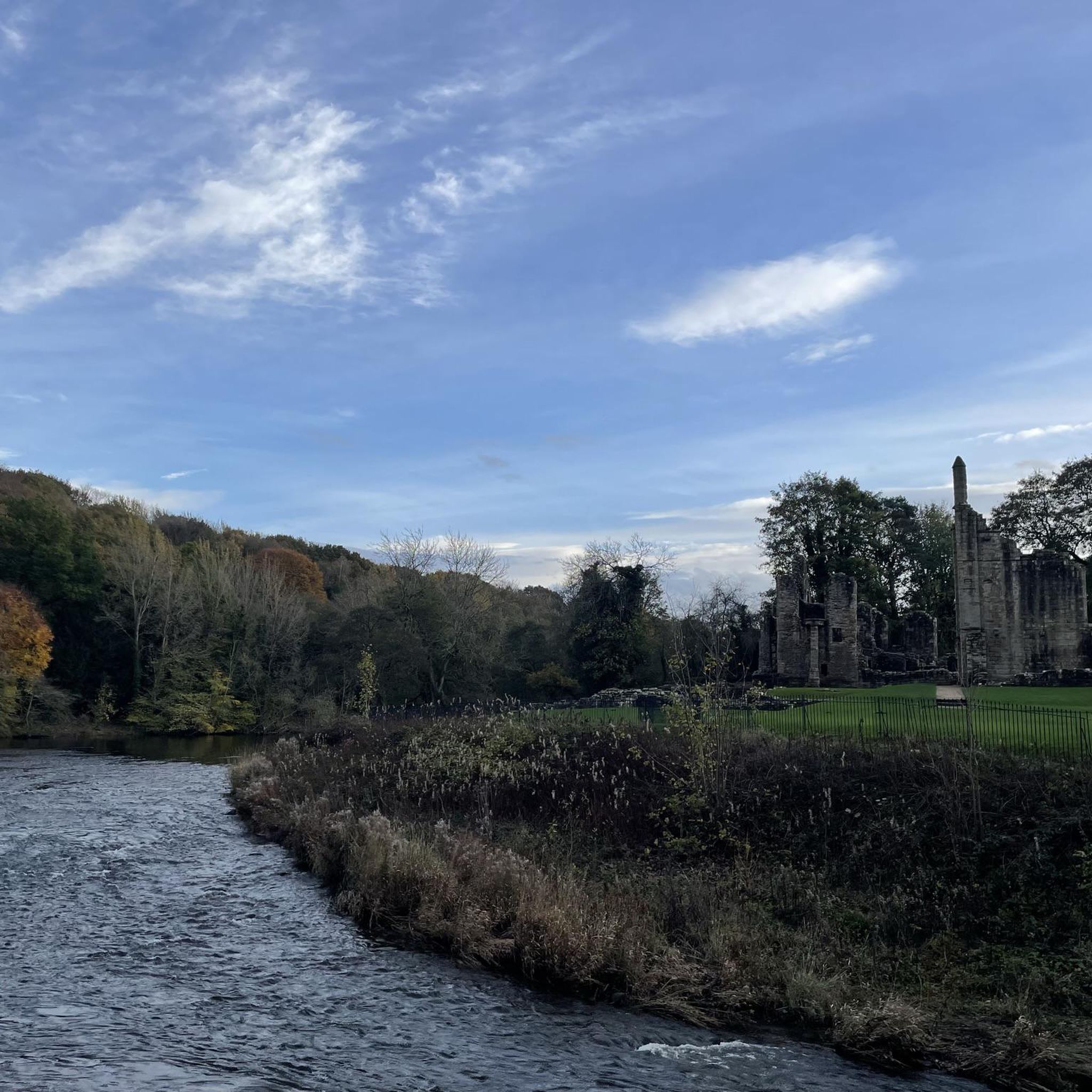
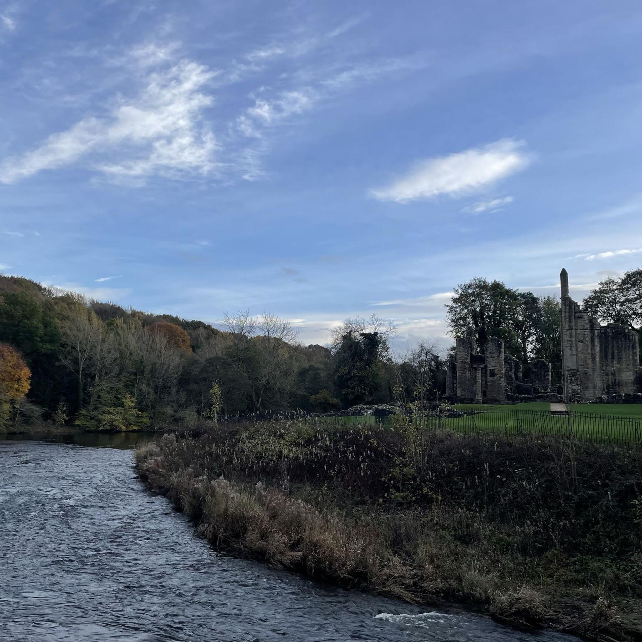
- The most popular hiking route is the Finchale Priory – Kepier Hospital Gatehouse loop from Brasside, a 9.6 miles (15.4 km) trail that takes around 4 hours to complete. This route follows the River Wear and connects the historic ruins of Finchale Priory with the Kepier Hospital Gatehouse.
- Another top favourite among local hikers is Millennium Square, Durham – The Station House loop from Framwellgate Moor, a moderate 4.9 miles (7.8 km) path. The trail offers views of Durham and follows sections of former railway lines.
- Local hikers also love the Finchale Priory – Lumley Castle loop from Brasside Ponds SSSI, a 12.8 miles (20.5 km) trail leading through riverside and woodland scenery, often completed in about 5 hours 20 minutes.
- Hiking around Framwellgate Moor is defined by riverside paths, reclaimed nature reserves, and trails along former railway lines. The network provides routes suitable for various fitness levels, from shorter local loops to longer, more challenging hikes.
- The routes in Framwellgate Moor are highly rated by the komoot community with an average score of 4.5 stars from over 1200 reviews. More than 8400 hikers have used komoot to explore Framwellgate Moor's varied terrain.
Last updated: August 29, 2026
5.0
(1)
28
hikers
Moderate hike. Good fitness required. Easily-accessible paths. Suitable for all skill levels.
4.8
(6)
16
hikers
25.9km
06:51
250m
250m
Hard hike. Very good fitness required. Easily-accessible paths. Suitable for all skill levels.

Sign up for free
20
hikers
14.4km
03:48
130m
130m
Moderate hike. Good fitness required. Easily-accessible paths. Suitable for all skill levels.
3.9
(9)
22
hikers
7.81km
02:06
100m
100m
Moderate hike. Good fitness required. Easily-accessible paths. Suitable for all skill levels.
12
hikers
4.81km
01:16
50m
50m
Easy hike. Great for any fitness level. Easily-accessible paths. Suitable for all skill levels.
Get access to more routes and recommendations from other explorers.
Sign up for free
Already have an account?
Our route recommendations are based on thousands of hikes, rides, and runs completed by other people on komoot.
Start today with a free account
Your next adventure awaits.
Login or Signup


Other adventures around Framwellgate Moor

Tips from the Community

From the 18th-century stone bridge, you can see Durham Cathedral and Castle on top of a rocky peninsula, wrapped by the River Wear.
0
0
The bandstand is located on the city's riverside sports grounds, an area commonly called the Racecourse.
0
0
The Durham Cow statue is situated on the riverside path at The Racecourse, between Baths Bridge and the bandstand.
0
0


nice easy parking, walk accross the bridge over the river and you can either walk left or right giving you two options to walk up or down the river. quite pleasant but can get a bit boggy when it rains so wear the correct footwear. does get busy in the warmer months
3
0

'Reveal' by Richard Cole is a conical column of irregularly textured stone with six shallow niches and a long narrow aperture at its centre. Constructed using centuries-old stone from the Cathedral's former turret, the sculpture was unveiled in 1997, standing under trees opposite the cathedral.
1
1
St Oswald's is an Anglican church in the centre of Durham.
0
0

We recommend a short walk along the river loop around the rock. Here you can see several bridges, including two bridges from the Middle Ages.
0
0
Frequently Asked Questions
Are there any easy, family-friendly walks near Framwellgate Moor?
Yes, the area is well-suited for family outings. Many paths, especially those along the River Wear and through local nature reserves like Pity Me Carrs, are relatively flat and accessible. The Millennium Square, Durham – The Station House loop from Framwellgate Moor is a great moderate option that isn't too long and offers city views.
Can I take my dog on the walking trails?
Most trails around Framwellgate Moor are dog-friendly, but it's always best to keep them on a lead, especially in nature reserves to protect wildlife and near farmland. Many former railway paths, like the Lanchester Valley Railway Path, are popular spots for dog walkers.
What are some good circular walks in the area?
The region has several excellent circular routes. For a substantial hike with historical sights, the The Count's House Folly – Old Durham Gardens loop from Newton Hall offers a varied experience. Many walkers also enjoy creating their own loops by combining paths through Cocken Woods and along the River Wear.
Where can I find information about the local nature reserves?
Framwellgate Moor is close to several nature reserves created from the area's industrial past. Pity Me Carrs is a quiet spot with ponds and heathland, perfect for spotting insects and birds. Low Newton Junction is known for its species-rich grassland and wildflowers. You can find official leaflets with maps for Pity Me Carrs and Low Newton Junction from the local council.
Are there any challenging, long-distance hikes available?
Yes, for those seeking a more demanding trek, the Finchale Priory – Lumley Castle loop from Brasside is a great choice. This 12.8-mile (20.5 km) route takes over 5 hours and rewards hikers with views of both the historic priory and the magnificent Lumley Castle.
What kind of scenery and wildlife can I expect to see?
The landscape is a unique mix of riverside paths, historic woodlands like Cocken Woods, and reclaimed green spaces. You'll see stunning views of Durham Cathedral and Castle from the riverbanks. In nature reserves like Pity Me Carrs and Low Newton Junction, you can spot wildflowers, butterflies, dragonflies, and various birds. Roe deer are also occasionally sighted.
What do other hikers enjoy most about the Framwellgate Moor area?
The area is highly regarded by the komoot community, with an average rating of 4.6 stars. Hikers often praise the variety of walks, from peaceful riverside strolls to routes exploring the region's industrial heritage. The excellent views of landmarks like Durham Cathedral and Finchale Priory are frequently mentioned as highlights.
How many hiking trails are there around Framwellgate Moor?
There are around 30 curated hiking routes to explore around Framwellgate Moor. These range from 14 easy walks perfect for a quick outing to 3 difficult trails for experienced hikers looking for a challenge.
What are some popular places for hiking near Framwellgate Moor?
Besides the specific routes, several larger parks and trails are local favorites for walking:
- Waldridge Fell Country Park: A highly-rated expanse of lowland heath with plenty of paths to explore.
- Low Burnhall (Woodland Trust): Popular for its well-maintained circular walk and interesting sculptures.
- Lanchester Valley Railway Path: A much-loved path for walking and cycling with beautiful scenery.
- Riverside walk: A top-rated, flat stroll through woods along the River Wear, offering fantastic views of the cathedral and castle.
Is it possible to reach the trailheads using public transport?
Yes, Framwellgate Moor's location on the edge of Durham means it is well-served by local bus routes. Many trails can be started from points within walking distance of bus stops in Framwellgate Moor, Pity Me, or Newton Hall, making it feasible to plan a hike without a car.
What are the parking options for hikes starting near Framwellgate Moor?
For walks starting in residential areas, on-street parking may be available, but be sure to check for any restrictions. For specific destinations, dedicated parking is often provided. For example, Waldridge Fell Country Park has a free car park, and there are various city-center car parks in Durham for accessing the riverside paths.
What is the terrain like on the trails?
The terrain is quite varied. Many routes follow former railway lines and wagonways, which are generally flat and well-surfaced. Riverside paths are also mostly level. Hikes that go through woodlands like Cocken Woods or climb for views of the cathedral will involve some moderate inclines and potentially muddy sections after rain.
Most popular routes around Framwellgate Moor
Most popular attractions around Framwellgate Moor

Get inspired with the komoot mobile app


Explore more
Browse the best Hikes in other regions.
