The best road cycling routes around Whitgreave
4.4
(78)
5,239
riders
446
rides
Road cycling routes around Whitgreave offer access to diverse terrain across Staffordshire. The region features quiet country lanes and canal networks, providing peaceful routes away from heavy traffic. Cyclists can find varied topography, from the elevated roads of the Staffordshire Moorlands to gentler, rolling hills and flatter areas. This allows for rides catering to various fitness levels.
Best road cycling routes around Whitgreave
- The most popular road cycling route is Victoria Sponge Cake at Café loop from Sir Graham Balfour…
Last updated: July 4, 2026
41
riders
41.7km
01:56
180m
180m
Easy road ride. Great for any fitness level. Mostly well-paved surfaces and easy to ride.
19
riders
27.3km
01:17
110m
110m
Moderate road ride. Great for any fitness level. Some segments of this route may be unpaved and difficult to ride.

Sign up for free
11
riders
20.6km
00:51
120m
120m
Easy road ride. Great for any fitness level. Mostly well-paved surfaces and easy to ride.
5.0
(1)
10
riders
21.7km
01:06
100m
100m
Moderate road ride. Great for any fitness level. Some segments of this route may be unpaved and difficult to ride.
9
riders
35.7km
01:37
200m
200m
Moderate road ride. Great for any fitness level. Some segments of this route may be unpaved and difficult to ride.
Get access to more routes and recommendations from other explorers.
Sign up for free
Already have an account?
Our route recommendations are based on thousands of hikes, rides, and runs completed by other people on komoot.
Start today with a free account
Your next adventure awaits.
Login or Signup

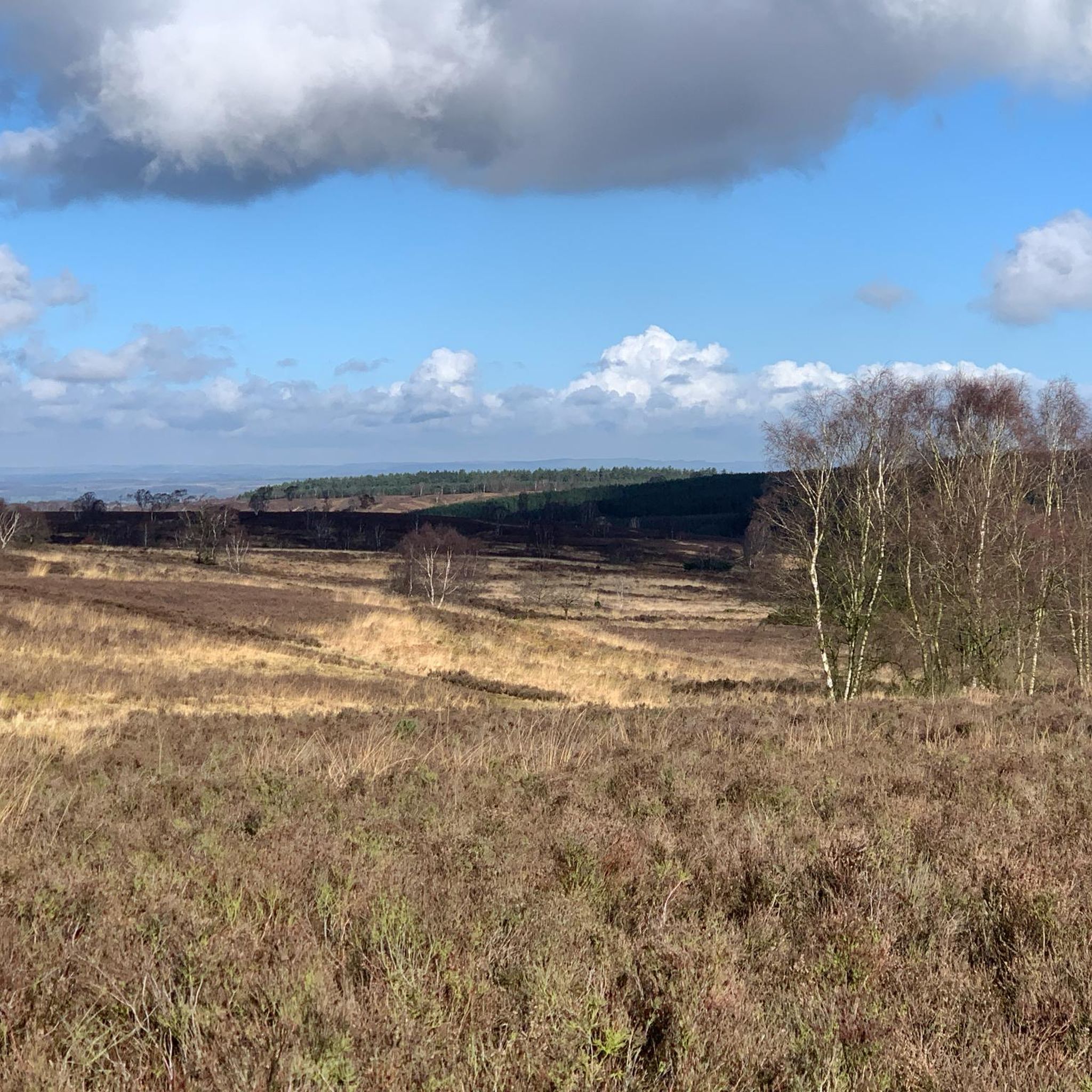

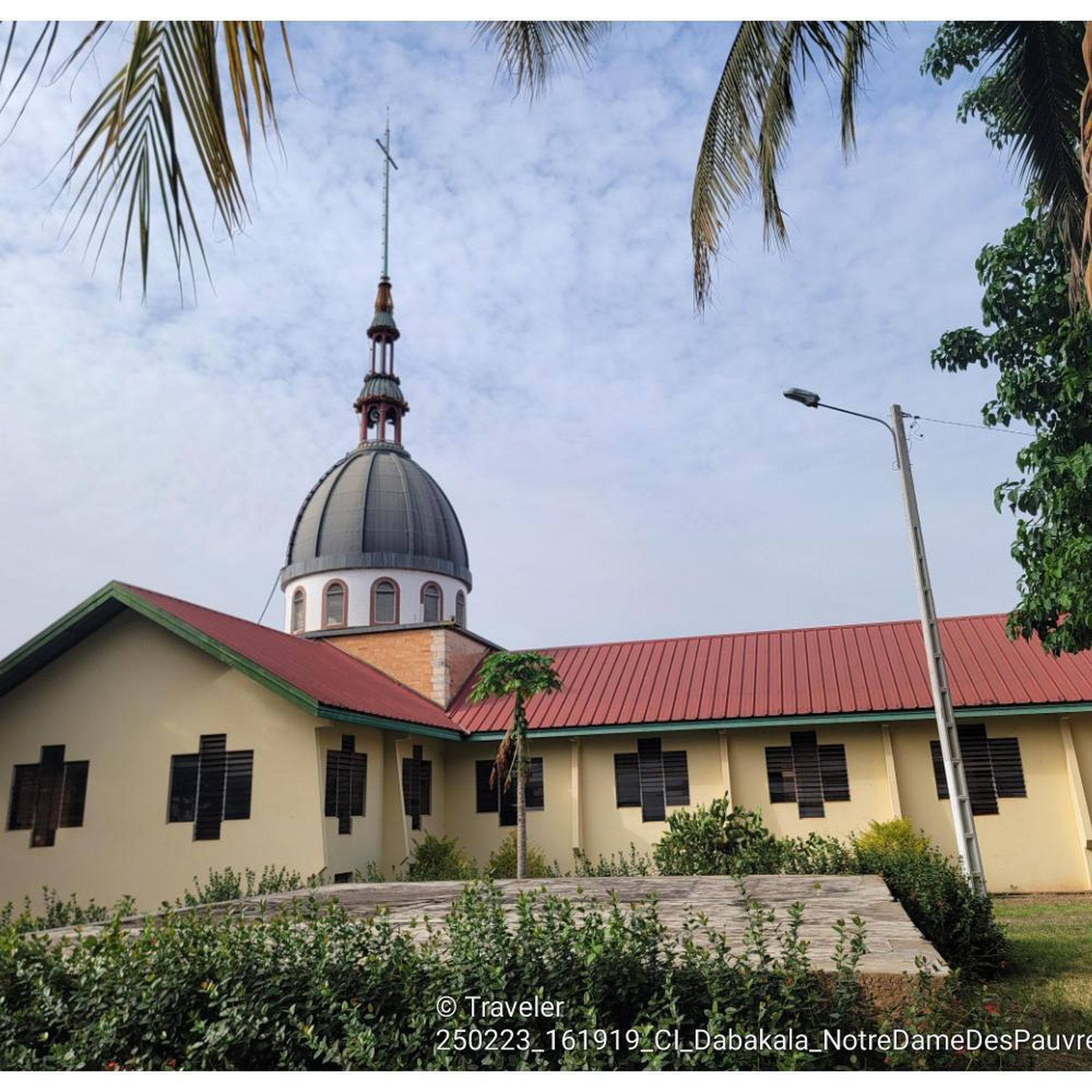
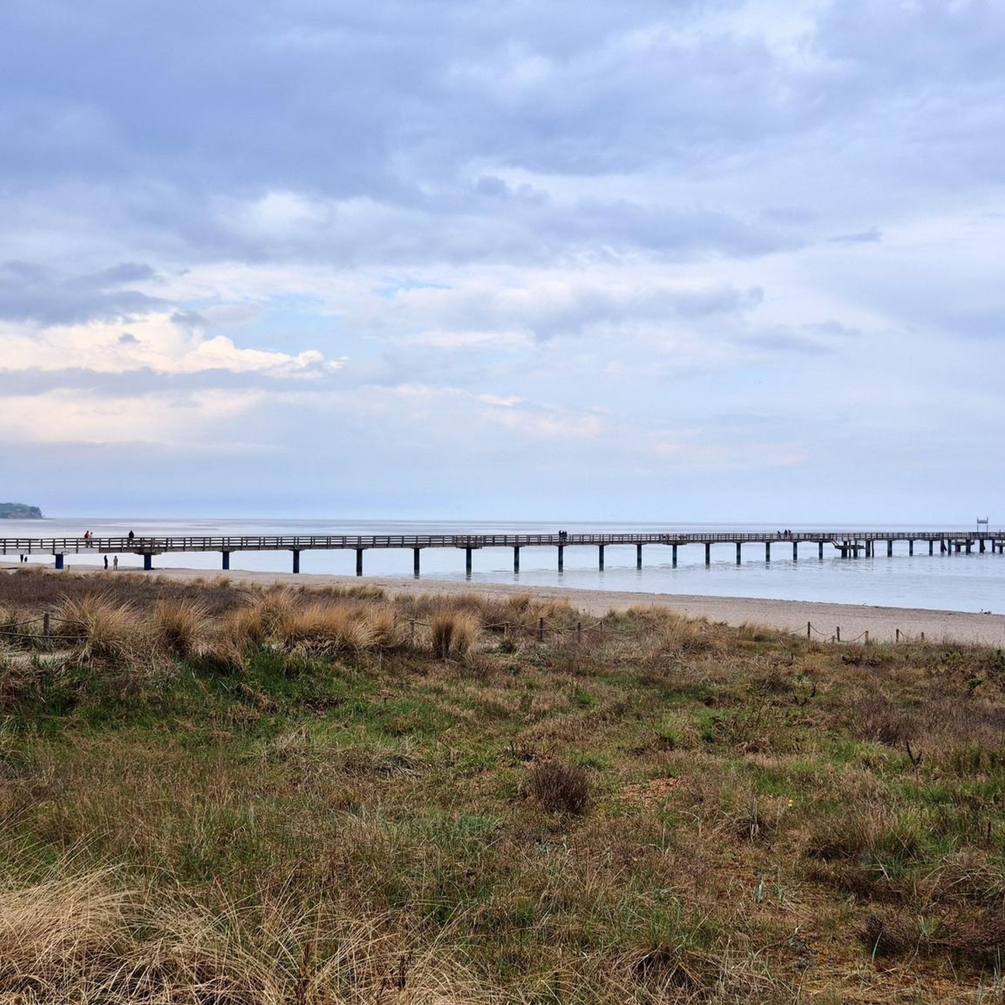
Tips from the Community

The Broad Eye Windmill is an historic windmill in the county town of Stafford, Staffordshire. The windmill is currently home to Windmill Broadcasting, and is looked after by the Friends of Broad Eye Windmill. https://en.m.wikipedia.org/wiki/Broad_Eye_Windmill
0
0

Situated near the Stafford Bridge along the Trent and Mersey Canal lies the charming village of Weston. For a refreshing pause during your hike, the Woolpack Inn awaits. Within the confines of Saint Andrew's Church, you'll discover two bells with rich histories: "Ave Maria," dating back to 1402, and "Ann Shaw," crafted in 1962. A third bell, "Katerina," from the year 1500, sadly rests cracked on the floor.
1
0

Wicked little cut through! Do-able on any bike - Watch out for Pedestrians - Use a Bell!
0
0

Such a good ride along canal, definitely not for road tires especially after rain
0
0

Essentially a vending machine that serves fresh buffalo or cow's milk from a local herd. You can add flavours (🍌🍓🍫), and there are usually cakes for sale too. You can purchase a reusable glass bottle, or bring your own. Fresh, local, sustainable. What's not to like? 🥛
1
0

Pump and tools available for use next to the bike parking at the coop. There was something on a poster about free drinks too but I missed that as had already been in and stocked up!
0
0
Frequently Asked Questions
What kind of terrain can I expect when road cycling around Whitgreave?
Road cycling around Whitgreave offers a diverse range of terrain across Staffordshire. You'll find quiet country lanes and extensive canal networks for peaceful rides away from heavy traffic. The region features everything from the elevated roads of the Staffordshire Moorlands in the north, which provide more challenging routes with significant elevation changes, to gentler, rolling hills and flatter areas to the southeast. This variety allows for rides catering to various fitness levels.
Are there road cycling routes suitable for beginners or those looking for an easier ride?
Yes, Whitgreave and the surrounding Staffordshire area offer numerous routes suitable for beginners or those seeking an easier ride. Many routes utilize the quiet country lanes and canal networks, which are generally flatter. For example, the Izaak Walton's Cottage – The Mill loop from Marston is an easy 12.8-mile trail with moderate elevation, perfect for a relaxed spin through the countryside.
Where can I find more challenging road cycling routes near Whitgreave?
For more challenging road cycling, head north towards the Staffordshire Moorlands and the Peak District. This area features significant elevation changes, including climbs with gradients up to 20% like Gun Hill. While specific routes from Whitgreave might not reach these exact points, the general direction offers more demanding terrain. The Royal Air Force Museum Cosford – Church Eaton Basin loop from Marston, though moderate, covers a longer distance of 48 miles with over 1,400 feet of elevation gain, providing a good challenge.
What natural features or scenic viewpoints can I discover on road cycling routes near Whitgreave?
The region around Whitgreave is rich in natural beauty. You can enjoy routes along the peaceful Trent & Mersey Canal and the Staffordshire & Worcestershire Canal. To the north, the Staffordshire Moorlands offer rugged outcrops like The Roaches with breathtaking panoramic views. Blithfield Reservoir provides scenic routes around its perimeter, and river valleys like the River Dove and River Churnet offer beautiful backdrops. You might also encounter viewpoints such as Downs Banks Millennium Viewpoint.
Are there any historical landmarks or points of interest along the road cycling routes?
Yes, several routes pass by interesting landmarks. The Broad Eye Windmill – Triangle Pool loop from Great Bridgeford features views of local landmarks like Broad Eye Windmill. You can also find routes near Izaak Walton's Cottage, a significant historical site. Other points of interest in the wider area include the Shugborough Estate and various charming villages connected by canal networks. You might also pass by structures like Workhouse Bridge.
Where can I park my car when starting a road cycling route in Whitgreave?
While specific parking facilities in Whitgreave itself are limited due to its small size, many road cycling routes start from nearby towns and villages that offer public parking. For example, routes often begin from locations like Sir Graham Balfour High School or Great Bridgeford, where you can typically find suitable parking. Always check local signage for parking restrictions and availability.
Is public transport an option for reaching road cycling routes around Whitgreave?
Public transport options directly to Whitgreave might be limited due to its rural location. However, you can often reach larger nearby towns like Stafford by train or bus, and then cycle from there to connect with routes in the Whitgreave area. For detailed public transport information, it's best to consult local bus and train schedules for Staffordshire.
What is the best time of year for road cycling in the Whitgreave area?
The best time for road cycling in the Whitgreave area, like much of Staffordshire, is typically from spring through early autumn (April to October). During these months, you can expect milder weather, longer daylight hours, and generally drier conditions, making for more pleasant rides. Summer offers the warmest temperatures, while spring and autumn provide beautiful scenery with blooming flowers or changing foliage.
Are there any circular road cycling routes available from Whitgreave?
Yes, many of the road cycling routes around Whitgreave are designed as circular loops, allowing you to start and finish in the same location. For instance, the Victoria Sponge Cake at Café loop from Sir Graham Balfour High School is a popular circular route. The extensive network of quiet country lanes and canal paths in Staffordshire lends itself well to creating diverse loop routes.
What do other road cyclists enjoy the most about road cycling in Whitgreave?
The road cycling routes around Whitgreave are highly rated by the komoot community, with an average score of 4.4 stars from over 60 reviews. Cyclists often praise the region for its quiet country lanes, varied terrain suitable for different abilities, and the scenic beauty of the Staffordshire countryside, including woodlands and river valleys. The presence of charming cafes and pubs along routes is also frequently appreciated.
Are there any long-distance road cycling routes near Whitgreave?
While Whitgreave itself is a small village, its location provides access to longer routes that explore more of Staffordshire. For example, the Royal Air Force Museum Cosford – Church Eaton Basin loop from Marston is a substantial 48-mile route. The extensive network of country roads and connections to areas like Cannock Chase and the Staffordshire Moorlands allow for combining routes to create longer, more extensive rides.
Can I find cafes or pubs along the road cycling routes for a break?
Yes, many road cycling routes in the Whitgreave area pass through or near charming villages and towns that offer cafes and pubs. These provide excellent opportunities for a break, refreshments, or a meal. The Victoria Sponge Cake at Café loop from Sir Graham Balfour High School even highlights a cafe stop. You might also find places like The Star Inn along some routes.
Most popular attractions around Whitgreave

Get inspired with the komoot mobile app


Explore more
Browse the best Road cycling routes in other regions.
