The best walks and hikes around Burntwood
4.6
(1008)
8,024
hikers
19
hikes
Hikes around Burntwood explore a landscape of country parks, lowland heath, and former industrial lands. The area is characterized by its accessible network of trails, many of which follow paths around reservoirs and through nature reserves. Most routes are on relatively flat terrain, making it a suitable destination for walkers of all abilities.
Best hiking trails around Burntwood
- The most popular hiking route is Chasewater Country Park loop, a 3.7 mile (6.0 km) trail that takes around 1 hour 32 minutes to complete. This route follows the perimeter of the reservoir within the country park.
- Another top favourite among local hiking enthusiasts is Norton Bog – Norton Lakeside loop from Prospect Village, a moderate 11.4 mile (18.3 km) path. The trail navigates through a mix of woodland and open areas around the Norton Bog nature reserve.
- Local hiking enthusiasts also love the Norton Lakeside – Chasewater Heaths Signal Box loop from Chasetown, a 3.3 mile (5.3 km) trail leading through Chasewater Country Park, often completed in about 1 hour 20 minutes.
- Hiking around Burntwood is defined by reservoir paths, lowland heath, and woodland trails. The network of walking trails in Burntwood offers routes suitable for different fitness levels.
- The routes in Burntwood are highly rated by the komoot community with an average score of 4.6 stars from over 700 reviews. More than 5,000 hikers have used komoot to explore Burntwood's varied terrain.
Last updated: August 18, 2026
4.6
(26)
88
hikers
6.02km
01:32
20m
20m
Easy hike. Great for any fitness level. Easily-accessible paths. Suitable for all skill levels.
5.0
(34)
542
hikers
Easy hike. Great for any fitness level. Easily-accessible paths. Suitable for all skill levels.

Sign up for free
4.9
(18)
328
hikers
Easy hike. Great for any fitness level. Easily-accessible paths. Suitable for all skill levels.
27
hikers
Easy hike. Great for any fitness level. Easily-accessible paths. Suitable for all skill levels.
5.0
(2)
23
hikers
Easy hike. Great for any fitness level. Easily-accessible paths. Suitable for all skill levels.
Get access to more routes and recommendations from other explorers.
Sign up for free
Already have an account?
Our route recommendations are based on thousands of hikes, rides, and runs completed by other people on komoot.
Start today with a free account
Your next adventure awaits.
Login or Signup

Tips from the Community

Woodland Trust site between Lichfield and Burntwood. Plenty of info on the Woodland Trust site https://www.woodlandtrust.org.uk/visiting-woods/woods/pipe-hall-farm/
0
0


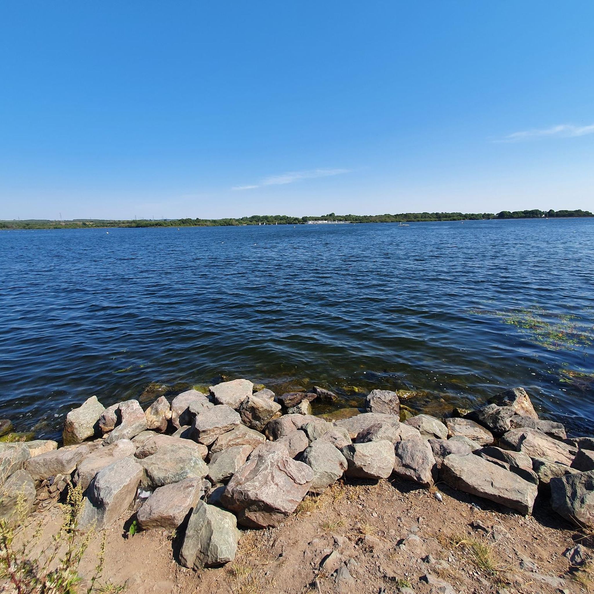
This cycleway runs along the eastern side of the lake, offering lovely views of the reservoir and country park. It’s a great spot to take a break, refuel, or enjoy a picnic.
1
0

An interesting Grade II listed structure, thought to date back to the 13th century. The conduit has been beautifully renovated by local stonemasons. Easy to miss from the top path, only the stairs and roof are visible so keep your eyes peeled!
0
0

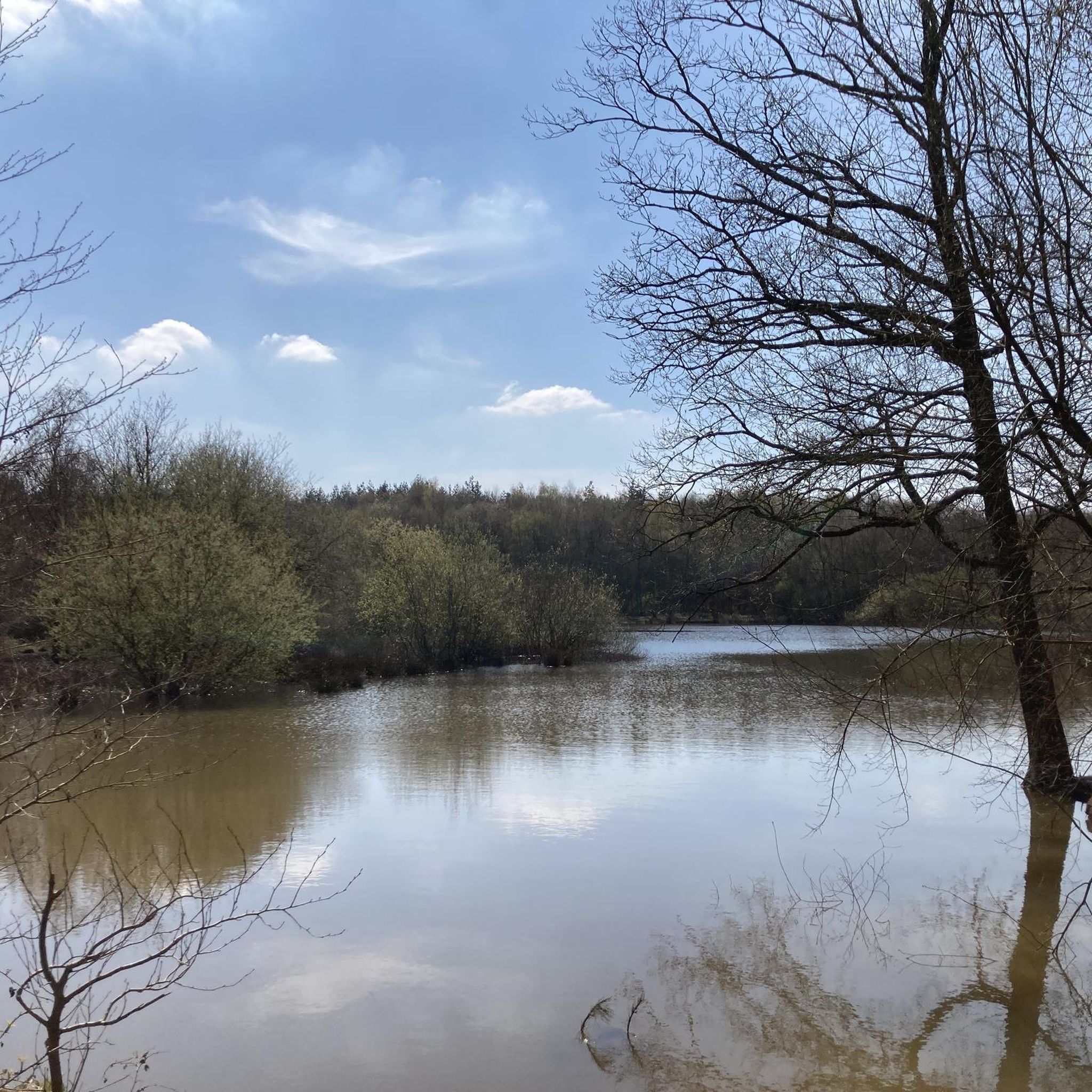
It's a great idea to extend your run around Chasewater to include Norton Bog - it's more attractive than the name might suggest! As you pass you might spot red deer, Tufted Duck, Coot and Little Grebe. Plenty of visiting birdlife throughout the seasons too.
1
0
A former colliery railway, now a heritage railway running round the shores of Chasewater. Chasewater Heaths station facilities include a cafe and a rebuilt signal box.
1
0
At 178m, this is a local High Point and affords great views over Chasewater Park.
1
0
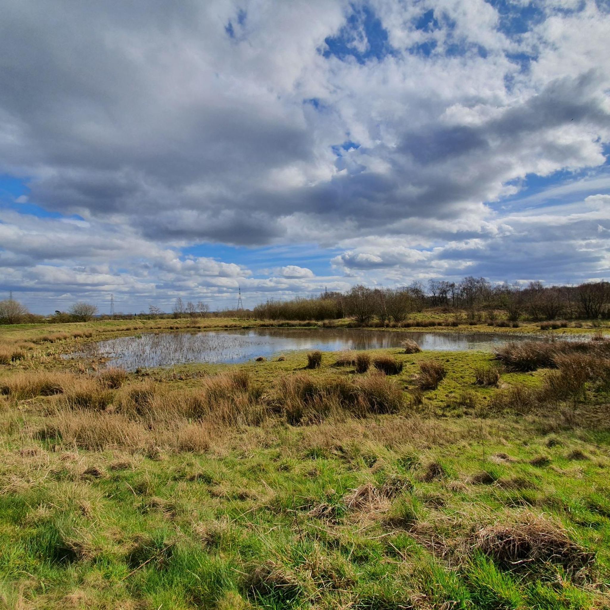
It's a great idea to extend your walk around Chasewater to include Norton Bog - it's more attractive than the name might suggest! Here you might spot red deer, Tufted Duck, Coot and Little Grebe. Plenty of visiting birdlife throughout the seasons too.
1
0
Frequently Asked Questions
What is the terrain like on the walking paths around Burntwood?
The terrain is generally gentle, making it accessible for most walkers. You'll find a mix of well-maintained paths around reservoirs like Chasewater, woodland trails, and open paths across the rare lowland heath of Gentleshaw Common. Most routes are relatively flat, though some trails heading towards Cannock Chase can offer more moderate inclines.
Are there many circular walks available?
Yes, many of the best walks in the area are circular. This allows you to start and end in the same place without retracing your steps. Besides the popular reservoir loops, you can find other great options like the Hiking loop from Burntwood, which offers a pleasant 3.4-mile (5.5 km) tour of the local landscape.
What are some good, easy walks for families?
The area is excellent for family outings, with over a dozen easy-rated trails. Chasewater Country Park is a top choice, offering flat, pushchair-friendly paths around the water. For a shorter, engaging walk, consider the Chasewater Heaths Signal Box loop from Chasewater Railway Museum, which is just 2.6 miles (4.2 km) and passes by the heritage railway.
Where are the best places for dog walking?
Burntwood is very dog-friendly. Pipe Hall Farm is a local favorite, known for its welcoming atmosphere where dogs can explore numerous routes. Gentleshaw Common is another excellent choice, offering wide-open spaces across a beautiful heathland nature preserve. Most trails in Chasewater Country Park also welcome dogs, but they should be kept under control, especially near wildlife.
Are there any hikes with particularly good views?
For expansive views, head towards Cannock Chase National Landscape. A walk to Castle Ring, an ancient Iron Age hill fort, provides panoramic vistas from the highest point in the area. Gentleshaw Common also offers stunning, wide-open scenery, especially in late summer when the heather is in full bloom.
What makes walking on Gentleshaw Common special?
Gentleshaw Common is a Site of Special Scientific Interest (SSSI) known for its globally rare lowland heath. Walking here offers a unique experience through a landscape of heather and bilberry. It's a fantastic spot for birdwatching and enjoying a sense of open space, with a network of paths that let you immerse yourself in this protected habitat.
How do I get to Cannock Chase from Burntwood?
Cannock Chase National Landscape is just a short drive from Burntwood. The main visitor hub, Birches Valley Forest Centre, is the most common starting point and has ample parking. You can also connect to the wider trail network on foot from areas like Gentleshaw Common if you're looking for a longer, more challenging hike.
What do other hikers enjoy about the trails in Burntwood?
The area is highly rated by the komoot community. Reviewers often praise the accessibility of the trails and the variety of scenery, from the waterside paths at Chasewater to the unique heathland of Gentleshaw Common. The well-maintained paths and the abundance of easy-to-follow circular routes are frequently highlighted as major positives.
Are there any longer, more challenging hikes?
Yes, while many routes are easy, there are options for those seeking more of a challenge. The Norton Bog – Norton Lakeside loop from Prospect Village is a great example, covering over 11 miles (18 km) through varied terrain including woodland and the Norton Bog nature reserve.
Can I use public transport to get to the trails?
Burntwood is served by local bus routes that can get you close to the main starting points for many walks, particularly those around the town itself and Chasewater Country Park. For trails further afield, such as those deep within Cannock Chase, driving is often more convenient. Some walkers also use the 'Slow Ways' network of paths to connect between towns like Burntwood and Lichfield.
Where can I find a good place to park for a walk?
Chasewater Country Park has several large car parks near its main activity centre and trailheads. For walks in Cannock Chase, the Birches Valley Forest Centre is the primary car park. Many smaller trailheads and nature reserves, like Gentleshaw Common, have their own informal parking areas, but these can fill up on sunny weekends.
Most popular routes around Burntwood
Most popular attractions around Burntwood

Get inspired with the komoot mobile app


Explore more
Browse the best Hikes in other regions.
