The best walks and hikes around Mayfield
4.5
(3808)
25,017
hikers
526
hikes
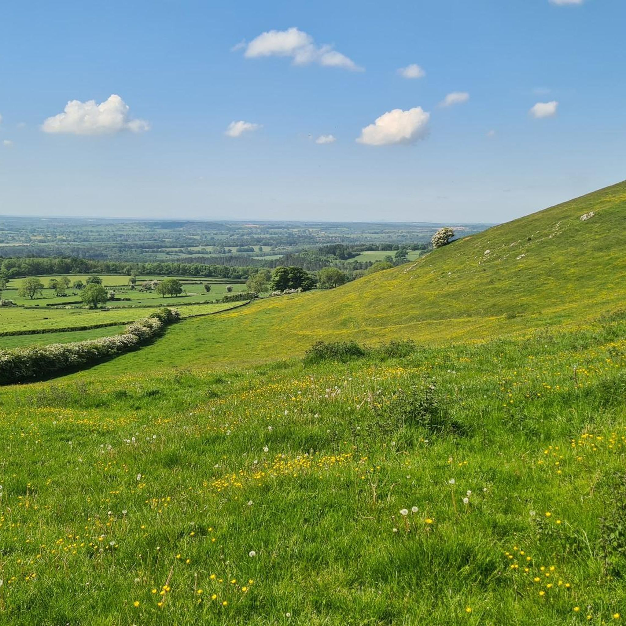
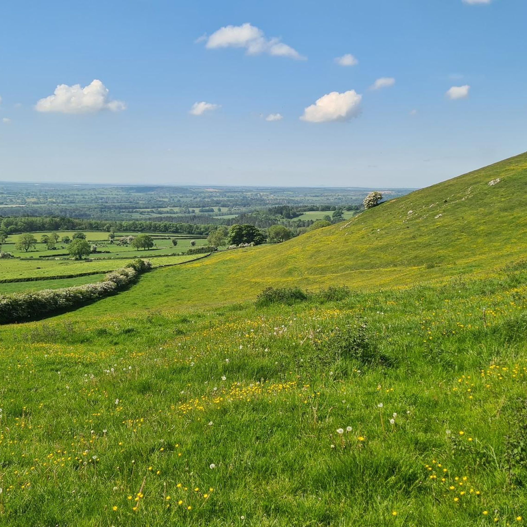
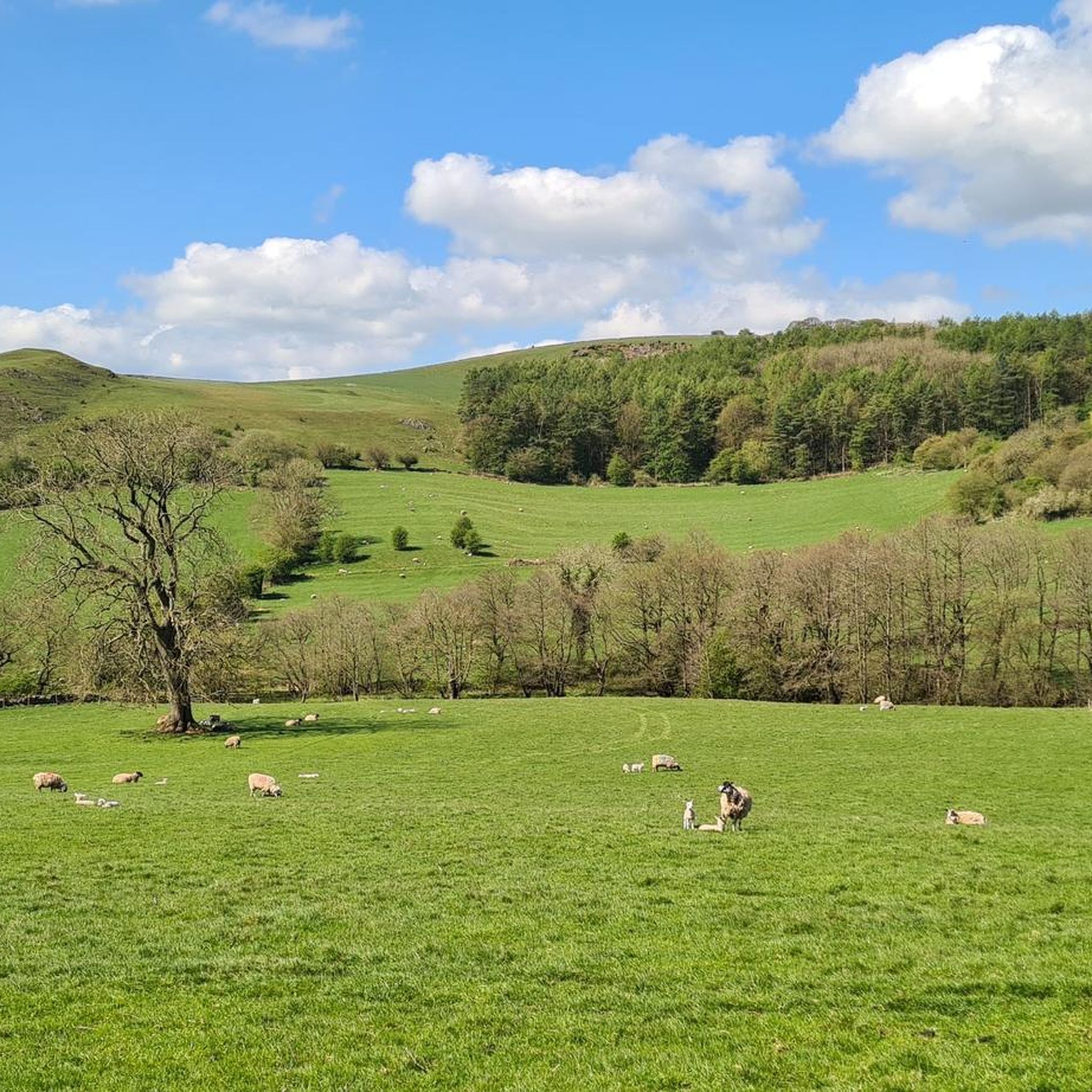
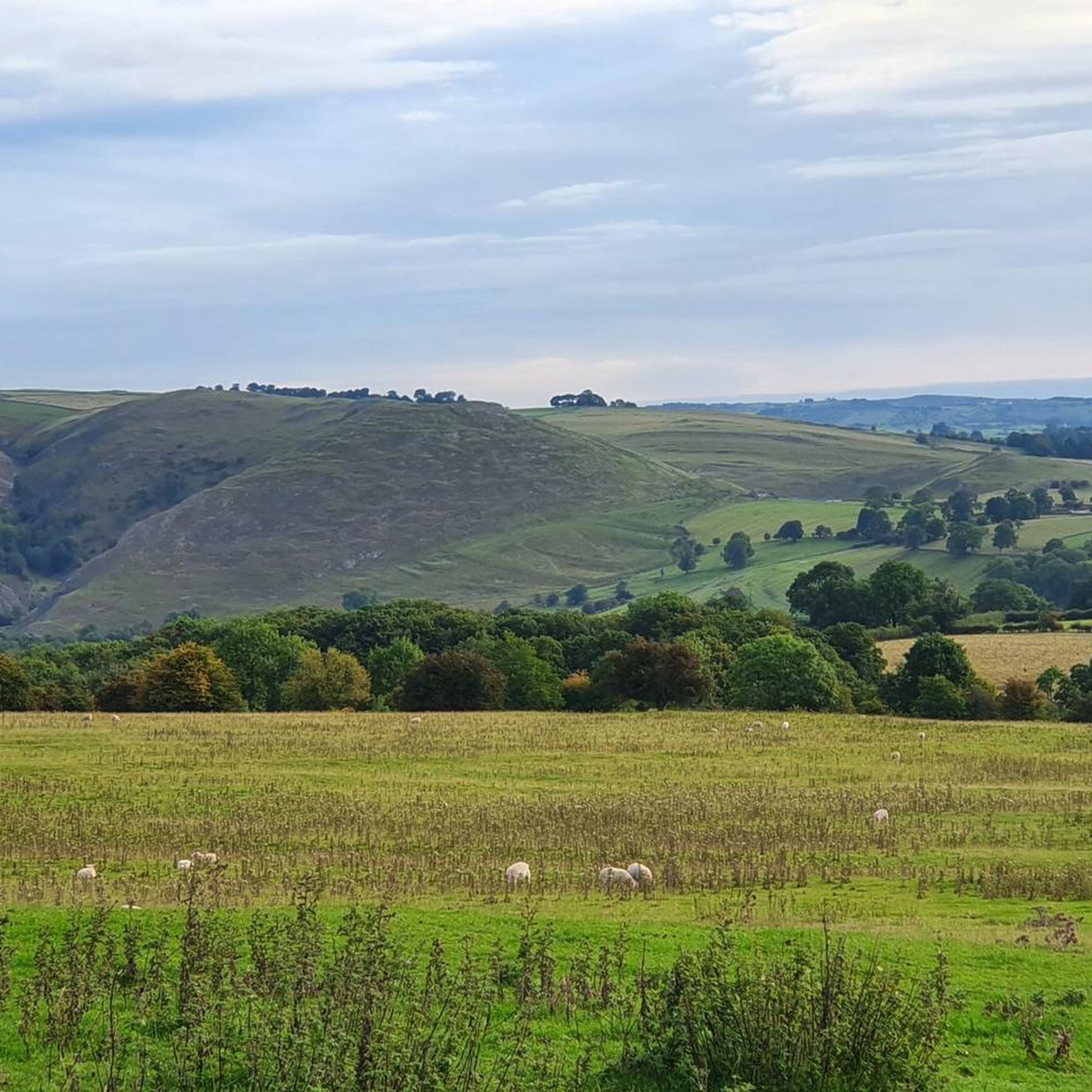
Hiking around Mayfield offers routes through the rolling countryside of the English Midlands. The landscape is characterized by gentle hills, paths along the River Dove, and trails that explore the area's rural heritage. The network of paths provides a variety of options for experiencing the region on foot.
Best hiking trails around Mayfield
- The most popular hiking route is Ashbourne Tunnel – Ashbourne Tunnel loop from Middle Mayfield, a 7.0 mile (11.3 km) trail that takes about 2 hours 59 minutes to complete. This moderate hike features a disused railway tunnel as a key point of interest.
- Another top favourite among local hiking enthusiasts is River Dove – Okeover Mill loop from Ashbourne CP, an easy 4.2 mile (6.7 km) path. The route follows the banks of the River Dove and is mostly flat.
- Local hiking enthusiasts also love the Stanton Wood Bluebell Path – Wellington LP397 Memorial loop from Mayfield, a 7.1 mile (11.5 km) trail leading through local woodlands, often completed in about 3 hours 7 minutes.
- Hiking around Mayfield is defined by riverside walks, woodland paths, and trails across open fields. The trail network offers both easy, flat routes and more moderate hikes with some elevation gain.
- The routes in Mayfield are highly rated by the komoot community with an average score of 4.5 stars from over 3,000 reviews. More than 21,000 hikers have used komoot to explore Mayfield's varied terrain.
Last updated: October 9, 2026
4.3
(4)
15
hikers
12.1km
03:12
120m
120m
Moderate hike. Good fitness required. Easily-accessible paths. Suitable for all skill levels.
4.0
(3)
10
hikers
6.71km
01:43
30m
30m
Easy hike. Great for any fitness level. Easily-accessible paths. Suitable for all skill levels.

9
hikers
7.25km
01:57
80m
90m
Easy hike. Great for any fitness level. Easily-accessible paths. Suitable for all skill levels.
4.0
(1)
6
hikers
6.37km
01:44
90m
90m
Easy hike. Great for any fitness level. Easily-accessible paths. Suitable for all skill levels.
5.0
(1)
9
hikers
Moderate hike. Good fitness required. Easily-accessible paths. Suitable for all skill levels.
Get access to more routes and recommendations from other explorers.
Already have an account?
Our route recommendations are based on thousands of hikes, rides, and runs completed by other people on komoot.
Start today with a free account
Your next adventure awaits.
Tips from the Community


Beautiful tunnel which is very photogenic from Ashbourne end
0
0

The Ashbourne Tunnel runs below the town of Ashbourne itself, and serves as the begining – or, alternatively, the ending – of the Tissington Trail: a 13-mile hike, much of which comprises of disused railway lines, connecting the towns of Ashbourne and Parsley Hay. Recently renovated with speakers that transmit authentic steam-powered engine noise, Ashbourne Tunnel is a highly evocative experience that is sure to transport visitors back to the age of industry. Ashbourne was first included in the North Staffordshire Railway line in 1852, as the trade of limestone grew around the town. At the end of the 19th century, this line was taken over by the London & South Western line, who were seeking a line south of Buxton, and connected Ashbourne to the junction at Parsley Hay. This saw the construction of the Ashbourne Tunnel, which was first opened in 1899.
0
0
Okeover Mill is a former water mill. Early C18 with later alterations and additions. Coursed limestone rubble with ashlar quoins and dressings, and red brick additions; clay tile roof; brick ridge stack.
0
0
Okeover Hall is a privately owned Grade II* listed country house in Okeover, Staffordshire, England. It is the family seat of the Okeover family, who have been in residence since the reign of William Rufus. The house lies close to the border between Staffordshire and Derbyshire, which lies on the far side of the small River Dove. The Hall is not open to the public.
0
0
St John the Baptist's Church is an Anglican church in the village of Mayfield, Staffordshire, England. It is a Grade I listed building. The core is a Norman church; it was extended in the early 14th century, and the tower built in 1515. There was a church in the village in Saxon times; the Domesday book, of 1086, recorded that there was a priest in the village, one of 25 recorded for Staffordshire. A simple rectangular stone building replaced the Saxon church about 1125. The south doorway (inside the later porch), with a well-preserved Norman arch, dates from this time. The nave, of three bays, is mainly Norman.
0
0
Mayfield Yarns is a synthetic yarn manufacturer based in Mayfield, Staffordshire, with over 80 years of experience in the industry. The company is located in the Mayfield Mill, which has a long history of textile production dating back to 1795. In 1795 A cotton mill was built on an industrial site but in 1806 a fire destroyed much of the mill. It was rebuilt with a cast iron framework and brick vaulted ceilings. Brothers Joseph and George Simpson rebuilt and enlarged the mill in 1866. Mr C.H. Cowlishaw, a solicitor from Uttoxeter, purchased the mill in 1932 but sold it again two years later to William Tatton & Co. of Leek, and manufacturing switched to silk. In 1980 Mayfield Yarns began manufacturing and supplying synthetic yarns in the mill.
0
0
The River Dove is the principal river of the southwestern Peak District, in the Midlands of England, and is around 45 miles (72 km) in length. It rises on Axe Edge Moor near Buxton and flows generally south to its confluence with the River Trent at Newton Solney. From there, its waters reach the North Sea via the Humber Estuary. For almost its entire course it forms the boundary between the counties of Staffordshire (to the west) and Derbyshire (to the east). The river meanders past Longnor and Hartington and cuts through a set of deep limestone gorges, Beresford Dale, Wolfscote Dale, Milldale and Dovedale
0
0
Frequently Asked Questions
Are there many hiking trails to choose from around Mayfield?
Yes, there are over 500 hiking trails around Mayfield. The selection is well-balanced, with a large number of easy and moderate routes, along with over 30 difficult trails for those seeking a greater challenge.
What do other hikers enjoy about the Mayfield area?
The region is highly rated by the komoot community, with thousands of reviews. Hikers frequently praise the variety of scenery, from peaceful walks along the River Dove to trails through quiet woodlands and rolling fields.
Are there any easy, family-friendly hikes near Mayfield?
Absolutely. A great option for a family outing is the Staffordshire County Boundary – River Dove Weir loop from Middle Mayfield. It's a relatively flat and straightforward walk that follows the river, making it suitable for hikers of all ages.
Can I take my dog on the trails around Mayfield?
Many trails in the Mayfield area are suitable for hiking with a dog. You'll often be walking through open countryside and along public footpaths where dogs are welcome. However, always be prepared to encounter livestock and keep your dog on a lead where required.
Are there any circular walks available?
Yes, the majority of popular routes around Mayfield are loops, allowing you to start and finish in the same place without retracing your steps. A good example of a moderate circular hike is the Mayfield Yarns Mill – River Dove at Mayfield loop from Ashbourne CP.
What is the terrain like for hiking in Mayfield?
The landscape is defined by the rolling countryside of the English Midlands. You can expect gentle hills, flat paths along the River Dove, trails through woodlands, and routes across open fields. The trail surfaces are typically a mix of dirt paths, grassy tracks, and country lanes.
How can I get to the trailheads using public transport?
The nearby town of Ashbourne serves as a good hub for accessing many trails. It has bus services connecting to surrounding villages and cities like Derby. From Ashbourne, you can often walk directly to the start of several popular routes.
Where can I park to go hiking near Mayfield?
For many routes, on-street parking in villages like Mayfield or Middle Mayfield is an option, but be sure to park considerately. The larger town of Ashbourne has several public car parks (CP) which are convenient starting points for hikes, especially those heading towards the River Dove.
What should I pack for a day hike in the Mayfield area?
Sturdy, waterproof footwear is essential as paths, especially near the river or across fields, can be muddy. It's also wise to bring waterproof clothing, as the weather can change quickly. Pack enough water and snacks for your journey, along with a fully charged phone for navigation.
When is the best time of year to hike around Mayfield?
Hiking is possible year-round, but spring and summer are particularly beautiful. In spring, you can see woodlands filled with bluebells, like on the Stanton Wood Bluebell Path – Wellington LP397 Memorial loop from Mayfield. Autumn offers rich colours, while winter walks can be crisp and quiet, though you should be prepared for muddier conditions.
Are there any interesting landmarks to see on the hikes?
Yes, the area has several points of interest. One of the most unique is the disused railway tunnel featured on the Ashbourne Tunnel – Ashbourne Tunnel loop from Middle Mayfield. You'll also find historic mills and weirs along the River Dove.
Are there any easy riverside walks?
The area is perfect for gentle riverside walks. A popular and mostly flat option is the River Dove – Okeover Mill loop from Ashbourne CP, which follows the scenic banks of the river and is ideal for a relaxed stroll.
Most popular routes around Mayfield
Most popular attractions around Mayfield

Get inspired with the komoot mobile app


Explore more
Browse the best Hikes in other regions.
