The best walks and hikes around Newton Mulgrave
4.5
(714)
5,485
hikers
218
hikes
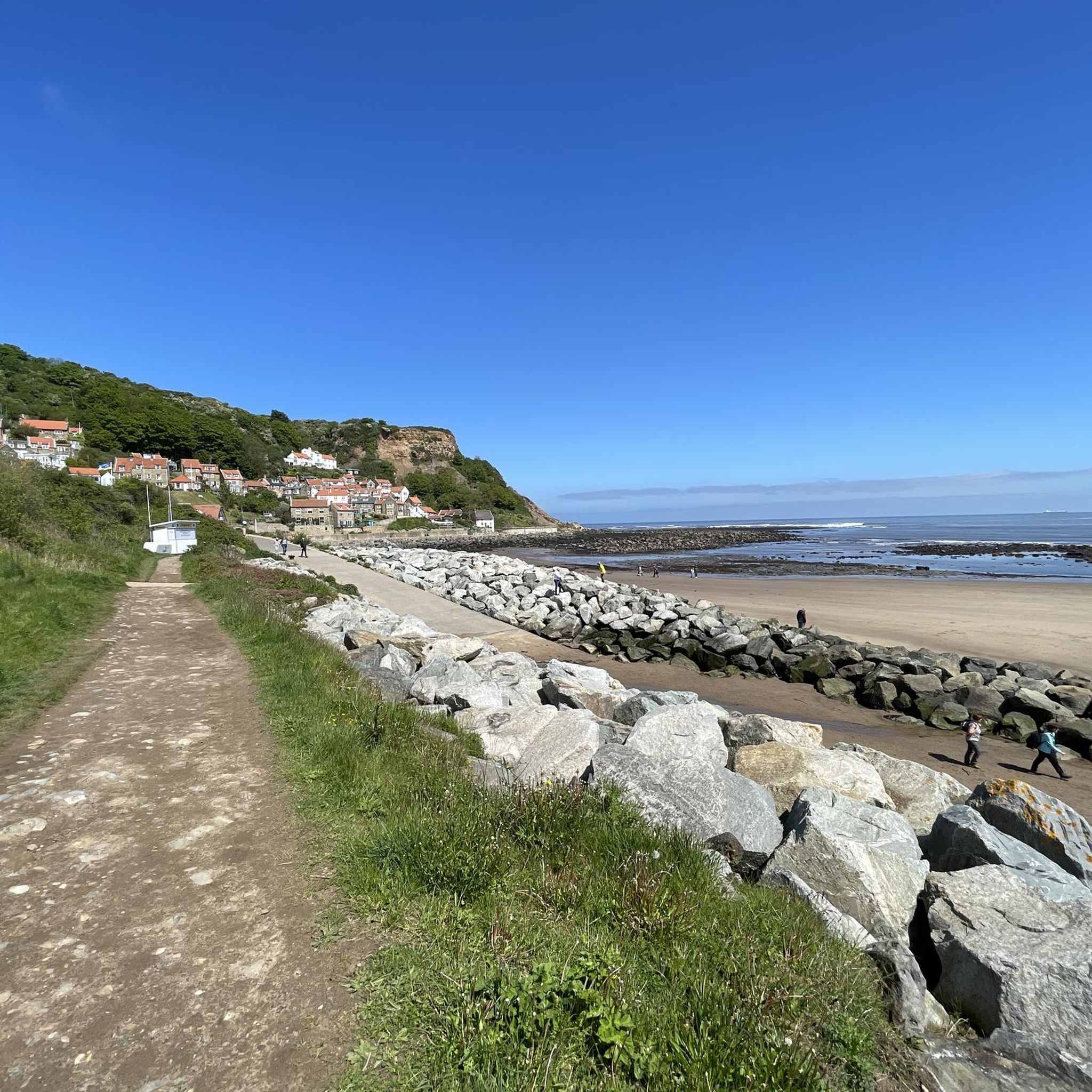
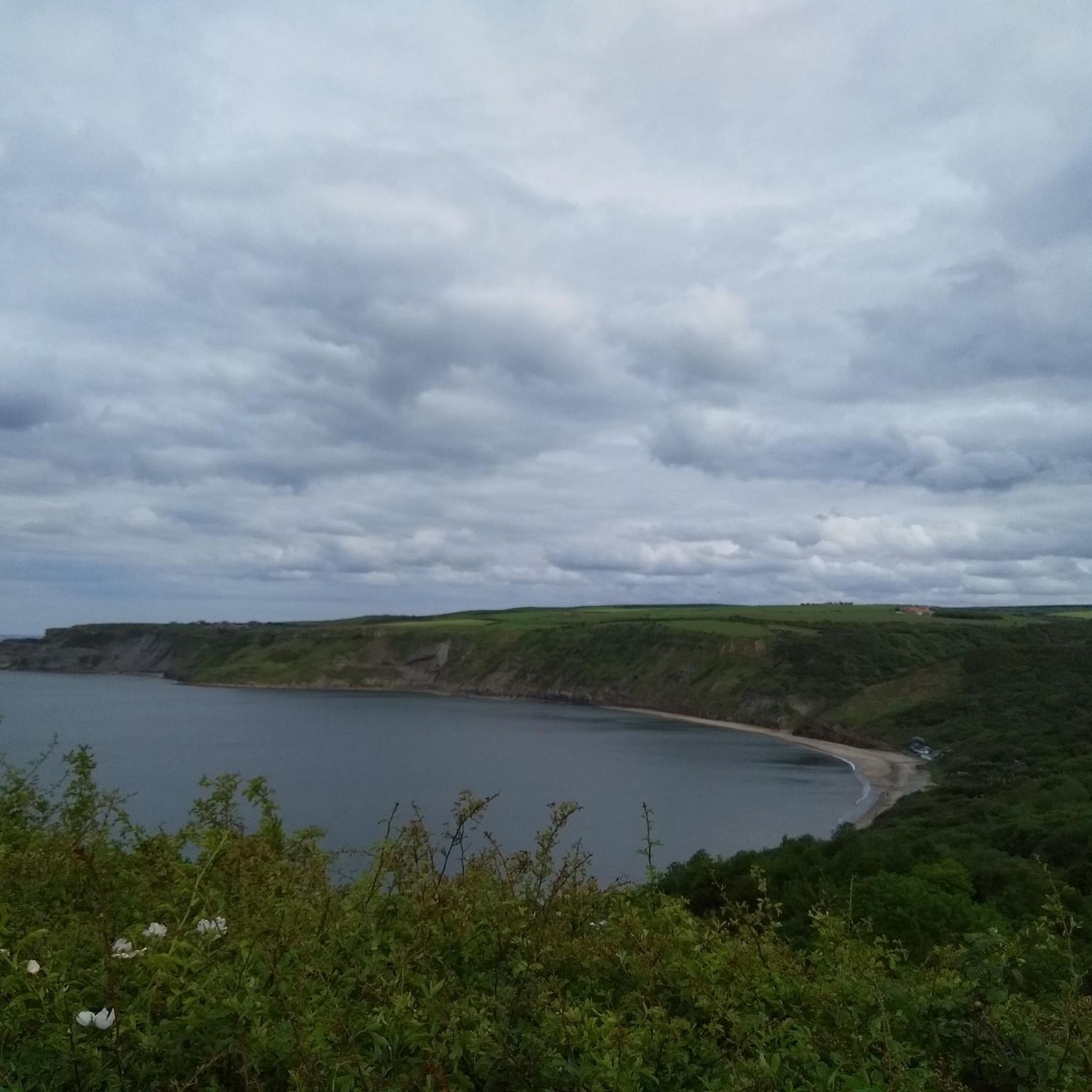
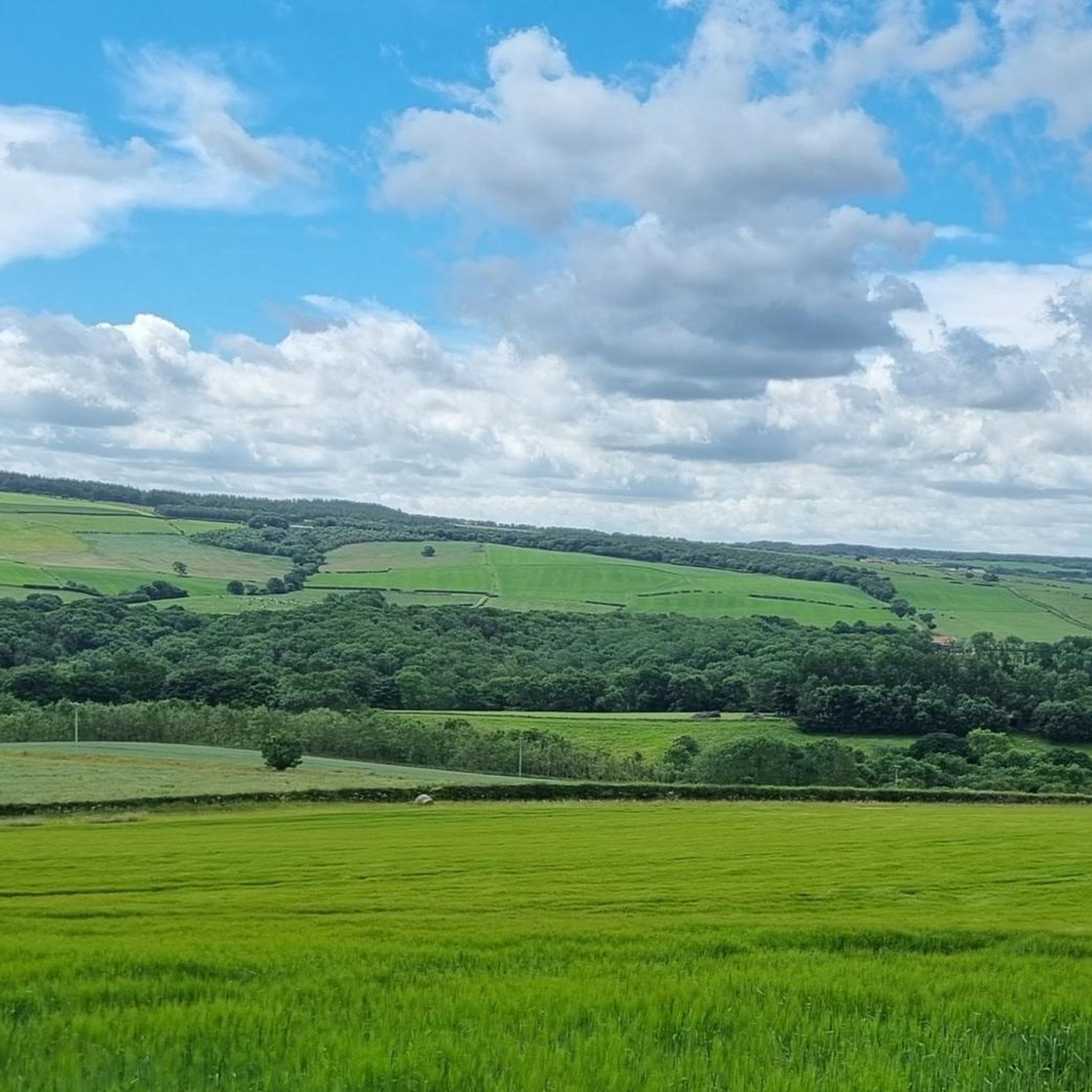
Hiking around Newton Mulgrave offers a variety of trails through coastal landscapes and inland areas. The region features paths along the North Sea coastline, connecting fishing villages and offering views of the sea. Further inland, routes traverse rolling hills and open moorland, characteristic of the North York Moors fringe. Elevation changes are generally moderate, with some steeper sections near the coast and in river valleys.
Best hiking trails around Newton Mulgrave
- The most popular hiking route is Keld Hill and…
Last updated: June 25, 2026
2
hikers
13.8km
03:48
230m
230m
Moderate hike. Good fitness required. Easily-accessible paths. Suitable for all skill levels.
4.9
(7)
32
hikers
Moderate hike. Good fitness required. Easily-accessible paths. Suitable for all skill levels.

Sign up for free
4.3
(3)
25
hikers
15.3km
04:18
290m
290m
Moderate hike. Good fitness required. Easily-accessible paths. Suitable for all skill levels.
3.0
(1)
4
hikers
9.53km
02:32
100m
100m
Moderate hike. Good fitness required. Easily-accessible paths. Suitable for all skill levels.
4.5
(2)
6
hikers
10.1km
02:47
180m
180m
Moderate hike. Good fitness required. Easily-accessible paths. Suitable for all skill levels.
Get access to more routes and recommendations from other explorers.
Sign up for free
Already have an account?
Our route recommendations are based on thousands of hikes, rides, and runs completed by other people on komoot.
Start today with a free account
Your next adventure awaits.
Login or Signup
Tips from the Community

Epic gravel track with fantastic moorland views. If you're coming west to east then you're starting on a pretty steep climb, but the views are worth the effort. Coming from east to west, prepare for a steep descent at the end of the track.
0
0

Stump Cross is likely an iron or bronze age standing stone, sometimes described as a menhir and consistent with other ancient monuments in the area. These were variously used as boundary markers, waymarkers or served as ceremonial sites. One of several stump crosses on the moors and the name is thought to derive from a later Christian reinterpretation, where prehistoric stones were sometimes rebranded as “crosses” to try and eradicate pagan associations.
1
0
Black Dike Moor is best known for its prehistoric pit alignment, a linear series of shallow depressions cut into the moor. These pits are subtle and hard to spot, often marked by changes in vegetation, ferns grow here instead of the usual bracken. Such alignments are thought to date from the Bronze Age or Iron Age, possibly serving as boundary markers, ritual sites, or territorial divisions. Paths are quite easy to follow across the moor and within a few kilometres are standing stones, barrows, and cairns, including Three Howes Rigg, Brown Rigg Howe, and the Nan Stone.
1
0

lovely quaint little village. stopped for a bacon & egg sarnie which was really nice from the Cobblers just across the bridge.
0
0

Very pretty and very quiet woodland. Some steep ups and downs so you need to be steady on your feet. Great for giving the dogs legs a bit of a stretch if you don't want to go too far.
0
0

This section is only suitable for gravel bikes
0
0

Open at the civilised hour of 10am, where they will serve you a Black Sheep. Or a Landlord. Or a Coffee.
0
0
Frequently Asked Questions
How many hiking trails are available around Newton Mulgrave?
There are over 200 hiking routes around Newton Mulgrave, offering a wide variety of options for different skill levels and preferences. You'll find everything from easy strolls to more challenging moderate hikes.
Are there easy hiking trails suitable for beginners or families in Newton Mulgrave?
Yes, Newton Mulgrave offers approximately 80 easy hiking trails. These routes are generally shorter with less elevation gain, making them ideal for beginners or families looking for a relaxed outdoor experience. Many paths traverse fields and quiet lanes, providing gentle terrain.
Can I find circular walks in the Newton Mulgrave area?
Yes, many of the trails around Newton Mulgrave are circular, allowing you to start and end your hike in the same location. For example, the Keld Hill and Ridge Lane loop from Hinderwell is a popular circular route offering varied terrain.
What kind of landscapes can I expect to see on hikes around Newton Mulgrave?
Hiking around Newton Mulgrave features diverse landscapes, including stunning coastal paths with views of the North Sea, charming historic fishing villages like Staithes, and inland routes that traverse rolling hills and open moorland characteristic of the North York Moors fringe.
Are there any waterfalls or natural monuments to discover on the trails?
Yes, the region has several natural attractions. You might discover highlights such as the Waterfall Near Beck Hole or the dramatic coastal feature of Old Nab. These add an extra element of interest to your hike.
What are some interesting historical sites or landmarks near the hiking routes?
The area is rich in history. You can explore the picturesque Staithes Fishing Village, visit St. Hilda's Church and Holy Well, or see the historic Beggar's Bridge. Many trails pass by or lead to these points of interest.
What do other hikers say about the trails in Newton Mulgrave?
The trails in Newton Mulgrave are highly regarded by the komoot community, with an average rating of 4.5 stars from over 650 reviews. Hikers frequently praise the diverse scenery, from coastal views to peaceful moorland, and the well-maintained paths.
Are there any routes that offer views of Staithes Harbour?
Absolutely. The View of Staithes Harbour – View of Port Mulgrave loop from Staithes is a fantastic option, leading you through coastal cliffs and village paths with excellent vantage points of the harbour. Another great choice is the Staithes Fishing Village – Staithes Village and Harbour loop from Hinderwell.
What is the typical duration for a moderate hike in this region?
Moderate hikes in Newton Mulgrave can vary, but many popular routes, such as the Keld Hill and Ridge Lane loop from Hinderwell, take around 3 to 4 hours to complete. Shorter moderate options, like the Staithes Fishing Village – Staithes Village and Harbour loop from Hinderwell, can be done in about 2.5 hours.
Are there any trails that explore the moorland areas?
Yes, some routes venture further inland into the moorland fringes. For example, the Stump Cross – Lealholm Moor Gravel Track loop from Roxby offers a taste of the open moorland landscape, providing a different experience from the coastal paths.
What is the best time of year to go hiking in Newton Mulgrave?
The hiking season in Newton Mulgrave generally extends from spring through autumn, offering pleasant temperatures and vibrant scenery. Coastal paths can be enjoyed year-round, but be prepared for potentially stronger winds and changeable weather during winter months.
Most popular attractions around Newton Mulgrave

Get inspired with the komoot mobile app


Explore more
Browse the best Hikes in other regions.
