Darncombe-Cum-Langdale End
Darncombe-Cum-Langdale End
The best road cycling routes around Darncombe-Cum-Langdale End
4.4
(30)
960
riders
54
rides
Road cycling routes around Darncombe-Cum-Langdale End traverse a landscape characterized by rolling hills and rural roads, offering varied terrain for cyclists. The region features a mix of open countryside and wooded sections, providing diverse backdrops for rides. Elevations are generally moderate, with some routes including more significant climbs.
Best road cycling routes around Darncombe-Cum-Langdale End
- The most popular road cycling route is Ravenscar Station (disused) – View of Robin Hood's Bay loop from Harwood Dale, a 23.0 miles (37.0…
Last updated: October 11, 2026
11
riders
Moderate road ride. Good fitness required. Mostly well-paved surfaces and easy to ride.
10
riders
22.4km
01:19
350m
350m
Moderate road ride. Good fitness required. Mostly well-paved surfaces and easy to ride.

9
riders
105km
05:24
1,090m
1,090m
Hard road ride. Very good fitness required. Some segments of this route may be unpaved and difficult to ride.
5
riders
14.8km
00:50
190m
190m
Moderate road ride. Great for any fitness level. Some segments of this route may be unpaved and difficult to ride.
4
riders
106km
05:15
1,160m
1,160m
Hard road ride. Very good fitness required. Some segments of this route may be unpaved and difficult to ride.
Get access to more routes and recommendations from other explorers.
Already have an account?
Our route recommendations are based on thousands of hikes, rides, and runs completed by other people on komoot.
Start today with a free account
Your next adventure awaits.
Popular around Darncombe-Cum-Langdale End
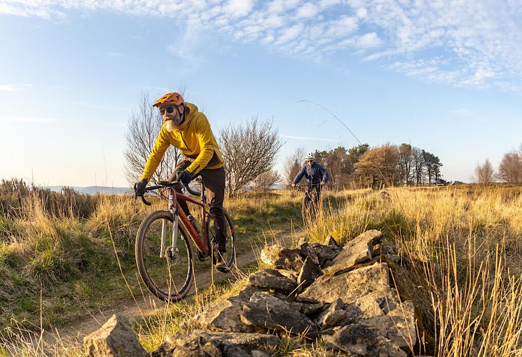
North York Moors Gravel and Explorer Routes
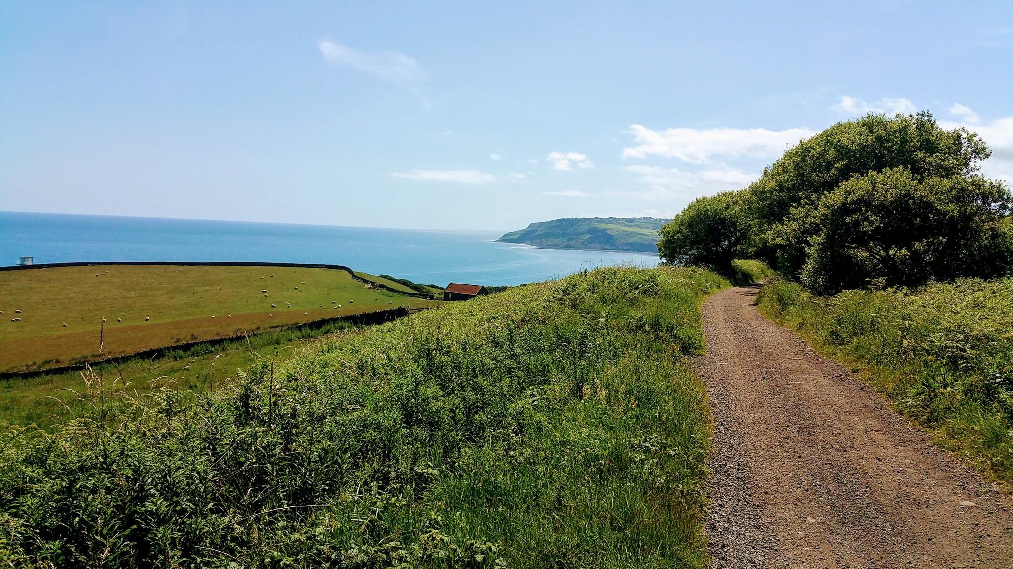
Gravel Cycling in North York Moors National Park
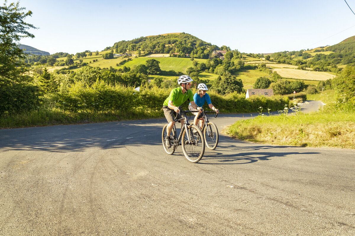
North York Moors National Park Cycle Routes
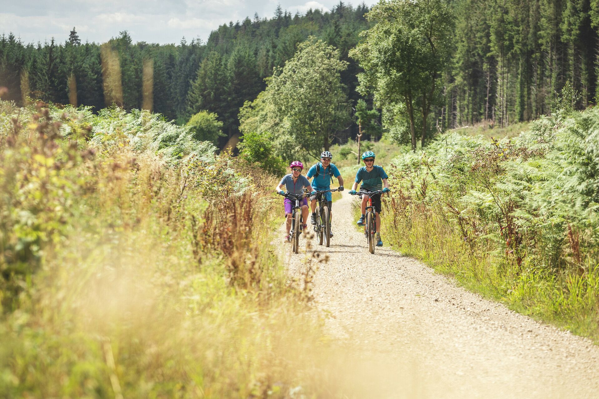
Moor to Sea – exploring the North York Moors National Park
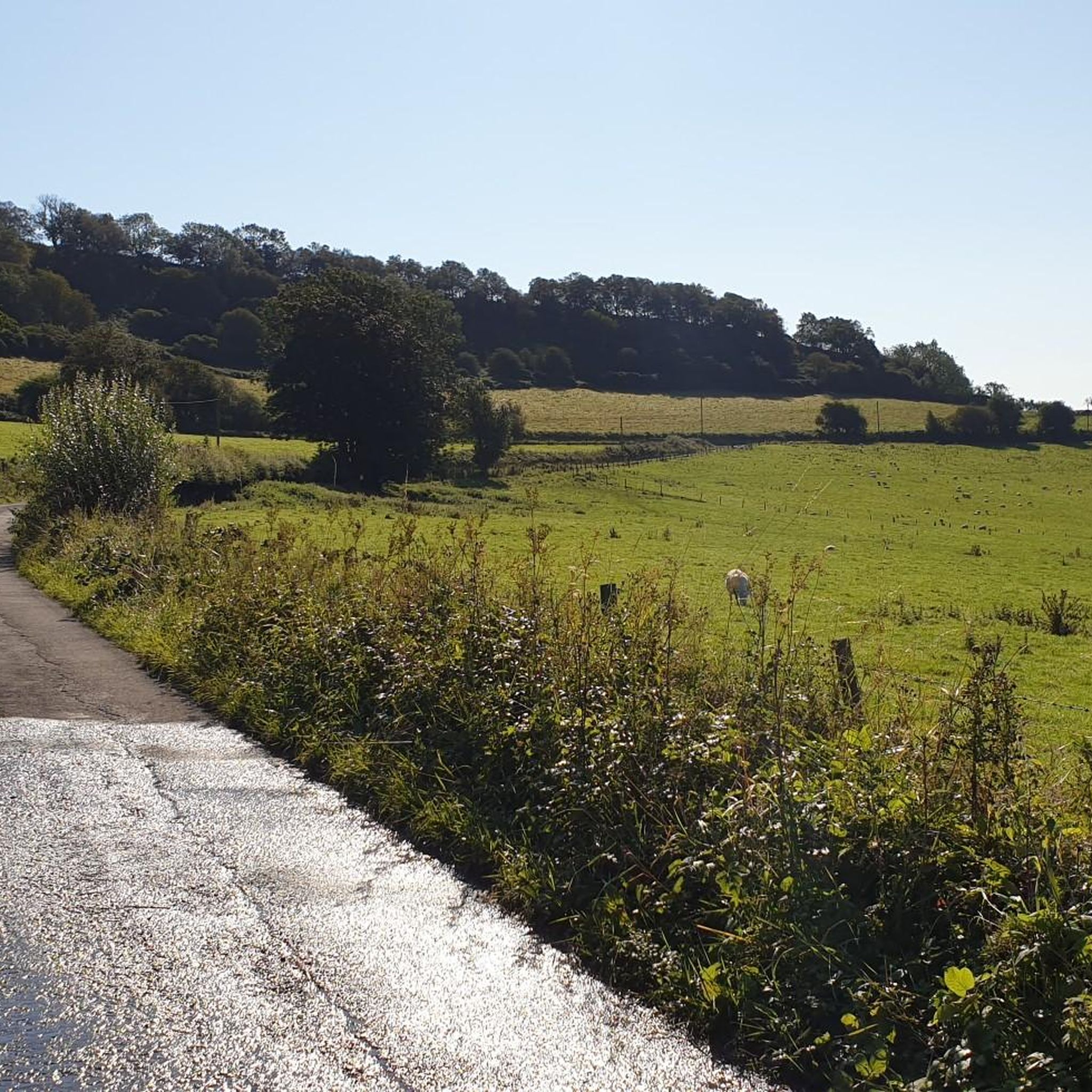
Cycling around Darncombe-Cum-Langdale End
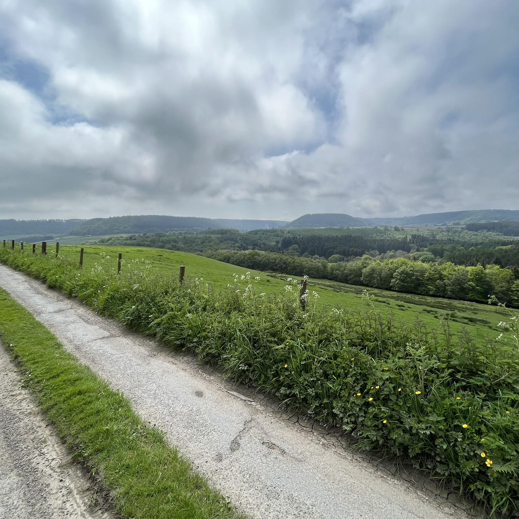
Hiking around Darncombe-Cum-Langdale End
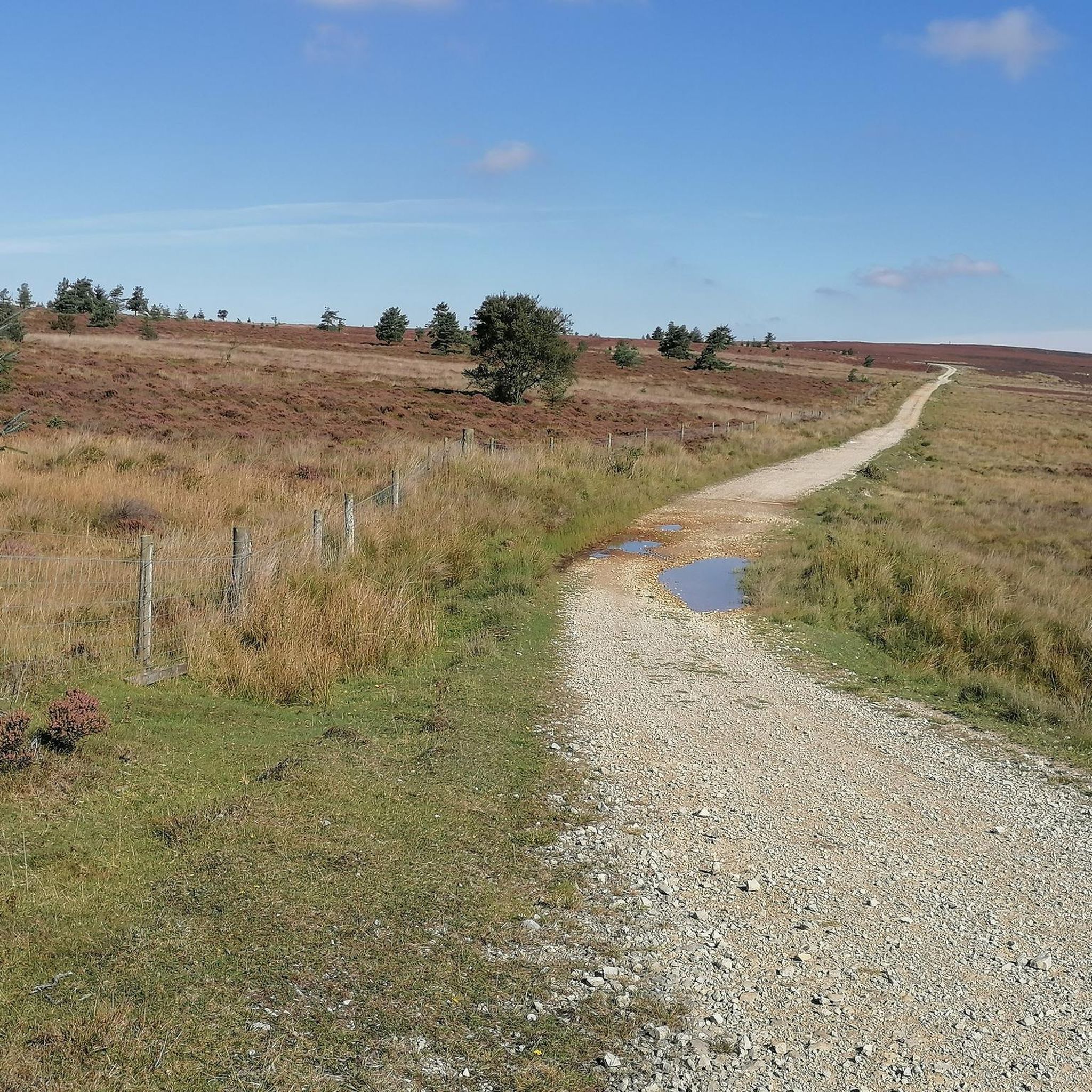
Running Trails around Darncombe-Cum-Langdale End
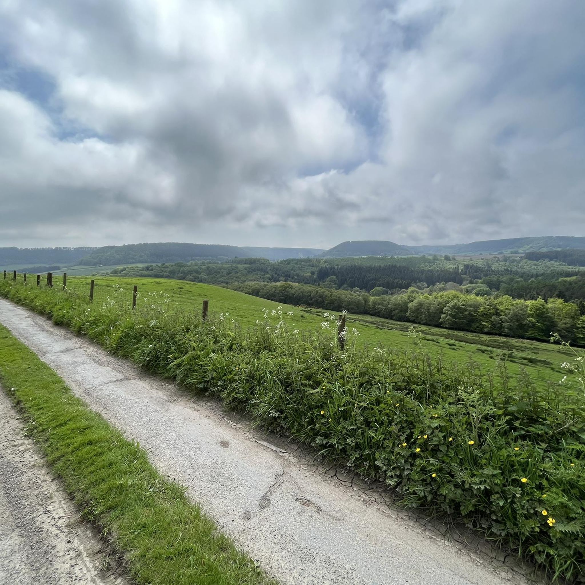
MTB Trails around Darncombe-Cum-Langdale End
Gravel biking around Darncombe-Cum-Langdale End
Other adventures around Darncombe-Cum-Langdale End

Tips from the Community

Large portions, great menu, lovely owner who advised us not to over order
0
0

Welcome to Yorkshire, the region’s official tourism site, prominently refers to Thornton-le-Dale as the “Jewel of the Moors”, highlighting its scenic village pond, thatched cottages, and meandering beck. The name “Thornton” likely comes from the Angles who settled Yorkshire around AD 500–540, meaning “farmstead among thorn bushes”.
0
0

This can be very muddy at times, plus the gate at the end of the track is very narrow.
0
0

The gate of an old church. Unfortunately, I couldn't figure out what used to stand there, whether it was a monastery or something else. But I found this portal very impressive.
0
0

Cafe & bike shop both take card payments (and apple payments even if theres no signal). Great place to stop for a slice of cake, sandwich and a coffee. Or bike repairs if needed (and a bit of clothes shopping with all the latest brands there).
0
0

A pleasant place to stop for a snack and a rest, especially if the weather is nice.
0
0

English Heritage site No cafe, or undercover seating area. Hot drinks available but not good if it's raining!
0
0
Frequently Asked Questions
What are the typical difficulty levels for road cycling routes in Darncombe-Cum-Langdale End?
The road cycling routes in Darncombe-Cum-Langdale End offer a range of difficulties. You'll find approximately 11 easy routes, 43 moderate routes, and 6 difficult routes, catering to various skill levels. The terrain generally features rolling hills and rural roads, with some routes including more significant climbs.
What kind of distances can I expect on road cycling routes in Darncombe-Cum-Langdale End?
Routes vary significantly in length. For example, the View from Reasty Hill Top – Beacon Brow Lime Kiln loop from Harwood Dale is a moderate 9.2 miles (14.8 km) ride, while the Pickering Castle Ruins – View from Reasty Hill Top loop from Fylingthorpe extends to a challenging 64.2 miles (103.3 km).
Are there any family-friendly road cycling routes in Darncombe-Cum-Langdale End?
While specific 'family-friendly' designations aren't always available for road cycling, the region does offer 11 easy routes that could be suitable for families with older children or those looking for a less strenuous ride. These routes typically feature gentler gradients and quieter roads.
What is the best time of year for road biking in Darncombe-Cum-Langdale End?
The North York Moors area, including Darncombe-Cum-Langdale End, is generally best for road cycling from spring through autumn (April to October). During these months, you can expect more favorable weather conditions, longer daylight hours, and the full beauty of the rural landscapes.
What can I see along the road cycling routes in Darncombe-Cum-Langdale End?
Many routes offer scenic views and pass by interesting natural and historical sites. You might encounter natural monuments like the Mallyan Spout Waterfall or the unique rock formations of The Bridestones. Some routes also offer panoramic views from points like Simon Howe Bronze Age Cairn.
Are there any cafes or places to stop for refreshments along the road cycling routes?
While specific cafes aren't listed for every route, the rural nature of Darncombe-Cum-Langdale End and surrounding villages often means you'll find local pubs, tea rooms, or village shops. For example, the View from Reasty Hill Top – Yew Tree Tea Rooms loop from Harwood Dale specifically mentions passing by the Yew Tree Tea Rooms.
Are there any loop road bike trails in Darncombe-Cum-Langdale End?
Yes, many of the road cycling routes in the area are designed as loops. Examples include the popular Ravenscar Station (disused) – View of Robin Hood's Bay loop from Harwood Dale, which is 23.0 miles (37.0 km), and the Throxenby Mere – Ayton Castle Ruins loop from Harwood Dale, covering 31.1 miles (50.1 km).
What do other road cyclists enjoy the most about road cycling in Darncombe-Cum-Langdale End?
The area is highly rated by the komoot community, with an average score of 4.2 stars from over 20 reviews. Reviewers often praise the varied terrain, the mix of open countryside and wooded sections, and the occasional coastal views that make for diverse and engaging rides.
How many road cycling routes are available in Darncombe-Cum-Langdale End?
There are over 60 road cycling routes available in Darncombe-Cum-Langdale End, offering a wide selection for cyclists of all abilities.
Are there any routes that offer coastal views?
Yes, some routes provide stunning coastal vistas. The Ravenscar Station (disused) – View of Robin Hood's Bay loop from Harwood Dale is a prime example, offering beautiful coastal views as it passes through rural areas.
What kind of natural landmarks can I expect to see on a road cycling tour?
Beyond waterfalls and rock formations, you might also pass by serene lakes such as Staindale Lake, or explore unique geological features like The Hermitage (North York Moors), a cave formation.
Most popular routes around Darncombe-Cum-Langdale End
Most popular attractions around Darncombe-Cum-Langdale End

Get inspired with the komoot mobile app


Explore more
Browse the best Road cycling routes in other regions.
