The best running trails around Thornton-Le-Dale
3.9
(7)
934
runners
41
runs
Jogging around Thornton-Le-Dale offers access to diverse landscapes, from the extensive woodlands of Dalby Forest to the open terrain of the North York Moors National Park. The region features a mix of well-maintained forest paths, tranquil beck-side routes, and more challenging trails with elevation gain. This area provides varied running experiences within a picturesque village setting.
Best jogging routes around Thornton-Le-Dale
- The most popular jogging route is Low Dalby Park Run, a 3.4 miles (5.5 km) trail that takes…
Last updated: June 27, 2026
4.0
(2)
658
runners
5.54km
00:36
50m
60m
Moderate run. Good fitness required. Mostly paved surfaces. Suitable for all skill levels.
4
runners
24.4km
02:50
390m
390m
Hard run. Very good fitness required. Mostly paved surfaces. Suitable for all skill levels.

Sign up for free
1
runners
11.9km
01:24
130m
130m
Moderate run. Good fitness required. Mostly accessible paths. Some sure footedness required.
Moderate run. Good fitness required. Mostly paved surfaces. Suitable for all skill levels.
79
runners
Moderate run. Good fitness required. Mostly paved surfaces. Suitable for all skill levels.
Get access to more routes and recommendations from other explorers.
Sign up for free
Already have an account?
Our route recommendations are based on thousands of hikes, rides, and runs completed by other people on komoot.
Start today with a free account
Your next adventure awaits.
Login or Signup
Popular around Thornton-Le-Dale
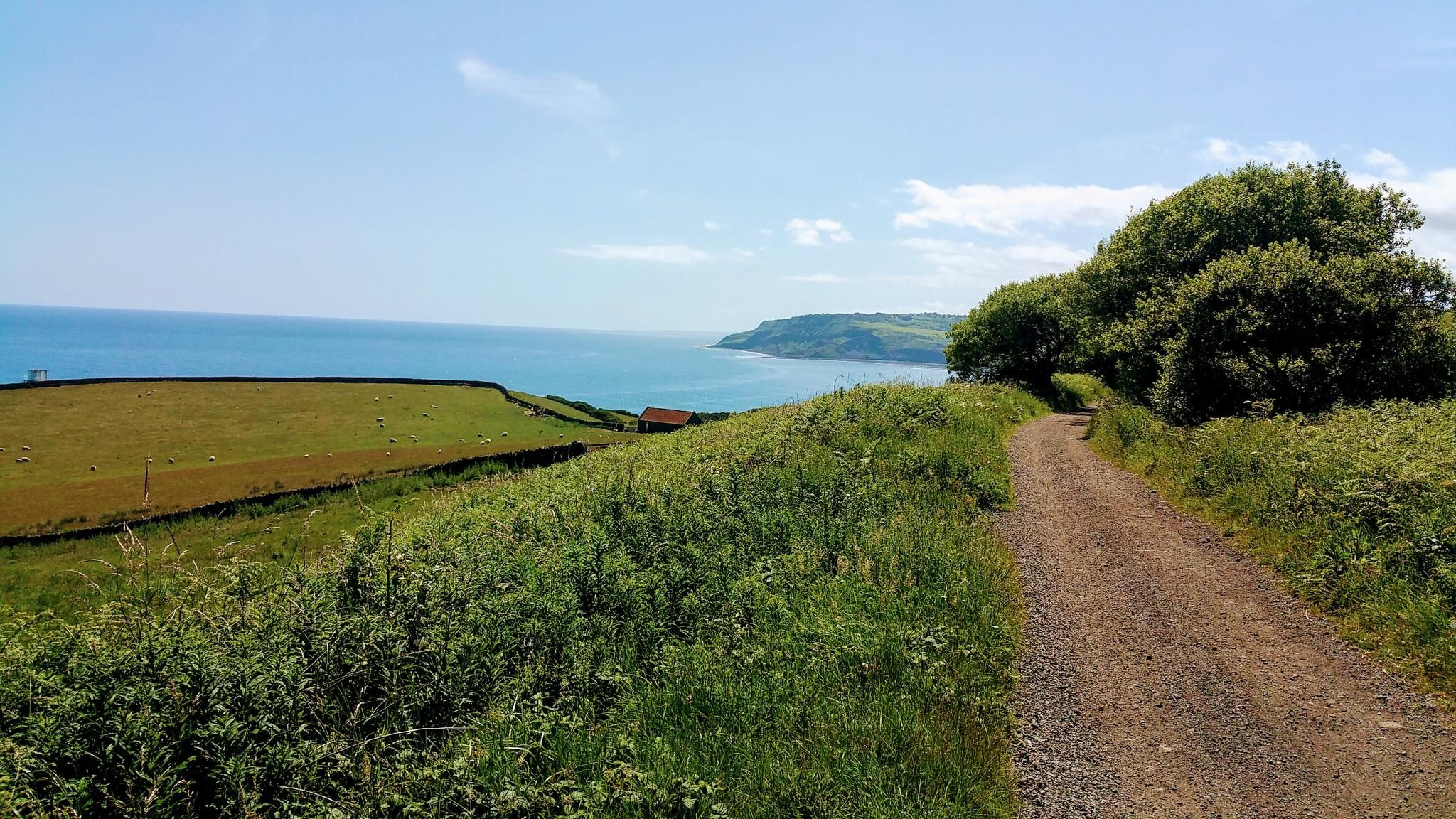
Gravel Cycling in North York Moors National Park
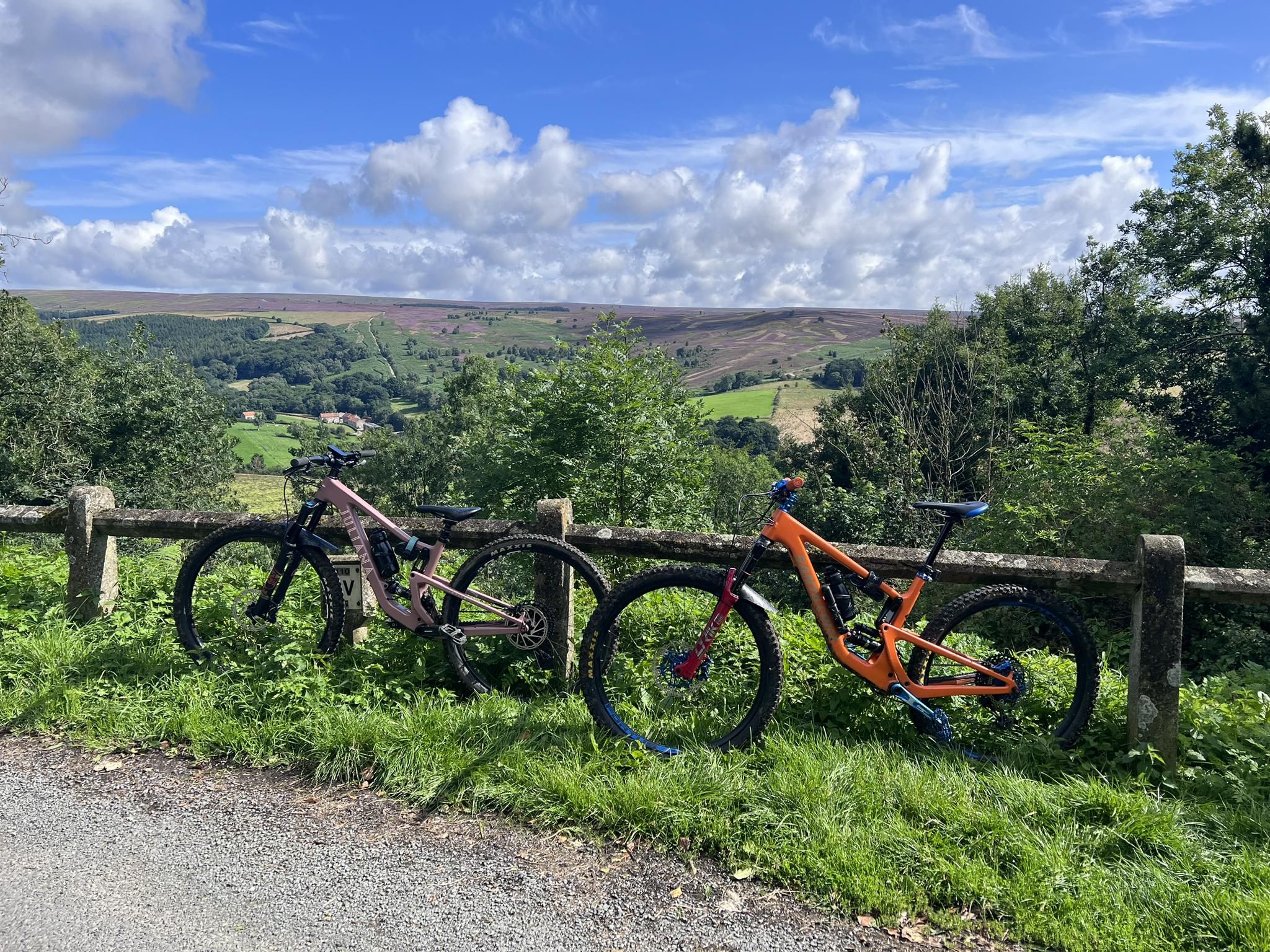
MTB Trails in the North York Moors National Park
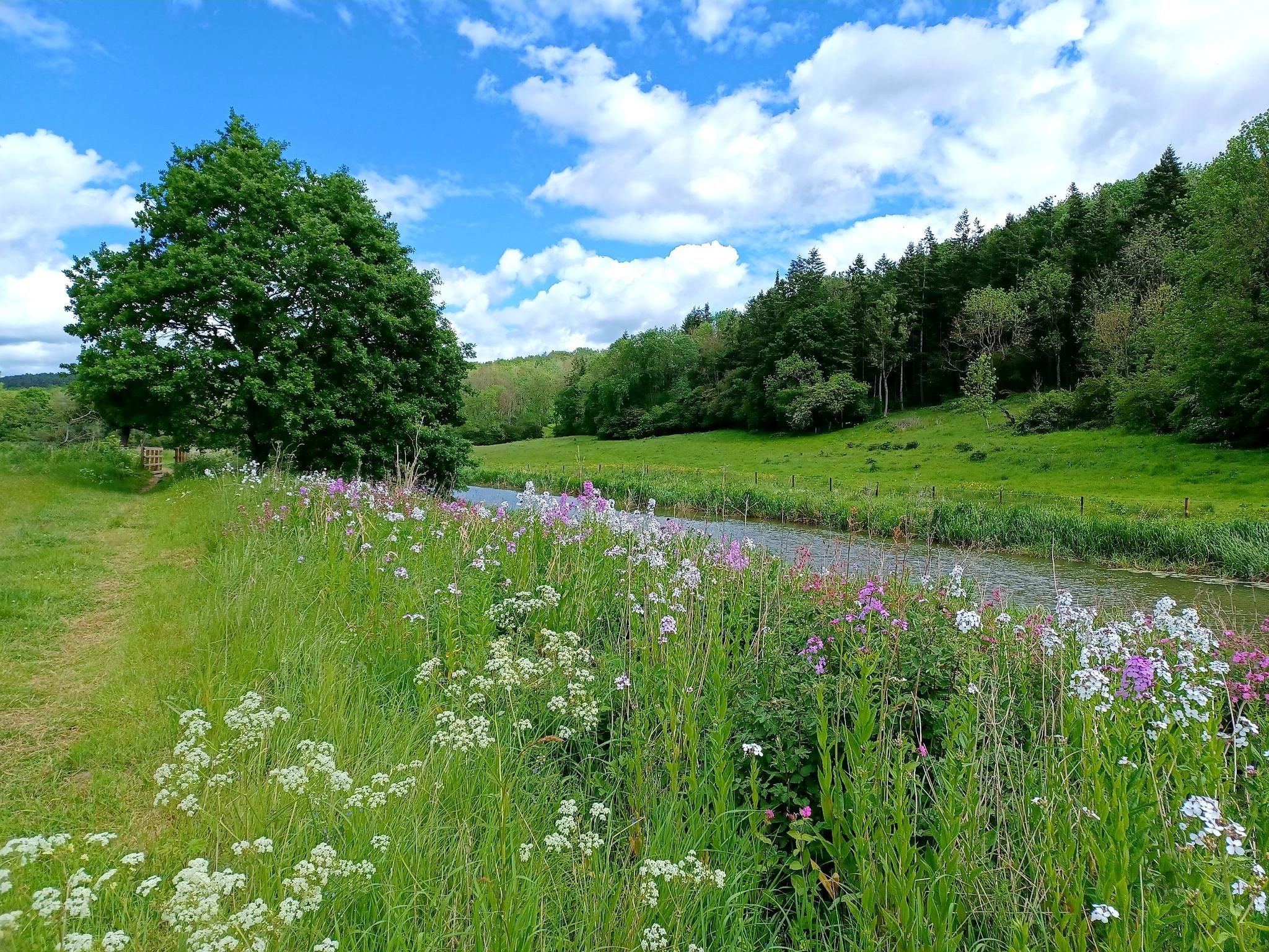
Hike 'God's Own County' – White Rose Way
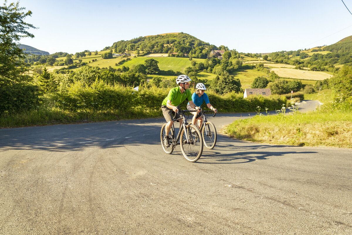
North York Moors National Park Cycle Routes
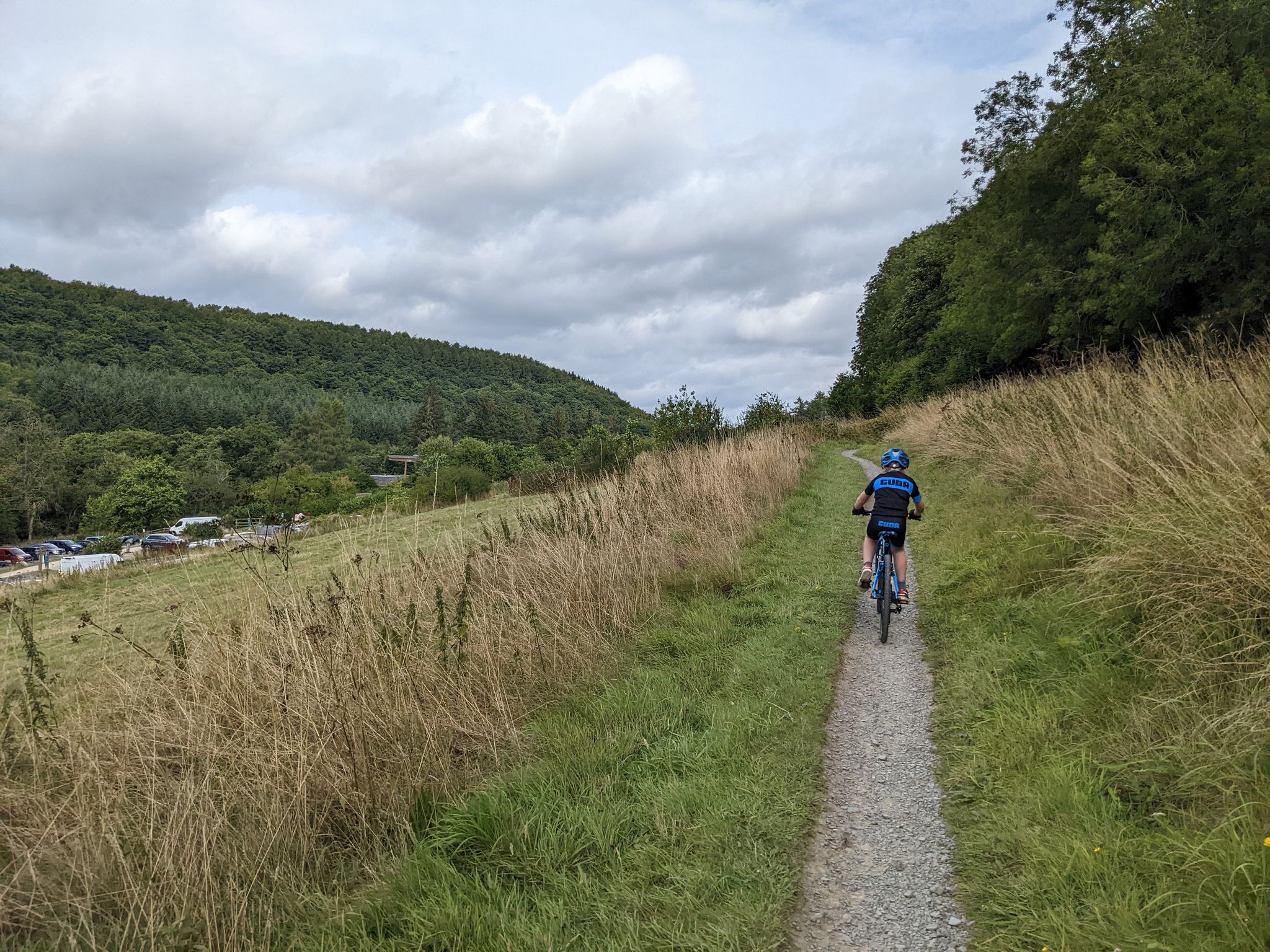
Cycling and MTB trails at Dalby Forest
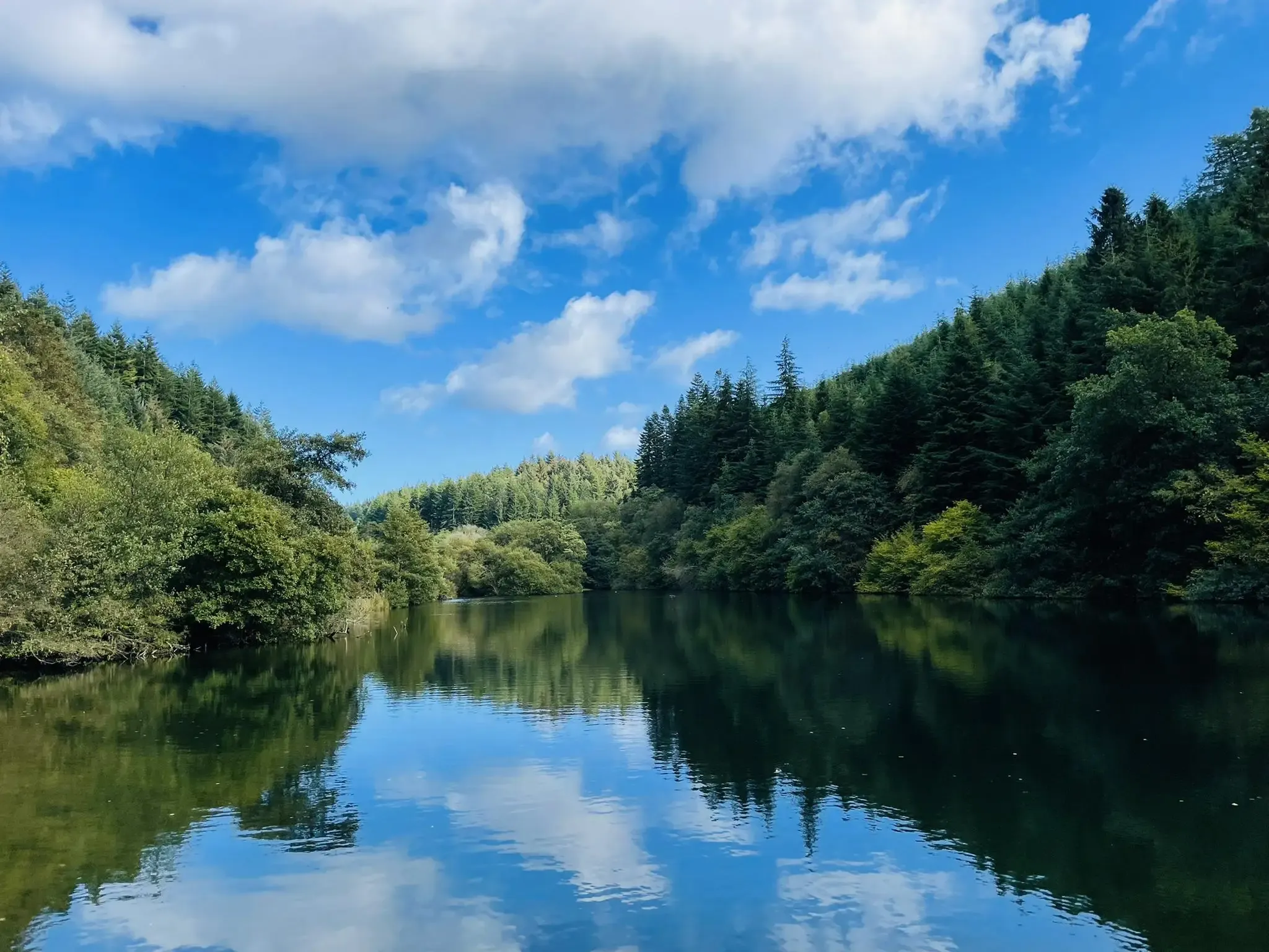
Walking and running trails at Dalby Forest
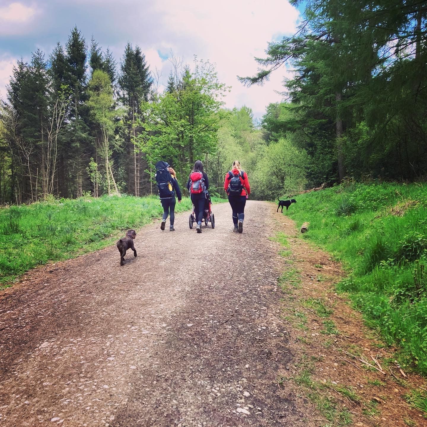
Lovely pushchair friendly walks in and around the North York Moors
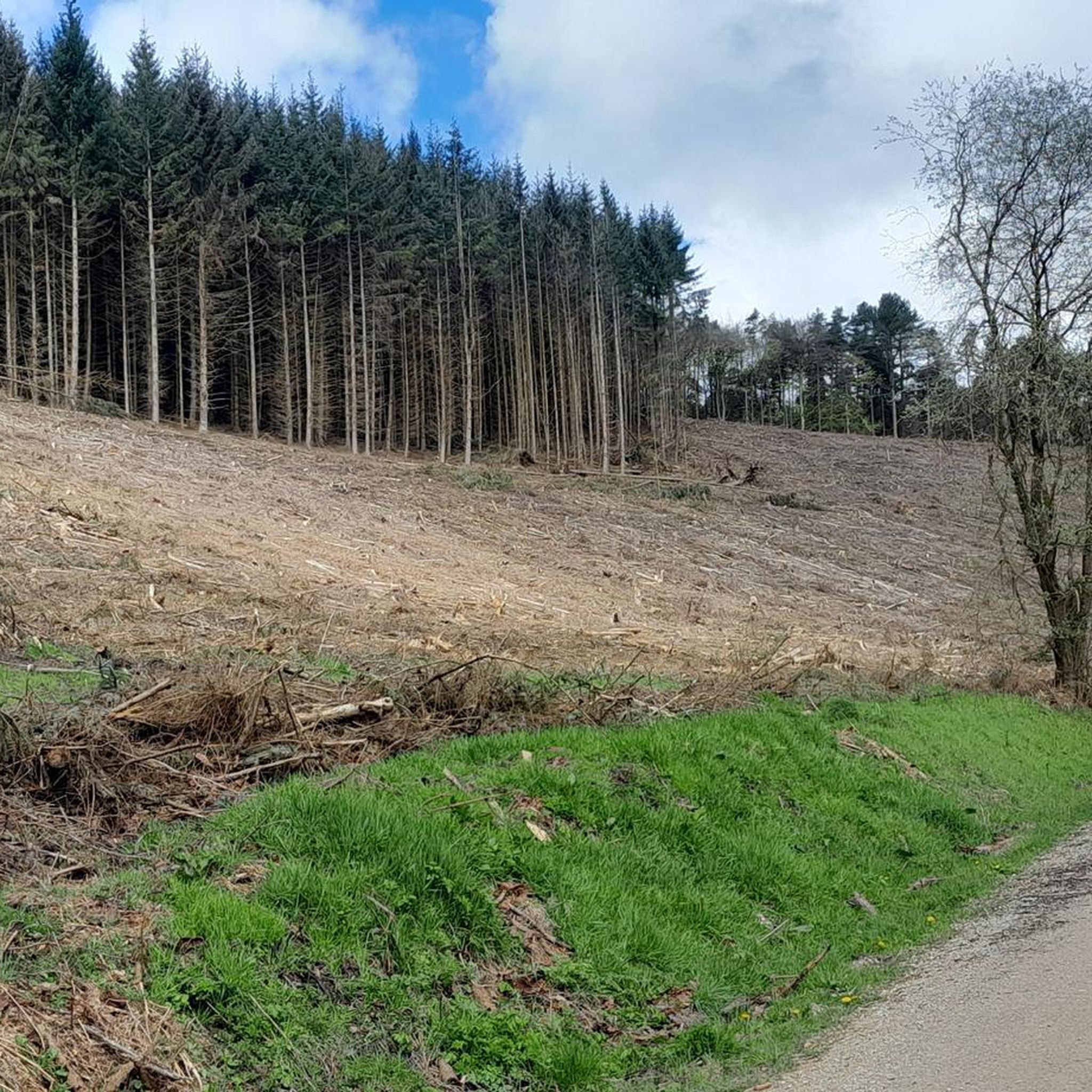
MTB Trails around Thornton-Le-Dale
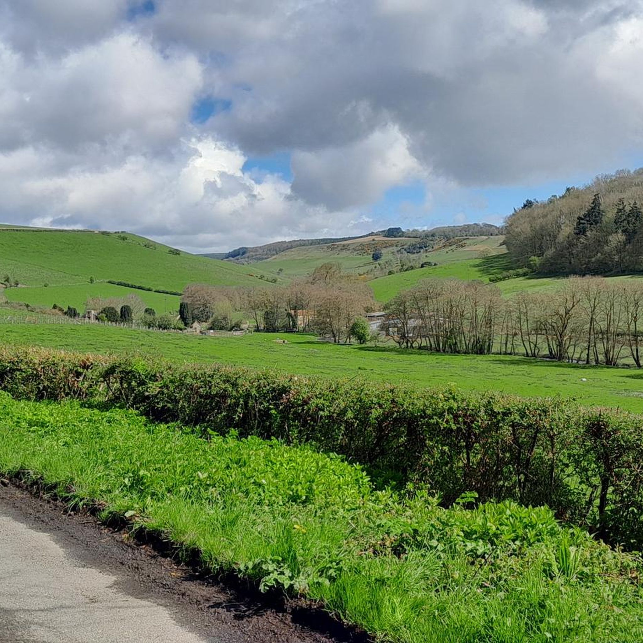
Hiking around Thornton-Le-Dale
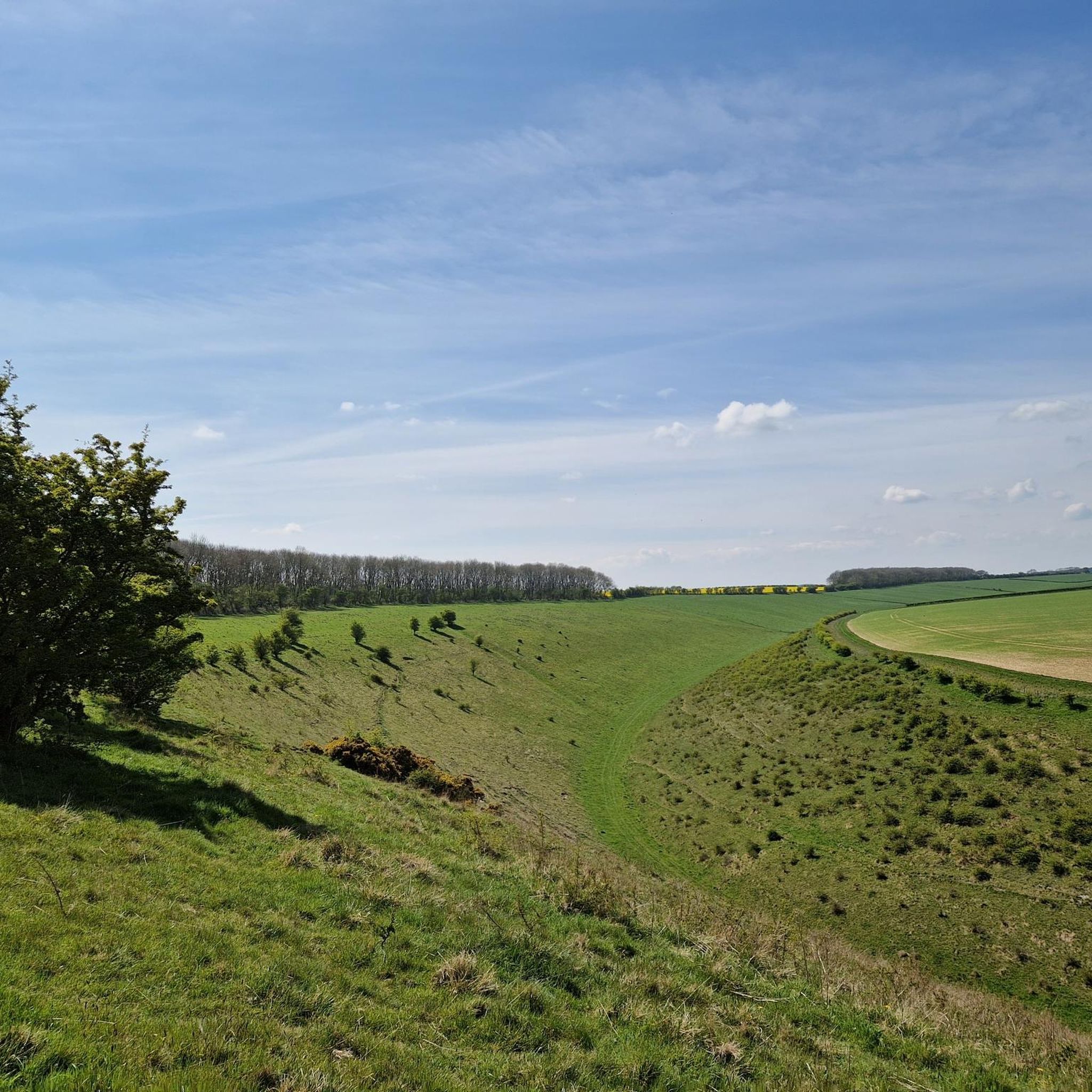
Cycling around Thornton-Le-Dale
Other adventures around Thornton-Le-Dale


Tips from the Community

Bridestones are unique rock formations located in Dalby Forest, North Yorkshire. Originally formed by movement of glaciers during the last Ice Age, the sandstone formations date back 150 million years ago.
0
0

One of the oldest continuously used Christian sites in North Yorkshire, with carved stone fragments dating back to the 8th century—possibly even earlier than the church itself. The church likely stands on a site of Christian worship dating back to the 7th or 8th century, with Saxon carved stones built into its walls. The current structure dates to around 1050, making it pre-Conquest, though it was later modified in the 13th and 15th centuries. Embedded in the church walls are Scandinavian hogback grave covers and cross fragments, including one with a dragon whose eyes look backward.
1
0
The Bridestones are the remnants of a sandstone cap, deposited during the Jurassic period, some 150 million years ago. The formations consist of alternating layers of hard sandstone and softer calcareous layers. Erosion by wind, frost, and rain over millennia has created the unique and bizarre shapes seen today. The term "Bridestones" may have originated from the Old Norse words "brink-stones" or "edge stones" The Bridestones are steeped in folklore and legend, connecting them to ancient cultures and mythical beings. Some legends suggest the Bridestones were ancient meeting places for Druids, while others tell tales of giants who once roamed the moors. One legend speaks of a young couple who eloped and found shelter among the rocks, whose love caused the stones to form a protective arch. Another story tells of Nan Moor and Jack Stone, guardians of the stones, who lived in a rock house and were possibly married there. The Bridestones are sometimes associated with the Celtic goddess Brigantia.
0
0

Many paths. Quiet and beautiful. Perfect for a mountain and a gravel bike.
0
0
One of many viewpoints along the route that runs from Saltergate Car Park along Old Wife's Way, passing Newgate Brow and Crosscliff Brow on the way to Jerry Noddle. An easy and worthwhile route to follow. Great quality track and quieter than the middle of Dalby Forest, allowing access to Langdale Forest if you are planning on covering some extra distance.
1
0

This location was about 10 miles into this trail. It is a crossroads in Dalby Forest. You can rest the bikes against several fences & gates, then sit down on an elevated drain type seat. Good point to rehydrate and eat
0
0

This is the usual place where people go when they choose to do their Dalby Forest adventures! There's a car park, a café, tourist information, trail maps, bike hire, and much more. This forest is in a dark skies area too, so there are two observatories here hosting stargazing events from time to time. An obvious place to make a stop on your Tour, particularly if you need some good coffee and much-desired flapjack!
0
0
A very obvious place to stop; you won't need me to tell you that, as you will see the lake from the Dalby Forest Drive road, and you will want to immediately make a stop and look at it! Staindale Lake has a car park area, so it's easy to leave your bike here and have a look at the beautiful waters of the lake and spot some of the wildlife around here.
0
0
Frequently Asked Questions
How many running routes are available around Thornton-Le-Dale?
There are over 40 dedicated running routes around Thornton-Le-Dale, offering a diverse range of experiences. More than 900 runners have already explored these trails using komoot, highlighting the area's popularity for outdoor activity.
What kind of terrain can I expect on the jogging trails near Thornton-Le-Dale?
The terrain around Thornton-Le-Dale is quite varied. You'll find extensive woodlands, particularly within Dalby Forest, offering well-maintained forest paths. There are also tranquil routes alongside Thornton Beck and more challenging trails with significant elevation gain as you head into the North York Moors National Park. Some routes feature paved surfaces, while others can be muddy in wet weather.
Are there any easy or beginner-friendly running routes in the area?
Yes, Thornton-Le-Dale offers several easy jogging options. The village itself has pleasant, peaceful walks along Thornton Beck and a nature trail around the village pond, which are suitable for gentler jogs. Within Dalby Forest, routes like the Low Dalby Park Run provide a moderate but accessible experience on well-maintained paths.
What are some scenic landmarks or natural features I can see while running?
Jogging routes around Thornton-Le-Dale offer access to several scenic spots. You can explore the extensive woodlands of Dalby Forest, encounter unique rock formations like The Bridestones, or enjoy views from Dundale Griff and Dalby Forest Visitor Centre. The village itself, with its picturesque beck and historic buildings, provides a charming backdrop for lighter runs.
Are there any circular running routes available?
Yes, many of the routes in the area are circular, allowing you to start and finish in the same location. For example, the The Bridestones & Dalby Forest loop is a popular circular option that takes you through woodland and offers views within the National Park.
Are the running trails around Thornton-Le-Dale suitable for families?
Absolutely. The village pond features a nature trail that is lovely and peaceful, perfect for families with children. Dalby Forest also offers numerous trails with varying lengths and difficulties, including accessible paths suitable for a family outing. The gentler routes along Thornton Beck are also a good choice for a family jog or walk.
Can I bring my dog on the jogging routes?
Many areas around Thornton-Le-Dale are dog-friendly. Dalby Forest is a popular spot for dog walkers and runners, with plenty of space to explore. The footpaths through the woods and along Maltongate are also suitable for dogs. Always ensure your dog is under control and check for any specific local restrictions, especially in nature reserve areas.
What is the best time of year to go jogging in Thornton-Le-Dale?
Thornton-Le-Dale offers great running opportunities year-round. Spring and autumn provide pleasant temperatures and beautiful scenery with changing foliage. Summer is ideal for longer runs, especially in the shaded parts of Dalby Forest. Even in winter, many trails remain accessible, though some paths, particularly along streams, can become muddy. Always check local conditions before heading out.
Are there options for parking near the running trails?
Yes, parking is generally available. Dalby Forest has designated parking areas, which serve as excellent starting points for many routes. Within Thornton-Le-Dale village, there are also parking facilities, allowing access to the village walks and trails leading into the surrounding countryside.
What do other runners enjoy most about jogging in Thornton-Le-Dale?
The area is highly rated by the komoot community, with an average score of 4.0 stars from 4 reviews. Runners often praise the diverse landscapes, from the extensive woodlands of Dalby Forest to the tranquil village paths, and the opportunities for both easy jogs and more strenuous runs within a picturesque setting.
Are there any longer or more challenging running routes for experienced runners?
Yes, for experienced runners seeking a challenge, the region offers more demanding routes. The Low Dalby and Crosscliffe Viewpoint loop is a difficult 15.1-mile (24.4 km) trail that leads through Dalby Forest and towards stunning viewpoints, involving significant elevation gain. Another challenging option is the Crosscliffe Viewpoint and Staindale Lake loop, which is a moderate 10.7 km route with notable ascents.
Most popular routes around Thornton-Le-Dale
Most popular attractions around Thornton-Le-Dale

Get inspired with the komoot mobile app


Explore more
Browse the best Running Trails & Routes in other regions.
