The 5 Most Amazing Peaks around Immenhausen
Best mountain peaks around Immenhausen are characterized by rolling hills and diverse natural features rather than towering mountains. The area offers a variety of scenic hiking trails and natural points of interest for exploration. While not featuring prominent peaks in the traditional sense, the region provides accessible outdoor activities with varied terrain and elevation. These natural landmarks and viewpoints make the Immenhausen area a destination for those seeking outdoor experiences.
Best mountain peaks around Immenhausen
- The most popular mountain peaks…
Last updated: June 29, 2026
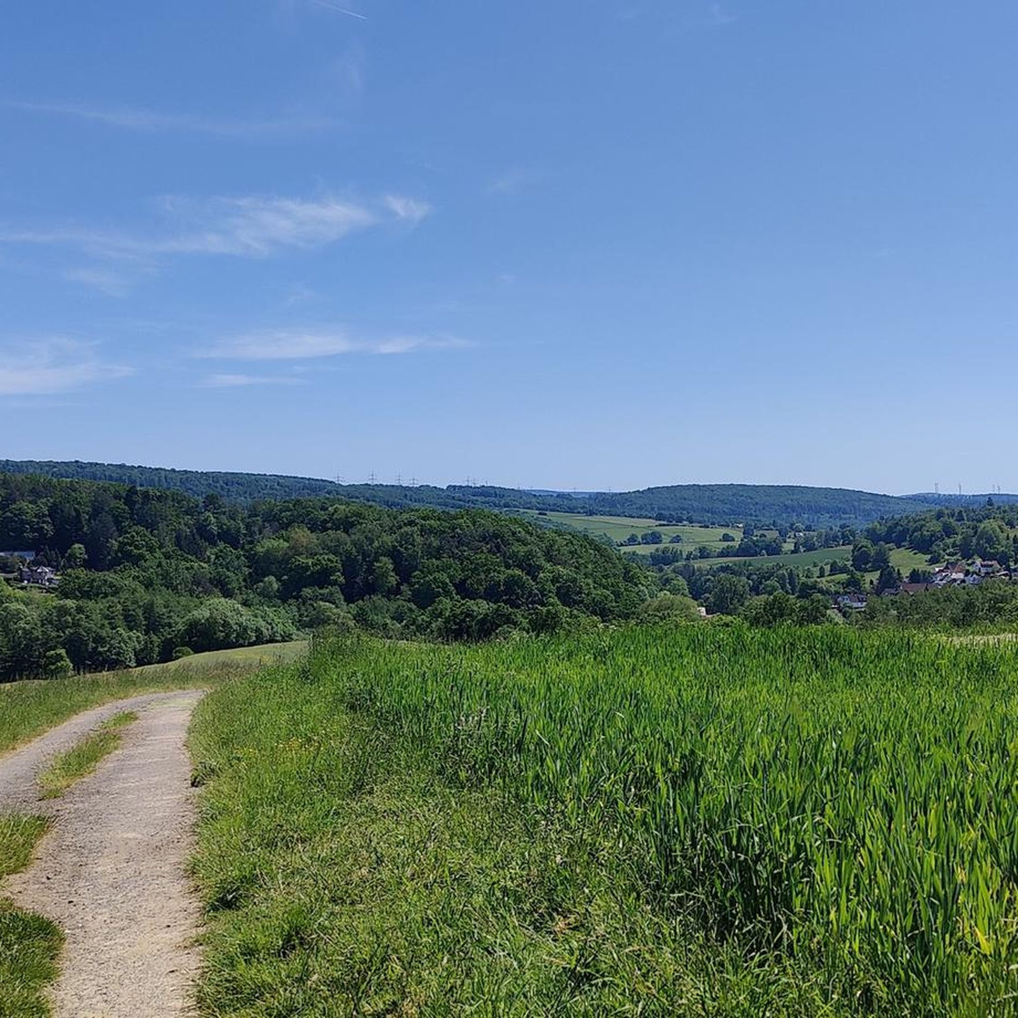
Stahlberg Rock Formation
Highlight • Natural Monument
Translated by Google •
Tip by

Staufenberg Summit on Stahlberg Ridge
Highlight • Summit
Translated by Google •
Tip by

Sign up now to discover places like this
Get recommendations on the best single tracks, peaks, & plenty of other exciting outdoor places.
Sign up for free
Staufenberg Summit Stone (472 m)
Highlight • Summit
Translated by Google •
Tip by

Firnskuppe Volcano and Former Mine Shaft
Highlight • Volcano
Translated by Google •
Tip by

View of the Helfensteine
Highlight • Viewpoint
Translated by Google •
Tip by
Start today with a free account
Your next adventure awaits.
Login or Signup
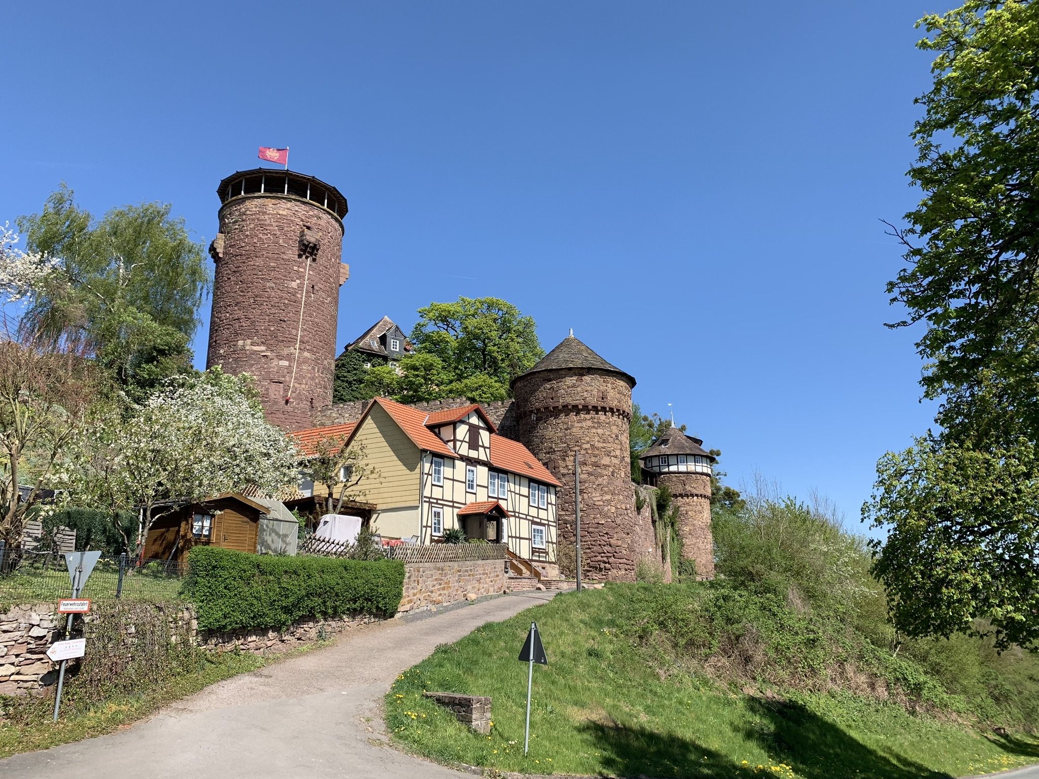
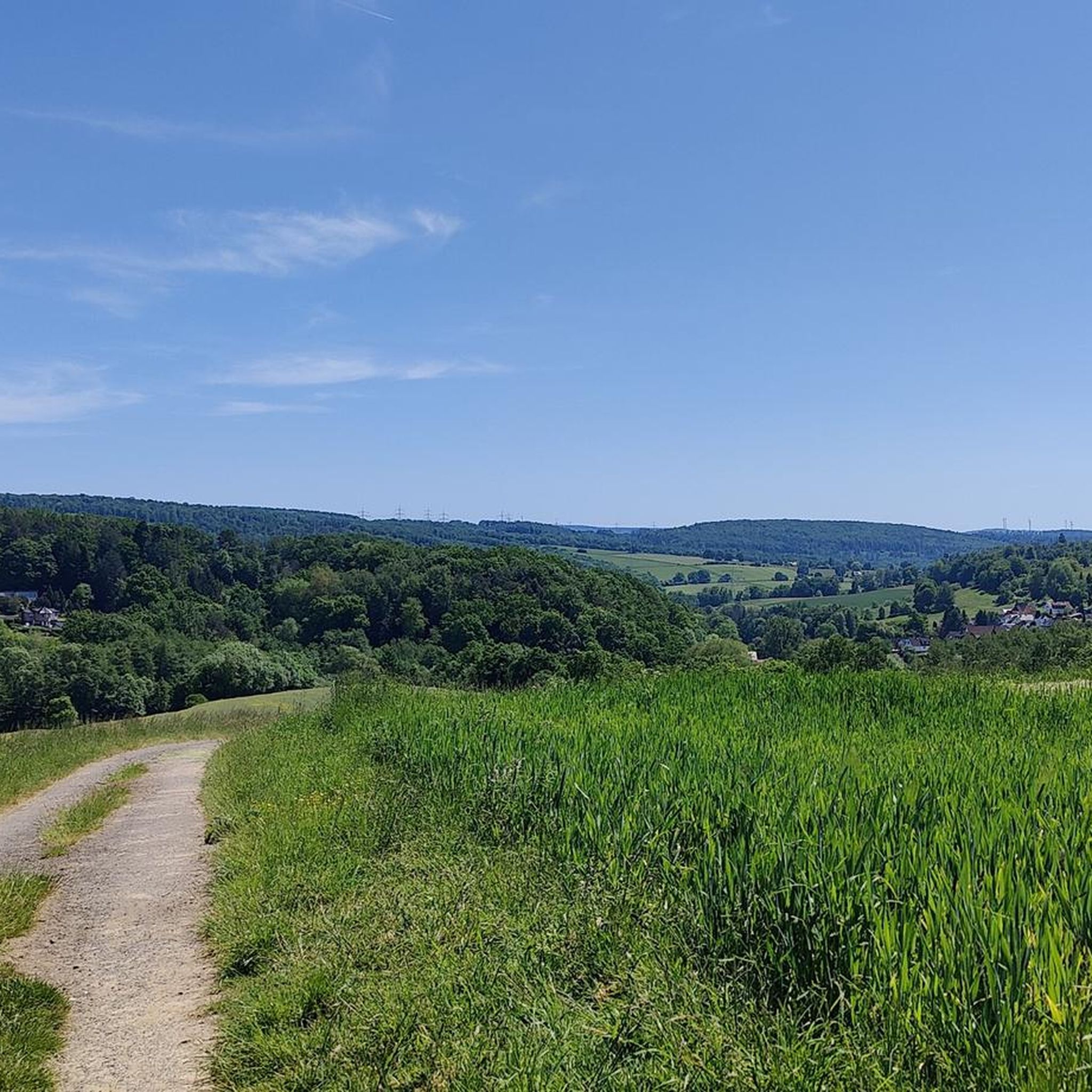
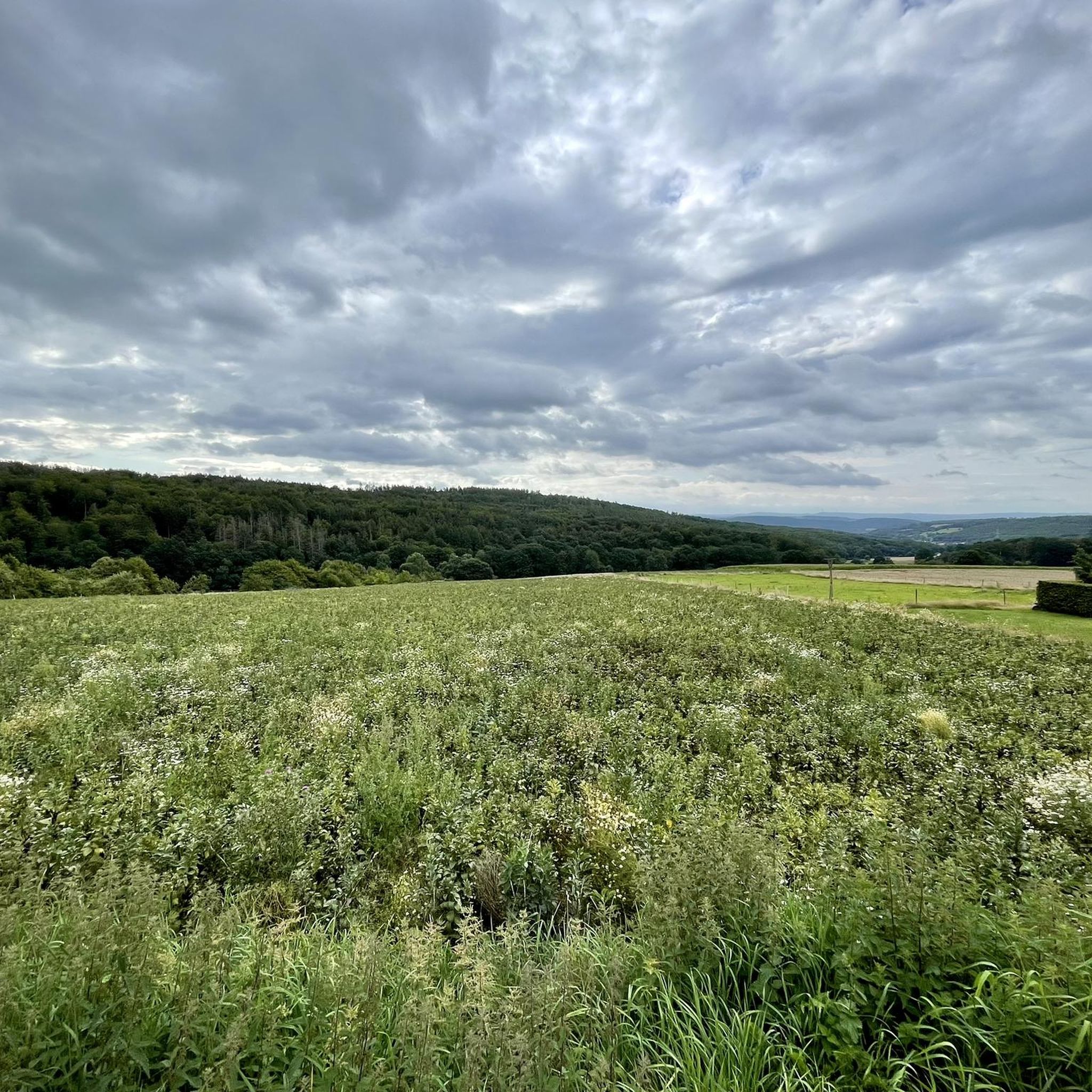
Other adventures around Immenhausen

Tips from the Community

Stahlberg summit at almost 350 HM
0
0

Have passed there many times. However, there is no official hiking trail on the ridge that leads past it. Despite all this, a beautiful spot on earth, a small swamp area has just been renatured there. stop by
0
0
Passing it every day with the dog, nice little local mountain from Heckerhausen. The clay pit and the Laubschlucht are also highly recommended.
1
0

The ascent is directly opposite the Staufenberghütte!
1
1

If you hike on the Stahlberg ridge, the Staufenberg is a little to the north, hidden in the forest. Like the Stahlberg, the Staufenberg is a basalt cone and even slightly higher than the better-known vantage point. You only have a view from up here as long as there are no leaves on the trees. And even then you can only vaguely see the Dörnberg and the Habichtswald through the trees. Nevertheless, it is a beautiful spot in northern Hesse. There is no official route to the top, but there are three footpaths from the south, west and north.
1
0

Height: 313.9m, active volcano 10 million years ago, the hole you can see there is blocked off with a grid, it is a former mining shaft that is about 20 meters deep. The last time a young man was killed there in 1821 fell into the shaft.
1
0

Worthwhile view with rest option
1
1
Nice hike in the beech forest
2
0
Frequently Asked Questions
What kind of natural elevations can I explore around Immenhausen?
The Immenhausen area is characterized by rolling hills and diverse natural features rather than towering mountains. You'll find scenic hiking trails leading to elevated points, rock formations, and summits that offer unique natural experiences. These include prominent spots like the Stahlberg Rock Formation and the Staufenberg Summit Stone (472 m).
Are there any unique geological features or rock formations to see?
Yes, the region is known for its interesting geological features. The Stahlberg Rock Formation is a notable natural monument and the highest elevation in the Heckershäuser district. Another interesting spot is the Staufenberg Summit on Stahlberg Ridge, which is a basalt cone hidden in the forest.
Where can I find the highest points or best viewpoints in the Immenhausen area?
The highest point of the Staufenberg is marked by the Staufenberg Summit Stone (472 m). For views, the Stahlberg Rock Formation offers a clear view to the south towards Heckershausen after a climb. The Staufenberg Summit on Stahlberg Ridge also provides views of the Dörnberg and Habichtswald when the trees are bare.
What is the best time of year to visit Immenhausen for outdoor activities?
The best seasons for hiking and exploring the natural features around Immenhausen are spring and autumn. During these times, the weather is mild, and nature is vibrant, offering pleasant conditions for outdoor activities.
Are there family-friendly hiking options or accessible trails near Immenhausen?
While specific 'mountain peaks' might involve some climbing, the broader Immenhausen area offers accessible outdoor activities. For example, the easy hiking loop around the Ring wall on the Ahlberg, which is about 5.56 km long with a moderate elevation gain, is suitable for all fitness levels and includes accessible paths and a picnic area.
What kind of outdoor activities can I do near these natural elevations?
Beyond exploring the elevated points, you can enjoy a variety of outdoor activities. There are numerous MTB Trails around Immenhausen, Road Cycling Routes, and general Cycling routes. Many of these routes incorporate natural highlights and scenic landscapes.
Can you tell me about the Firnskuppe Volcano?
The Firnskuppe Volcano and Former Mine Shaft is an interesting natural monument. This spot, with a height of 313.9 meters, was an active volcano approximately 10 million years ago. You can also see a former mining shaft there, which is about 20 meters deep and blocked off with a grid.
What are some popular hiking trails that include natural features in the region?
Several popular hiking routes incorporate the region's natural beauty. The Ring wall on the Ahlberg offers an easy loop with a picnic area. The Rothbalzer Pond is featured in multiple routes, including an easy loop around the pond and a more moderate Kneipp basin – Rothbalzer Pond loop from Holzhausen. The Termenei Heathland also offers a moderate loop for experiencing the local heath landscape.
What do visitors particularly enjoy about the natural spots around Immenhausen?
Visitors appreciate the diverse natural beauty and the variety of outdoor experiences. Many enjoy the peaceful hikes through beech forests, the sense of accomplishment after a strenuous climb to a viewpoint like the Stahlberg Rock Formation, and discovering hidden gems like the Staufenberg Summit on Stahlberg Ridge.
Are there any specific challenges or tips for exploring the elevated areas?
Some climbs, like the one to the Stahlberg Rock Formation, can be quite strenuous and steep. For the Staufenberg Summit Stone (472 m), there might not be a direct official path, so some cross-country walking could be involved. It's always advisable to wear appropriate footwear and be prepared for varied terrain.
Can I find circular walks that take me past these natural highlights?
Yes, the region offers several circular walks. For instance, the Ring wall on the Ahlberg features an easy circular hiking loop. Many of the routes around the Rothbalzer Pond are also designed as loops, allowing you to experience the natural features and return to your starting point.
Most popular routes around Immenhausen
Most popular attractions around Immenhausen

Get inspired with the komoot mobile app


Explore more
See even more amazing summits around Immenhausen with these guides:
