The best road cycling routes around Oswaldkirk
4.0
(2)
213
riders
30
rides
Road cycling routes around Oswaldkirk are situated at the intersection of the North York Moors National Park and the Howardian Hills Area of Outstanding Natural Beauty. The terrain features rolling hills, extensive woodlands, and an escarpment offering prominent views over the Coxwold-Gilling Gap. A notable feature is Oswaldkirk Hagg, a steep hill contributing to the varied topography. This geographical position provides diverse landscapes for road cyclists.
Best road cycling routes around Oswaldkirk
- The most popular road cycling route is Byland…
Last updated: June 25, 2026
20
riders
91.6km
04:05
650m
650m
Moderate road ride. Good fitness required. Mostly well-paved surfaces and easy to ride.
15
riders
54.6km
02:33
620m
610m
Moderate road ride. Good fitness required. Some segments of this route may be unpaved and difficult to ride.

Sign up for free
21
riders
37.2km
01:43
450m
450m
Moderate road ride. Good fitness required. Mostly well-paved surfaces and easy to ride.
3.0
(1)
15
riders
82.9km
04:02
1,030m
1,040m
Hard road ride. Very good fitness required. Mostly well-paved surfaces and easy to ride.
5.0
(1)
12
riders
26.2km
01:21
410m
410m
Moderate road ride. Good fitness required. Some segments of this route may be unpaved and difficult to ride.
Get access to more routes and recommendations from other explorers.
Sign up for free
Already have an account?
Our route recommendations are based on thousands of hikes, rides, and runs completed by other people on komoot.
Start today with a free account
Your next adventure awaits.
Login or Signup

Tips from the Community

Byland Abbey is a ruined 12th-century monastery located in the North York Moors National Park in North Yorkshire, England, managed today by English Heritage. Once a powerhouse of the Cistercian order, it stands as one of the finest examples of early Gothic architecture in the country and famously inspired the design of the iconic Rose Window at York Minster.
0
0

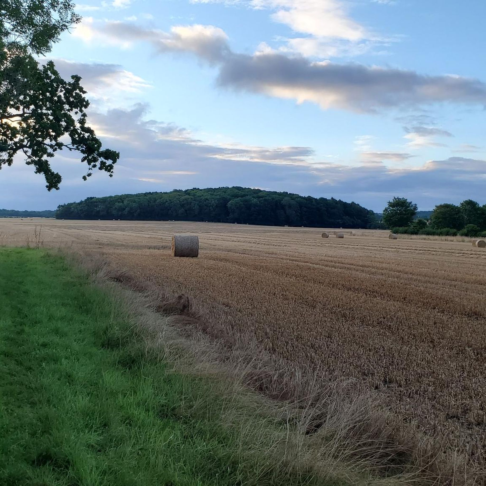
On a sunny day like today, you get hit by the smell of rapeseed. Blue sky and yellow fields 🇺🇦
0
0


Enjoy the scenery and something to eat in Easingworld
0
0
One of only a few such mazes left in the country and the only one in Yorkshire.
0
0

Try the Fika Rooms for coffee and scone. Several other excellent cafes available.
0
0
Frequently Asked Questions
How many road cycling routes are available around Oswaldkirk?
There are over 30 road cycling routes around Oswaldkirk, offering a variety of experiences. These routes are primarily rated as moderate or difficult, catering to cyclists with different fitness levels.
Are there challenging road cycling routes in Oswaldkirk?
Yes, Oswaldkirk offers challenging road cycling routes, particularly those with significant elevation gain. For example, the Rievaulx Abbey – Clay Bank Descent loop from Oswaldkirk is rated as difficult, covering over 82 km with more than 1000 meters of ascent, providing a demanding ride for experienced cyclists.
What kind of terrain can I expect on road cycling routes around Oswaldkirk?
Road cycling routes around Oswaldkirk feature diverse terrain, characterized by rolling hills, extensive woodlands, and an escarpment that offers prominent views over the Coxwold-Gilling Gap. While mostly well-paved, some segments might include unpaved sections, and you can expect varied topography including steep hills like Oswaldkirk Hagg. The region sits at the intersection of the North York Moors National Park and the Howardian Hills AONB, ensuring scenic and varied landscapes.
What historical sites or landmarks can I see while road cycling near Oswaldkirk?
Many road cycling routes in the area pass by significant historical sites. You can explore the ruins of Cistercian abbeys like Rievaulx Abbey and Byland Abbey Ruins. Routes also offer views of landmarks such as Slingsby Castle. The Byland Abbey – Byland Abbey Ruins loop from Oswaldkirk is a popular option that includes these historic sites.
Where can I find scenic viewpoints on road cycling routes around Oswaldkirk?
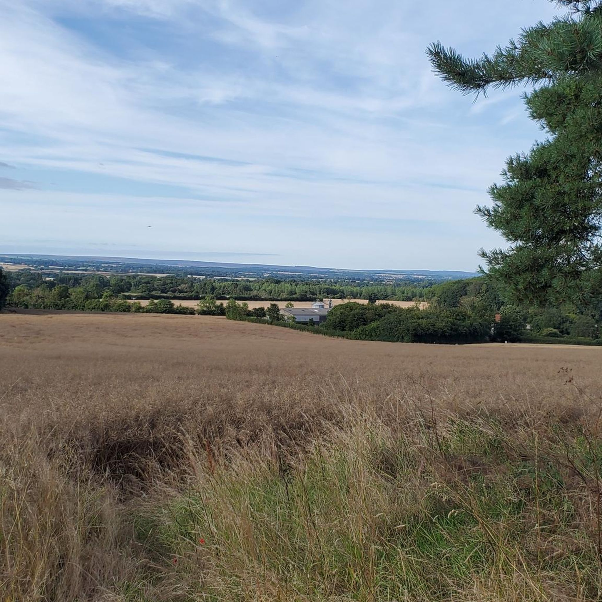
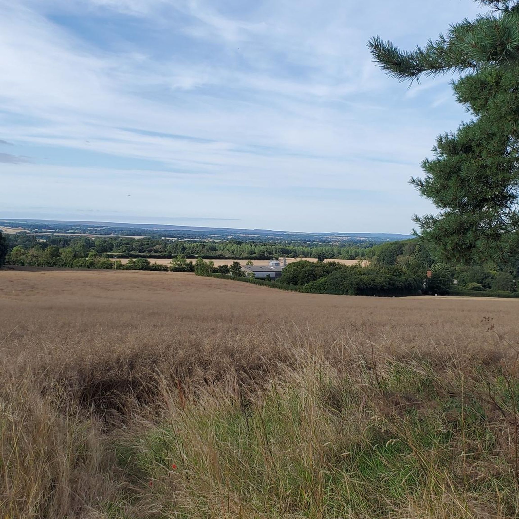
The region around Oswaldkirk is rich with scenic viewpoints, thanks to its location at the foot of a densely wooded escarpment. You can enjoy extensive, long-distance vistas over the Coxwold-Gilling Gap and into the Howardian Hills. The Kilburn White Horse, a large turf-cut figure, also offers panoramic views of the North York Moors National Park and is accessible via some routes.
Are there circular road cycling routes available from Oswaldkirk?
Yes, many road cycling routes around Oswaldkirk are designed as loops, allowing you to start and finish in the same location. Examples include the View of Slingsby Castle – City of Troy Maze loop from Oswaldkirk and the Byland Abbey Ruins – Easingwold Cafes loop from Oswaldkirk, which are popular circular options.
What do other road cyclists enjoy the most about road cycling in Oswaldkirk?
The road cycling routes in Oswaldkirk are highly rated by the komoot community, with an average score of 4.0 stars. Cyclists often praise the diverse landscapes, the mix of rolling hills and woodlands, and the opportunity to visit historic sites like Byland Abbey and Rievaulx Abbey. The authentic cycling experience on narrow roads is also frequently highlighted.
Are there any cafes or pubs along the road cycling routes for a stop?
Yes, several routes incorporate stops at cafes or pass near villages with amenities. For instance, the Byland Abbey Ruins – Easingwold Cafes loop from Oswaldkirk specifically mentions cafes in Easingwold. Additionally, the The Hub Café, Ampleforth – Yearsley Moor loop from Oswaldkirk includes a stop at The Hub Café in Ampleforth, providing convenient refreshment points.
Is there dedicated cycling support or resources available near Oswaldkirk?
Yes, the Sutton Bank National Park Centre, located at the top of Sutton Bank, is a valuable resource for cyclists. It offers a shop, bike servicing, mapped trails, and even a pump track. This center can be a useful stop for any cycling needs while exploring the area.
What is the best time of year to go road cycling around Oswaldkirk?
The region's diverse landscapes are enjoyable throughout much of the year. Spring and autumn offer pleasant temperatures and beautiful scenery, with changing foliage in the woodlands. Summer provides longer daylight hours, though routes can be more popular. Always check local weather conditions, especially for potential narrow road conditions, before heading out.
Are there any easy or beginner-friendly road cycling routes around Oswaldkirk?
While the majority of routes around Oswaldkirk are rated as moderate or difficult due to the rolling hills and elevation changes, there are no routes specifically classified as 'easy' in the guide data. Cyclists new to the area or with less experience might consider shorter, less hilly sections of the moderate routes, or focus on routes with lower overall elevation gain, such as the The Hub Café, Ampleforth – Yearsley Moor loop from Oswaldkirk, which is 26.2 km long.
Are there options for parking near the road cycling routes in Oswaldkirk?
Oswaldkirk is a village, and while specific dedicated cycling parking isn't detailed in the route information, parking is generally available within or near the village. For routes starting directly from Oswaldkirk, local parking options would be the most convenient. Always check local signage for parking regulations and availability.
Most popular routes around Oswaldkirk
Most popular attractions around Oswaldkirk

Get inspired with the komoot mobile app


Explore more
Browse the best Road cycling routes in other regions.
