The 16 Most Amazing Peaks around Bransdale
Best mountain peaks around Bransdale are found within a secluded valley in the North York Moors National Park, characterized by rolling hills and extensive moorland. While not featuring towering alpine mountains, the region offers significant high points and moorland summits. These elevated areas provide expansive views and compelling natural features. The landscape is marked by ancient tracks and historical sites, adding to its appeal for outdoor enthusiasts.
Best mountain peaks around Bransdale
- The most popular mountain peaks is The Wainstones…
Last updated: May 22, 2026
Carlton Bank Summit Trig Point
Highlight • Natural Monument
To the northeast, you can see the distinctively shaped Roseberry Topping. To the east and south, the stunning undulations …
Tip by

The Wainstones
Highlight • Climb
The rocks are situated on a hill called 'Hasty Banks', and there are fantastic views across to Middlesbrough …
Tip by
Sign up now to discover places like this
Get recommendations on the best single tracks, peaks, & plenty of other exciting outdoor places.
Sign up for free
Urra Moor – Highest Point of the North York Moors
Highlight (Segment) • Summit
Other than fellow walkers, there's a chance you'll bump into archaeologists up on the …
Tip by

Round Hill Summit (Highest Point of Urra Moor)
Highlight • Summit
Tip by
Cringle End Summit
Highlight (Segment) • Climb
Tip by

Sign up for free to discover even more peaks around Bransdale.
Sign up for free
Already have an account?
Start today with a free account
Your next adventure awaits.
Login or Signup
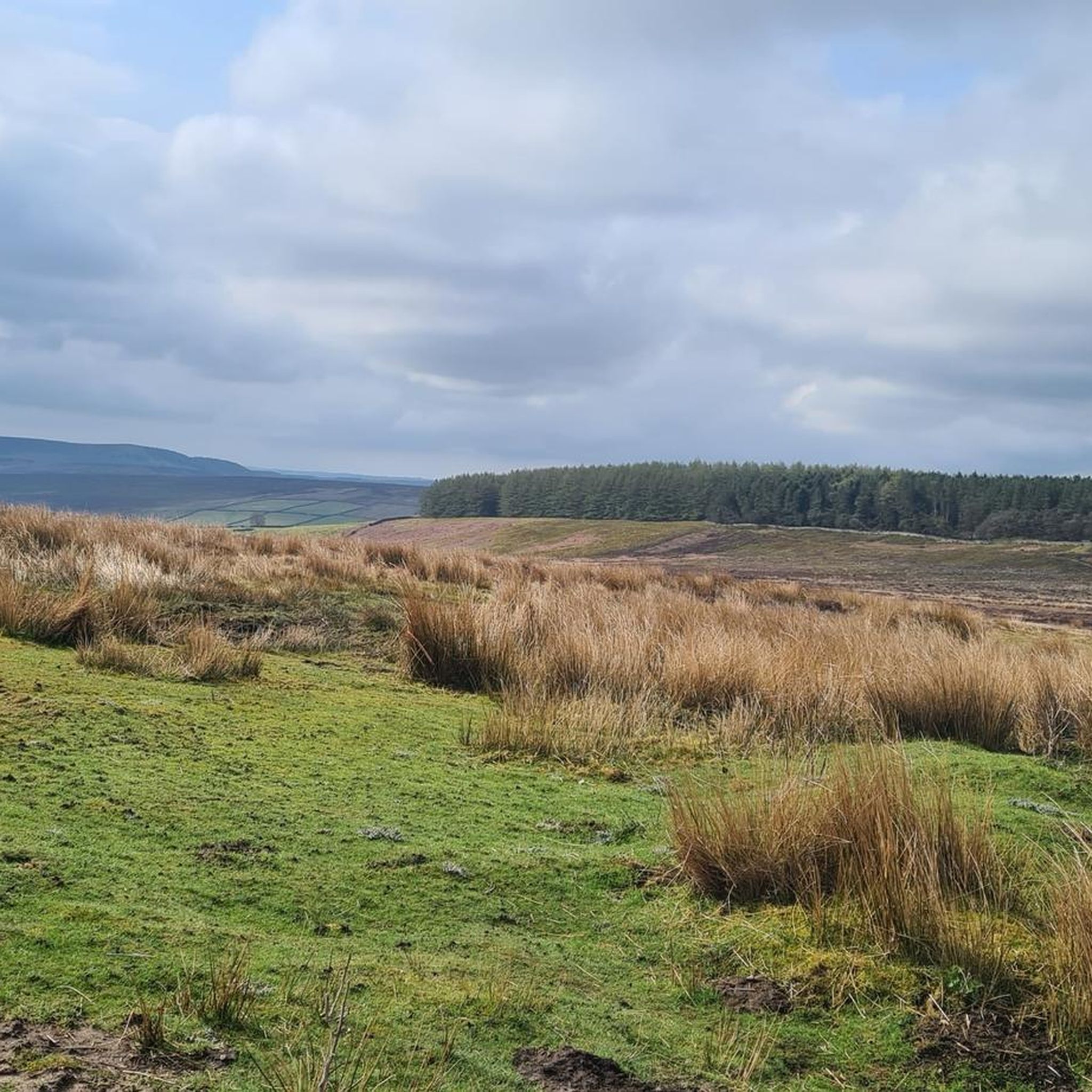
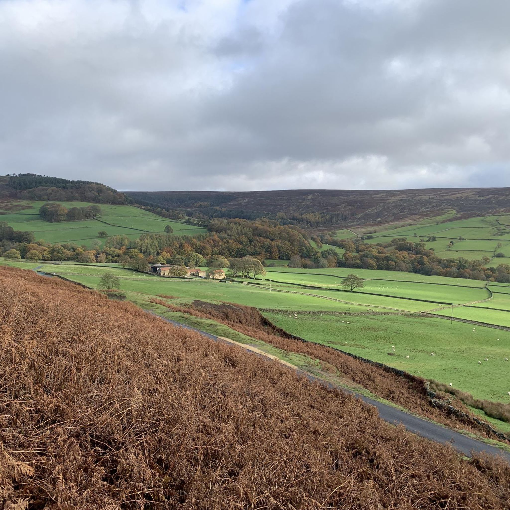
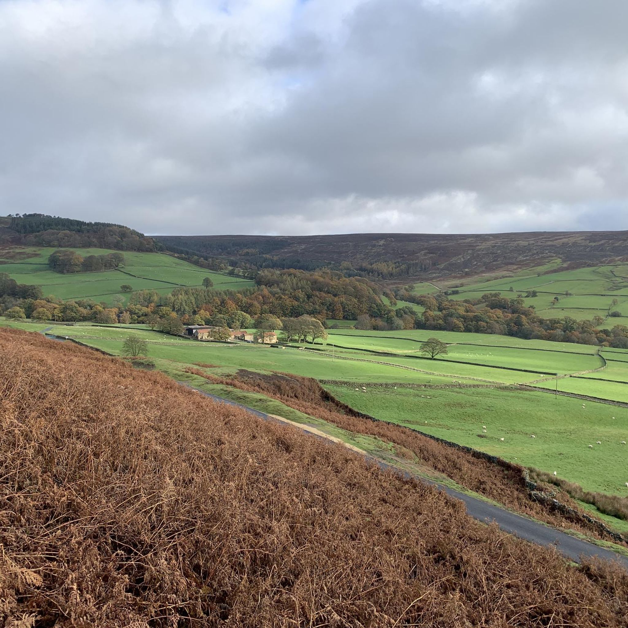
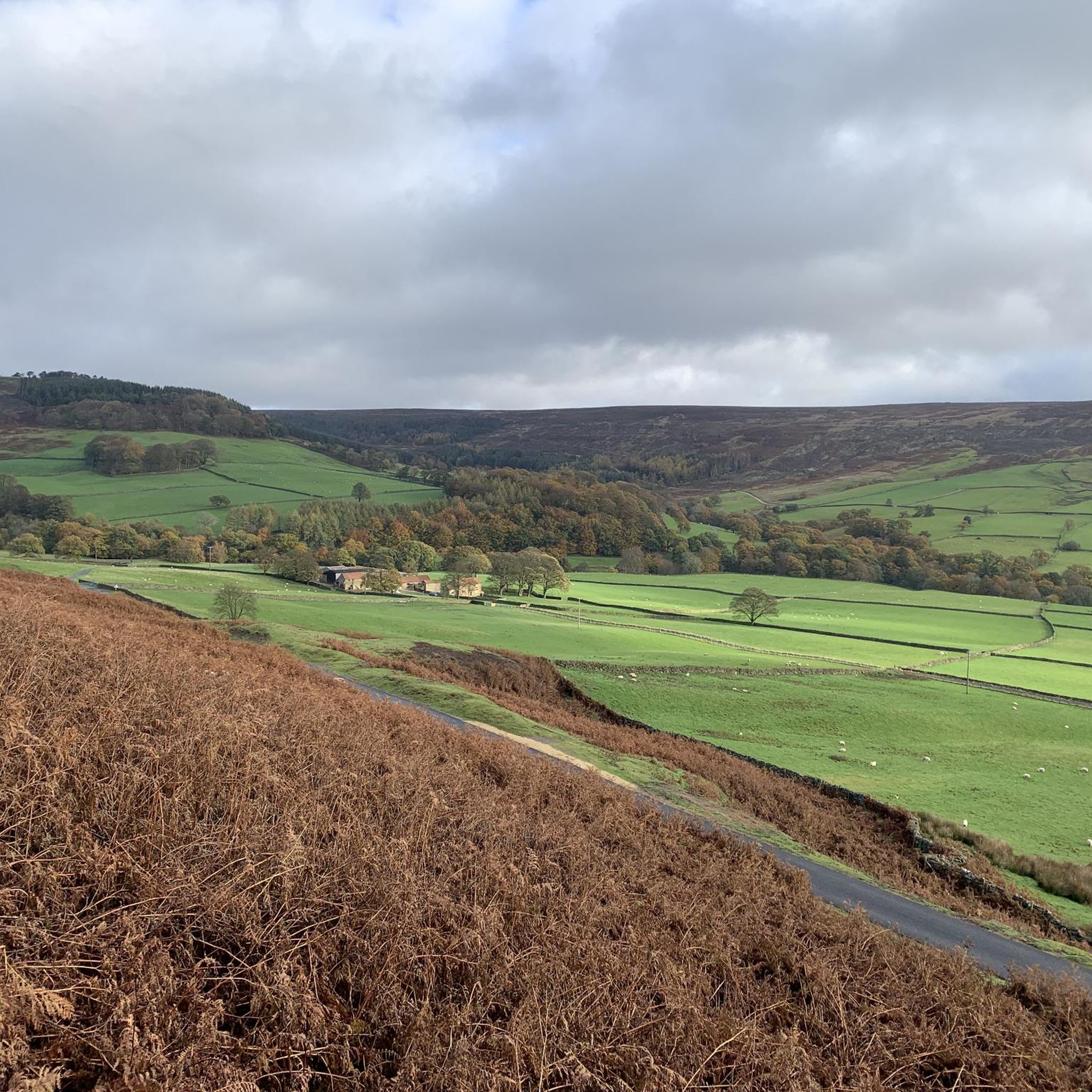
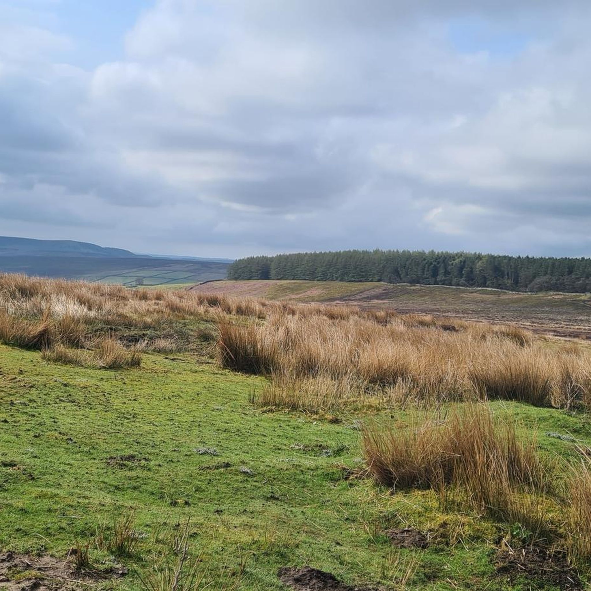
Tips from the Community

This is where I realised wearing new boots for a hike this long was a BAD idea!
0
0
Lots of view points, people rock climbing and the up and downs test you as they are short, but a touch punchy for their short elevation!
0
0

Just off the Cleveland Way and about halfway between Carr Ridge to the west and Bloworth Crossing to the east, spectacular views all around on a clear day.
1
0
Urra Moor is fairly large and criss-crossed with several walking routes, some more popular than others. As a result, there are great panoramic views to be had in all directions. https://en.wikipedia.org/wiki/Urra_Moor
1
0
If Cringle End is your destination, approach from Lordstones Country Park to the west, the gradient is more forgiving and the path is relatively straight. If you crest Cringle Moor from the east you will find the ascent comprises vicious sections of very twisty stone path with much steeper gradient, according to the elevation profile on Komoot, up to and over 33%. Quite punishing if you already have already covered a lot of miles and ascent.
2
0
Judging from the number of recommendations, photos and tips, this is a hugely popular spot. If you can, get up there nice and early (I started 5.30am in May) to catch the rising sun and see the stones in a mix of sunlight and shadow, both from afar and close up. Spectacular rock formations and views all round.
3
0
More spectacular views. The approach from the west is easier with a more gentle incline than the approach from the east, which involves a series of twisting turning steep steps, good safe footing but hard going both up and down.
1
0

Take the open path to the South back to Carlton Bank. The views are good and it is a pleasant path. Avoid the dull and predictable forest track to the North recommended by most others
1
0
Frequently Asked Questions
What are the most prominent high points and moorland summits around Bransdale?
While Bransdale is known for its rolling hills and moorland rather than alpine mountains, several significant high points offer expansive views. Notable summits include Urra Moor – Highest Point of the North York Moors, Carlton Bank Summit Trig Point, and Cockayne Ridge (with its summit Cockayne Head). Each offers unique features and breathtaking vistas across the North York Moors.
What kind of views can I expect from the peaks around Bransdale?
The peaks around Bransdale offer unparalleled panoramic views of the vast moorland landscape. From Carlton Bank Summit Trig Point, you can see across the Vale of Mowbray towards the Yorkshire Dales on clear days, and even the distinctively shaped Roseberry Topping. Urra Moor, as the highest point, provides sweeping vistas in all directions.
Are there any historical or archaeological sites on these moorland summits?
Yes, the region is rich in history. Urra Moor is particularly notable for its significant prehistoric remains, including barrows and carved stones, some featuring ancient cup and ring carvings. Cockayne Ridge also features a Bronze Age tumulus and ancient tracks, adding archaeological intrigue to the landscape.
What are some popular walking routes near these peaks?
Many of the high points are crossed by well-known long-distance paths. The Cleveland Way National Trail and Wainwright's Coast to Coast Walk both cross Carlton Bank. A track forming part of the Lyke Wake Walk and the Cleveland Way passes near Urra Moor, providing a common route of ascent. For more options, you can explore various hiking routes around Bransdale.
Are there any challenging climbs or distinctive rock formations to explore?
Yes, The Wainstones is a distinctive and fierce-looking rocky outcrop, popular for hikers and offering fantastic views. For a challenging ascent, Cringle End Summit features steep gradients, with some sections reaching up to 45%, making it a demanding climb with rewarding views.
What is the best time of year to visit the peaks around Bransdale?
The heather-clad moorland provides vibrant scenery, especially in late summer and autumn. However, the well-maintained tracks along many ridges make them accessible for walkers seeking scenic experiences throughout much of the year. Always check local weather forecasts before heading out, as conditions on the exposed moors can change rapidly.
Are there family-friendly walking options near the Bransdale peaks?
While some summits involve challenging climbs, many areas offer more gentle routes suitable for families. The ancient tracks along Cockayne Ridge provide a relatively dry route through the moor. For specific easy walking options, you can check out easy hikes around Bransdale, which include routes like the Church Houses loop from Low Mill.
What other outdoor activities can I do near these mountain peaks?
Beyond hiking, the area around Bransdale is excellent for gravel biking. You can find various routes, such as the 'View of Farndale – Blakey Bank Summit loop from Hutton-le-Hole', offering diverse terrain and scenic rides. Explore more options in the Gravel biking around Bransdale guide.
What do visitors enjoy most about the peaks around Bransdale?
Visitors frequently highlight the breathtaking views and the sense of tranquility and unspoiled nature. The expansive moorland landscapes, the dramatic transition from lowlands to uplands, and the archaeological intrigue of sites like Urra Moor are often praised. The distinctive rock formations of The Wainstones are also a popular draw.
Are the trails around Bransdale peaks dog-friendly?
Many of the moorland trails and tracks around Bransdale are suitable for dogs, provided they are kept under control, especially due to livestock and ground-nesting birds. Always follow the Countryside Code. Specific dog-friendly routes can often be found within the broader hiking guides for the area.
Where can I find parking for accessing these moorland summits?
Parking is typically available at various points along the main roads and in villages surrounding the North York Moors, providing access to trailheads. For example, to approach Cringle End Summit, Lordstones Country Park to the west offers a more forgiving approach with parking facilities.
Most popular attractions around Bransdale

Get inspired with the komoot mobile app


Explore more
See even more amazing summits around Bransdale with these guides:
