The best walks and hikes around Gayles
4.6
(651)
5,035
hikers
194
hikes
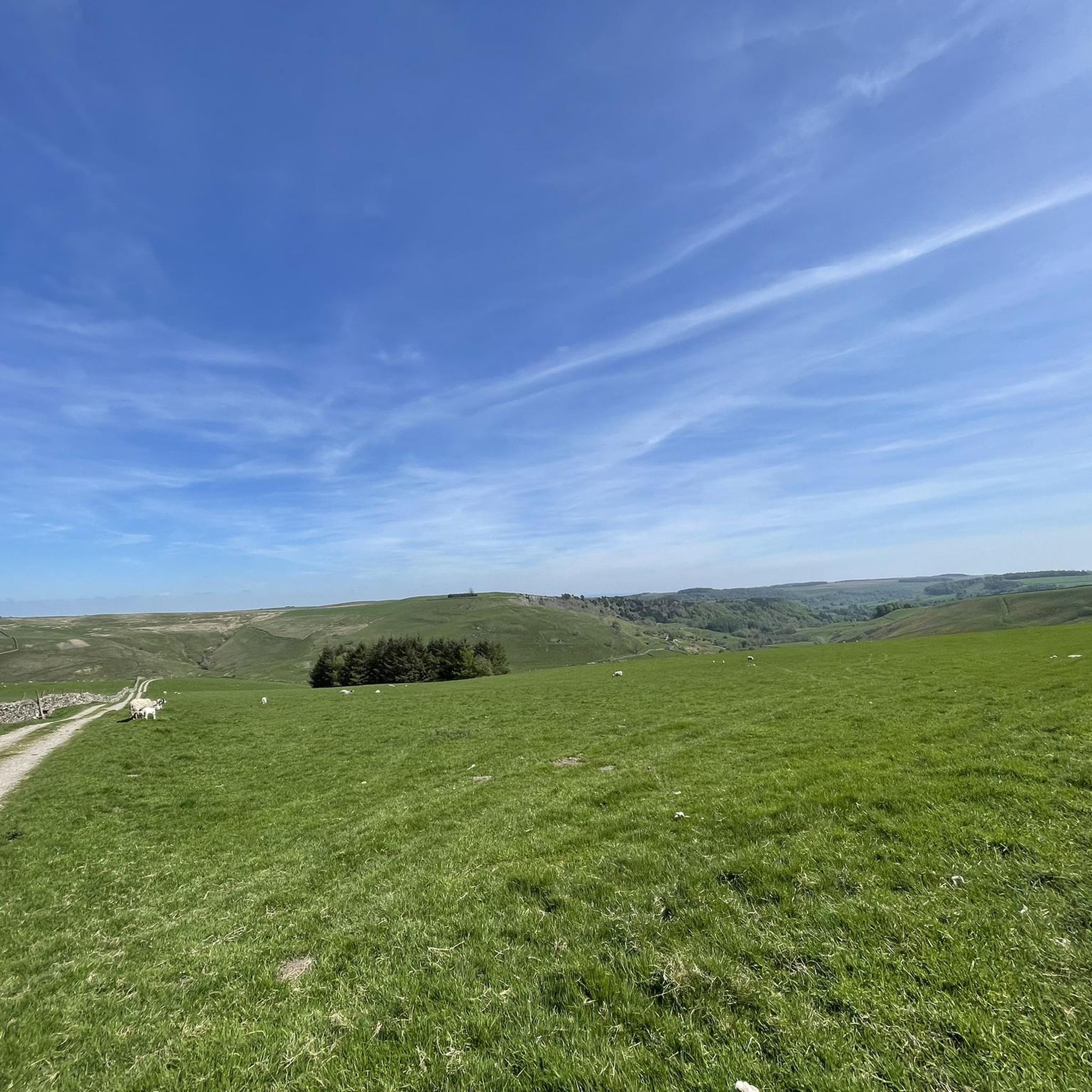
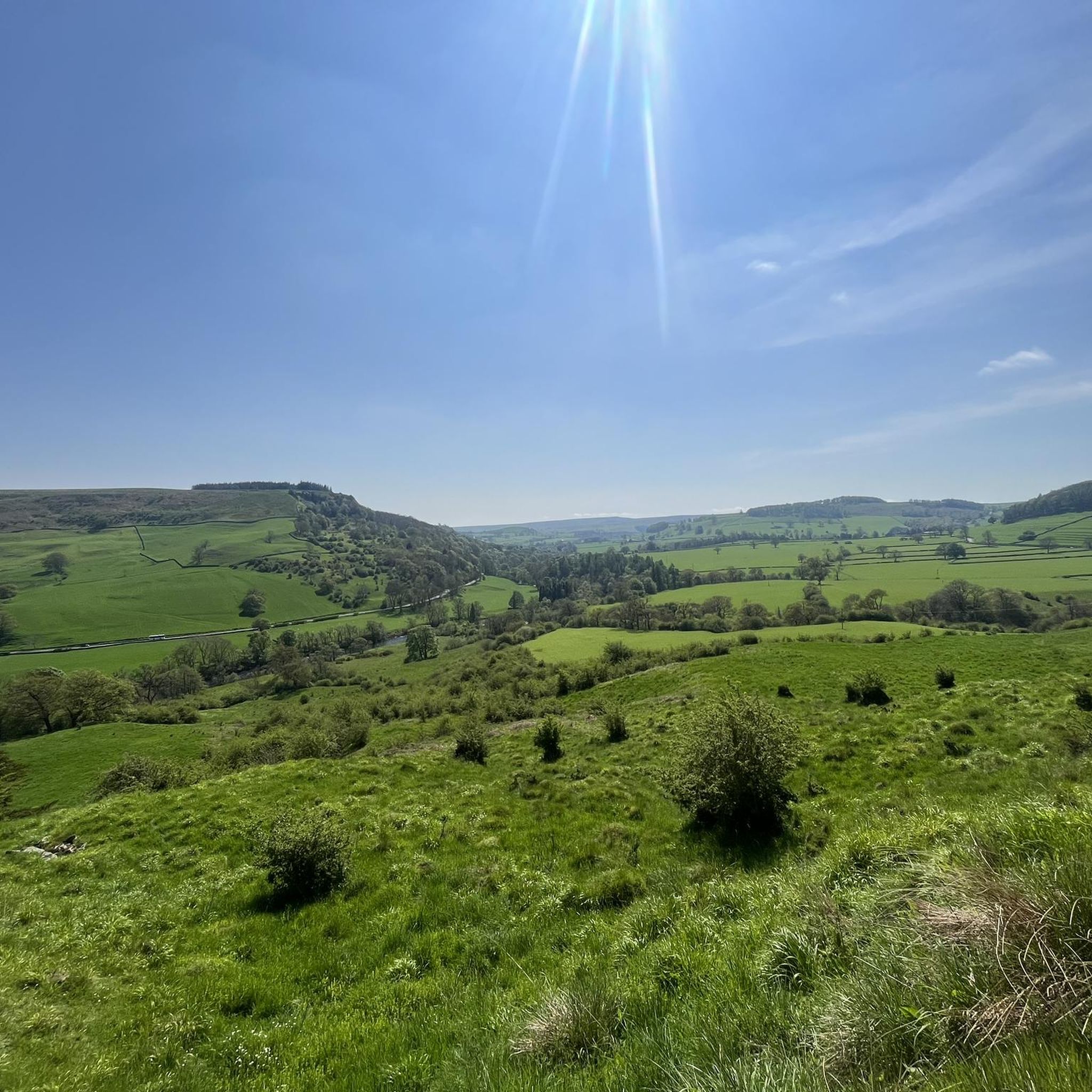
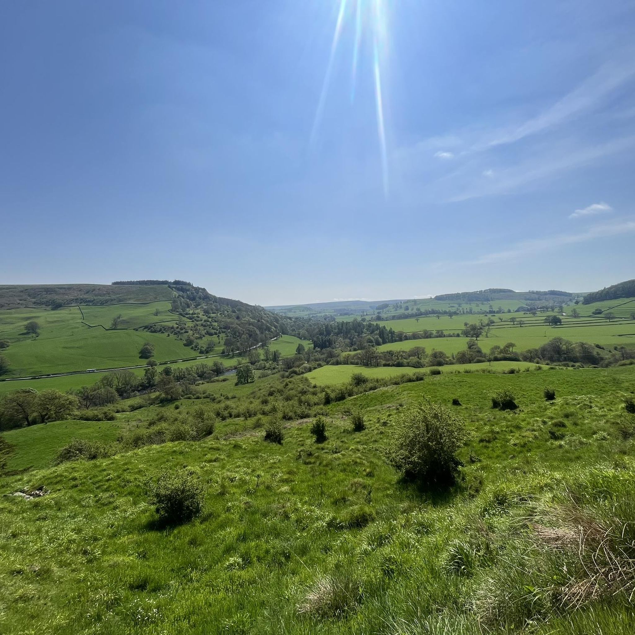
Hiking around Gayles offers a diverse landscape characterized by rolling hills, river valleys, and historical sites within the broader Yorkshire Dales National Park. The region features a mix of open moorland, wooded areas, and paths alongside natural water features like waterfalls. Trails often connect villages and provide views of the surrounding countryside.
Best hiking trails around Gayles
- The most popular hiking route is Marrick High and Low Hill and Old Waterwheel loop from Marske — Yorkshire Dales National Park,…
Last updated: June 24, 2026
4.6
(9)
19
hikers
Moderate hike. Good fitness required. Mostly accessible paths. Sure-footedness required.
4.6
(10)
64
hikers
7.93km
02:17
200m
190m
Moderate hike. Good fitness required. Easily-accessible paths. Suitable for all skill levels.

Sign up for free
4.7
(6)
24
hikers
4.50km
01:13
60m
60m
Easy hike. Great for any fitness level. Easily-accessible paths. Suitable for all skill levels.
4.0
(1)
24
hikers
16.0km
04:24
270m
270m
Moderate hike. Good fitness required. Easily-accessible paths. Suitable for all skill levels.
5.0
(1)
15
hikers
10.6km
03:01
240m
240m
Moderate hike. Good fitness required. Easily-accessible paths. Suitable for all skill levels.
Get access to more routes and recommendations from other explorers.
Sign up for free
Already have an account?
Our route recommendations are based on thousands of hikes, rides, and runs completed by other people on komoot.
Start today with a free account
Your next adventure awaits.
Login or Signup

Tips from the Community

A brilliant cairn on this spot, marking the junction of the footpath from Marske with the Applegarth Scar bridleway. There are terrific views from here to the south: over the River Swale to Thorpe Edge, Red Scar and West Wood.
1
0
The remains of two smelting (lead) mills are to be found here. In the Marrick Low Mill, a sycamore tree is growing out of the ruins, and the High Mill is on the hill above. The mill (at least the High one, not sure about the Low one) was built by Thomas Swinbourne around 1660. Mike Gill in his book "Swaledale, its Mines and Smelting Mills" describes it as the best-preserved 17th century smelting mill in Britain, perhaps in the world.
1
0
Right next to Pillimire Bridge is this Old Waterwheel. It's difficult to find more information on it, but Historic England has it listed as a Grade-II listed building. Apparently, it dates back to the 17th century and used to generate electricity for the nearby Skelton Hall.
1
0
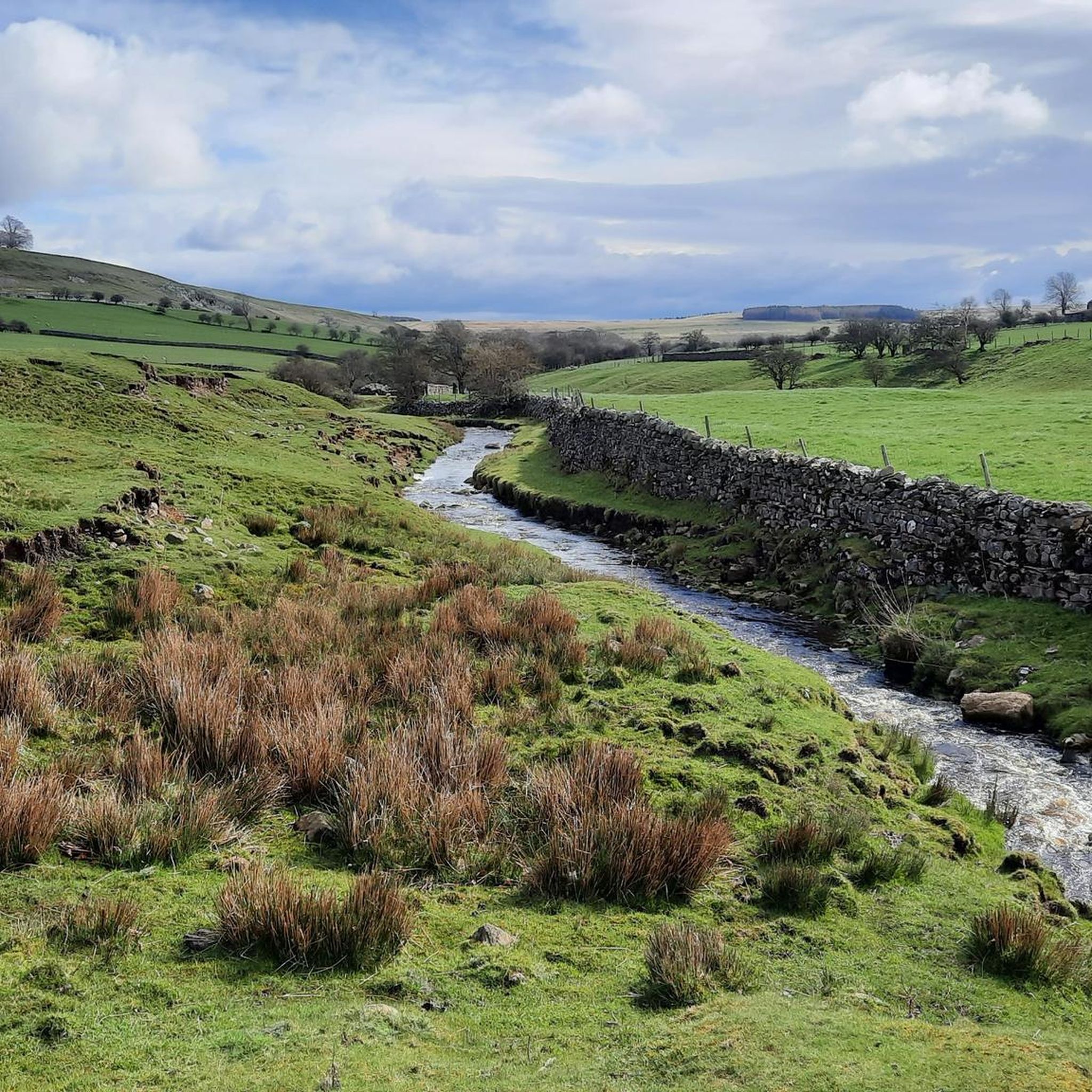
You're crossing here a stream that seems to have many different names. Here, it is indeed Ellers Beck, but upstream it's Dales Beck, before joining River Swale, it's Oxque Gill, and downstream it's North Gill! Whatever it's called, it's gorgeous.
3
0

There is a sign on the bench with a quote from Alfred Wainwright, in which he speaks highly of the city of Richmond. As a Coast to Coast walker you will also see that it is only 76.5 miles (123km) more to Robin Hood's Bay... so you already have 113.5 miles (more than 182km) in your legs.
1
0
In this wood, Robert Willance, a notable of Richmond, on a horseback hunt in 1606, chased by the descending fog, is said to have urged his horse to bring him home quickly, falling 200 feet in the process. His horse did not survive; the horseman miraculously did: he escaped with a broken leg.
0
0
This church, registered as a monument, dates back to the 12th century. In 1683 a lot of work was done on the church and in the 19th century the choir was rebuilt. Walkers can go to the back of the church for snacks, drinks and ... blister plasters. Of course you pay correctly (there is a clear price list) via the honesty box.
1
0

TP5115 - Newsham Moor S4320 County of Yorkshire Trig Pillar
0
0
Frequently Asked Questions
How many hiking trails are available around Gayles?
Gayles offers a comprehensive network of nearly 200 hiking trails. These routes cater to various skill levels, with a good mix of easy, moderate, and some more challenging options.
Are there easy hiking trails suitable for beginners in Gayles?
Yes, Gayles has over 70 easy hiking trails perfect for beginners or those looking for a relaxed walk. An example is the St. Edmund's Church – Orgate Force Waterfall loop from Marske, which is 2.8 miles long and features a waterfall.
Can I find trails with waterfalls in the Gayles area?
Absolutely. The region is known for its natural water features. You can explore routes like the Orgate Force Waterfall – St. Edmund's Church loop from Telfit Farm, which prominently features a notable waterfall.
Are there any circular walking routes around Gayles?
Many of the trails in Gayles are designed as circular routes, allowing you to start and end at the same point. A popular option is the Marrick High and Low Hill and Old Waterwheel loop from Marske, which covers varied terrain and historical features.
What kind of terrain can I expect on hikes around Gayles?
Hiking around Gayles offers diverse terrain, including rolling hills, river valleys, and open moorland. You'll also find wooded areas and paths alongside natural water features, providing a varied and engaging experience.
What are some interesting landmarks or attractions to see near the hiking trails?
The Gayles area, situated within the Yorkshire Dales National Park, is rich in historical sites and natural beauty. You can visit the Ruins of Easby Abbey, explore Richmond Market Town and Castle, or see the Ravensworth Castle Ruins. For a different experience, the Reeth Village Green offers a charming stop.
What do other hikers enjoy most about hiking in Gayles?
The area is highly rated by the komoot community, with an average score of 4.6 stars from over 580 reviews. Hikers often praise the diverse landscapes, from rolling hills and river valleys to historical sites, and the well-maintained paths that offer options for all abilities.
Are there any viewpoints or scenic spots along the trails?
Yes, many trails offer excellent viewpoints across the Yorkshire Dales. For example, the Newsham Moor Trig Point loop from Newsham provides elevated perspectives. You can also find scenic views of Richmond Castle from various points, such as the View of Richmond Castle from Low Bank Wood.
How long do hikes typically take in Gayles?
Hikes in Gayles vary greatly in length and duration. Easy trails like the St. Edmund's Church – Orgate Force Waterfall loop from Marske can be completed in about 1 hour 15 minutes, while moderate routes such as the Marrick High and Low Hill and Old Waterwheel loop from Marske typically take around 2 hours 40 minutes. Longer routes, like the Richmond Castle – Richmond Town Centre loop from Marske, can take over 4.5 hours.
What is the best time of year to go hiking in Gayles?
The Yorkshire Dales, where Gayles is located, offers beautiful hiking opportunities throughout the year. Spring brings wildflowers, summer provides longer daylight hours, and autumn showcases vibrant foliage. Winter hiking is also possible, though conditions can be more challenging with colder weather and potentially icy paths.
Are there any places to eat or get refreshments near the trails?
Yes, you'll find options for refreshments in the area. The Dales Bike Centre & Café and the Eppleby Village Shop & Tea Room are examples of places where you can stop for a break and a bite to eat.
Most popular attractions around Gayles

Get inspired with the komoot mobile app


Explore more
Browse the best Hikes in other regions.
