The best MTB trails around Sicklinghall
4.4
(177)
871
riders
86
rides
Mountain bike trails around Sicklinghall offer access to a diverse network of cycling routes within a picturesque rural setting. The area is characterized by scenic countryside, with varied terrain that includes both paved and unpaved segments. While Sicklinghall itself provides local paths, its strategic location offers gateways to more extensive mountain biking opportunities in the wider North Yorkshire region, including the Yorkshire Dales and North York Moors. This allows for a range of experiences from gentle rides to more challenging…
Last updated: August 18, 2026
4.8
(5)
20
riders
22.6km
01:44
300m
300m
Moderate mountain bike ride. Good fitness required. Advanced riding skills necessary.
5.0
(3)
19
riders
18.0km
01:10
160m
160m
Moderate mountain bike ride. Great for any fitness level. Advanced riding skills necessary.

Sign up for free
4.6
(7)
17
riders
Easy mountain bike ride. Great for any fitness level. Suitable for all skill levels.
7
riders
23.5km
01:28
260m
260m
Easy mountain bike ride. Great for any fitness level. Suitable for all skill levels.
5.0
(1)
7
riders
24.6km
01:45
230m
230m
Hard mountain bike ride. Great for any fitness level. Advanced riding skills necessary. Some portions of the route may require you to push your bike.
Get access to more routes and recommendations from other explorers.
Sign up for free
Already have an account?
Our route recommendations are based on thousands of hikes, rides, and runs completed by other people on komoot.
Start today with a free account
Your next adventure awaits.
Login or Signup
Tips from the Community

Extremely muddy and rocky, will be very sketchy on gravel bike and a no go on road bike. 25/11/2025
0
0

Traffic free route. Great for children with a stop off to play at”Devils Toenail “
0
0


Gentle stroll. Start with a bacon butty and coffee at the Castle pub but beware, they stop serving at mid-day.
0
0

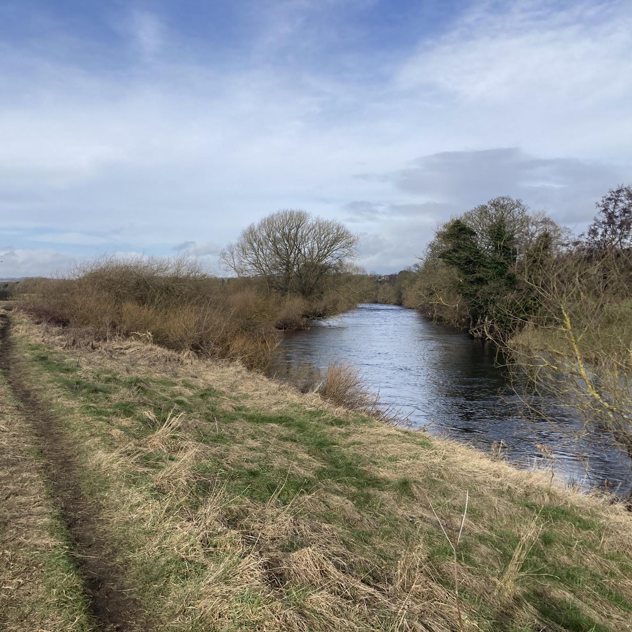
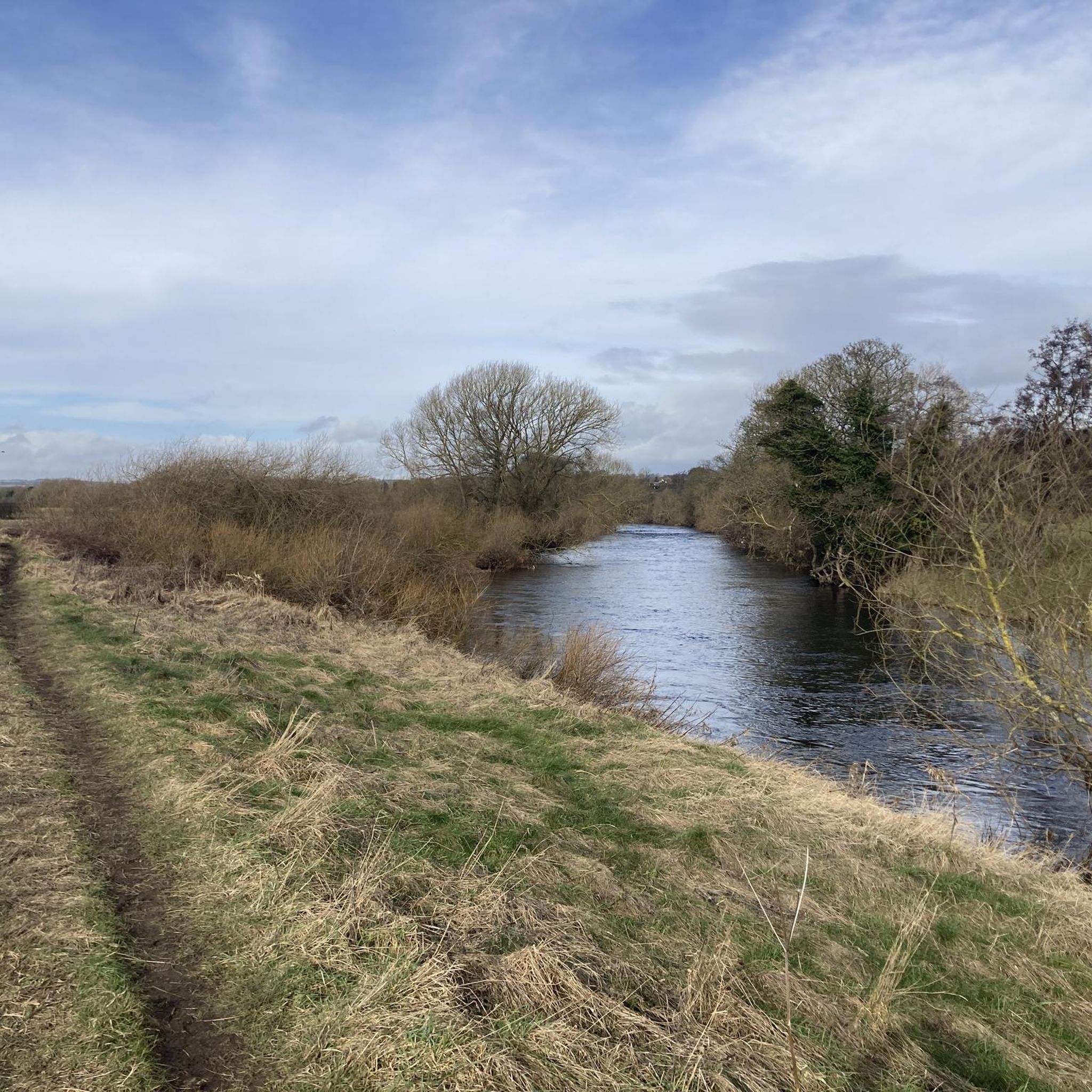
Woodhall Bridge is a beautiful five-span wrought iron truss that spans over the River Wharfe. The bridge was constructed in 1868 as a railway bridge by Joseph Whitham and Son of Leeds, it now acts as a bridleway carrying pedestrians and cyclists over in a scenic woodland area. It's a beautiful place to stop and catch your breath before continuing your meander along the river.
1
0

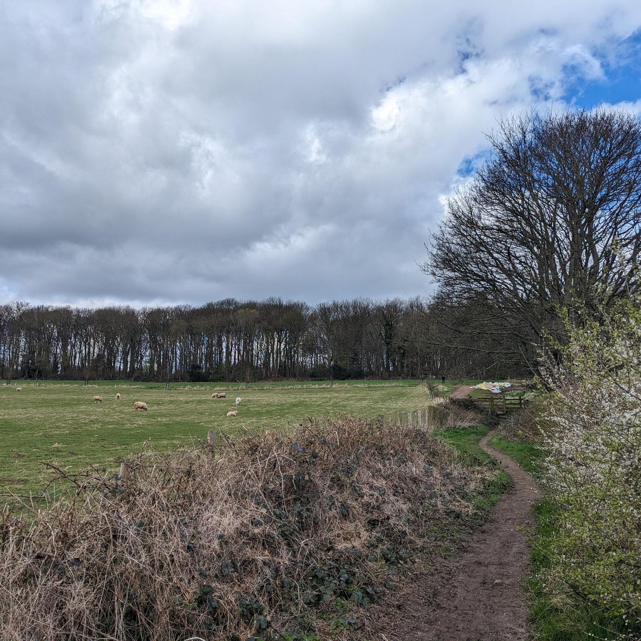
Previously thought to be a Roman Fort, quarry, or burial site, Pompocali (known by various names across different eras) held a presumption of potentially being quarried by the Romans, although no substantiating evidence exists apart from the adjacent Roman road. Yet, regardless of its historical origins, Pompocali stands as an exquisite locale, offering splendid vistas and an opportunity to ascend its conical hills and mounds, enhancing the experience of this picturesque site.
1
0
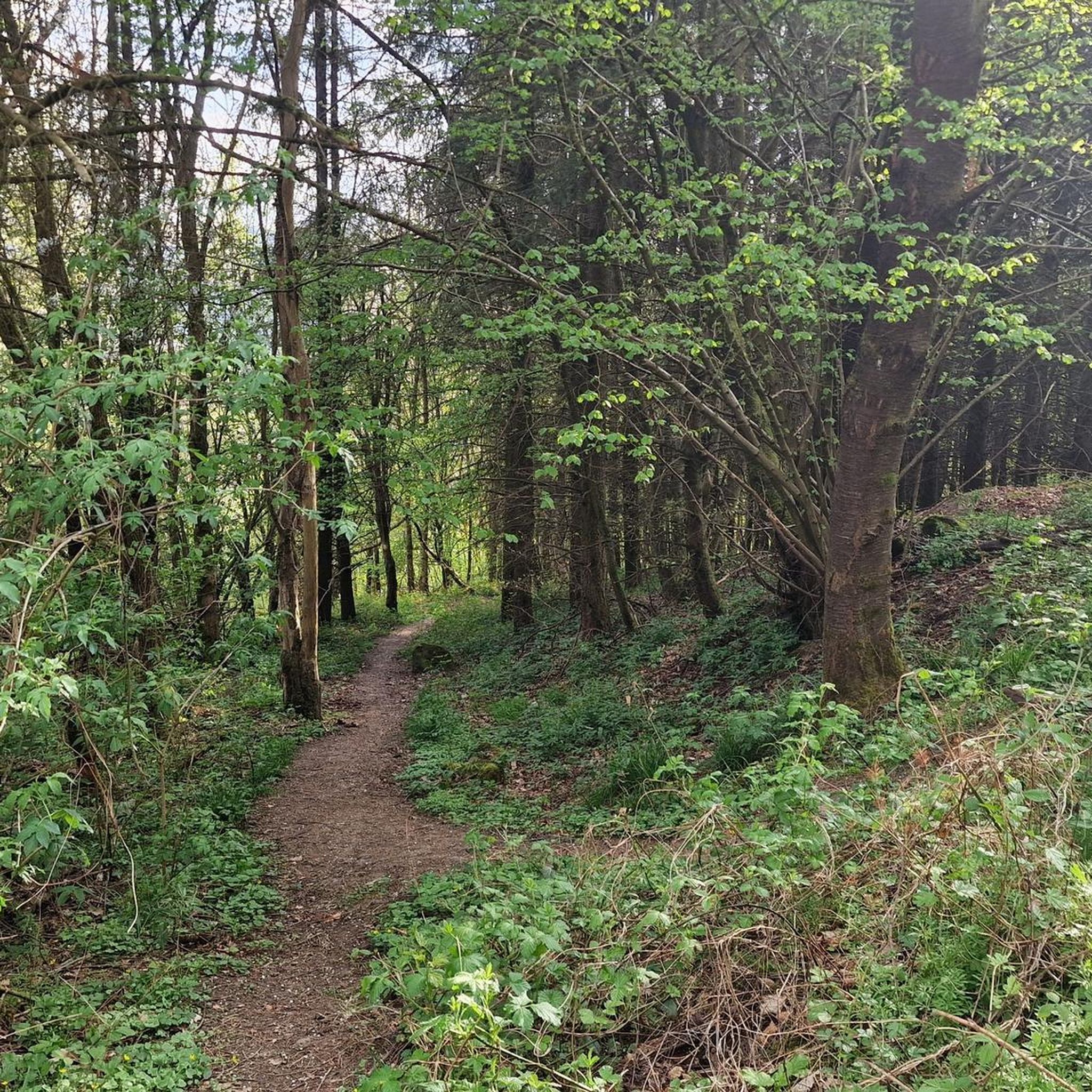
The pathway, alternatively referred to as the Harland Way, stretches approximately 3 miles alongside a formerly abandoned railway track. It commences with a segment bordered by trees, gradually unveiling expansive countryside vistas that offer delightful glimpses of the neighbouring farmlands. The journey then leads to the picturesque village of Spofforth, where charming 18th-century cottages grace the landscape, accompanied by the captivating presence of Spofforth Castle, which holds a rich history waiting to be explored.
1
1
Frequently Asked Questions
How many mountain bike trails are available around Sicklinghall?
There are over 90 mountain bike trails around Sicklinghall listed on komoot, offering a diverse range of experiences. These include 42 easy routes, 50 moderate routes, and 3 more challenging options for experienced riders.
Are there mountain bike trails suitable for beginners or families in the Sicklinghall area?
Yes, Sicklinghall offers several easy mountain bike trails perfect for beginners or family outings. A good option is the Wetherby Railway Path – Devil's Toenail Bike Park loop from Spofforth with Stockeld, which is an easy 9.2 km route. Many routes incorporate traffic-free paths, providing a safe and enjoyable experience.
What kind of terrain can I expect on mountain bike trails near Sicklinghall?
The terrain around Sicklinghall is quite varied, reflecting its rural setting. You can expect a mix of paved and unpaved segments, including quiet country lanes, bridleways, and some sections that may involve ground surfaces. While Sicklinghall itself offers scenic countryside rides, the wider North Yorkshire region, particularly the Yorkshire Dales and North York Moors, provides more challenging terrains with Roman roads, moorland singletrack, and technical woodland trails.
Are there any loop mountain bike trails around Sicklinghall?
Yes, many of the mountain bike trails around Sicklinghall are designed as loops, making them convenient for starting and ending at the same point. For example, the popular Christmas Tree Track – Traffic-Free Shared Trail loop from Sicklinghall is an 18 km circular route.
What do other mountain bikers enjoy most about the trails in Sicklinghall?
The mountain bike trails around Sicklinghall are highly rated by the komoot community, with an average score of 4.4 stars from over 190 reviews. Riders often praise the area's picturesque rural scenery, the variety of terrain, and the accessibility of routes for different skill levels. The network of cycling routes provides a great way to explore the North Yorkshire countryside.
Are there any notable natural features or attractions to see along the mountain bike trails?
Yes, the Sicklinghall area is rich in natural beauty and interesting landmarks. You might encounter unique geological formations like Plumpton Rocks, or enjoy views from Almscliffe Crag and Hetchell Crag. There are also several beautiful lakes nearby, such as Eccup Reservoir and Roundhay Lake, which can be incorporated into longer rides or visited separately.
What is the best time of year for mountain biking around Sicklinghall?
Mountain biking around Sicklinghall can be enjoyed throughout much of the year. Spring and autumn offer pleasant temperatures and vibrant scenery. Summer provides longer daylight hours, while winter rides are possible, though some unpaved sections might become muddy or wet, especially in areas like the Yorkshire Dales or North York Moors. Always check local weather and trail conditions before heading out.
Are there options for more challenging mountain bike rides near Sicklinghall?
While Sicklinghall itself offers moderate challenges, for more demanding mountain biking, you'll want to explore the wider North Yorkshire region. The Yorkshire Dales National Park, with its 900km of bridleways, offers challenging long climbs and technical sections. Similarly, the North York Moors, including areas like Yearsley Woods and Dalby Forest, provide technical woodland MTB, natural singletrack, and red/black graded routes for experienced riders.
Are there any mountain bike trails that include sections of the Wetherby Railway Path?
Yes, several routes in the area incorporate sections of the Wetherby Railway Path. A notable example is the Devil's Toenail Bike Park – Wetherby Railway Path loop from Wetherby, a 35.7 km trail that features varied terrain, including parts of this popular path.
Can I find cafes or pubs along the mountain bike routes near Sicklinghall?
Sicklinghall and nearby villages offer traditional English pubs and cafes where you can refuel. Many routes pass through or close to these amenities, especially in areas like Wetherby. It's a good idea to check the specific route details on komoot or local maps to plan your refreshment stops.
Are there any trails with significant descents or climbs?
Yes, some trails around Sicklinghall feature notable elevation changes. For instance, the Woodhall Bridge – Descent to the River loop from Sicklinghall includes a significant descent towards the river, offering an engaging ride. For more substantial climbs and descents, the wider Yorkshire Dales region is known for its challenging topography.
How long are the mountain bike trails around Sicklinghall typically?
The mountain bike trails around Sicklinghall vary in length to suit different preferences. You can find shorter routes, such as the 9.2 km Wetherby Railway Path – Devil's Toenail Bike Park loop, to longer excursions like the 35.7 km Devil's Toenail Bike Park – Wetherby Railway Path loop, which takes approximately 2 hours 20 minutes to complete.
Most popular attractions around Sicklinghall

Get inspired with the komoot mobile app


Explore more
Browse the best MTB trails in other regions.
