The best running trails around Darley And Menwith
4.2
(39)
5,692
runners
173
runs
Jogging routes around Darley And Menwith are set within the picturesque Nidderdale Area of Outstanding Natural Beauty (AONB). The region is characterized by diverse landscapes, including picturesque moorland, dramatic gritstone formations, and tranquil waters. Runners can explore varied terrain, from paths weaving through unique rock formations like Brimham Rocks to serene routes along the Washburn Valley Reservoirs and the River Wharfe. This area provides a rich tapestry of natural beauty for running enthusiasts.
Best jogging routes around Darley And Menwith
…Last updated: October 10, 2026
2
runners
11.9km
01:17
210m
210m
Jog this moderate 7.4-mile loop from Darley Head, exploring Nidderdale's varied landscapes, Darley Mill, and St. Jude's Church.
157
runners
12km
01:19
230m
230m
Moderate run. Good fitness required. Mostly paved surfaces. Suitable for all skill levels.

29
runners
Moderate run. Good fitness required. Mostly paved surfaces. Suitable for all skill levels.
13
runners
12.3km
01:19
130m
130m
Moderate run. Good fitness required. Mostly paved surfaces. Suitable for all skill levels.
9
runners
14.6km
01:34
180m
180m
Moderate run. Good fitness required. Mostly paved surfaces. Suitable for all skill levels.
Get access to more routes and recommendations from other explorers.
Already have an account?
Our route recommendations are based on thousands of hikes, rides, and runs completed by other people on komoot.
Start today with a free account
Your next adventure awaits.

Tips from the Community


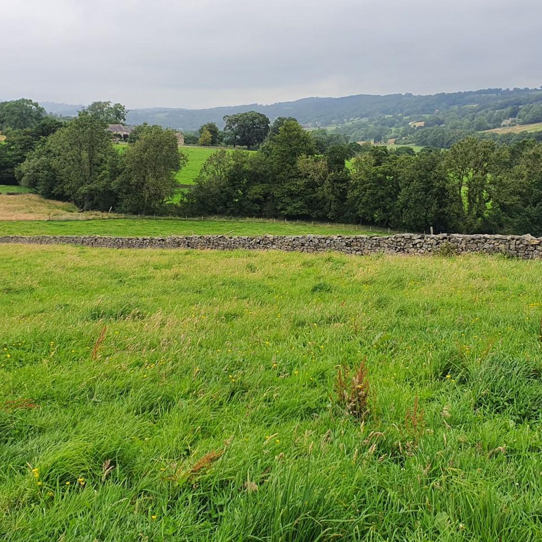
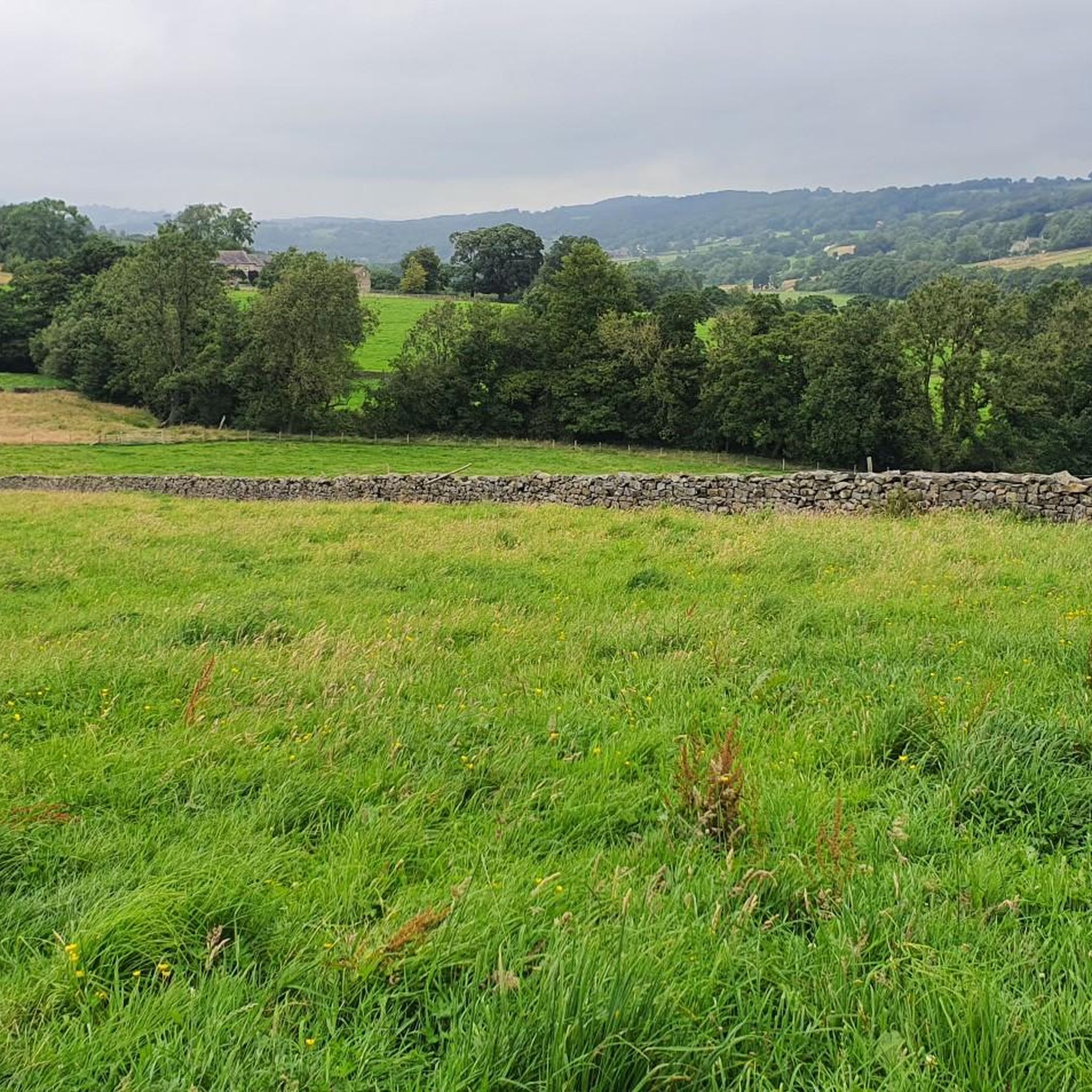
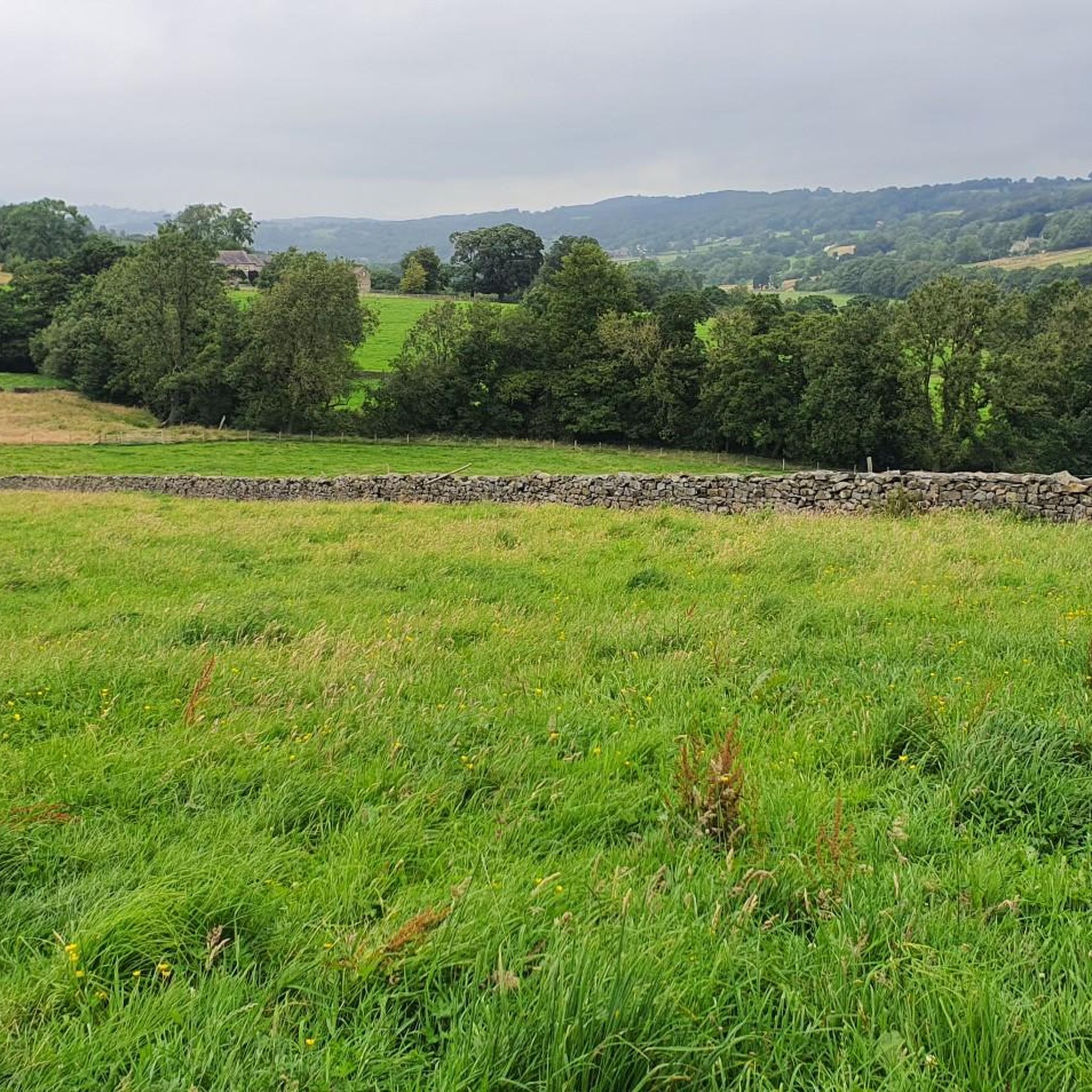
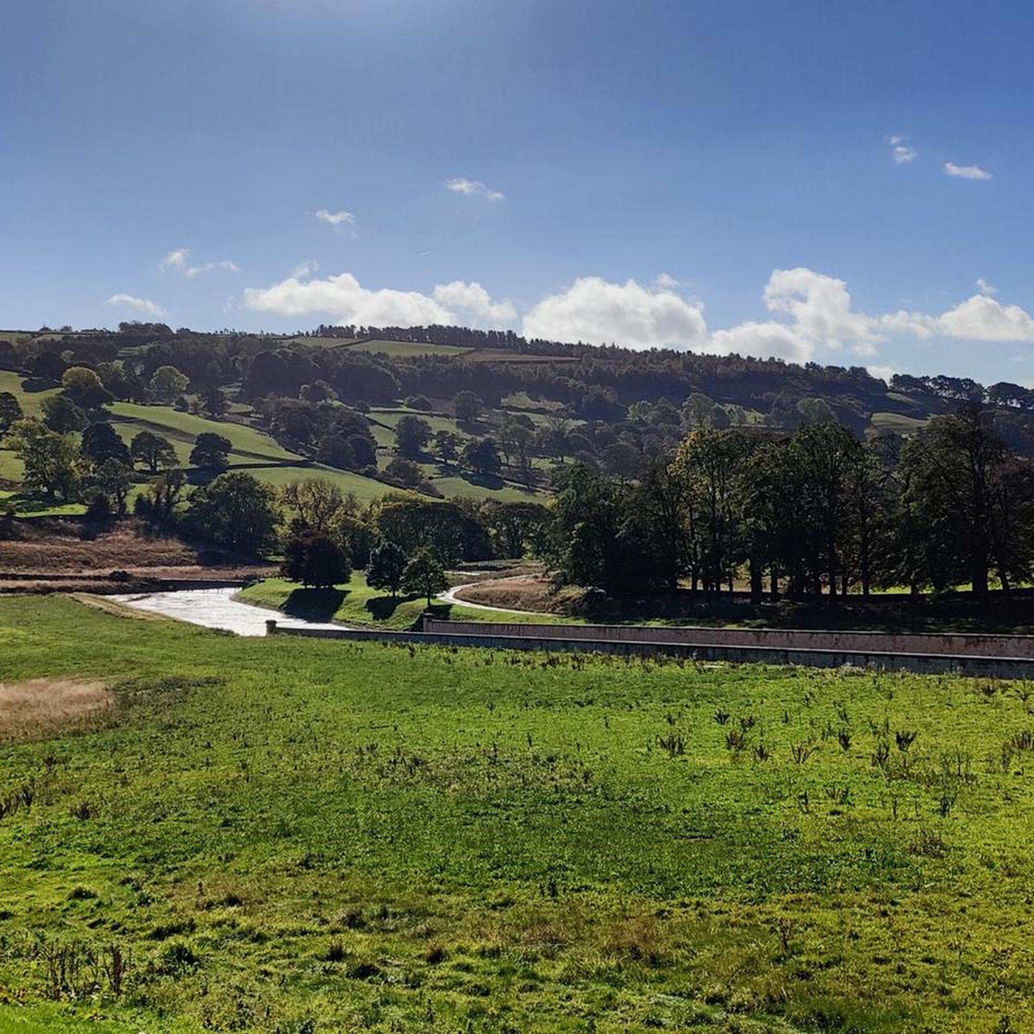
Glasshouses Mill, which the dam served, was initially a corn mill but later transitioned to flax processing in the early 1800s. The dam was built in 1850 by brothers John and George Metcalfe, who expanded the mill and its operations. The mill was a prosperous business, employing around 250 people and known for its responsible employment practices. By the late 19th century, the decline of linen led local mills to produce jute and hemp, but Glasshouses Mill continued flax spinning until the death of George Metcalfe Jr. in 1898. Following his death, the mill struggled, eventually declaring bankruptcy in 1907. The dam is now a recreational area, offering opportunities for fishing, skating in winter, and water sports in summer, although it was literally bone dry when I passed in May 2025 (see photos).
0
0
Quintessentially pretty market town, arrive early to find suitable parking, best place is next to the showground on the southern side of the bridge over the River Nidd. Honesty box only (no payment cards), cheap at £1 up to 4 hours and £2 all day (spring 2025 prices). The southern end of Nidderdale around Pateley Bridge has one of the densest concentrations of public footpaths in North Yorkshire, so loads of routeing options. See the North Yorks public rights of way map at https://maps.northyorks.gov.uk/connect/analyst/mobile/#/main?mapcfg=Out_and_About
1
0
Great views both up and downstream, with parking on both sides of the bridge. The car park on the southern side, next to the cricket pitch and showground, is quite big and now relies on an honesty box for payment.
1
0
Set below the imposing Castlestead, a 19th century house that has been used as a boarding school, hydropathic establishment, and to house Officers during the Second World War and then children from Hull Sailors' Orphanage. Great unobstructed views of the weir from the footpath.
1
0
Cracking location from which to explore. Reasonably well-sized car park (about 25 spaces) immediately accessible from the A59. Head south to walk around Fewston and Swinsty Reservoirs along very easy and well-maintained tracks, or even better, head north up the River Washburn for a serene woodland walk along the babbling river's edge, to eventually pop out at the very imposing face of Thruscross Reservoir dam. If this car park is full, then try Swinsty Moor Plantation or Fewston village if heading south, or try the bigger car park at Thruscross Reservoir if heading north.
1
0
If you are enthusiastic enough to walk around all three reservoirs (Thruscross, Fewston, and Swinsty), clocking in at 15 miles, then you will see that Thruscross has the most spectacular dam of the three. If you follow the track from the car park at the western end of the dam, to the south towards the River Washburn, a track that descends quite steeply, then you will be rewarded with imposing views of the face of the dam.
1
0
Frequently Asked Questions
How many running routes are available around Darley and Menwith?
There are over 180 running routes in the Darley and Menwith area, catering to various fitness levels. You'll find approximately 15 easy routes, around 140 moderate routes, and over 30 challenging options to explore.
Are there easy running routes suitable for beginners or families?
Yes, the region offers several easy running routes perfect for beginners or families. For example, the Blubberhouses Car Park – View of Fewston Reservoir loop from Blubberhouses is a moderate route that is relatively short at 6.9 km with minimal elevation gain, making it a good option for a less strenuous run along the tranquil waters of Fewston Reservoir.
What kind of landscapes can I expect to see while jogging in this area?
Jogging around Darley and Menwith offers a diverse range of stunning landscapes within the Nidderdale Area of Outstanding Natural Beauty (AONB). You can expect picturesque moorland, dramatic gritstone rock formations like Brimham Rocks, and tranquil waters along the Washburn Valley Reservoirs and the River Wharfe. The routes often wind through varied countryside, providing inspiring backdrops for your run.
Are there any circular running routes in Darley and Menwith?
Many of the running routes in the Darley and Menwith area are circular, allowing you to start and finish at the same point. A popular example is the Ross Bridge and St Jude's Church loop from Darley Head, which covers 11.9 km and explores diverse Nidderdale landscapes, including Darley Mill.
What do other runners enjoy most about jogging in Darley and Menwith?
The running trails in Darley and Menwith are highly rated by the komoot community, with an average score of 4.5 stars from over 30 reviews. Runners often praise the varied terrain, stunning views, and the opportunity to connect with nature and history. Over 5,800 runners have used komoot to explore this beautiful region.
Are there any notable landmarks or attractions along the running routes?
Yes, several routes pass by or near interesting landmarks. You might encounter the unique gritstone formations of Brimham Rocks, the historic Darley Mill Centre, or the tranquil Washburn Valley Reservoirs. For those interested in natural features, you can also find highlights like Posforth Gill Waterfall or the Simon's Seat summit cairn, which can be incorporated into longer runs.
Can I find running routes that offer scenic viewpoints?
Absolutely. The Darley and Menwith area, being part of the Nidderdale AONB, is rich in scenic vistas. Routes often traverse moorland and elevated areas, providing spectacular views across the Yorkshire countryside. The Queen's Head Inn – Old Stone Bridge loop from Felliscliffe, for instance, offers varied countryside views of the surrounding AONB.
Are there dog-friendly running trails in the area?
Many of the trails and public footpaths around Darley and Menwith are dog-friendly, allowing you to enjoy a run with your canine companion. However, it's always recommended to keep dogs on a lead, especially when passing through livestock areas or nature reserves, and to be mindful of local signage.
Where can I find parking for the running trails?
Parking is generally available at various points throughout the region, particularly near popular trailheads, villages like Darley and Pateley Bridge, and attractions such as Brimham Rocks or the Washburn Valley Reservoirs. Look for designated car parks or roadside parking where permitted, but always check local regulations.
Are there any running routes that pass by water features like reservoirs or rivers?
Yes, the tranquil waters of Fewston and Swinsty Reservoirs in the Washburn Valley offer scenic paths perfect for running. The Fewston Reservoir Dam – View of Fewston Reservoir loop from Thruscross is a popular 12.3 km trail that leads directly through this serene waterside environment. The nearby River Wharfe also provides opportunities for picturesque riverside runs.
What is the average length of running routes in Darley and Menwith?
The running routes in Darley and Menwith vary significantly in length. While there are shorter options, many popular trails, such as the Ross Bridge and St Jude's Church loop from Darley Head, are around 12 km (7.5 miles) long, offering a good workout and ample time to enjoy the scenery.
Can I find running routes that incorporate historical sites?
While not directly on every running route, the region allows for combining natural beauty with historical exploration. Longer excursions might lead you towards historic landmarks like Fountains Abbey or Bolton Abbey, which offer extensive grounds for walking and can be linked with running routes from areas like Brimham Rocks or along the River Wharfe.
Most popular routes around Darley And Menwith
Most popular attractions around Darley And Menwith

Get inspired with the komoot mobile app


Explore more
Browse the best Running Trails & Routes in other regions.
