The best running trails around Marton-Le-Moor
4.5
(24)
1,820
runners
146
runs
Jogging around Marton-Le-Moor offers access to a tranquil rural landscape in North Yorkshire, characterized by picturesque countryside and well-established trails. The region provides a serene environment for outdoor pursuits, with quiet roads and footpaths directly around the village. Nearby, the North York Moors National Park presents diverse terrain including forests and moors, while the Fountains Abbey estate and River Ure offer scenic routes through historical parkland and along waterways.
Best jogging routes around Marton-Le-Moor
- The most popular jogging route is…
Last updated: May 25, 2026
50
runners
Moderate run. Good fitness required. Mostly paved surfaces. Suitable for all skill levels.
16
runners
Easy run. Great for any fitness level. Mostly paved surfaces. Suitable for all skill levels.

Sign up for free
4.5
(2)
11
runners
25.7km
02:39
90m
90m
Hard run. Very good fitness required. Mostly paved surfaces. Suitable for all skill levels.
9
runners
24.0km
02:37
170m
170m
Hard run. Very good fitness required. Mostly paved surfaces. Suitable for all skill levels.
7
runners
8.87km
00:55
30m
30m
Moderate run. Good fitness required. Mostly paved surfaces. Suitable for all skill levels.
Get access to more routes and recommendations from other explorers.
Sign up for free
Already have an account?
Our route recommendations are based on thousands of hikes, rides, and runs completed by other people on komoot.
Start today with a free account
Your next adventure awaits.
Login or Signup
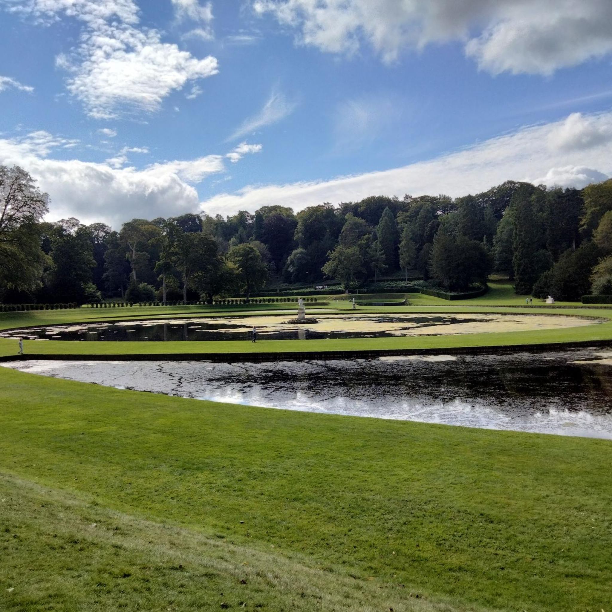
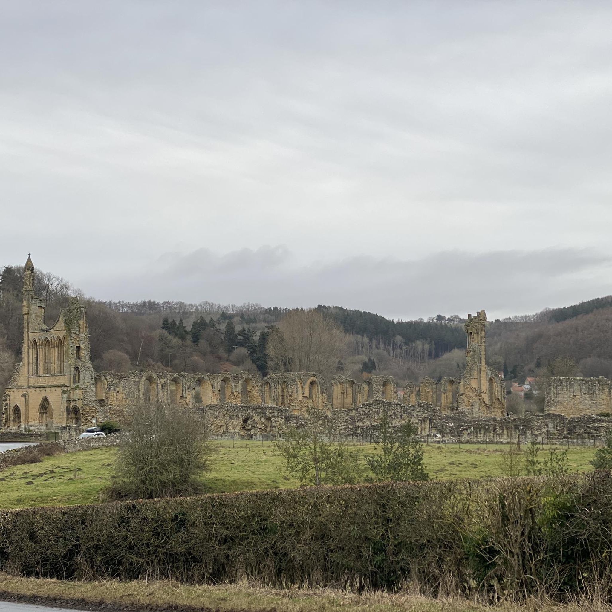
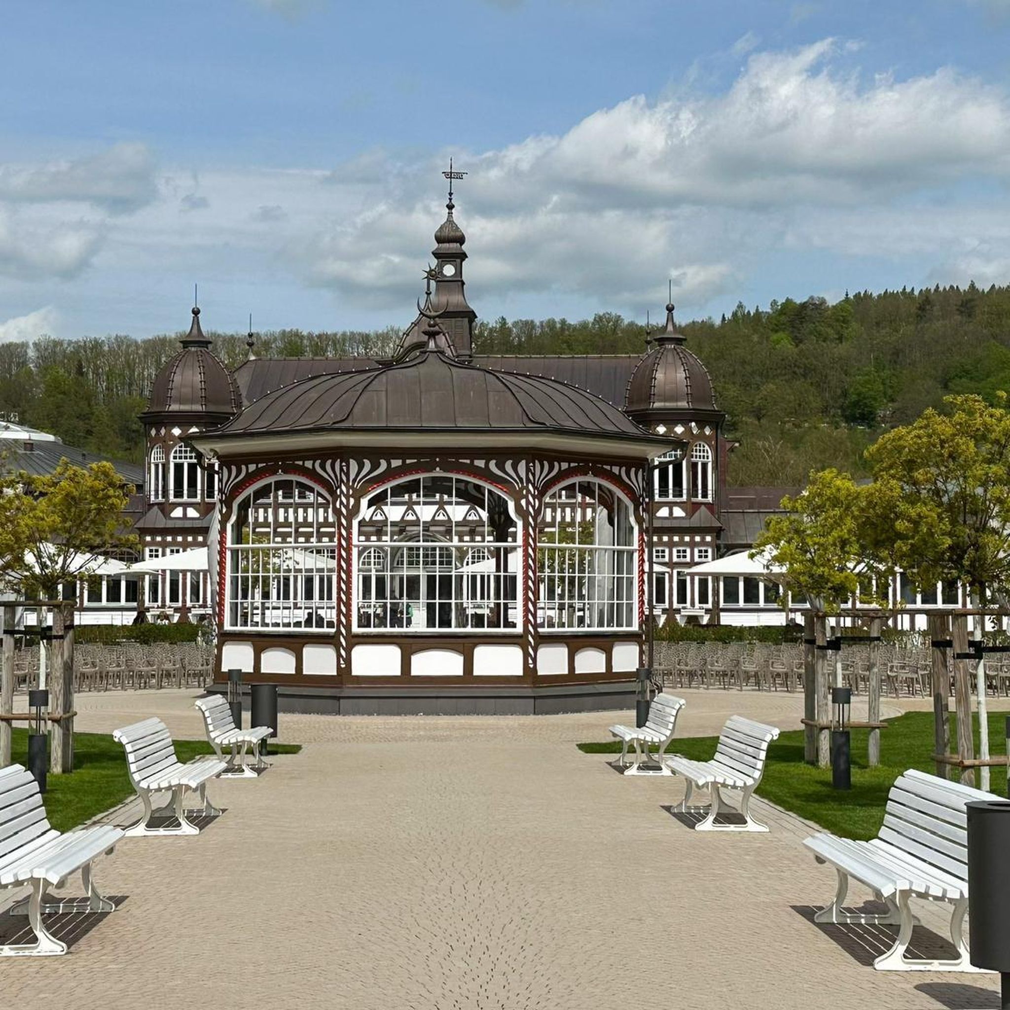

Tips from the Community

The map is situated close to the church and shop
0
0

The Devil's Arrows are three aligned standing stones. The standing stone alignment consists of some of the tallest standing stones in the United Kingdom. Erected during the Stone Age and distinctively grooved by millennia of rainfall, the tallest southernmost stone is 22.5 feet (6.85 m) in height, making this the second tallest menhir in the United Kingdom.
0
0

In the search for a worthy patronage for this church, the initial choice was the Archangel Michael, whose name (from the Hebrew language) means "Who is like God?" However, it was then decided that it could not hurt to significantly increase the number of intercessors at God's throne for this church and its parishioners. Thus, the idea arose not to choose just one patron saint, but to expand the patronage to include the entire heavenly host (i.e., "All Angels").
0
0
St Michael and All Angels' Church, Littlethorpe is a Grade II listed parish church in the Church of England in Littlethorpe, North Yorkshire England.
1
0
Kirkgate is a narrow, winding street that has always been of great importance in the life and history of Ripon as it is the main thoroughfare between the Market Place and the Cathedral
1
0

Nice village with great cafe/post office - coffee and cake good -also do hot and cold sandwiches. Pub looks nice but didn't go in.
0
0
Great place to stop for a snack and drink
0
0

The Devil's Arrows are three standing stones just outside Boroughbridge and next to the A1. The stones are millstone grit, thought to have been sourced at Plumpton Rocks near Knaresborough, about 9 miles away. Legend has it that the Devil hurled the stones at nearby Aldborough but they fell short and they landed here. The tallest is 22.5ft, which is taller than stonehenge and the tallest standing stone in the UK after the monolith at Rudstone. It is believed there was once five stones but the fifth was removed in the hope that treasure was buried at its base.
0
0
Frequently Asked Questions
How many running routes are available around Marton-le-Moor?
There are over 150 running routes around Marton-le-Moor, offering a wide variety of options for all skill levels. The komoot community has explored these trails over 1800 times, providing an average rating of 4.5 stars.
Are there any easy running routes suitable for beginners or a relaxed jog?
Yes, Marton-le-Moor offers several easy running routes. One popular choice is the Canal Reedbed loop from North Yorkshire, which is about 2.8 miles (4.5 km) long with minimal elevation gain. Another excellent option is the Boroughbridge Weir and Canal – River Ure Riverside Rest Area loop from Boroughbridge, an easy 2.9 miles (4.7 km) path along the River Ure.
What kind of terrain can I expect on the running trails in this area?
The running trails around Marton-le-Moor feature a diverse range of terrain. You'll find quiet roads and footpaths directly around the village, scenic riverside paths along the River Ure and canals, and more varied landscapes including forests and moors within easy reach in the North York Moors National Park. Many routes offer a mix of paved and unpaved surfaces.
Are there any long-distance running routes for experienced runners?
Absolutely. For those looking for a longer challenge, the Ripon Canal Towpath – River Ure Bridge, Ripon loop from North Yorkshire is a difficult 16.0 miles (25.8 km) trail. Another demanding option is the Ripon Canal Towpath – Ripon Canal Basin loop from North Yorkshire, spanning about 14.7 miles (23.7 km) with significant elevation changes.
What are some scenic landmarks or attractions I can see while running near Marton-le-Moor?
The region is rich in natural beauty and historical sites. You can run through the stunning Studley Royal Deer Park, part of the Fountains Abbey estate, where you might spot deer. The Fountains Abbey itself is a UNESCO World Heritage site with extensive footpaths. Other notable sights include the historic The Devil's Arrows and the picturesque Seven Bridges Valley along the River Skell.
Are there family-friendly running routes suitable for children?
Yes, many of the easier, flatter routes along the canals and rivers are suitable for families. The Boroughbridge Weir and Canal – River Ure Riverside Rest Area loop from Boroughbridge is a great example, offering a pleasant and relatively short riverside path that can be enjoyed by all ages.
Can I bring my dog on the running trails around Marton-le-Moor?
Many trails in the North Yorkshire countryside are dog-friendly, especially those on public footpaths and bridleways. However, it's always recommended to keep dogs on a lead, particularly when passing through farmland with livestock or in areas with ground-nesting birds. Always check local signage for specific restrictions.
What is the best time of year to go running in Marton-le-Moor?
The spring and autumn months generally offer the most pleasant conditions for running in North Yorkshire, with milder temperatures and beautiful scenery. Summer can be lovely, but be prepared for warmer weather. Winter running is possible, but trails can be muddy or icy, especially on unpaved sections, so appropriate footwear is essential.
Are there options for circular running routes?
Yes, many of the routes listed in the guide, such as the Ripon Waterside & Marina loop from North Yorkshire and the Canal Reedbed loop from North Yorkshire, are designed as circular paths, allowing you to start and finish at the same point without retracing your steps.
Where can I find parking for the running routes near Marton-le-Moor?
Parking availability varies by route. For routes starting in towns like Ripon or Boroughbridge, you'll typically find public car parks. For trails closer to Marton-le-Moor, roadside parking might be available, but it's always best to check specific route details or local maps beforehand to ensure convenient and legal parking.
Are there any amenities like pubs or cafes along the running routes?
While Marton-le-Moor itself is a small village, routes that pass through or near larger towns like Ripon or Boroughbridge will offer access to various amenities, including pubs, cafes, and shops. For example, routes around Ripon Canal Basin provide opportunities to stop for refreshments.
What makes running in Marton-le-Moor unique compared to other areas?
Running around Marton-le-Moor offers a unique blend of tranquil rural landscapes, historic estates, and scenic river and canal paths. Its strategic location provides easy access to the expansive North York Moors National Park, offering diverse terrain from gentle riverside jogs to more challenging moorland runs, all within a peaceful North Yorkshire setting.
Most popular routes around Marton-Le-Moor
Most popular attractions around Marton-Le-Moor

Get inspired with the komoot mobile app


Explore more
Browse the best Running Trails & Routes in other regions.
