The best running trails around Hartwith Cum Winsley
4.5
(44)
6,347
runners
330
runs
Jogging around Hartwith Cum Winsley offers diverse landscapes within North Yorkshire, England. The region is characterized by picturesque moorland, dramatic gritstone rock formations like Brimham Rocks, and tranquil waters of the Washburn Valley, including Fewston and Swinsty Reservoirs. Situated within the lower Nidderdale Area of Outstanding Natural Beauty, the terrain provides a mix of well-maintained paths and more challenging routes with varied elevation.
Best jogging routes around Hartwith Cum Winsley
- The most popular jogging route is Brimham Rocks & Brimham…
Last updated: July 7, 2026
4.0
(1)
2
runners
6.37km
00:44
90m
90m
Moderate run. Good fitness required. Mostly paved surfaces. Suitable for all skill levels.
2
runners
11.9km
01:17
210m
210m
Moderate run. Good fitness required. Mostly paved surfaces. Suitable for all skill levels.

Sign up for free
11
runners
Hard run. Very good fitness required. Mostly paved surfaces. Suitable for all skill levels.
5.0
(1)
6
runners
19.7km
02:21
510m
510m
Hard run. Very good fitness required. Mostly accessible paths. Some sure footedness required.
9
runners
14.6km
01:34
180m
180m
Moderate run. Good fitness required. Mostly paved surfaces. Suitable for all skill levels.
Get access to more routes and recommendations from other explorers.
Sign up for free
Already have an account?
Our route recommendations are based on thousands of hikes, rides, and runs completed by other people on komoot.
Start today with a free account
Your next adventure awaits.
Login or Signup
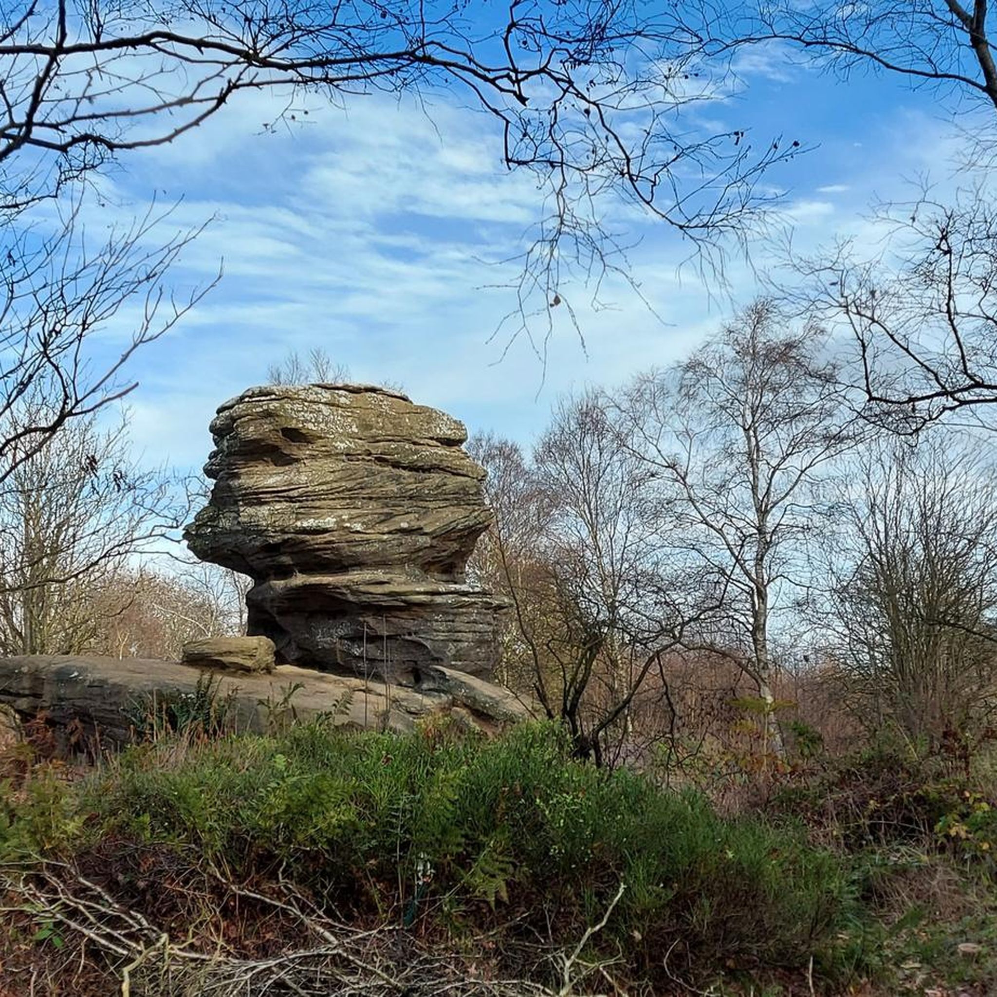
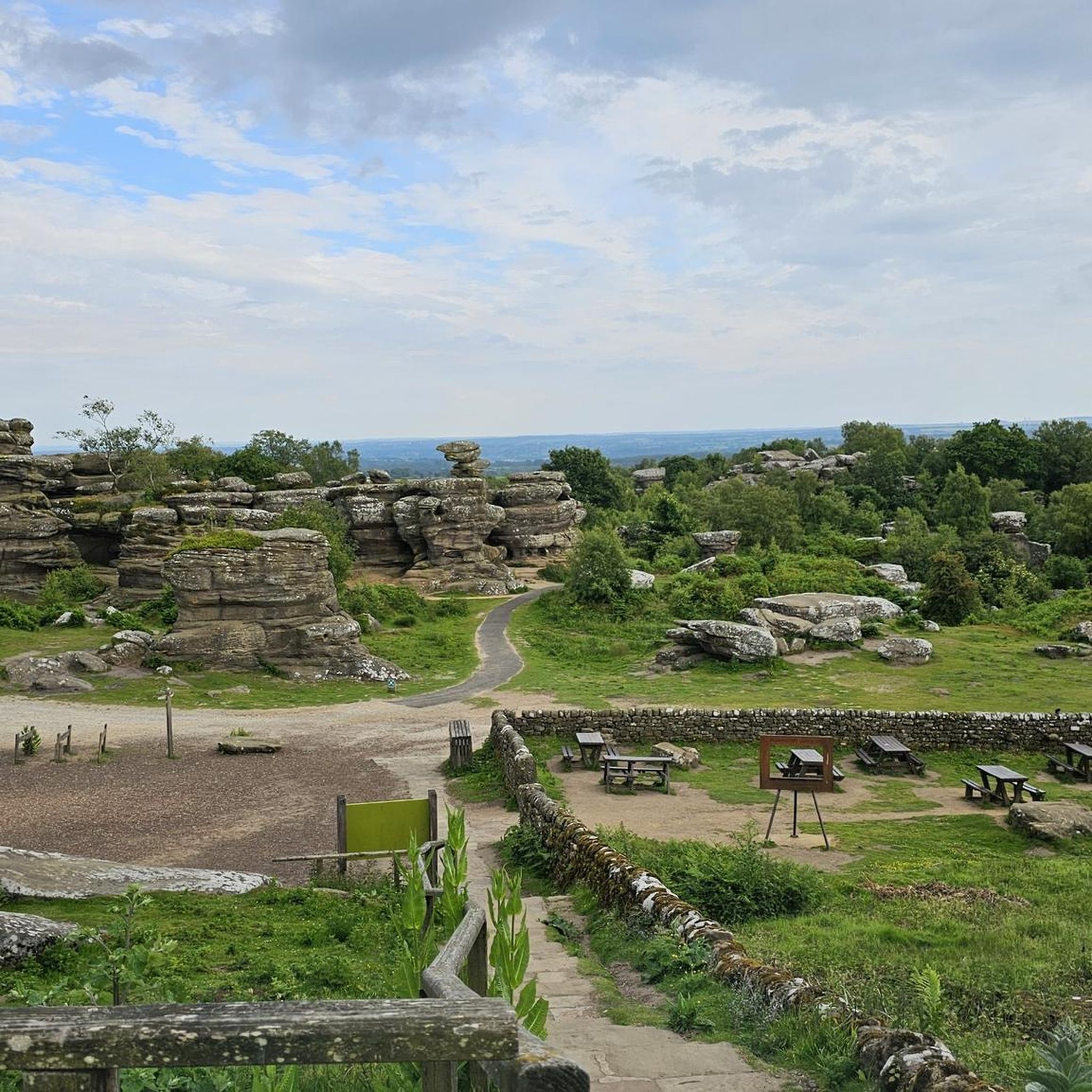

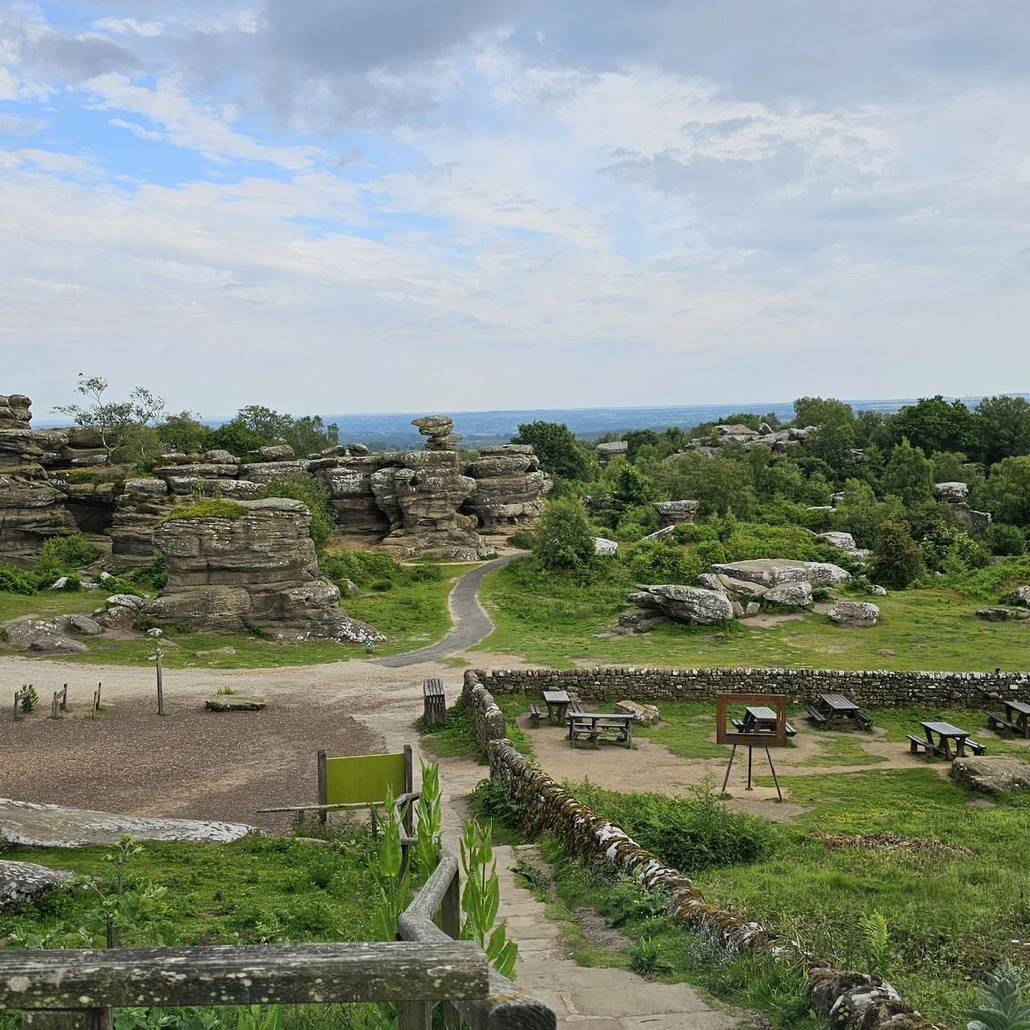

Tips from the Community

Glasshouses Mill, which the dam served, was initially a corn mill but later transitioned to flax processing in the early 1800s. The dam was built in 1850 by brothers John and George Metcalfe, who expanded the mill and its operations. The mill was a prosperous business, employing around 250 people and known for its responsible employment practices. By the late 19th century, the decline of linen led local mills to produce jute and hemp, but Glasshouses Mill continued flax spinning until the death of George Metcalfe Jr. in 1898. Following his death, the mill struggled, eventually declaring bankruptcy in 1907. The dam is now a recreational area, offering opportunities for fishing, skating in winter, and water sports in summer, although it was literally bone dry when I passed in May 2025 (see photos).
0
0
The public footpath on the Ordnance Survey map is quite set back from the cliffs (some 150m or so), but there is an easily followed path along the cliff edge, which runs from the side of the television booster mast at Abraham Crags. There are some fabulous views to be taken in, but they are intermittent in spring/summer due to all the vegetation obscuring some of the views.
1
0
The folly, also known as "Two Stoops" or "The Stoops," is a Grade II listed structure with a distinct, L-shaped design that evokes the ruins of a church, perhaps an east window or a crossing. Situated at the top of Nought Bank, there are expansive views of Pateley Bridge, the surrounding dale, and the Nidderdale countryside. Commissioning a folly to provide employment during a recession was a relatively common practice in the Victorian era.
1
0
Quintessentially pretty market town, arrive early to find suitable parking, best place is next to the showground on the southern side of the bridge over the River Nidd. Honesty box only (no payment cards), cheap at £1 up to 4 hours and £2 all day (spring 2025 prices). The southern end of Nidderdale around Pateley Bridge has one of the densest concentrations of public footpaths in North Yorkshire, so loads of routeing options. See the North Yorks public rights of way map at https://maps.northyorks.gov.uk/connect/analyst/mobile/#/main?mapcfg=Out_and_About
1
0
If you can stomach getting up very early for hikes and runs, then you will have the place to yourself. Absolutely stunning at around 6-7am in the early morning May sunshine.
1
0
Great views both up and downstream, with parking on both sides of the bridge. The car park on the southern side, next to the cricket pitch and showground, is quite big and now relies on an honesty box for payment.
1
0
Set below the imposing Castlestead, a 19th century house that has been used as a boarding school, hydropathic establishment, and to house Officers during the Second World War and then children from Hull Sailors' Orphanage. Great unobstructed views of the weir from the footpath.
1
0

Drinking water is available for free and there is toilets and hot drinks and cold
0
0
Frequently Asked Questions
How many running routes are available in the Hartwith Cum Winsley area?
There are over 300 running routes around Hartwith Cum Winsley, offering a wide variety of options for different preferences and fitness levels. The komoot community has explored more than 325 trails in the region.
What kind of terrain can I expect on the running trails around Hartwith Cum Winsley?
The terrain is quite diverse, ranging from picturesque moorland and dramatic gritstone rock formations, such as Brimham Rocks, to tranquil paths along the Washburn Valley and reservoirs. You'll find a mix of well-maintained paths and more challenging routes with varied elevation, all set within the scenic Nidderdale Area of Outstanding Natural Beauty.
Are there running routes suitable for different fitness levels?
Yes, the area caters to various fitness levels. You can find 29 easy routes, 247 moderate routes, and 49 difficult routes. Whether you're looking for a gentle jog or a challenging long-distance run, there are options available.
Are there any notable landmarks or natural features to see while running?
Absolutely! Many routes offer stunning sights. You can run past the unique gritstone outcrops of Brimham Rocks, explore the serene Fewston and Swinsty Reservoirs in the Washburn Valley, or discover the historic Dob Park Bridge. Other points of interest include Lippersley Pike summit cairn and How Hill and St. Michael's Church.
Can I find routes with scenic viewpoints in the area?
Yes, the region boasts several scenic viewpoints. For example, the Guise Cliff Viewpoint – Yorke's Folly loop from Old Spring Wood offers impressive vistas. Other highlights include Riva Hill Summit and Shooting House Hill Trig Point, providing great spots to pause and enjoy the landscape.
Are there any circular running routes in Hartwith Cum Winsley?
Many of the running routes in the area are circular, making them convenient for starting and ending at the same point. A popular example is the Brimham Rocks & Brimham Moor loop, which is a moderate 4-mile trail. The Fewston Reservoir also offers a well-maintained 3.7-mile circular path.
Are the running trails around Hartwith Cum Winsley suitable for families?
Yes, there are many family-friendly options. The well-maintained paths around Fewston Reservoir are particularly suitable for a peaceful jog with pleasant views, often enjoyed by families. When choosing a route, consider the difficulty grade and distance to match your family's capabilities.
Are the running routes dog-friendly?
Many trails in the Hartwith Cum Winsley area are dog-friendly, especially those on public footpaths and bridleways. However, it's always advisable to keep dogs under control, particularly near livestock or in areas with ground-nesting birds. Check local signage for specific restrictions, especially within protected areas like Brimham Rocks.
What are the parking options for these running trails?
Parking is generally available at popular starting points for many routes. For instance, Brimham Rocks has a National Trust car park. Pateley Bridge, a hub for many footpaths, also offers parking facilities. It's recommended to check specific route details or local information for parking availability at your chosen starting point.
Is public transport available to access the running routes?
While some routes might be accessible via local bus services to nearby towns like Pateley Bridge, direct public transport to all trailheads might be limited. Planning your route in advance and checking local bus timetables is recommended if you intend to rely on public transport.
What are some good options for a challenging long-distance run?
For those seeking a more challenging and longer run, the Pateley Bridge – Brimham Rocks loop from Warsill is a difficult 10.5-mile trail. Another demanding option is the Guise Cliff Viewpoint – Yorke's Folly loop from Old Spring Wood, which covers nearly 12 miles with significant elevation.
What do other runners enjoy the most about jogging in Hartwith Cum Winsley?
The area is highly rated by the komoot community, with an average score of 4.6 stars from over 40 reviews. Runners often praise the diverse landscapes, from the unique rock formations of Brimham Rocks to the tranquil reservoir paths, and the variety of routes suitable for all abilities.
Most popular routes around Hartwith Cum Winsley
Most popular attractions around Hartwith Cum Winsley

Get inspired with the komoot mobile app


Explore more
Browse the best Running Trails & Routes in other regions.
